ప్రచురితమైన ఆధారాలతో నిర్మించిన కొత్త సైట్. ఏదైనా పొరపాటు కనిపించిందా? మాకు తెలియజేయండి

ఆంధ్రప్రదేశ్ జిల్లాల పటం, రాష్ట్ర ప్రభుత్వ పత్రిక నుంచి (1956)
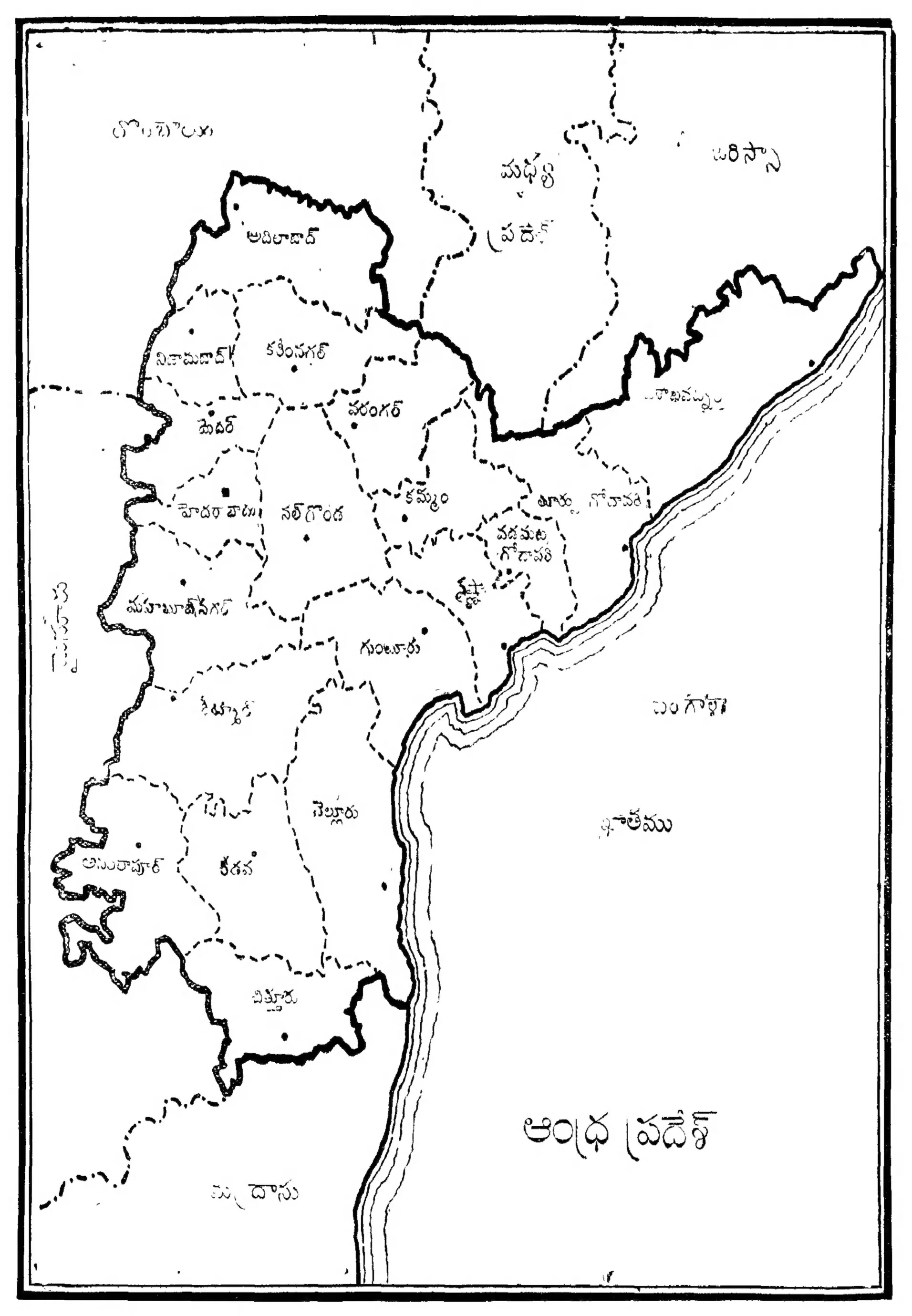
A black-and-white outline map of the new state, its district boundaries drawn in dashed lines and a thick line on the border with Madhya Pradesh and Orissa, with the coast on the right and district names in Telugu.
రకం
పటం
సృష్టికర్త
Information and Public Relations Department, Government of Andhra Pradesh
తేదీ
1956
లైసెన్సు
Public domain in India
మూలం
Information and Public Relations Department, Government of Andhra Pradesh, ఆంధ్రప్రదేశ్ (Andhra Pradesh), Vol. 1, No. 1, November-December 1956 (opens in a new tab), 1956, p. 85
మూలం
archive.org (opens in a new tab)
కనిపించే పేజీలు
ఆంధ్ర రాష్ట్రం, ఆంధ్రప్రదేశ్