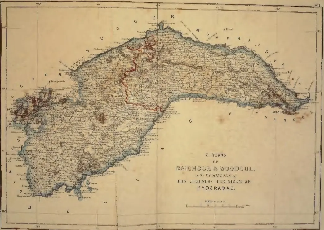
"Circars of Raichoor & Moodgul, in the Dominions of His Highness the Nizam of Hyderabad" (map No. 4, atlas presented to the Nizam, 1865); Raichoor is Raichur (identification ours)
- Type
- Map
- Creator
- S. Veeraragavooloo Naidoo (presenter), atlas of the Circars of the Nizam's Dominions, Arcot, 1865
- Date
- 1865
- Licence
- Public domain
- From
- S. Veeraragavooloo Naidoo, Atlas of the Circars of the Dominions of His Highness the Nizam of Hyderabad, presented to Afzal-ud-Daula (opens in a new tab), 1865, map No. 4 (PDF p. 6)
- Original
- archive.org (opens in a new tab)