Raichur
Fort town, now in Karnataka, that was a district headquarters of the Nizam's Dominions in 1939. An inscription in the rampart records that Vithala-natha built its stone fort in 1294. He was an officer of Prataparudra's commander Gona Gannaya-reddi.
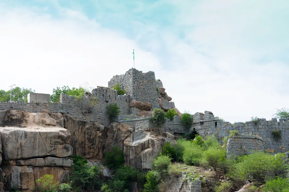
The Kakatiya fort
A large slab set up in the rampart of Raichur fort records the building of the stone fort of Raichur by Vithala.1 Vithala was an officer of Gona Gannaya-reddi, who served the Kakatiya king Prataparudra.1
The inscription is dated Saka 1216 (Saka is an Indian way of counting years), the cyclic year Jaya, the seventh day of the bright half of Margasira.1 The Hyderabad editor P. Sreenivasachar put this roughly in November 1294,1 and the 1961 Kannada Inscriptions of Andhra Pradesh gives 25 November 1294.2
The inscription says that Vithala took the forts of Adavani (Adoni), Tumbulamu, Manuva (Manvi) and Haluva.32 He then entered Racuru and built the fort for the protection of the people.32 See the Raichur fort inscription of Gona Vithala.
Setting
In 1939 Sreenivasachar described Raichur as the headquarters of the district of that name in the Nizam’s Dominions.4 He placed the places named in the inscription around it:4
Footnotes
-
P. Sreenivasachar, “Note on the Raichur Inscription of Vithala-natha, dated Saka 1216 (c. 1294 A.D.)”, Annual Report of the Archaeological Department of H.E.H. the Nizam’s Dominions, 1935-36 (1939), Appendix E, p. 32 (archive.org (opens in a new tab)). Paraphrased. ↩ ↩2 ↩3 ↩4
-
P. Sreenivasachar, N. Ramesan and P. B. Desai (eds.), Kannada Inscriptions of Andhra Pradesh (1961), p. 31, No. 78 (archive.org (opens in a new tab)). Paraphrased. ↩ ↩2 ↩3
-
Sreenivasachar, “Note on the Raichur Inscription” (1939), p. 35 (archive.org (opens in a new tab)). Paraphrased. ↩ ↩2
-
Sreenivasachar, “Note on the Raichur Inscription” (1939), p. 33 (archive.org (opens in a new tab)). Paraphrased. ↩ ↩2 ↩3 ↩4 ↩5
Photos
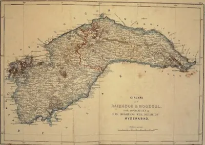 "Circars of Raichoor & Moodgul, in the Dominions of His Highness the Nizam of Hyderabad" (map No. 4, atlas presented to the Nizam, 1865); Raichoor is Raichur (identification ours)Map · 1865
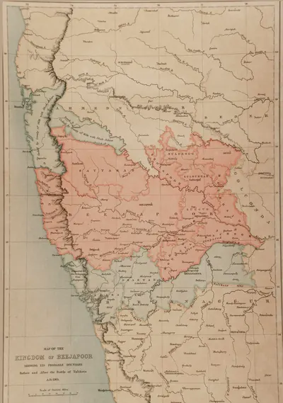 "Map of the Kingdom of Beejapoor, shewing its probable boundary before and after the Battle of Talikota, A.D. 1565" (Taylor and Fergusson, Architecture at Beejapoor, 1866, facing p. 1)Map · 1866
 Walls of Raichur fort on the rocky hillPhotograph · 2015
Related
People
Yusuf Adil Khan (Yusuf Adil Shah)
c. 1489–1510 CE
Founder of the Adil Shahi dynasty of Bijapur (r. about 1489–1510). He was a foreign-born officer of the Bahmani kings who governed the province of Bijapur with the title Adil Khan. He declared his independence in AH 895 (1489–90). In 1493 he defeated the Vijayanagara regent Timmaraja and took Mudgal and Raichur. This began a century of war over the Raichur doab.
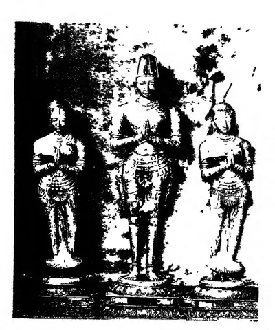
Krishnadeva Raya
1509–1529 CE
King of Vijayanagara from 1509 to 1529, of the Tuluva dynasty, and the most famous ruler of the empire. In 1512–16 he took Udayagiri, Kondavidu and Kondapalli from the Gajapati Prataparudra. He marched to Simhachalam and married the Gajapati's daughter. In 1520 he defeated the Adil Shah at Raichur. He wrote the Telugu poem Amuktamalyada, in which the god says Telugu is the best of the languages of the land. His court, with Allasani Peddana and Nandi Timmana, began the age of the Telugu prabandha (long narrative poem).
Ismail Adil Shah
1510–1534 CE
Second Adil Shahi sultan of Bijapur (r. 1510–1534), the son of Yusuf Adil Khan. The fortresses of Raichur and Mudgal changed hands with Vijayanagara in his reign. In 1520 Krishnadevaraya besieged Raichur and routed his army on the Krishna. After Krishnadevaraya's death, Ismail took both forts back.
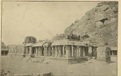
Achyuta Raya
1529–1542 CE
King of Vijayanagara from 1529 or 1530 to 1542, half-brother and successor of Krishnadeva Raya. He was crowned at Tirupati after years of confinement at Chandragiri. He lost Raichur and Mudkal to Bijapur, while Sultan Quli of Golconda attacked Kondavidu. His court poem credits him with a southern campaign and a victory at Raichur. Nuniz, who lived at his capital, called him a tyrant ruled by his two brothers-in-law, the Salakam Tirumalas, whose regency after his death led to civil war.
Ibrahim Adil Shah I
c. 1535–1558 CE
Fourth Adil Shahi sultan of Bijapur (r. 1535–1558), a younger son of Ismail Adil Shah. Invited by Bhoj Tirmal of Vijayanagara, he entered the Vijayanagara capital in 1535. His general Asad Khan then besieged Adoni, the first Bijapur attack on the fortress, which Ferishta says ended in a negotiated peace. In 1551–52 he lost Raichur and Mudgal to Aliya Rama Raya.
Ali Adil Shah I
c. 1558–1580 CE
Fifth Adil Shahi sultan of Bijapur (r. 1558–1580). He was first an ally of Aliya Rama Raya, but then joined the league of Deccan sultans that defeated and killed Rama Raya in January 1565. Afterwards he won back Raichur and Mudgal, took Adoni in 1568 and turned south against the Aravidu kings, besieging Penukonda. The date and details of that siege are disputed. He was the husband of Chand Bibi.
Ali Adil Shah II
1656–1672 CE
Eighth Adil Shahi sultan of Bijapur (r. 1656–1672). Aurangzeb invaded the kingdom when he came to the throne, claiming that he was not Muhammad Adil Shah's son. His reign saw the rise of Shivaji and the rebellion of Siddi Jauhar, the Abyssinian governor of Kurnool. Royal campaigns brought the Kurnool province and the Raichur country back under control, before the Mughal treaties of 1666–68 cut down the kingdom.
Sikandar Adil Shah
1672–1686 CE
Ninth and last Adil Shahi sultan of Bijapur (r. 1672–1686). He came to the throne as a small boy and reigned under regents: Khawas Khan, Bahlol Khan, and the Abyssinian Siddi Masud, jagirdar (land-grant holder) of Adoni. In his reign Shivaji marched through the Kurnool country to take Bijapur's Karnatak forts (1677), and the Raichur doab was ceded to the Marathas. Aurangzeb took Bijapur on 12 September 1686. Sikandar died a prisoner in 1700.
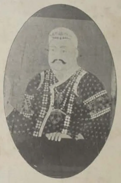
Nasir-ud-daula (Asaf Jah IV)
1829–1857 CE
Nizam of Hyderabad from 1829 to 1857, eldest son of Sikandar Jah. At his request the British officers who had supervised the districts were withdrawn. Misrule, debt and the arrears of the Hyderabad Contingent followed, and Chandu Lal resigned in 1843. By the treaty of 21 May 1853 Berar, Osmanabad and the Raichur Doab were assigned to the British to pay for the Contingent. A week later he appointed Salar Jang minister. He died on 16 May 1857.
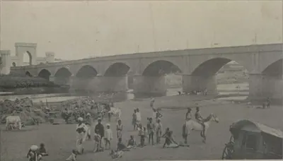
Afzal-ud-daula (Asaf Jah V)
1857–1869 CE
Nizam of Hyderabad from 1857 to 1869, eldest son of Nasir-ud-daula. He came to the throne on 16 May 1857, as the rising against the Company spread through northern India. With his minister Salar Jang he kept Hyderabad on the British side; the Residency was attacked on 17 July 1857 and the attack was driven off. By the treaty of 1860 Osmanabad and the Raichur Doab were given back to him, a debt of fifty lakhs was cancelled and Shorapur was added to his state; Berar stayed in British trust. He died on 26 February 1869.
Inscriptions
References
Notes (0)
Sources (2)
Spotted an error on this page? Tell us
Last updated: