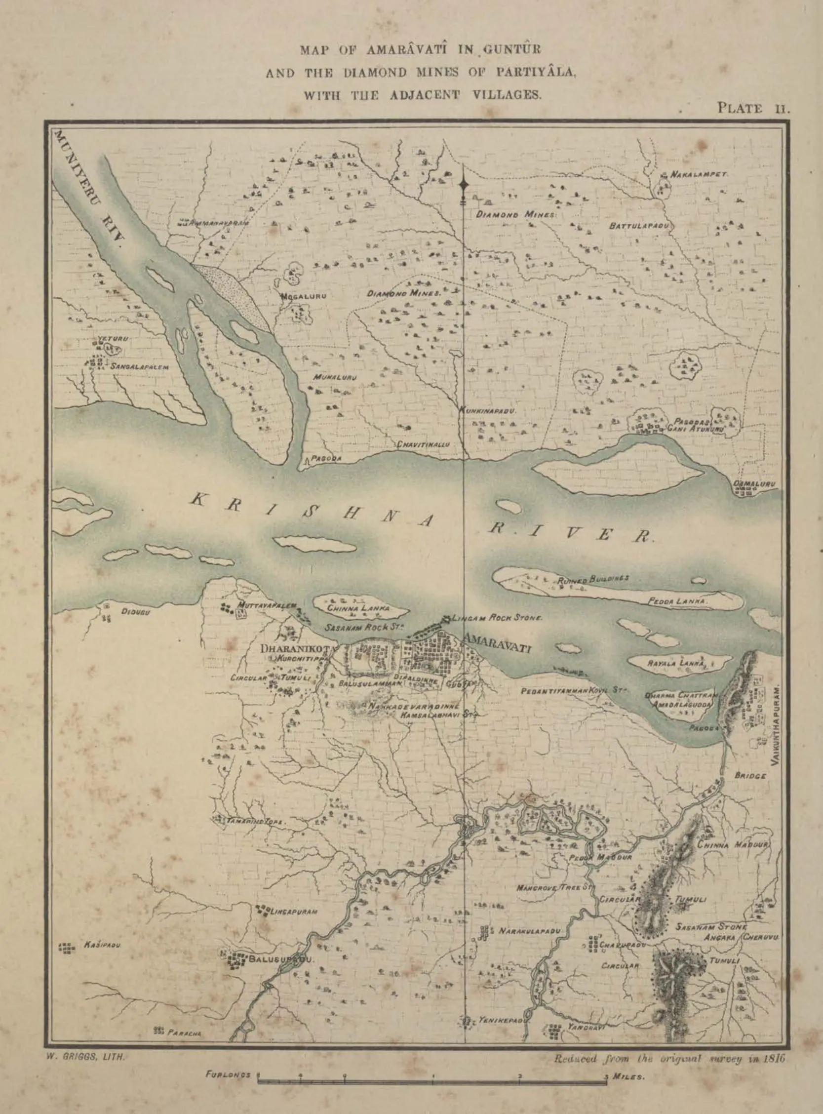
Map of Amaravati in Guntur with the adjacent villages, and the diamond mines of Partiyala (reduced from the survey of 1816) (Burgess 1887, Pl. II)
- Type
- Map
- Creator
- Survey of 1816 (Mackenzie); published by James Burgess
- Date
- 1887
- Licence
- Public domain
- From
- James Burgess, The Buddhist Stupas of Amaravati and Jaggayyapeta in the Krishna District, Madras Presidency, Surveyed in 1882 (opens in a new tab), 1887, Pl. II (PDF p. 28)
- Original
- archive.org (opens in a new tab)
- Appears in
- Amaravati & Dharanikota, Amaravati Mahachaitya