ప్రచురితమైన ఆధారాలతో నిర్మించిన కొత్త సైట్. ఏదైనా పొరపాటు కనిపించిందా? మాకు తెలియజేయండి

"Circars of Nuldroog, Kullianee, Beder & Kowlass, in the Dominions of His Highness the Nizam of Hyderabad" (map No. 7, atlas presented to the Nizam, 1865); Kullianee is Kalyani (identification ours)
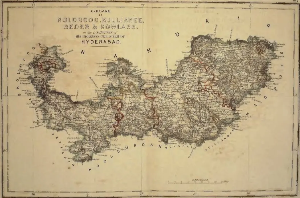
Hand-coloured map of a long east-west tract with Bidar in its eastern part, dark hill shading along its edges, red internal boundaries and a title cartouche at the upper left.
రకం
పటం
సృష్టికర్త
S. Veeraragavooloo Naidoo (presenter), atlas of the Circars of the Nizam's Dominions, Arcot, 1865
తేదీ
1865
లైసెన్సు
Public domain
మూలం
S. Veeraragavooloo Naidoo, Atlas of the Circars of the Dominions of His Highness the Nizam of Hyderabad, presented to Afzal-ud-Daula (opens in a new tab), 1865, map No. 7 (PDF p. 9)
మూలం
archive.org (opens in a new tab)
కనిపించే పేజీలు
మొఘలులు, అసఫ్ జాహీలు, బ్రిటిష్ పాలన, అసఫ్ జాహీలు (నిజాములు), కళ్యాణి (బసవకళ్యాణ్)