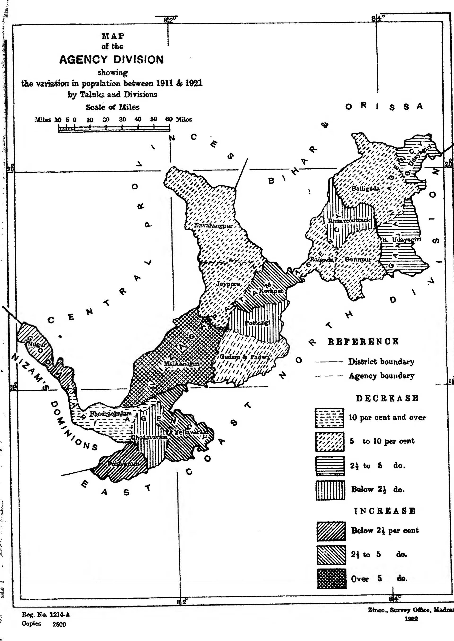
"Map of the Agency Division showing the variation in population between 1911 & 1921 by Taluks and Divisions": the hill tracts of Ganjam, Vizagapatam and Godavari (Census of India 1921, Madras, Part I, 1922)
Printed map of the long belt of hill country from Ganjam to Bhadrachalam between the Central Provinces and the coast, its taluks shaded in patterns for population change, with a key.
రకం
పటం
సృష్టికర్త
Survey Office, Madras, for the Census of India 1921, Vol. XIII, Madras, Part I