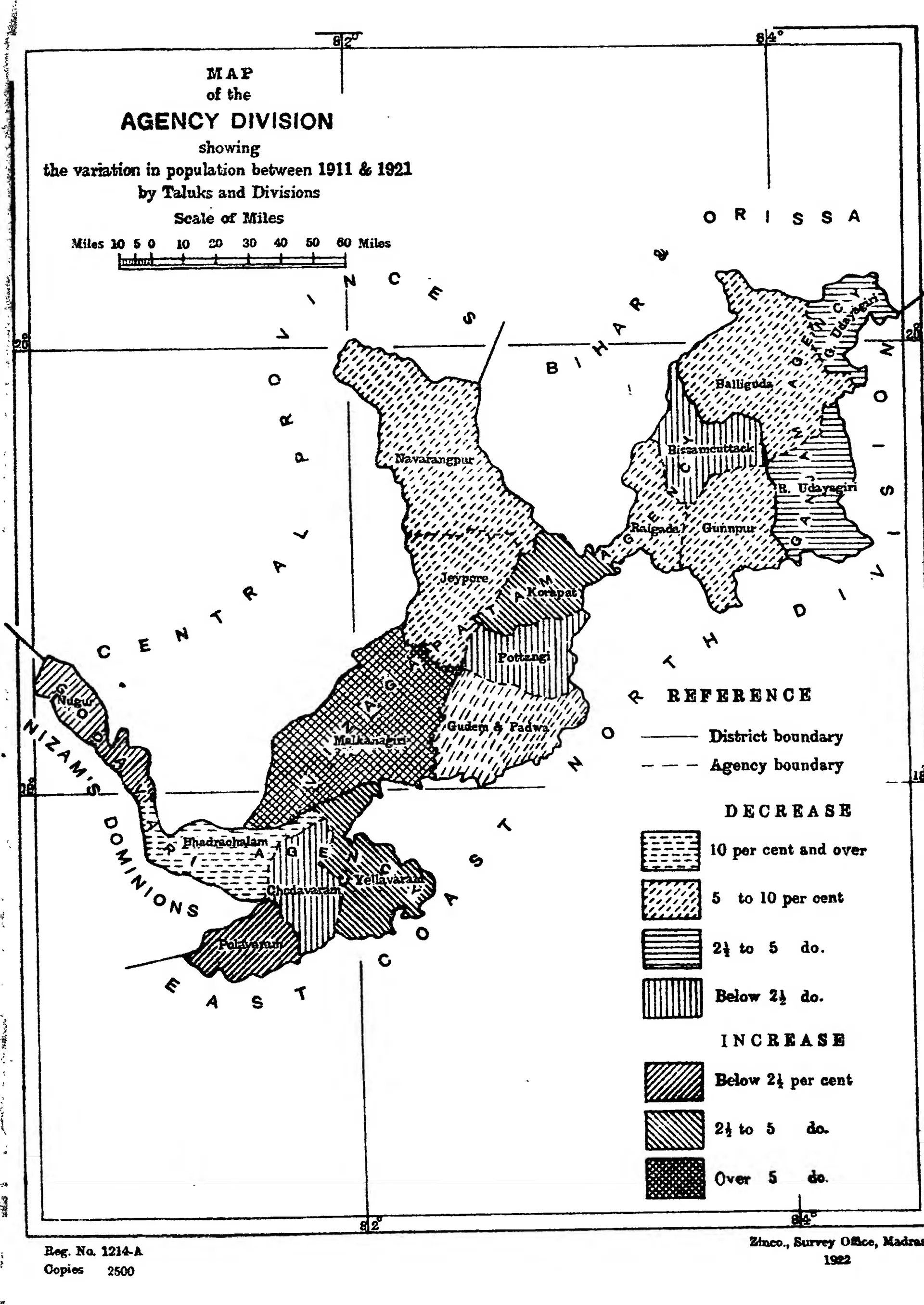
"Map of the Agency Division showing the variation in population between 1911 & 1921 by Taluks and Divisions": the hill tracts of Ganjam, Vizagapatam and Godavari (Census of India 1921, Madras, Part I, 1922)
- Type
- Map
- Creator
- Survey Office, Madras, for the Census of India 1921, Vol. XIII, Madras, Part I
- Date
- 1922
- Licence
- Public domain
- From
- G. T. Boag, Census of India, 1921, Vol. XIII: Madras, Part I, Report (opens in a new tab), 1922, map, PDF p. 30
- Original
- archive.org (opens in a new tab)
- Appears in
- British Crown (Madras Presidency), Bhadrachalam