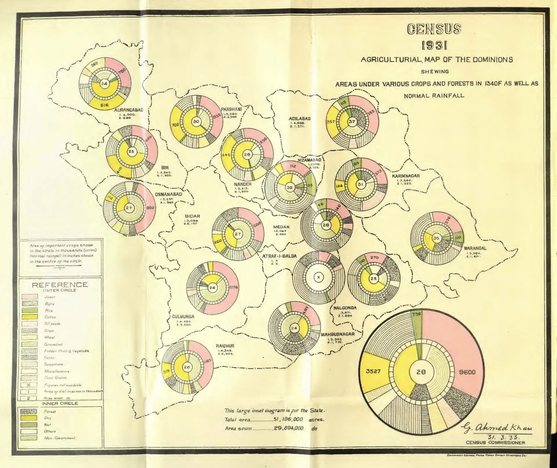
"Census 1931 Agricultural Map of the Dominions" (crops, forests and rainfall) (Census of India 1931, Hyderabad, folding map, PDF p. 35)
- రకం
- పటం
- సృష్టికర్త
- Gulam Ahmad Khan (Census of India 1931, H.E.H. the Nizam's Dominions)
- తేదీ
- 1933
- లైసెన్సు
- Public domain
- మూలం
- Khan, Gulam Ahmad, Census of India 1931 vol.23 H.E.H. the Nizamʼs dominions (Hyderabad State); pt.1- Report (opens in a new tab), 1933, folding map, PDF p. 35
- కనిపించే పేజీలు
- మొఘలులు, అసఫ్ జాహీలు, బ్రిటిష్ పాలన, వ్యాపారం, ఆర్థిక వ్యవస్థ