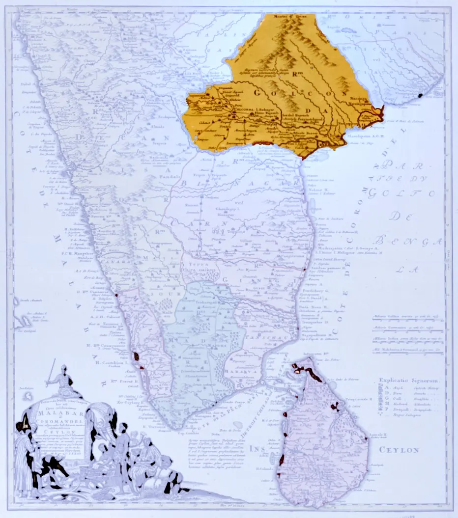
Map of peninsular India with the kingdom of Golconda coloured, published by the Homann Heirs, Nuremberg, 1733 (University of Michigan, Clark Library)
- రకం
- పటం
- సృష్టికర్త
- Homann Heirs, Nuremberg; photograph of the Clark Library copy released CC0 by Ms Sarah Welch (Wikimedia Commons)
- తేదీ
- 1733
- లైసెన్సు
- CC0 (opens in a new tab)
- కనిపించే పేజీలు
- విజయనగరం, కుతుబ్ షాహీలు, కుతుబ్ షాహీలు, గోల్కొండ