ప్రచురితమైన ఆధారాలతో నిర్మించిన కొత్త సైట్. ఏదైనా పొరపాటు కనిపించిందా? మాకు తెలియజేయండి

"Plan of the Carnatic and Mysore": hand-coloured map engraved after Robert Home, published 1794 (British Museum)
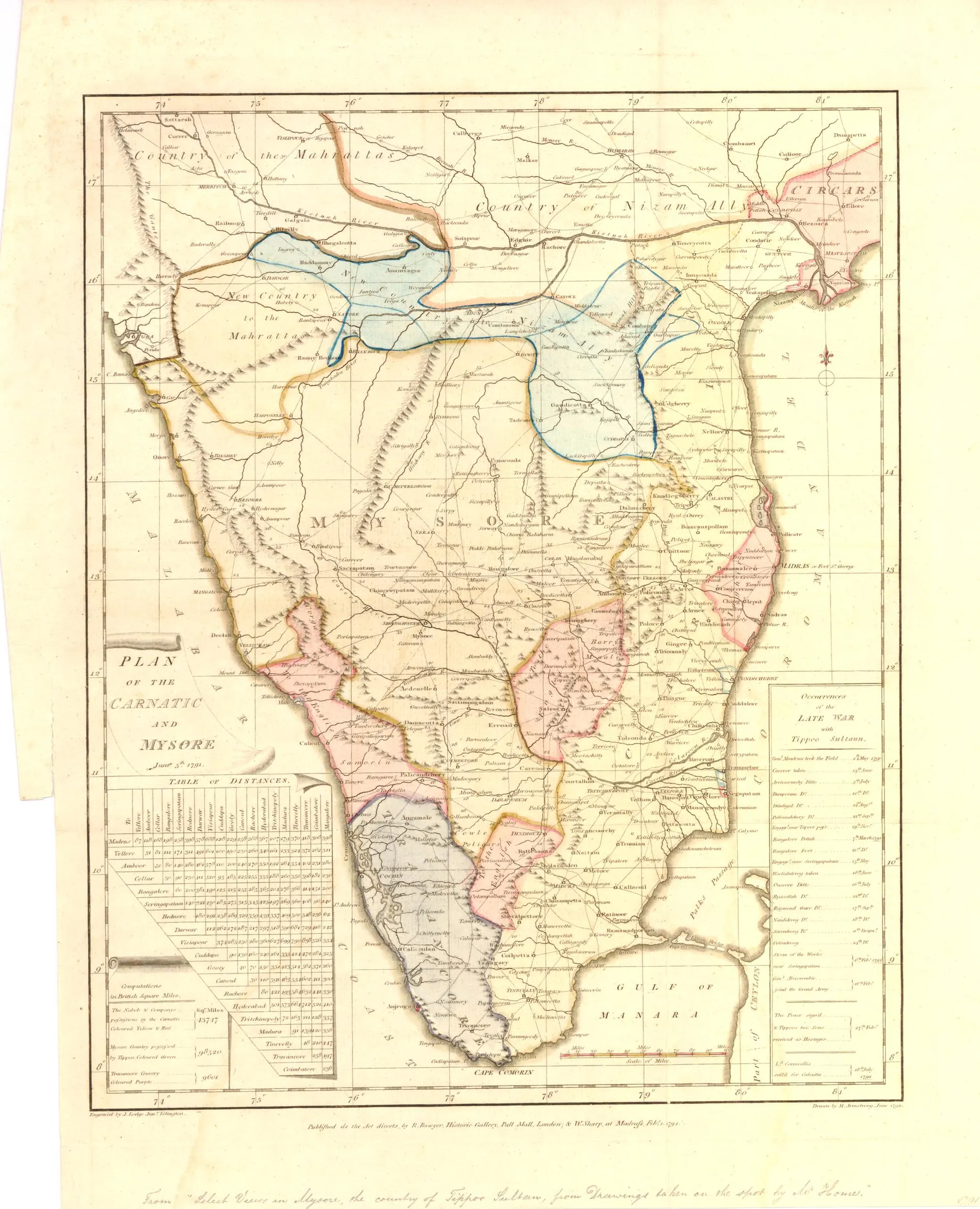
Hand-coloured engraved map of the south Indian peninsula from the Krishna to Cape Comorin, with territories outlined in different colours and a long table of names on the right.
రకం
పటం
సృష్టికర్త
Engraved by J. Lodge after Robert Home, published by Robert Bowyer (British Museum), via Wikimedia Commons
తేదీ
1794
లైసెన్సు
Public domain
మూలం
commons.wikimedia.org (opens in a new tab)
కనిపించే పేజీలు
కర్ణాటక (ఆర్కాటు) నవాబులు, హైదర్ అలీ, టిప్పు సుల్తాన్ కాలపు మైసూరు, ఆర్కాటు, నెల్లూరు