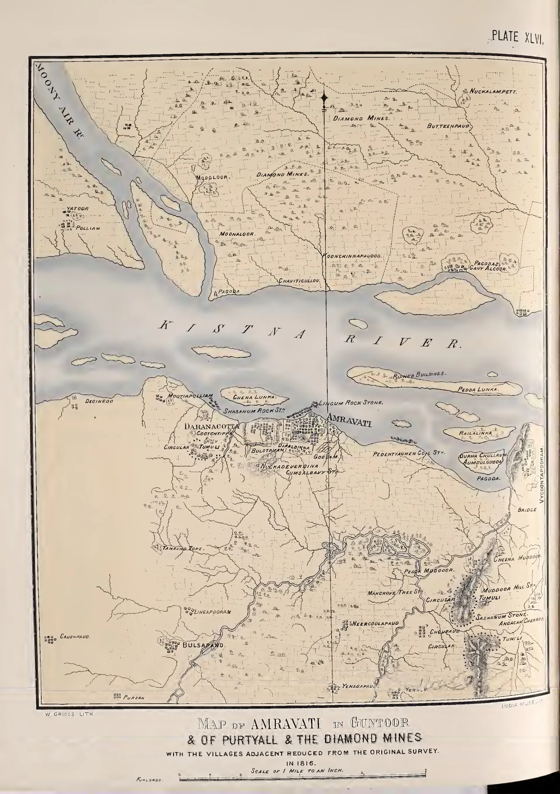
Map of Amravati in Guntoor & of Purtyall & the diamond mines, with the villages adjacent, reduced from the original survey in 1816 (Fergusson 1868, Pl. XLVI)
- రకం
- పటం
- సృష్టికర్త
- Survey of 1816 (Mackenzie); published by James Fergusson
- తేదీ
- 1868
- లైసెన్సు
- Public domain
- మూలం
- James Fergusson, Tree and Serpent Worship: Illustrations of Mythology and Art in India from the Sculptures of the Buddhist Topes at Sanchi and Amravati (opens in a new tab), 1868, Pl. XLVI (PDF p. 272)
- కనిపించే పేజీలు
- అమరావతి, ధరణికోట, అమరావతి మహాచైత్యం