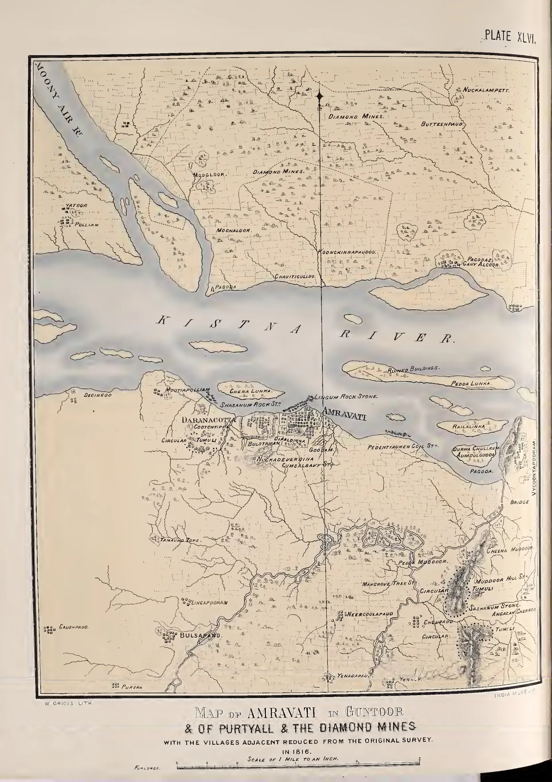
Map of Amravati in Guntoor & of Purtyall & the diamond mines, with the villages adjacent, reduced from the original survey in 1816 (Fergusson 1868, Pl. XLVI)
- Type
- Map
- Creator
- Survey of 1816 (Mackenzie); published by James Fergusson
- Date
- 1868
- Licence
- Public domain
- From
- James Fergusson, Tree and Serpent Worship: Illustrations of Mythology and Art in India from the Sculptures of the Buddhist Topes at Sanchi and Amravati (opens in a new tab), 1868, Pl. XLVI (PDF p. 272)
- Original
- archive.org (opens in a new tab)
- Appears in
- Amaravati & Dharanikota, Amaravati Mahachaitya