A new site, built from published sources. Spotted a mistake? Please tell us

"Circar of Kummumett, in the Dominions of His Highness the Nizam of Hyderabad" (map No. 2 of an atlas presented to the Nizam by S. Veeraragavooloo Naidoo, Arcot, 1865); Kummumett is Khammam (identification ours)
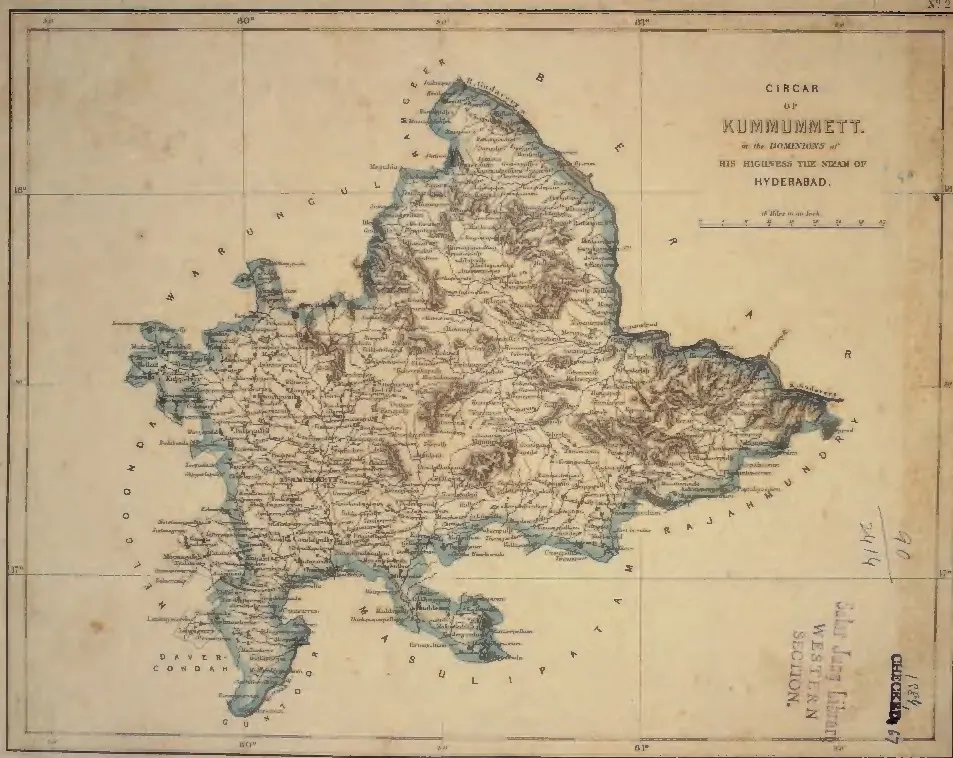
Hand-coloured nineteenth-century map of a district outlined in blue, densely lettered with village names and hill shading, bounded by the Godavari on the north-east; a title cartouche at the upper right and library stamps at the lower right.
Type
Map
Creator
S. Veeraragavooloo Naidoo (presenter), atlas of the Circars of the Nizam's Dominions, Arcot, 1865
Date
1865
Licence
Public domain
From
S. Veeraragavooloo Naidoo, Atlas of the Circars of the Dominions of His Highness the Nizam of Hyderabad, presented to Afzal-ud-Daula (opens in a new tab), 1865, map No. 2 (PDF p. 4)
Original
archive.org (opens in a new tab)
Appears in
Mughals, Asaf Jahis & the British, Asaf Jahis (Nizams of Hyderabad), Khammam, Palvancha