A new site, built from published sources. Spotted a mistake? Please tell us

"Noms des villages de la province de Nizampatnam et du Condavir": French manuscript map of the coast with numbered villages and a key, 18th century
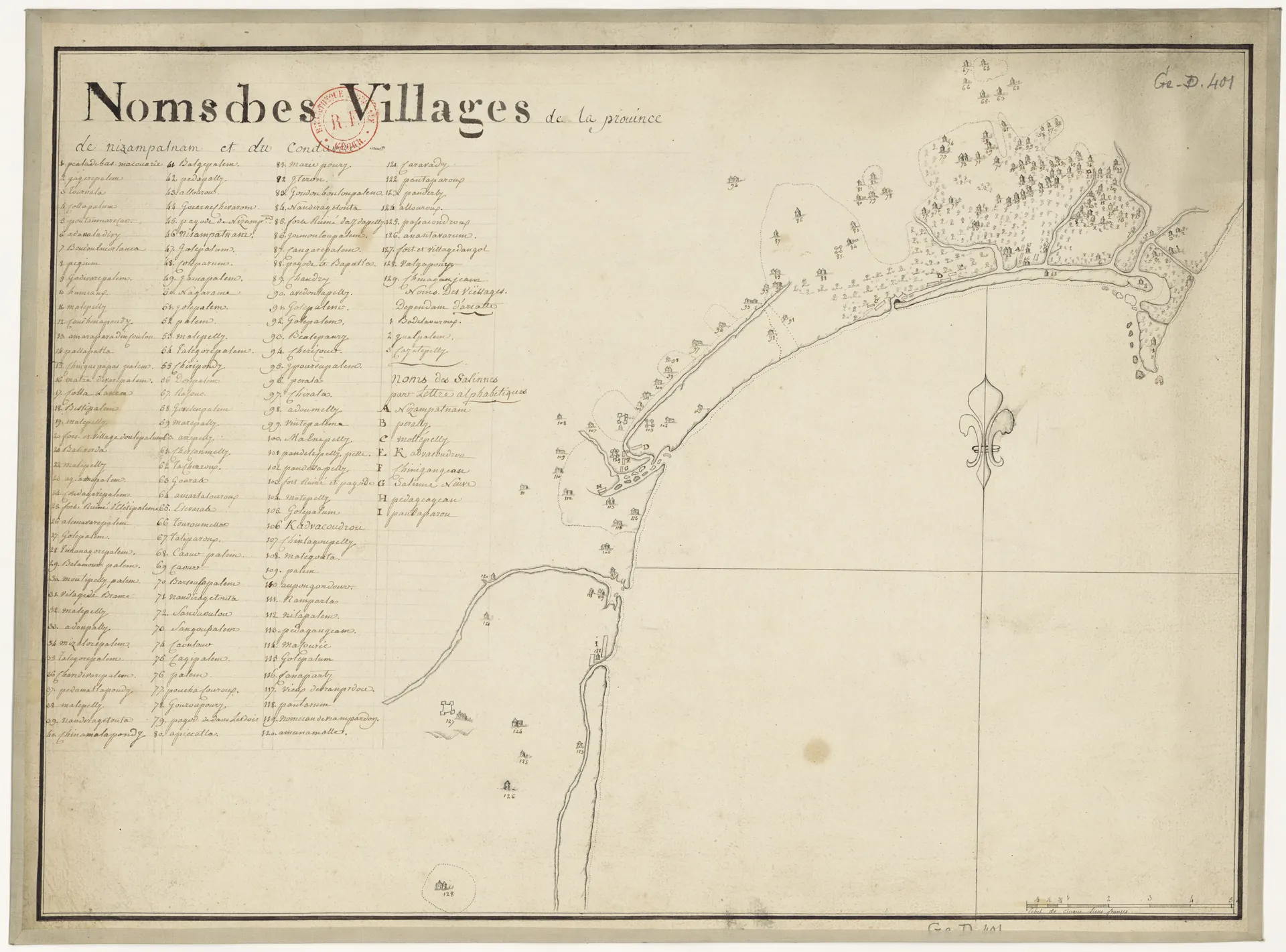
Hand-drawn eighteenth-century map on cream paper: a curving coastline with river mouths, numbered house symbols for villages and small trees, a fleur-de-lis compass mark at sea, and a long numbered list of village names at the left headed "Noms des Villages".
Type
Map
Creator
Anonymous French cartographer; Bibliotheque nationale de France (btv1b8439316k, Ge D 401)
Date
1750
Licence
Public domain
Original
commons.wikimedia.org (opens in a new tab)
Appears in
Mughals, Asaf Jahis & the British, Kondavidu, Nizampatnam