ప్రచురితమైన ఆధారాలతో నిర్మించిన కొత్త సైట్. ఏదైనా పొరపాటు కనిపించిందా? మాకు తెలియజేయండి

"Noms des villages de la province de Nizampatnam et du Condavir": French manuscript map of the coast with numbered villages and a key, 18th century
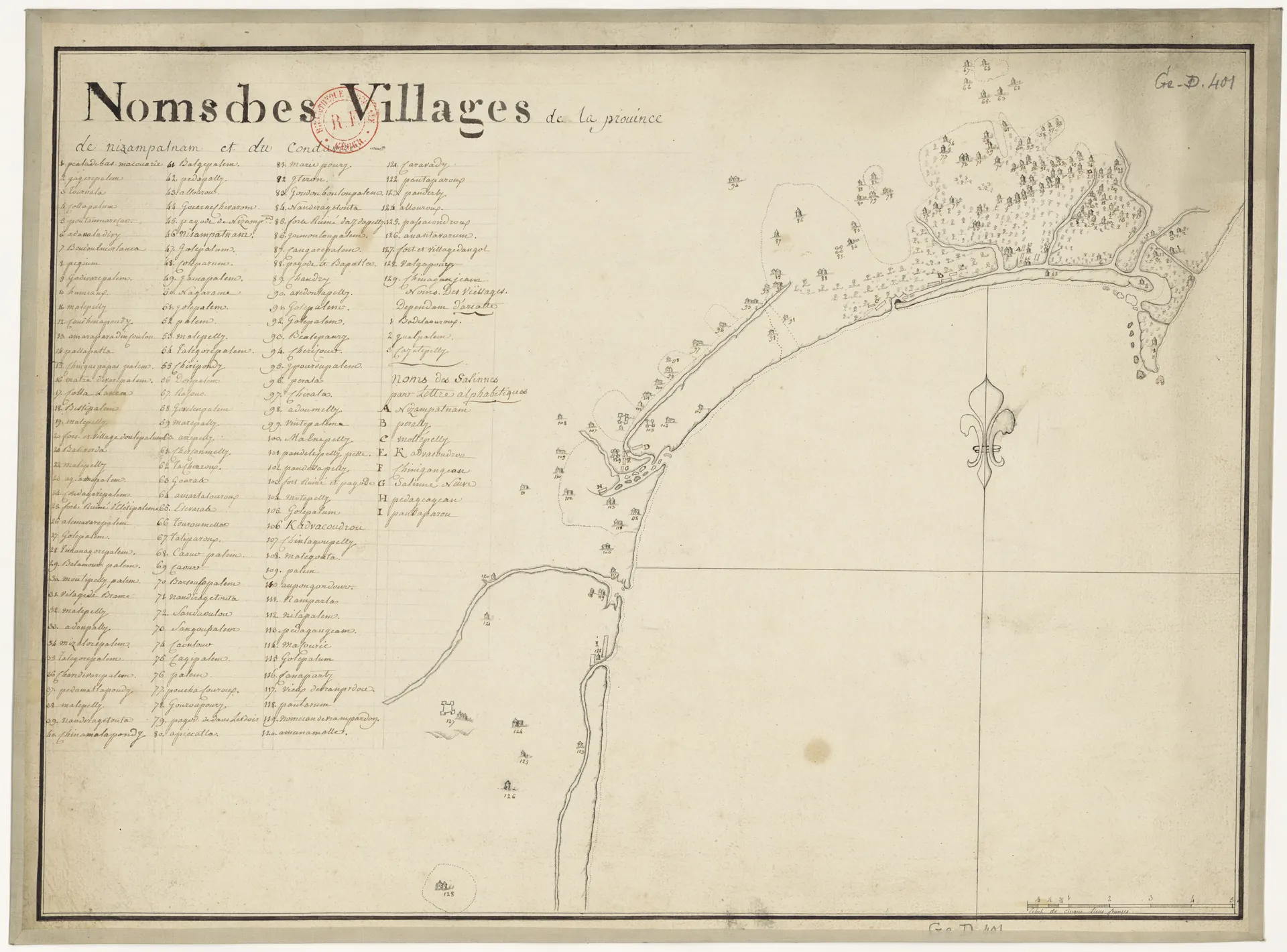
Hand-drawn eighteenth-century map on cream paper: a curving coastline with river mouths, numbered house symbols for villages and small trees, a fleur-de-lis compass mark at sea, and a long numbered list of village names at the left headed "Noms des Villages".
రకం
పటం
సృష్టికర్త
Anonymous French cartographer; Bibliotheque nationale de France (btv1b8439316k, Ge D 401)
తేదీ
1750
లైసెన్సు
Public domain
మూలం
commons.wikimedia.org (opens in a new tab)
కనిపించే పేజీలు
మొఘలులు, అసఫ్ జాహీలు, బ్రిటిష్ పాలన, కొండవీడు, నిజాంపట్నం