A new site, built from published sources. Spotted a mistake? Please tell us

"Plan of Kurnool": the fort, the pettah and the Agent's house between the Tungabhadra and the Handri, from Pharoah's Gazetteer of Southern India (Madras, 1855)
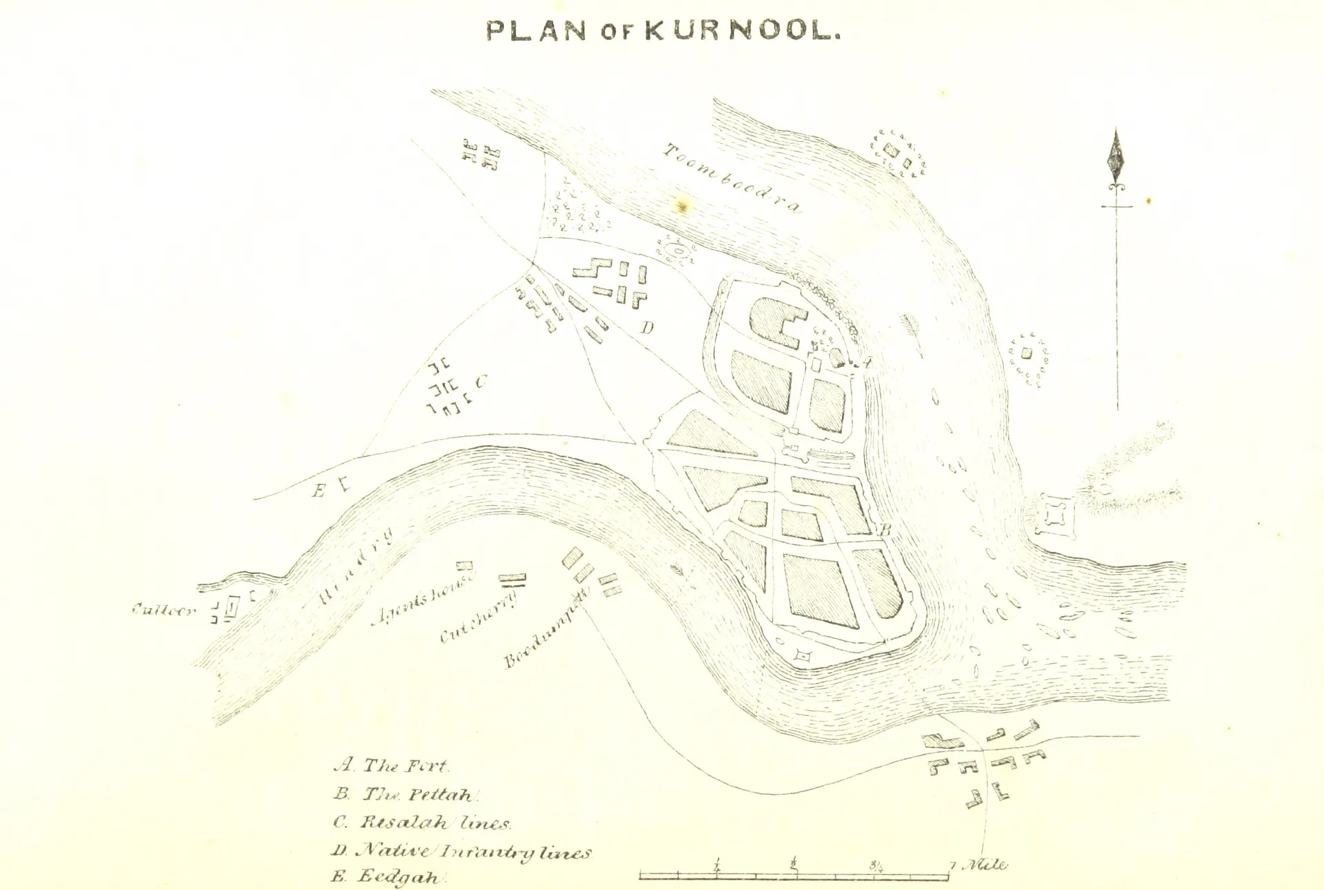
Engraved plan of a walled town on a tongue of land where a smaller river joins a broad one, with a fort at the confluence, lettered lines and buildings to the west, and a key in the lower left corner.
Type
Plan
Creator
Pharoah and Co., Madras (British Library), via Wikimedia Commons
Date
1855
Licence
Public domain
Original
commons.wikimedia.org (opens in a new tab)
Appears in
Nawabs of Kurnool, Ghulam Rasul Khan (Nawab of Kurnool), Kurnool