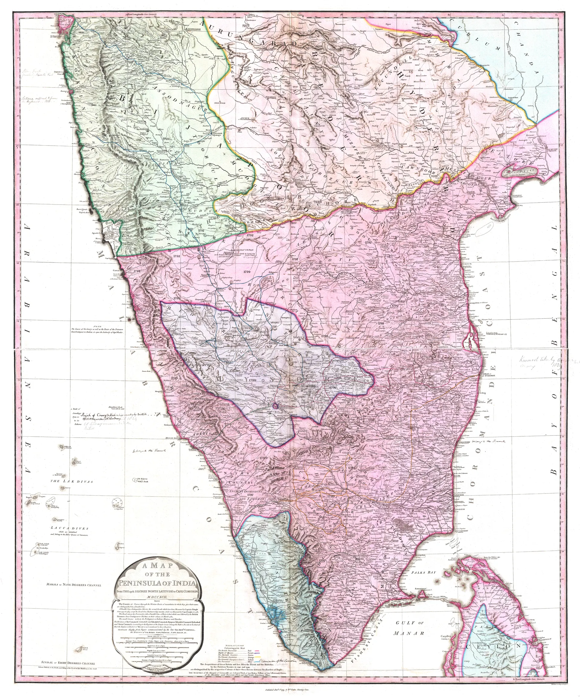
Telugu History / GalleryMap of Peninsular India, c. 1800Hand-coloured map of peninsular India around 1800, showing the Deccan, the Nizam's territories and the Northern Circars.TypeMapCreatorWilliam Faden, LondonDatec. 1800LicencePublic domainOriginalcommons.wikimedia.org↗ (opens in a new tab)Appears inMughals, Asaf Jahis & the British, Marathas and the Telugu country, Mysore under Haidar Ali and Tipu Sultan