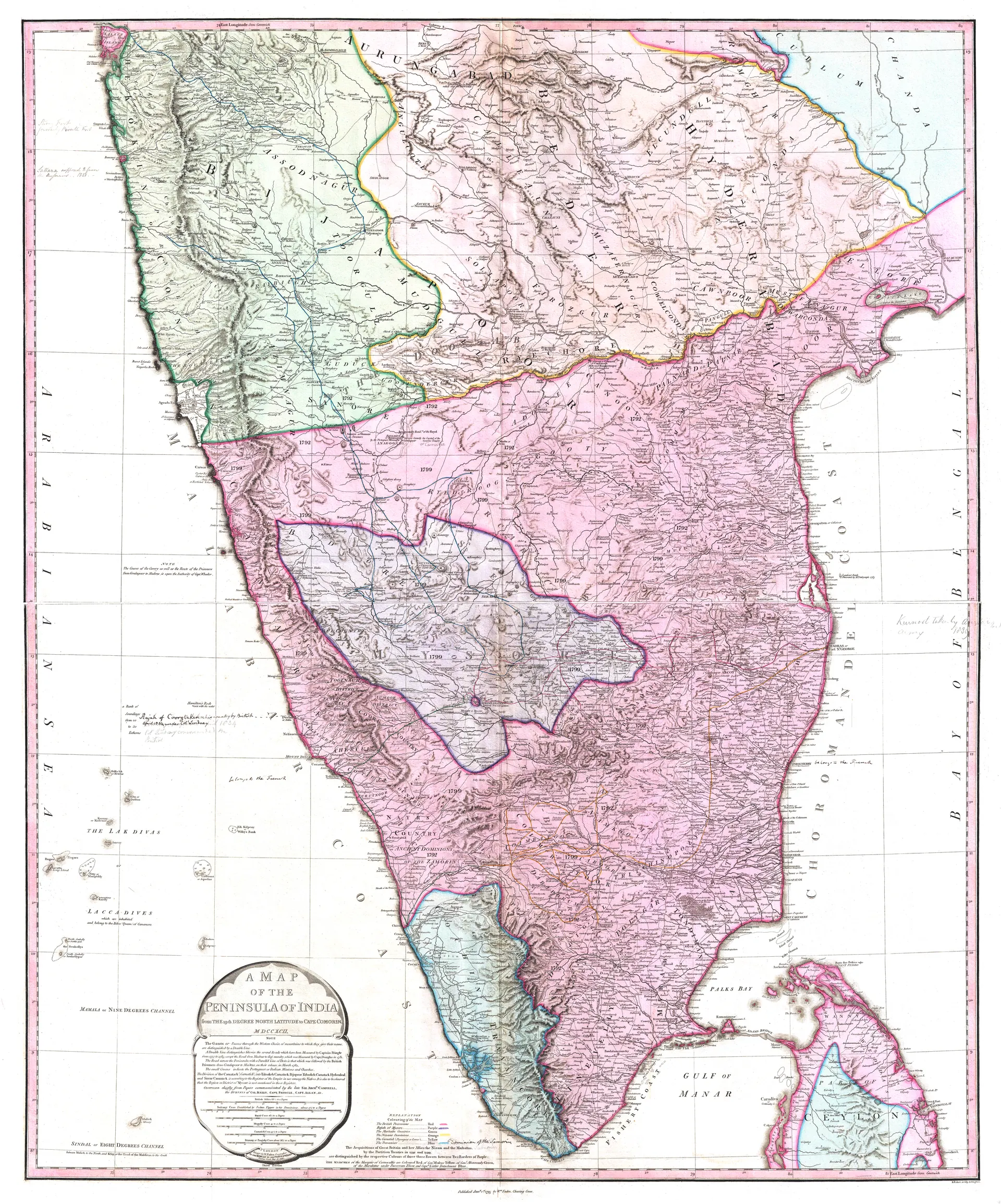
తెలుగు చరిత్ర / చిత్రమాలికMap of Peninsular India, c. 1800Hand-coloured map of peninsular India around 1800, showing the Deccan, the Nizam's territories and the Northern Circars.రకంపటంసృష్టికర్తWilliam Faden, Londonతేదీc. 1800లైసెన్సుPublic domainమూలంcommons.wikimedia.org↗ (opens in a new tab)కనిపించే పేజీలుమొఘలులు, అసఫ్ జాహీలు, బ్రిటిష్ పాలన, మరాఠాలు, తెలుగు దేశం, హైదర్ అలీ, టిప్పు సుల్తాన్ కాలపు మైసూరు