A new site, built from published sources. Spotted a mistake? Please tell us

Ellore and Colair (Kolleru) Lake, detail of the "Sketch Map of the Godavari Delta showing positions of the principal irrigation & navigation works" (Walch 1896, folding map, PDF p. 17)
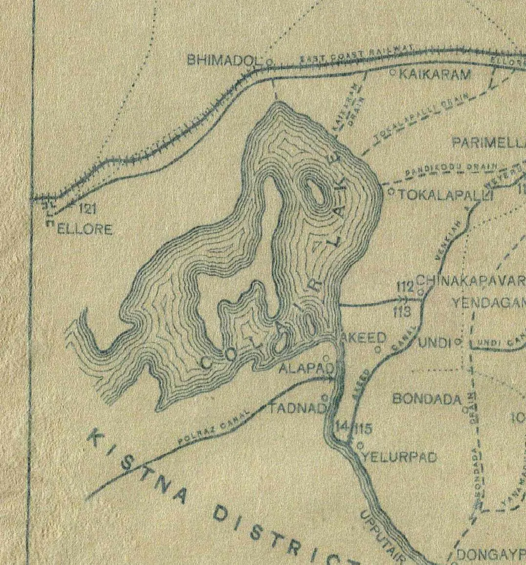
Detail of a printed map: the lobed outline of Colair Lake drawn with contour-like shore lines, the town of Ellore at its north-west with the East Coast Railway and Ellore canal running east past Bhimadol, villages such as Tokalapalli, Akeed and Alapad round the lake, and the Kistna District boundary to the south.
Type
Map
Creator
George T. Walch (map printed at the Photo-Print Survey Office, Madras, 1895)
Date
1896
Licence
Public domain
From
George T. Walch, The Engineering Works of the Godavari Delta: A Descriptive and Historical Account (opens in a new tab), 1896, folding map, left half (PDF p. 17)
Original
archive.org (opens in a new tab)
Appears in
Ikshvakus, Vishnukundins & early kingdoms, Salankayanas of Vengi, Vengi (Pedavegi)