Nagulapadu
Village on the east bank of the Musi south of Suryapet, once a walled town, with ruined Kakatiya-period temples and inscriptions of Ganapatideva's and Prataparudra's reigns.
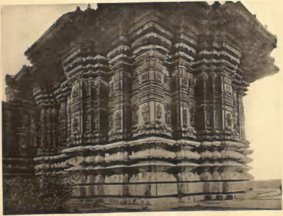
Nagulapadu lies on the east bank of the Musi river, 16 miles south of Suryapet in the old Nalgonda district.1 See the Nagulapadu temples.
Footnotes
-
G. Yazdani (Director), Annual Report of the Archaeological Department of H.E.H. the Nizam’s Dominions, 1336 F. (1926–27) (1929), p. 1 (archive.org (opens in a new tab)). ↩
Photos
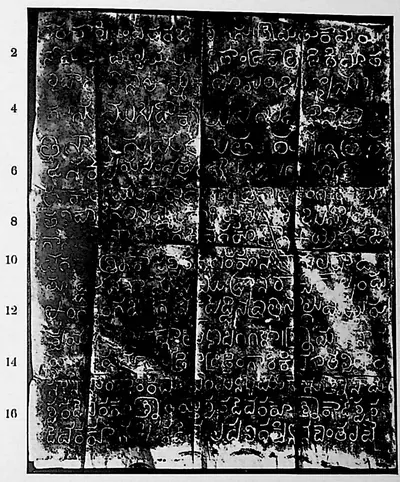 "Nāgulapāḍu inscription of Nāmaya, Kāmaya and Mallaya", face I (Sreenivasachar, Corpus of Inscriptions in the Telingana Districts II, Plate 32 (PDF p. 284))Inscription rubbing · 1940
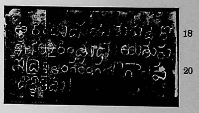 "Nāgulapāḍu inscription of Nāmaya, Kāmaya and Mallaya", face II (Sreenivasachar, Corpus of Inscriptions in the Telingana Districts II, Plate 32 (PDF p. 284))Inscription rubbing · 1940
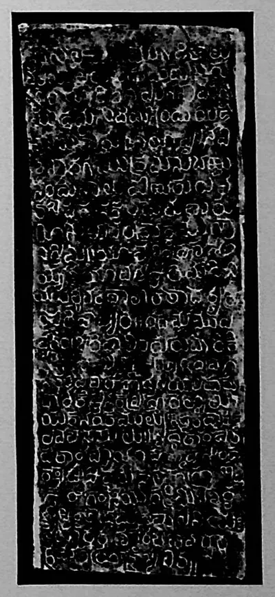 "Nāgulapāḍu inscription of Rēcerla Kāṭreḍḍi", lower piece (Sreenivasachar, Corpus of Inscriptions in the Telingana Districts II, Plate 29 (PDF p. 278))Inscription rubbing · 1940
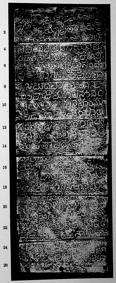 "Nāgulapāḍu inscription of Saka 1225" (Sreenivasachar, Corpus of Inscriptions in the Telingana Districts II, Plate 31 (PDF p. 282))Inscription rubbing · 1940
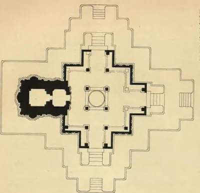 "Plan of the Northern Temple of Nagulpad: Nalgonda District" (Hyderabad Arch. Report 1927-28, Pl. II (b))Drawing · 1929
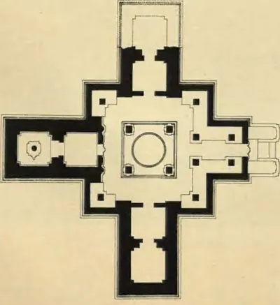 "Plan of the Southern Temple of Nagulpad: Nalgonda District" (Hyderabad Arch. Report 1927-28, Pl. II (a))Drawing · 1929
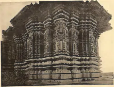 "Temple No. 1: Carving" (Nagulapadu; Hyderabad Arch. Report 1926-27, Pl. VIII (b) (PDF p. 79))Historic photograph · 1929
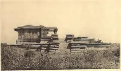 "Temple No. 1: Nagulpad (Nalgonda)" (Hyderabad Arch. Report 1926-27, Pl. VIII (a) (PDF p. 79))Historic photograph · 1929
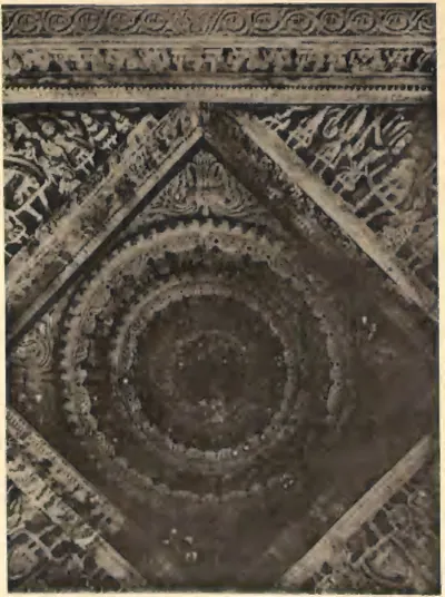 "Temple No. 2: Ceiling" (Nagulapadu; Hyderabad Arch. Report 1926-27, Pl. IX (b) (PDF p. 81))Historic photograph · 1929
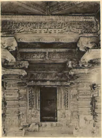 "Temple No. 2: Nagulpad (Nalgonda)" (Hyderabad Arch. Report 1926-27, Pl. IX (a) (PDF p. 81))Historic photograph · 1929
Related
Monuments
References
Notes (0)
Sources (1)
Spotted an error on this page? Tell us
Last updated: