ప్రచురితమైన ఆధారాలతో నిర్మించిన కొత్త సైట్. ఏదైనా పొరపాటు కనిపించిందా? మాకు తెలియజేయండి

"Circars of Succur, Koolburga, Mulkhaid, Hoonanabad and Koilkondah, in the Dominions of His Highness the Nizam of Hyderabad" (map No. 5, atlas presented to the Nizam, 1865)
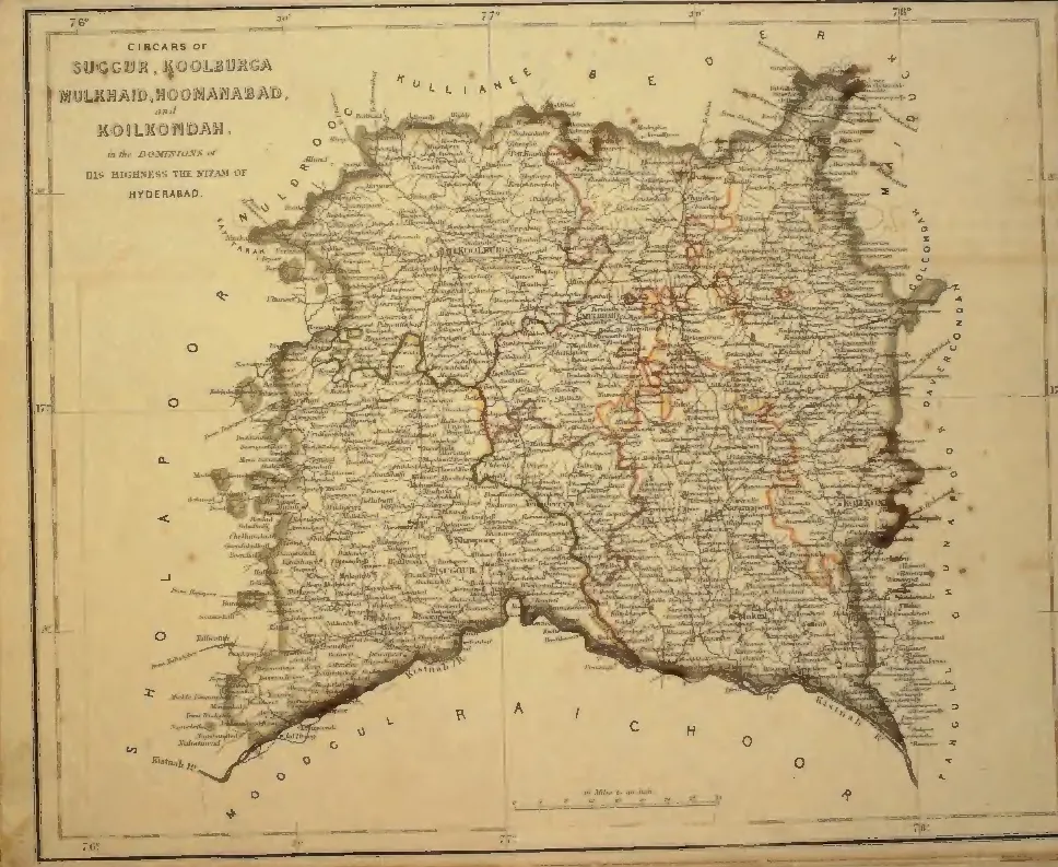
Hand-coloured map of a large square tract bounded by the Krishna and Bhima on the south, with orange and red internal boundaries and village names throughout; title cartouche at the upper left (the scan page is printed upside down and has been turned).
రకం
పటం
సృష్టికర్త
S. Veeraragavooloo Naidoo (presenter), atlas of the Circars of the Nizam's Dominions, Arcot, 1865
తేదీ
1865
లైసెన్సు
Public domain
మూలం
S. Veeraragavooloo Naidoo, Atlas of the Circars of the Dominions of His Highness the Nizam of Hyderabad, presented to Afzal-ud-Daula (opens in a new tab), 1865, map No. 5 (PDF p. 7)
మూలం
archive.org (opens in a new tab)
కనిపించే పేజీలు
మొఘలులు, అసఫ్ జాహీలు, బ్రిటిష్ పాలన, అసఫ్ జాహీలు (నిజాములు), మళఖేడ్ (మాన్యఖేట), మహబూబ్‌నగర్