ప్రచురితమైన ఆధారాలతో నిర్మించిన కొత్త సైట్. ఏదైనా పొరపాటు కనిపించిందా? మాకు తెలియజేయండి

అశోకుని సామ్రాజ్యం, క్రీ.పూ. 250 (స్మిత్ 1920, చివరి పటం)
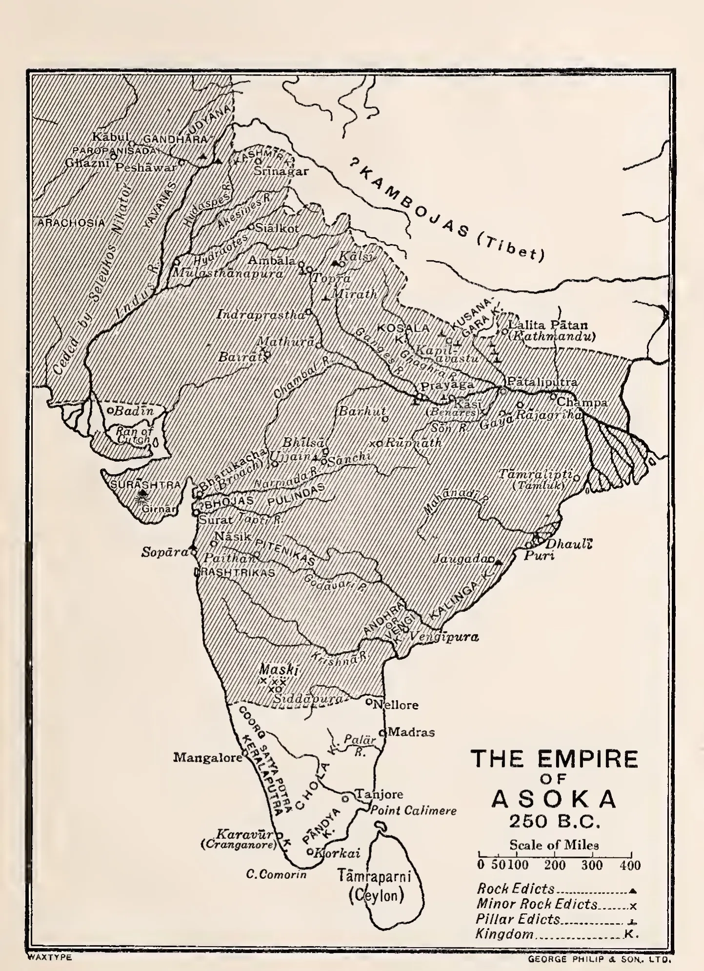
Printed map of the Indian subcontinent with the area of Asoka's empire hatched, its southern edge a dashed line just north of Nellore; Andhra or Vengi and Kalinga are marked as kingdoms, and symbols show rock edicts, minor rock edicts and pillar edicts.
రకం
పటం
సృష్టికర్త
Vincent A. Smith (engraved by George Philip & Son)
తేదీ
1920
లైసెన్సు
Public domain
మూలం
Vincent A. Smith, Asoka, the Buddhist Emperor of India (Rulers of India), 3rd edition (opens in a new tab), 1920, map at end (PDF p. 285)
మూలం
archive.org (opens in a new tab)
కనిపించే పేజీలు
మౌర్యులు, శాతవాహనులు, మౌర్యులు, అశోకుడు