A new site, built from published sources. Spotted a mistake? Please tell us

The Empire of Asoka, 250 B.C. (Smith 1920, map at end)
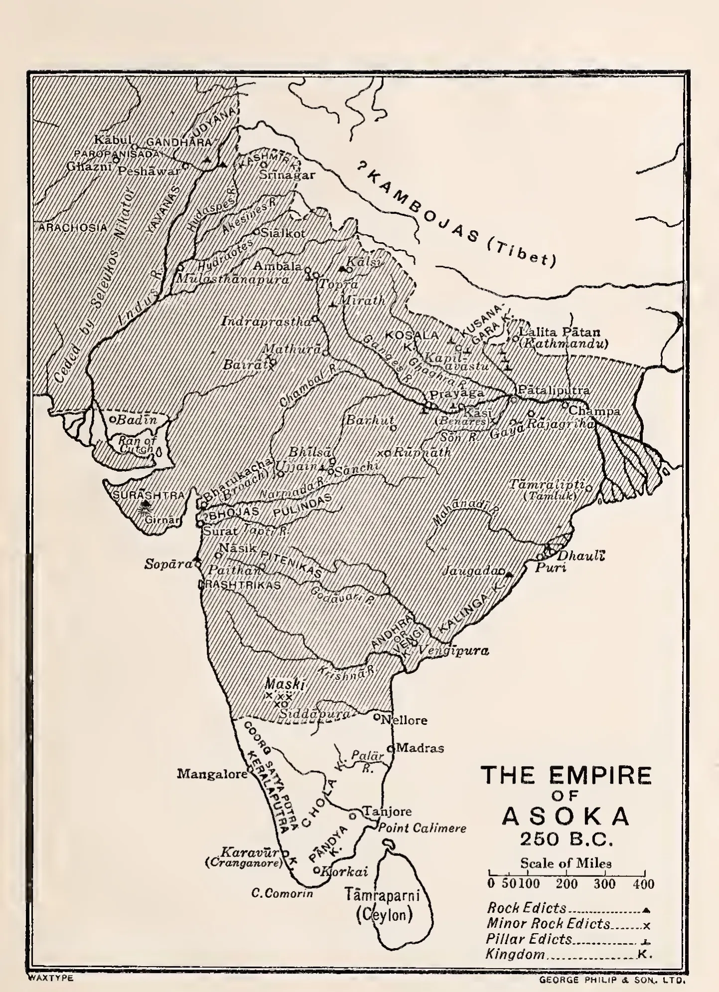
Printed map of the Indian subcontinent with the area of Asoka's empire hatched, its southern edge a dashed line just north of Nellore; Andhra or Vengi and Kalinga are marked as kingdoms, and symbols show rock edicts, minor rock edicts and pillar edicts.
Type
Map
Creator
Vincent A. Smith (engraved by George Philip & Son)
Date
1920
Licence
Public domain
From
Vincent A. Smith, Asoka, the Buddhist Emperor of India (Rulers of India), 3rd edition (opens in a new tab), 1920, map at end (PDF p. 285)
Original
archive.org (opens in a new tab)
Appears in
Mauryas & Satavahanas, Mauryas, Asoka