A new site, built from published sources. Spotted a mistake? Please tell us

"Map of the Cuddapah District 1915" (Brackenbury 1915, folding map, PDF p. 1)
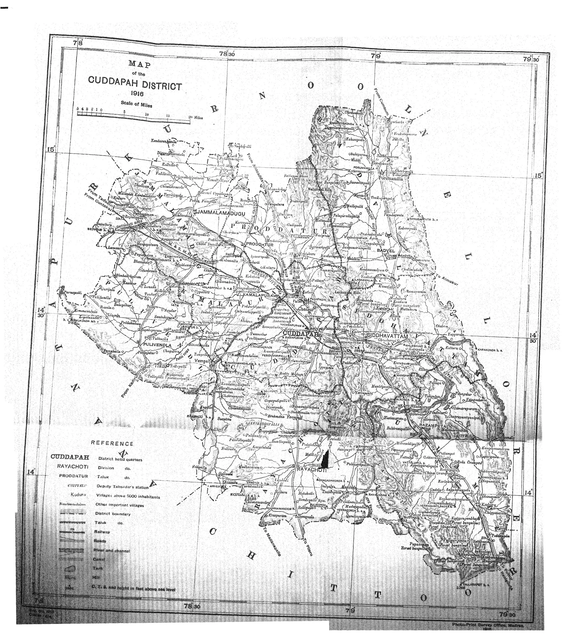
Folding map of the Cuddapah district with Kurnool, Nellore and Chittoor around it, taluk boundaries, the Penner river, roads and railway, and a reference key; the scan has a few creases.
Type
Map
Creator
C. F. Brackenbury (Madras District Gazetteers)
Date
1915
Licence
Public domain
From
C. F. Brackenbury, Madras District Gazetteers: Cuddapah, Vol. I (opens in a new tab), 1915, folding map, PDF p. 1
Original
archive.org (opens in a new tab)
Appears in
Mughals, Asaf Jahis & the British, Telugu Cholas of Renadu, British Crown (Madras Presidency), Kalamalla, Kadapa (Cuddapah)