ప్రచురితమైన ఆధారాలతో నిర్మించిన కొత్త సైట్. ఏదైనా పొరపాటు కనిపించిందా? మాకు తెలియజేయండి

"Map of the Cuddapah District 1915" (Brackenbury 1915, folding map, PDF p. 1)
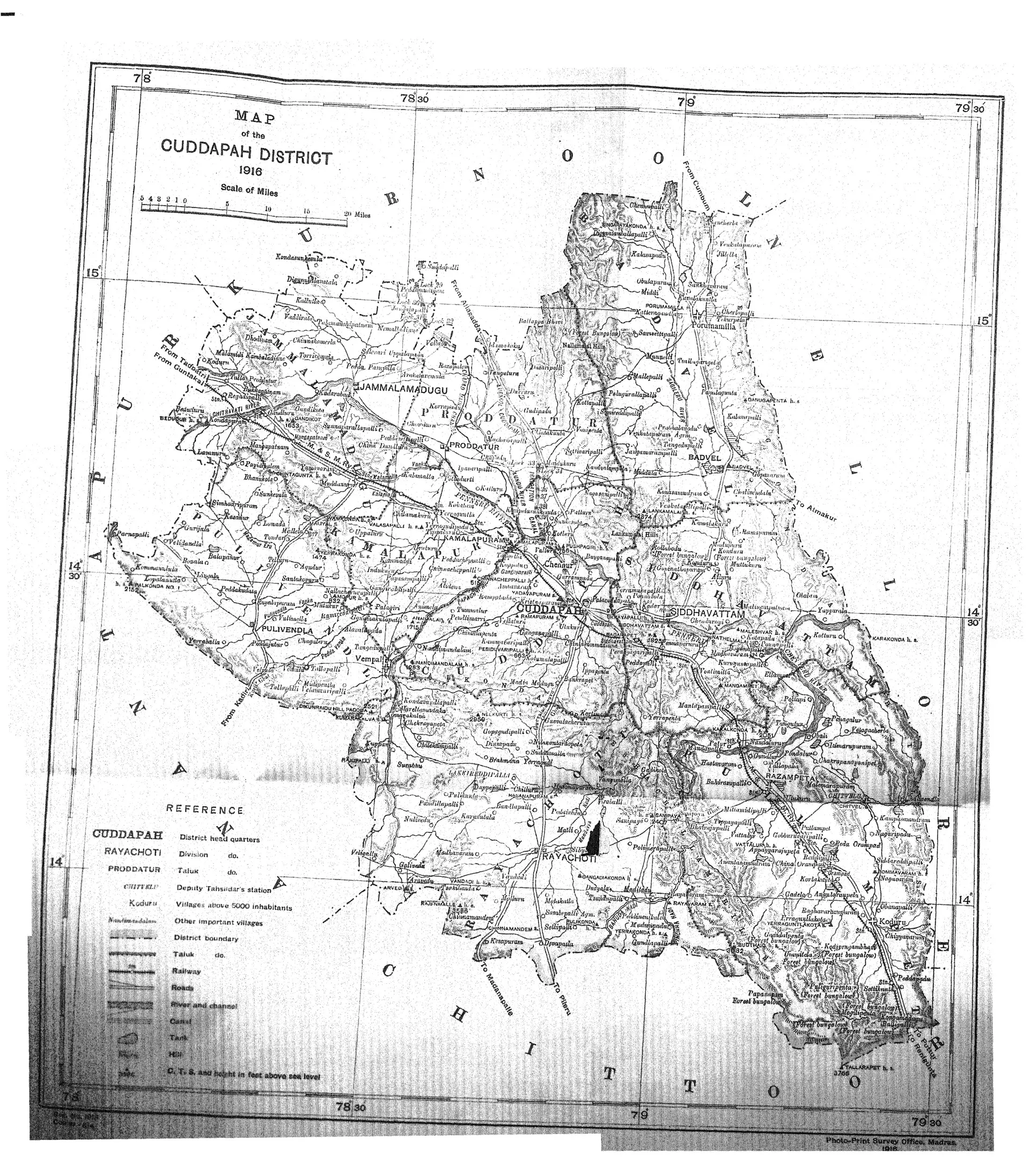
Folding map of the Cuddapah district with Kurnool, Nellore and Chittoor around it, taluk boundaries, the Penner river, roads and railway, and a reference key; the scan has a few creases.
రకం
పటం
సృష్టికర్త
C. F. Brackenbury (Madras District Gazetteers)
తేదీ
1915
లైసెన్సు
Public domain
మూలం
C. F. Brackenbury, Madras District Gazetteers: Cuddapah, Vol. I (opens in a new tab), 1915, folding map, PDF p. 1
మూలం
archive.org (opens in a new tab)
కనిపించే పేజీలు
మొఘలులు, అసఫ్ జాహీలు, బ్రిటిష్ పాలన, రేనాటి చోళులు, బ్రిటిష్ రాజ్ (మద్రాసు ప్రెసిడెన్సీ), కలమల్ల, కడప