A new site, built from published sources. Spotted a mistake? Please tell us

"The Nizam's Dominions, shewing the territories retained, those retransferred and those ceded" (coloured map) (Briggs 1861, folding map, PDF p. 26)
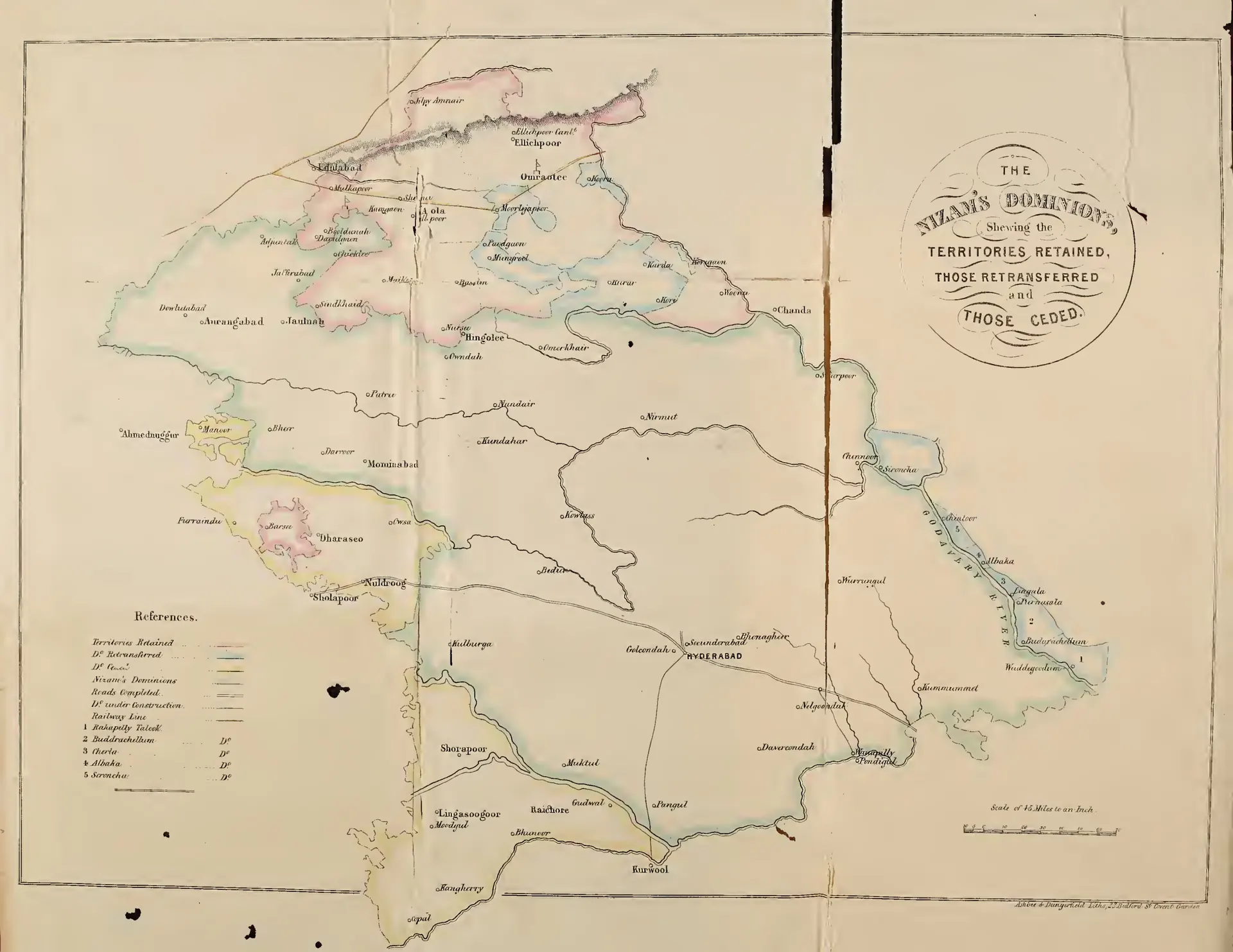
Coloured folding map of the Nizam's dominions with coloured boundaries for territories retained, retransferred and ceded, roads and railway, and numbered taluks on the Godavari (Rakapelly, Buddrachellum, Cherla, Albaka, Seroncha).
Type
Map
Creator
Henry George Briggs
Date
1861
Licence
Public domain
From
Henry George Briggs, The Nizam: His History and Relations with the British Government, Vol. I (opens in a new tab), 1861, folding map, PDF p. 26
Original
archive.org (opens in a new tab)
Appears in
Mughals, Asaf Jahis & the British, Asaf Jahis (Nizams of Hyderabad), Hyderabad, Aurangabad