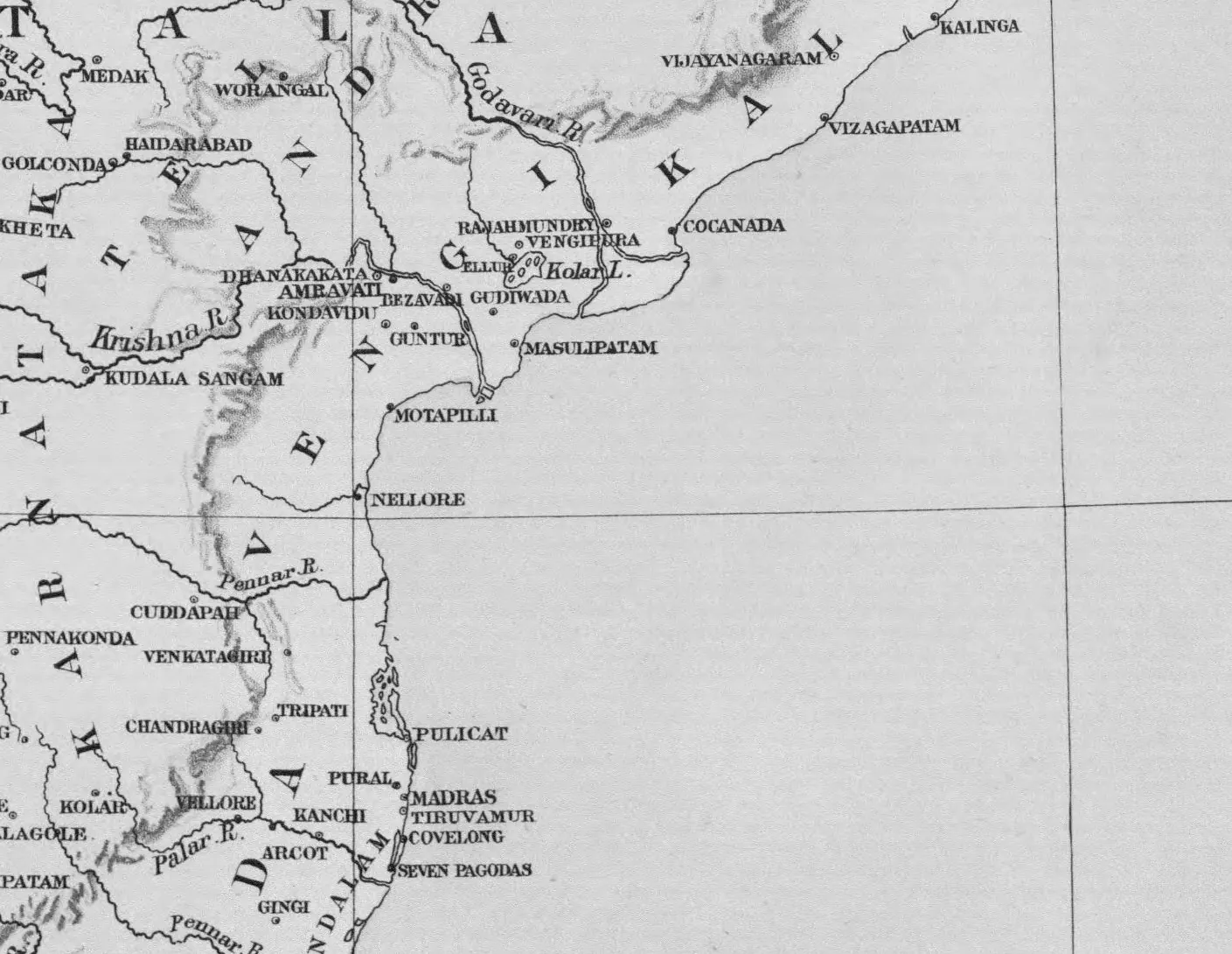
Vengi, the Krishna and the coast south to Kanchi and Tondamandalam: detail of "A Map of Southern India shewing the territories of the ancient dynasties according to the best authorities" (Elliot 1886, folding map, PDF p. 185)
- Type
- Map
- Creator
- Walter Elliot (map by Stanford's Geographical Establishment, London; Trubner & Co.)
- Date
- 1886
- Licence
- Public domain
- From
- Walter Elliot, Coins of Southern India (International Numismata Orientalia, Vol. III, Part 2) (opens in a new tab), 1886, folding map (PDF p. 185 of scan elliot-1886-bsb), printed sideways; crop of the east-coast section
- Original
- archive.org (opens in a new tab)