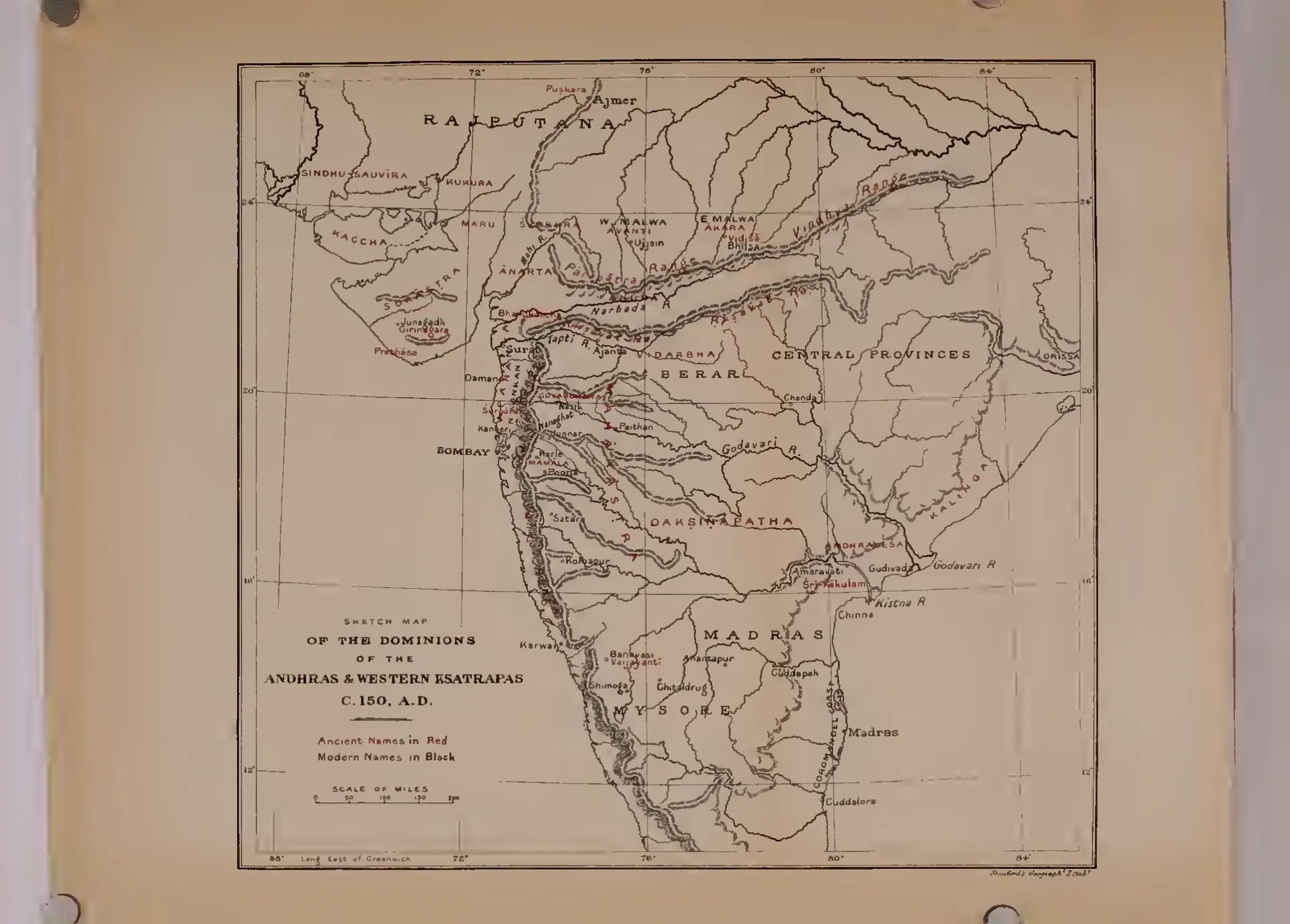
"Sketch map of the dominions of the Andhras & Western Ksatrapas, c. 150 A.D." (Rapson 1908, map)
- Type
- Map
- Creator
- E. J. Rapson (British Museum; engraved by Stanford's Geographical Establishment)
- Date
- 1908
- Licence
- Public domain
- From
- E. J. Rapson, Catalogue of the Coins of the Andhra Dynasty, the Western Ksatrapas, the Traikutaka Dynasty, and the 'Bodhi' Dynasty (Catalogue of the Indian Coins in the British Museum) (opens in a new tab), 1908, map (PDF p. 214)
- Original
- archive.org (opens in a new tab)
- Appears in
- Mauryas & Satavahanas, Satavahanas, Amaravati & Dharanikota