A new site, built from published sources. Spotted a mistake? Please tell us

"Southern India c. 1650": map in the Source Book of Maratha History (1928), facing p. 176
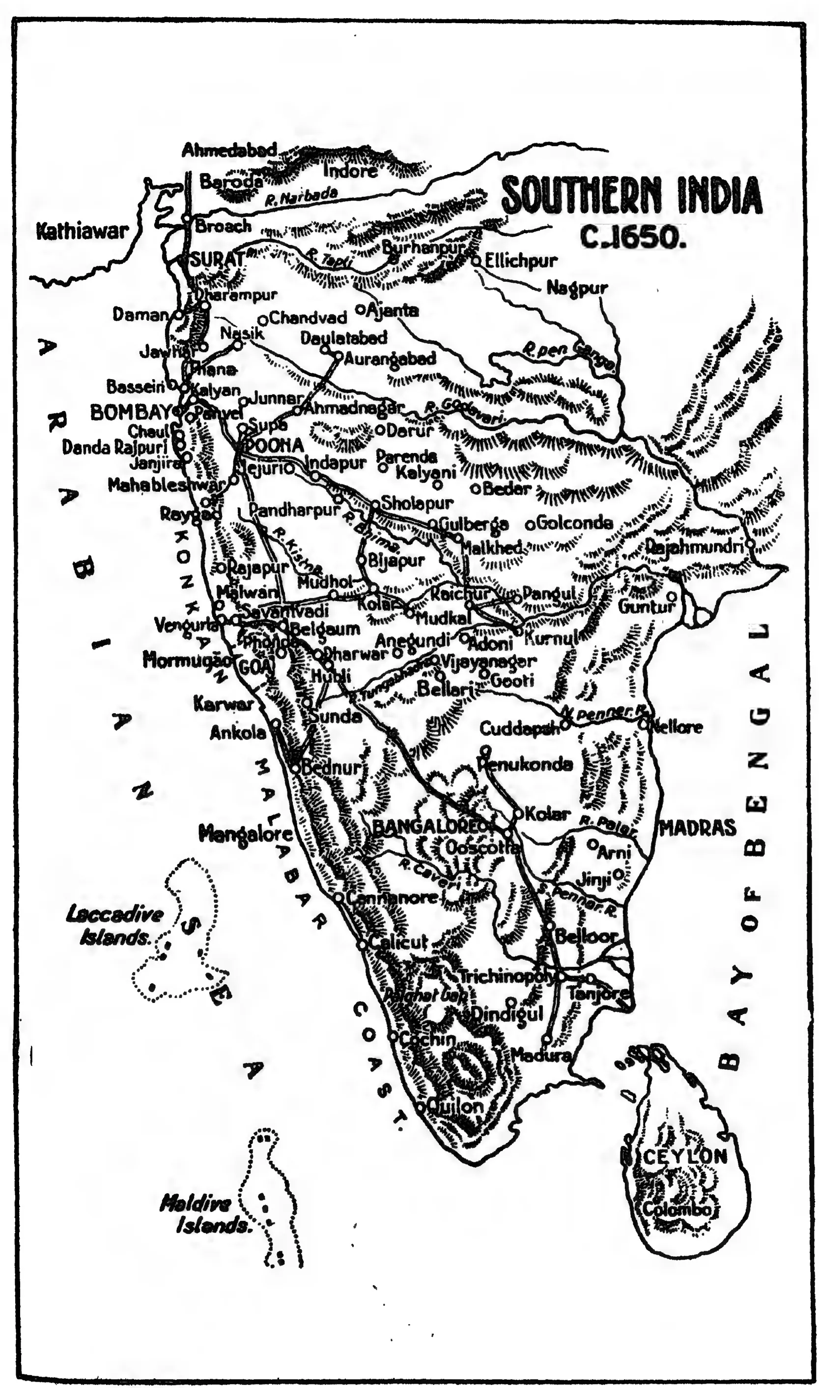
Black-and-white line map of peninsular India and Ceylon with rivers, hills and towns, including Golconda, Kurnul, Adoni, Gooti, Penukonda, Cuddapah, Guntur and Rajahmundri, titled Southern India c. 1650.
Type
Map
Creator
R. P. Patwardhan and H. G. Rawlinson (eds.), Source Book of Maratha History (Government of Bombay)
Date
1928
Licence
Public domain
From
R. P. Patwardhan and H. G. Rawlinson (eds.), Source Book of Maratha History, Vol. I (to the death of Shivaji) (opens in a new tab), 1928, map facing p. 176 (PDF p. 204)
Original
archive.org (opens in a new tab)
Appears in
Vijayanagara & the Qutb Shahis, Marathas and the Telugu country, Shivaji, Shahji Bhonsle