ప్రచురితమైన ఆధారాలతో నిర్మించిన కొత్త సైట్. ఏదైనా పొరపాటు కనిపించిందా? మాకు తెలియజేయండి

"De Koninkryken van Golconda, Tanassari, Pegu en Aracam, aan de Golf van Bengale", map published by Pieter van der Aa, Leiden, 1706
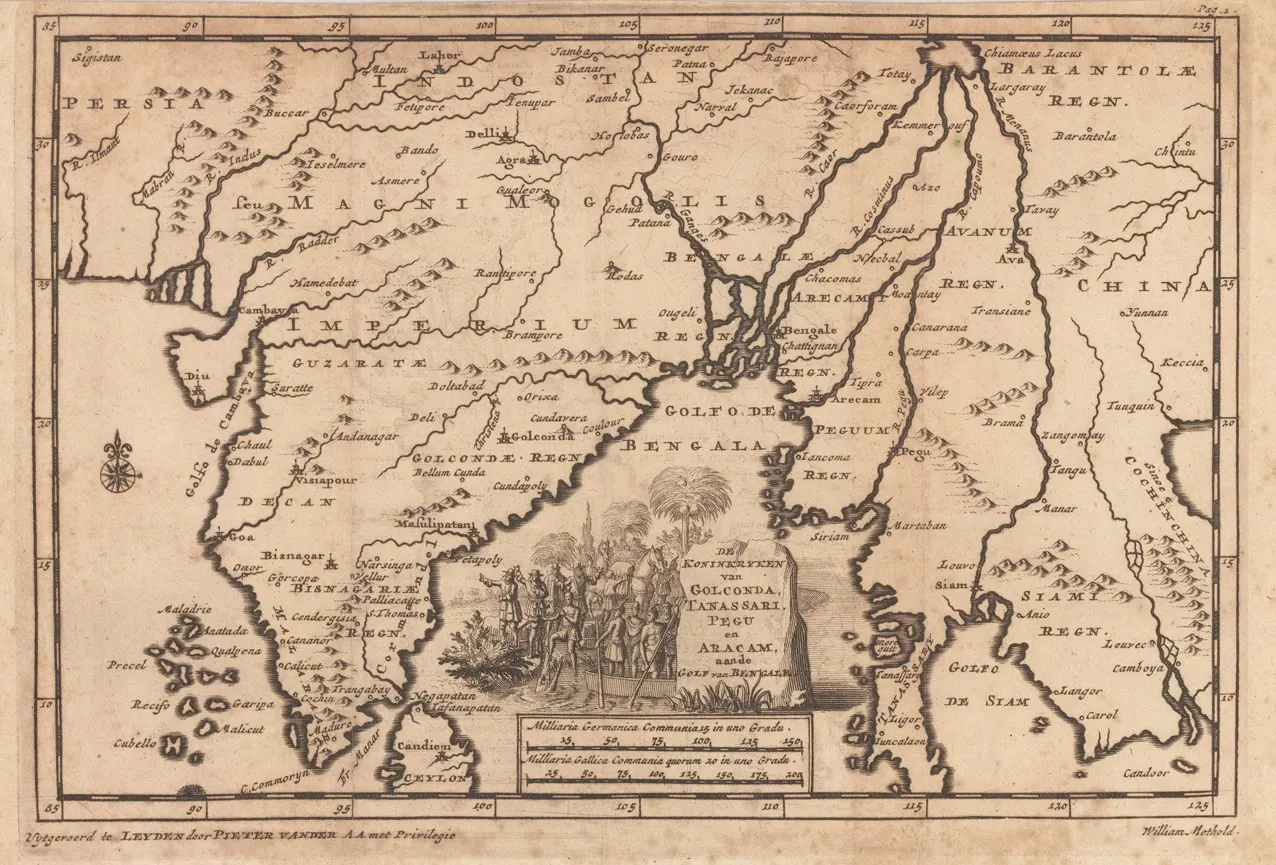
Old engraved map of the Bay of Bengal with the kingdom of Golconda on the western shore, rivers and towns marked, and a decorative cartouche in the lower part.
రకం
పటం
సృష్టికర్త
Pieter van der Aa (publisher), Leiden, via Wikimedia Commons
తేదీ
1706
లైసెన్సు
Public domain
మూలం
commons.wikimedia.org (opens in a new tab)
కనిపించే పేజీలు
విజయనగరం, కుతుబ్ షాహీలు, కుతుబ్ షాహీలు, గోల్కొండ, మచిలీపట్నం, వ్యాపారం, ఆర్థిక వ్యవస్థ