Plan of Pedapalakaluru village drawn by the editor from the boundaries given in the grant of Anavema Reddi (Ramesan 1962, Text Figure I, PDF p. 246)
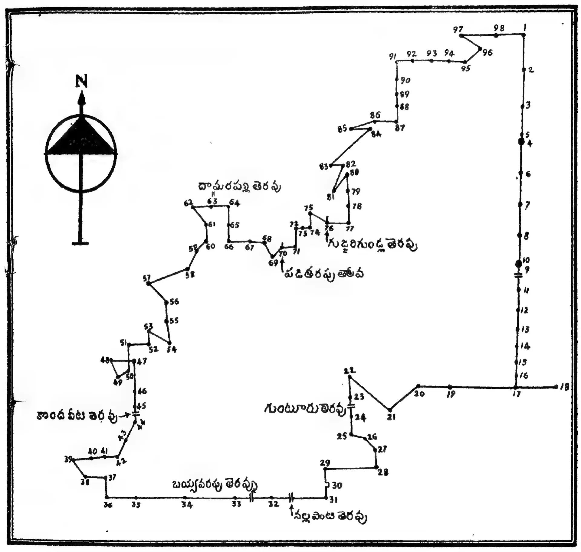 Line drawing in a frame: an irregular boundary traced through numbered points, with Telugu place labels along it and a north arrow at the upper left.
- రకం
- పటం
- సృష్టికర్త
- N. Ramesan, Copper Plate Inscriptions of Andhra Pradesh Government Museum, Hyderabad, Vol. I (Government of Andhra Pradesh, 1962)
- తేదీ
- 1962
- లైసెన్సు
- Public domain in India