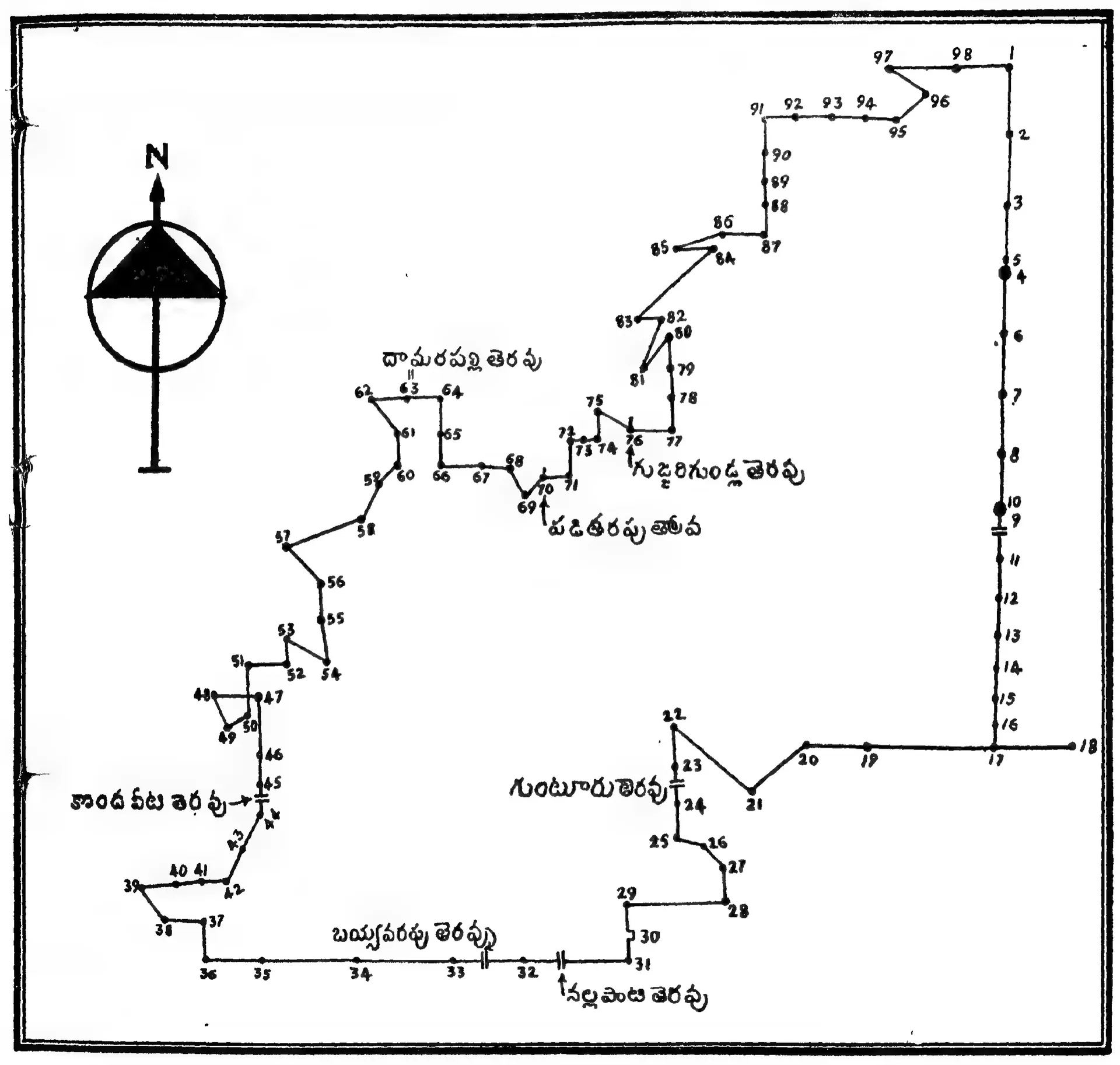
Plan of Pedapalakaluru village drawn by the editor from the boundaries given in the grant of Anavema Reddi (Ramesan 1962, Text Figure I, PDF p. 246)
- Type
- Map
- Creator
- N. Ramesan, Copper Plate Inscriptions of Andhra Pradesh Government Museum, Hyderabad, Vol. I (Government of Andhra Pradesh, 1962)
- Date
- 1962
- Licence
- Public domain in India
- From
- N. Ramesan, Copper Plate Inscriptions of Andhra Pradesh Government Museum, Hyderabad, Vol. I (Andhra Pradesh Government Archaeological Series No. 6) (opens in a new tab), 1962, Text Figure I (PDF p. 246); text pp. 185-207 (Chapter XVII)
- Original
- archive.org (opens in a new tab)