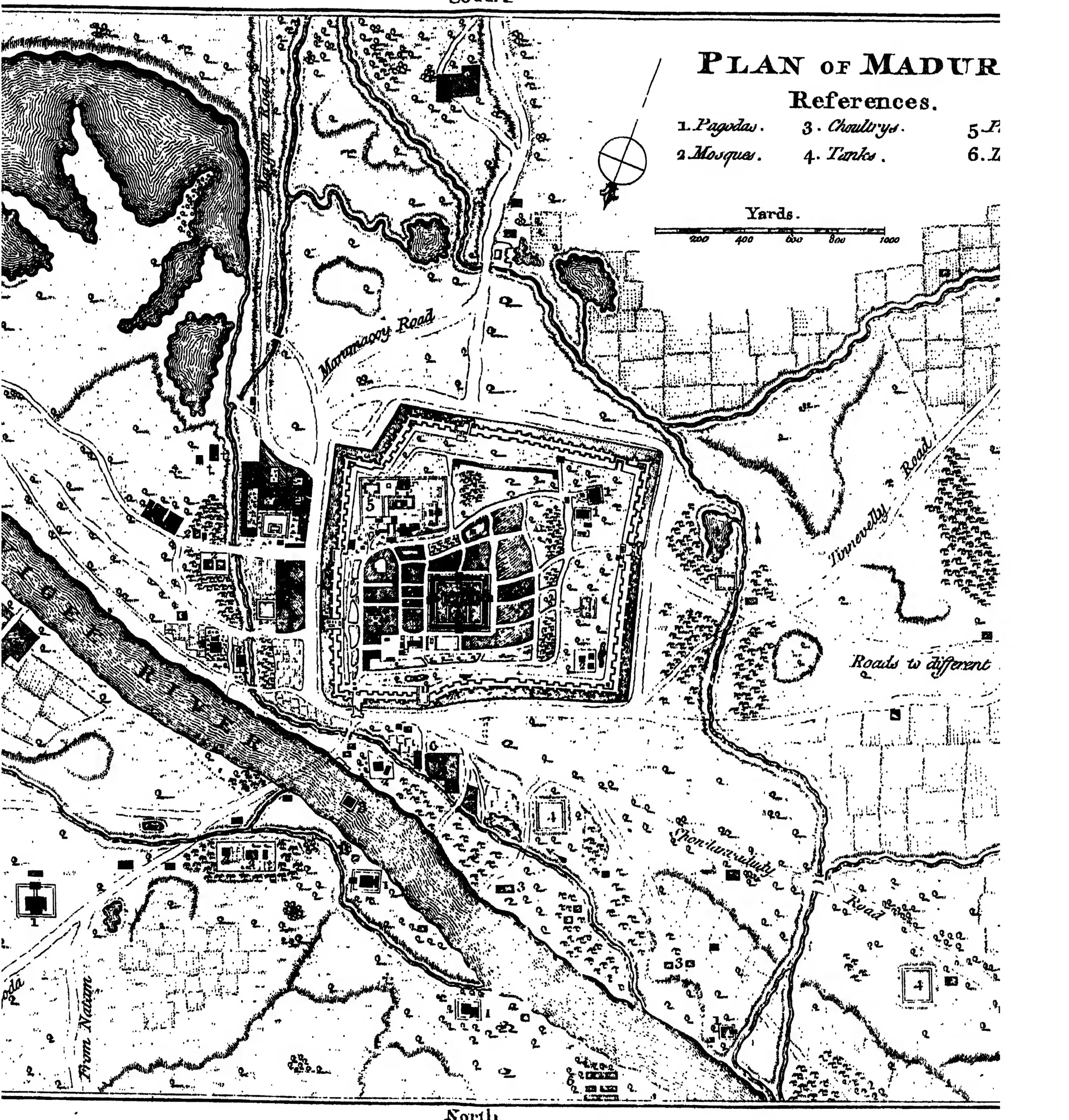
"Plan of Madura in 1757": Madurai, the old Nayaka capital, about twenty years after Nayaka rule ended, with its walls, moat, temple and palace (Madura District Gazetteer, 1906, PDF p. 289)

Engraved plan of a walled and moated town beside a river, with a large temple in the centre, tanks, roads and fields around it; the title and a key are at the upper right, partly cut off at the edge.
Type
Plan
Creator
W. Francis, Madras District Gazetteers: Madura, 1906 (the plan is signed "Thos. Jefferys sculp.")
Date
1906
Licence
Public domain
From
W. Francis, Madras District Gazetteers: Madura, Vol. I (opens in a new tab), 1906, plan of Madura in 1757 (PDF p. 289; the full title and engraver's name are on the other scan of the sheet, PDF p. 291)
Original
archive.org (opens in a new tab)
Appears in
Vijayanagara & the Qutb Shahis, The Nayaka kingdoms of the South, Forts & warfare