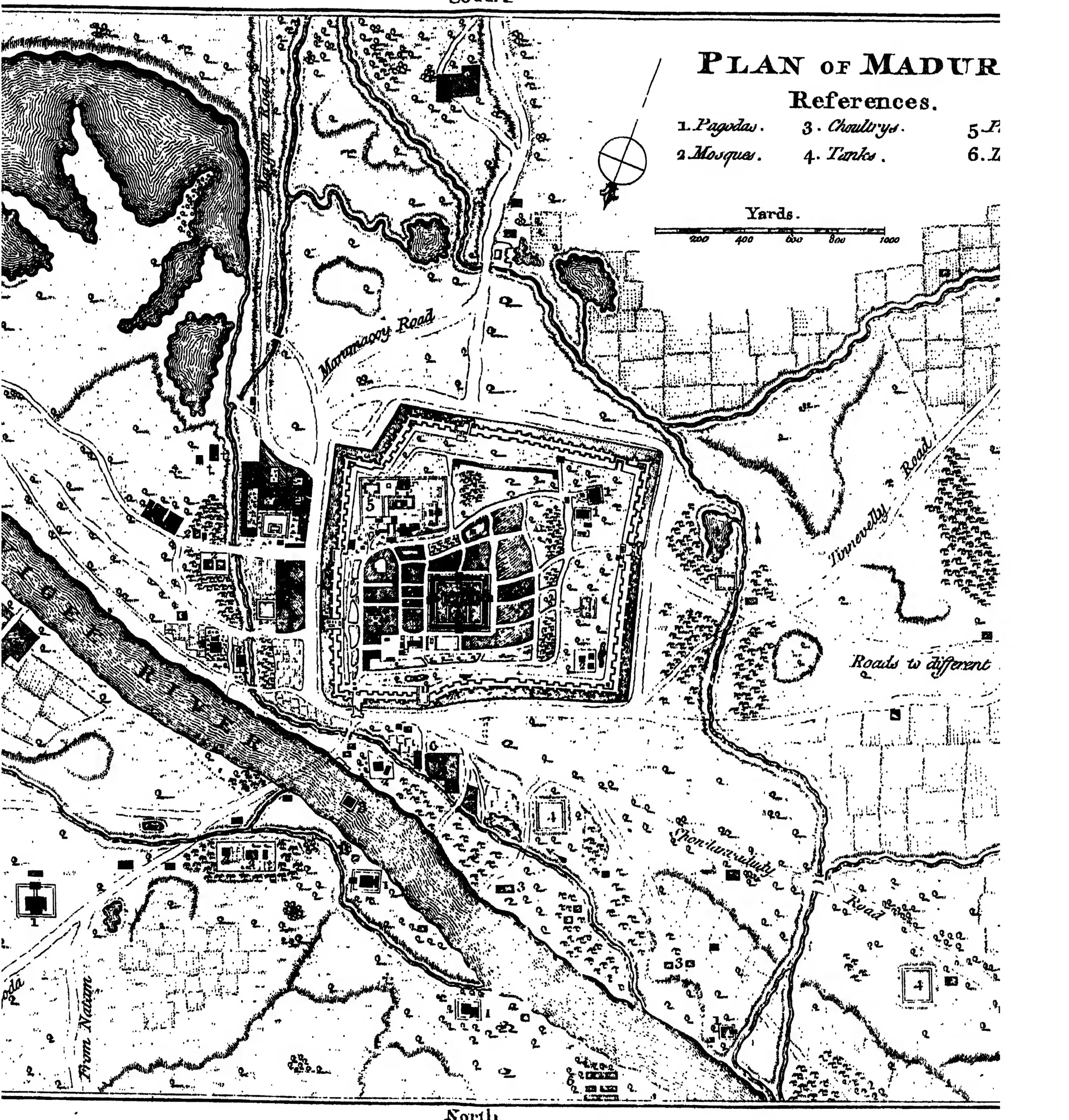
1757 నాటి మదురై నగర పటం: నాయకుల పాలన ముగిసిన సుమారు ఇరవై ఏళ్ల తర్వాత పాత నాయకుల రాజధాని, దాని ప్రాకారాలు, అగడ్త, ఆలయం, రాజభవనం (మదురై జిల్లా గెజిటీర్, 1906)

Engraved plan of a walled and moated town beside a river, with a large temple in the centre, tanks, roads and fields around it; the title and a key are at the upper right, partly cut off at the edge.
రకం
నిర్మాణ నక్షా
సృష్టికర్త
W. Francis, Madras District Gazetteers: Madura, 1906 (the plan is signed "Thos. Jefferys sculp.")
తేదీ
1906
లైసెన్సు
Public domain
మూలం
W. Francis, Madras District Gazetteers: Madura, Vol. I (opens in a new tab), 1906, plan of Madura in 1757 (PDF p. 289; the full title and engraver's name are on the other scan of the sheet, PDF p. 291)
మూలం
archive.org (opens in a new tab)
కనిపించే పేజీలు
విజయనగరం, కుతుబ్ షాహీలు, దక్షిణాది నాయక రాజ్యాలు, కోటలు, యుద్ధాలు