A new site, built from published sources. Spotted a mistake? Please tell us

"S. India, General Political Position, Period A.D. 1336-1570" (Sewell 1900, to face p. 1 (PDF p. 38))
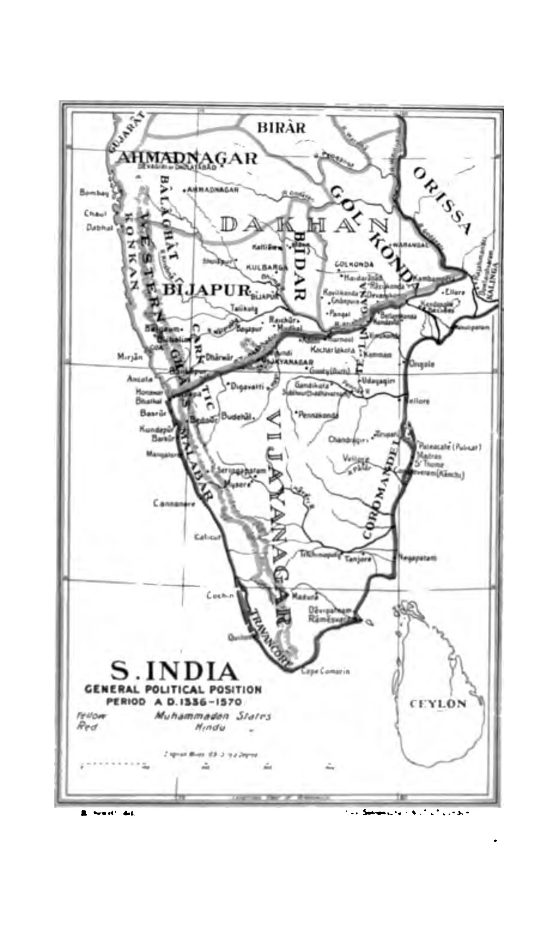
Map of southern India showing Ahmadnagar, Bijapur, Golkonda, Bidar and Berar in the Dakhan and the Vijayanagar empire to the south, with Orissa on the north-east and Ceylon.
Type
Map
Creator
Robert Sewell
Date
1900
Licence
Public domain
From
Robert Sewell, A Forgotten Empire (Vijayanagar): A Contribution to the History of India (opens in a new tab), 1900, to face p. 1 (PDF p. 38)
Original
archive.org (opens in a new tab)
Appears in
Vijayanagara & the Qutb Shahis, Bahmanis, Vijayanagara Empire, Adil Shahis of Bijapur, Golconda, Bijapur (Vijayapura)