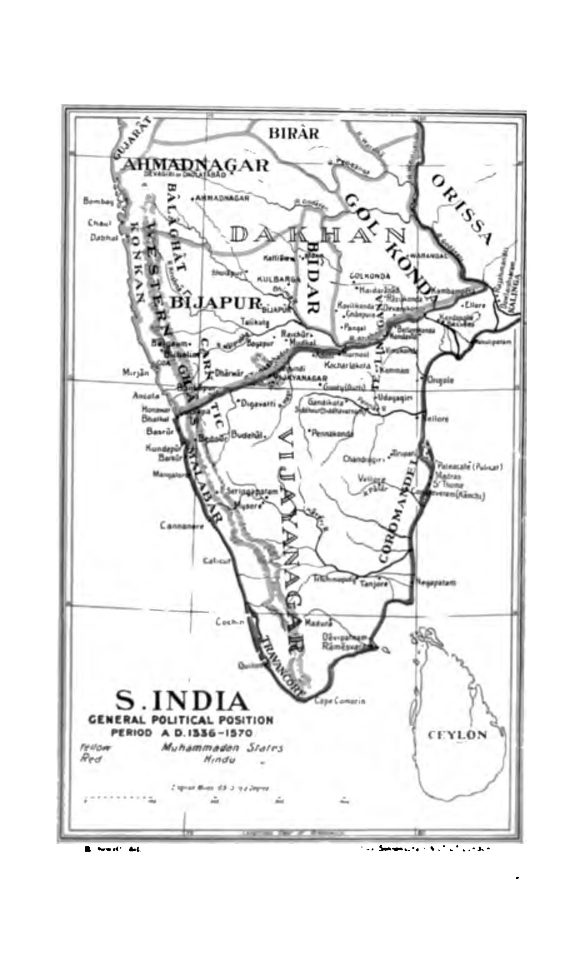
"S. India, General Political Position, Period A.D. 1336-1570" (Sewell 1900, to face p. 1 (PDF p. 38))
- రకం
- పటం
- సృష్టికర్త
- Robert Sewell
- తేదీ
- 1900
- లైసెన్సు
- Public domain
- మూలం
- Robert Sewell, A Forgotten Empire (Vijayanagar): A Contribution to the History of India (opens in a new tab), 1900, to face p. 1 (PDF p. 38)
- కనిపించే పేజీలు
- విజయనగరం, కుతుబ్ షాహీలు, బహమనీలు, విజయనగర సామ్రాజ్యం, బీజాపూర్ ఆదిల్ షాహీలు, గోల్కొండ, బీజాపూర్ (విజయపుర)