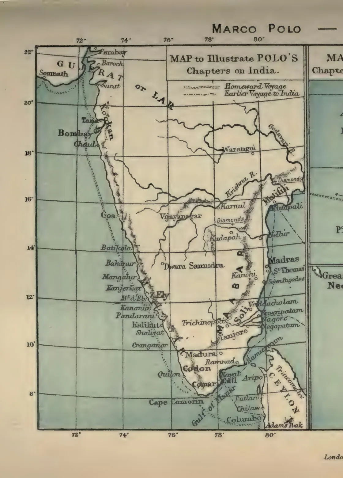
"Map to illustrate Polo's chapters on India" (Marco Polo, Book III) (Yule & Cordier 1903, to face p. 312 (PDF p. 363, lower part))
- Type
- Map
- Creator
- Henry Yule and Henri Cordier (eds.)
- Date
- 1903
- Licence
- Public domain
- From
- Henry Yule and Henri Cordier (eds.), The Book of Ser Marco Polo the Venetian, Vol. II (3rd ed.) (opens in a new tab), 1903, to face p. 312 (PDF p. 363, lower part)
- Original
- archive.org (opens in a new tab)
- Appears in
- Kakatiyas, Motupalli, Warangal, Trade & economy