ప్రచురితమైన ఆధారాలతో నిర్మించిన కొత్త సైట్. ఏదైనా పొరపాటు కనిపించిందా? మాకు తెలియజేయండి

The Deccan in James Rennell's "Map of Hindoostan, or the Mogul Empire" (London, 1788): detail with Golconda, Telingana, Visiapour, Adoni, Dowlatabad, Berar and the Circars
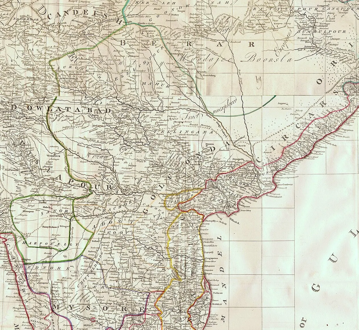
Detail of an engraved 18th-century map of the Deccan with hand-coloured boundary lines, showing the regions Golconda, Telingana, Visiapour and the Circars along the Bay of Bengal coast.
రకం
పటం
సృష్టికర్త
James Rennell, via Wikimedia Commons (scan from pahar.in)
తేదీ
1788
లైసెన్సు
Public domain
మూలం
commons.wikimedia.org (opens in a new tab)
కనిపించే పేజీలు
మొఘలులు, అసఫ్ జాహీలు, బ్రిటిష్ పాలన, తెలుగు దేశంలో మొఘలులు, బీజాపూర్ ఆదిల్ షాహీలు, మరాఠాలు, తెలుగు దేశం, బీజాపూర్ (విజయపుర), ఆదోని