A new site, built from published sources. Spotted a mistake? Please tell us

"Godavari Delta" map, with navigable canals, channels, drains and river embankments (Hemingway 1907, PDF p. 97)
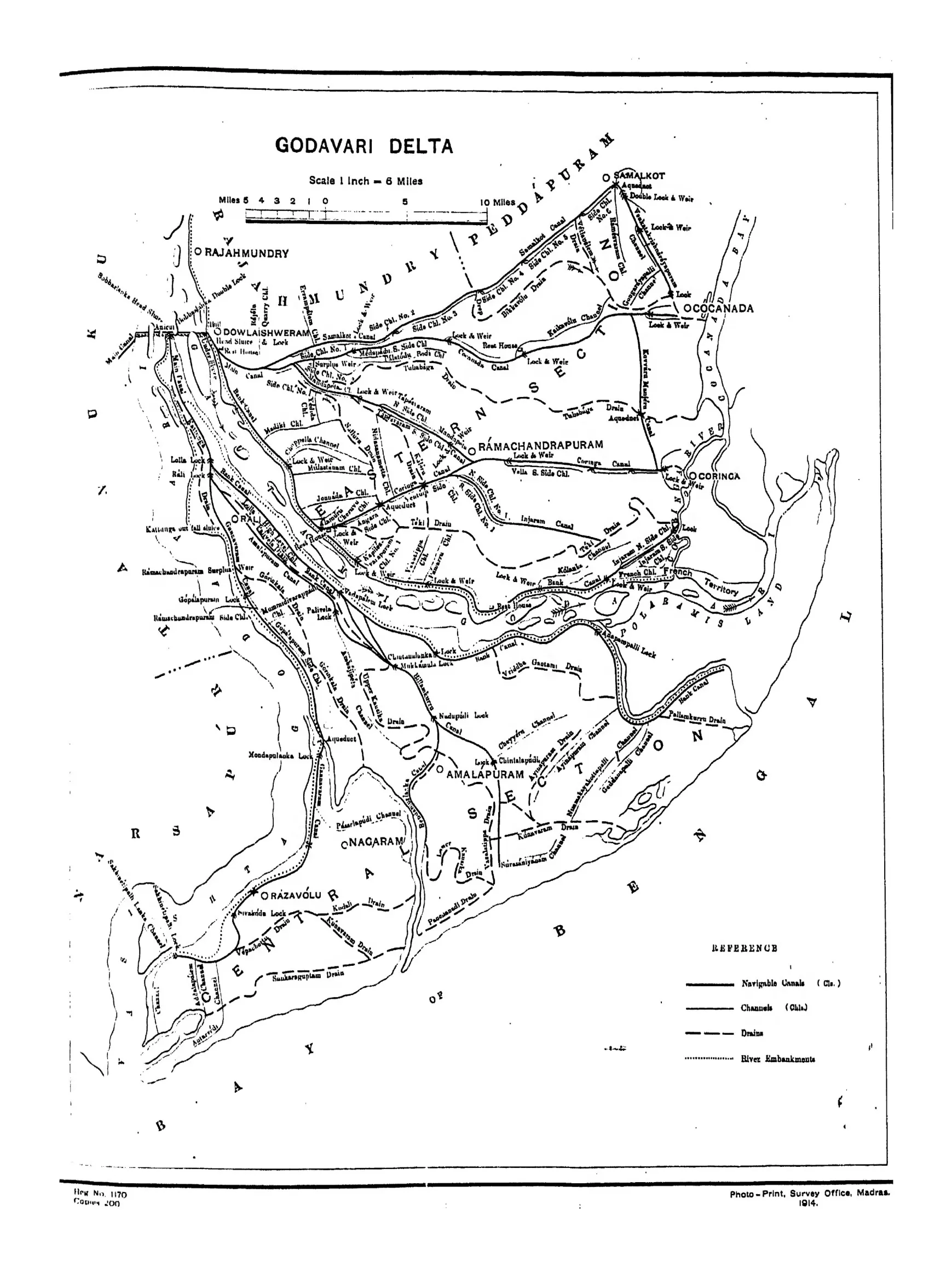
Map of the Godavari delta from Rajahmundry and Dowlaishweram to the sea, showing navigable canals, channels, drains and river embankments, with Cocanada, Ramachandrapuram, Amalapuram, Nagaram and Razavolu.
Type
Map
Creator
F. R. Hemingway (Madras District Gazetteers)
Date
1907
Licence
Public domain
From
F. R. Hemingway, Madras District Gazetteers: Godavari, Vol. I (opens in a new tab), 1907, PDF p. 97
Original
archive.org (opens in a new tab)
Appears in
Mughals, Asaf Jahis & the British, British Crown (Madras Presidency), Sir Arthur Cotton, Rajahmundry, Kakinada, Dowleswaram anicut