A new site, built from published sources. Spotted a mistake? Please tell us

James Rennell, "The Peninsula of India, from the Khrishnah River to Cape Comorin" (London, 1788), British Library Maps K.Top.115.65.1: the Mahrattas, Visiapour, Adoni, Gooty, Golconda and the Circars
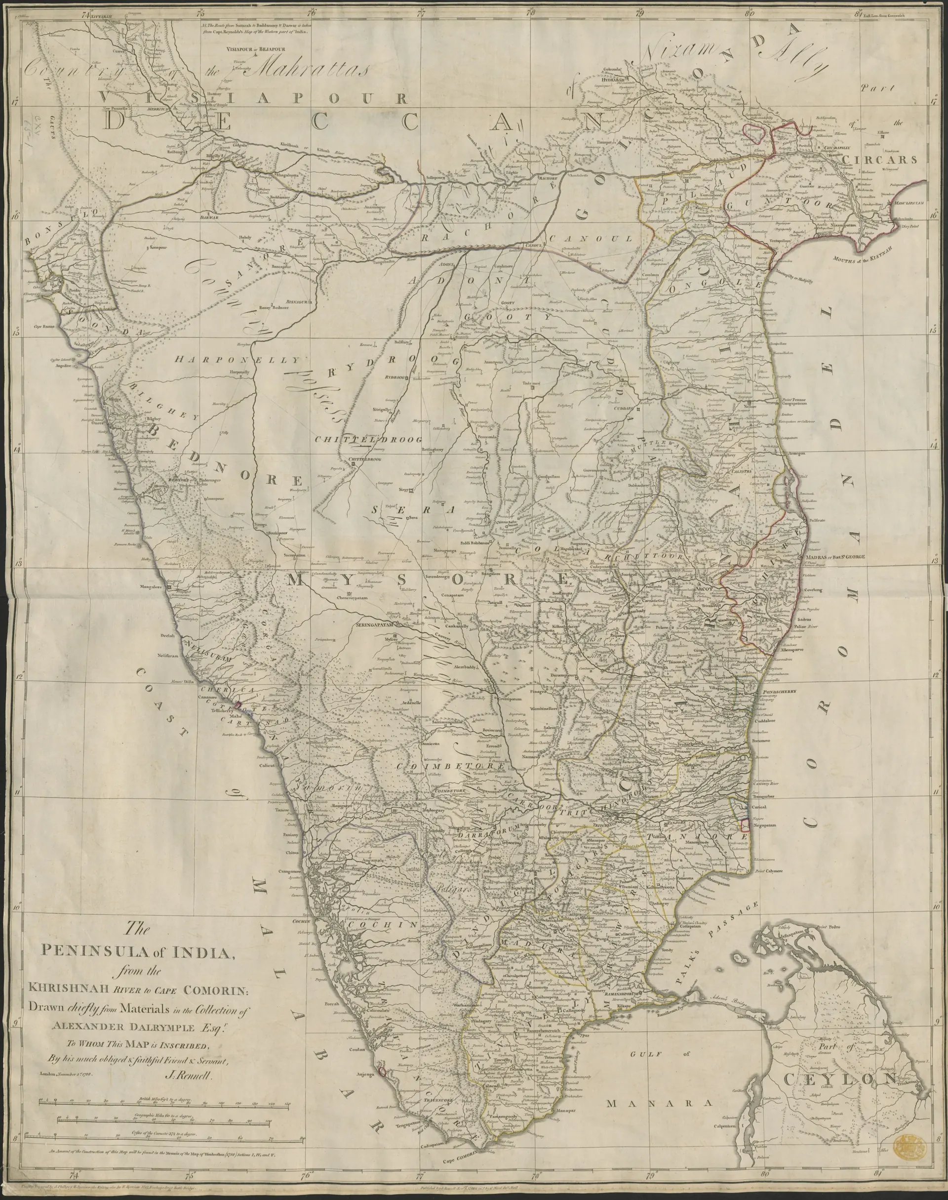
Engraved 18th-century map of southern India from the Krishna to Cape Comorin, with region names such as Mahrattas, Visiapour, Golconda, Mysore and the Circars and a decorative title at lower left.
Type
Map
Creator
James Rennell (British Library), via Wikimedia Commons
Date
1788
Licence
No known copyright restrictions (British Library)
Original
commons.wikimedia.org (opens in a new tab)
Appears in
Mughals, Asaf Jahis & the British, Marathas and the Telugu country, Mysore under Haidar Ali and Tipu Sultan, Morari Rao of Gooty, Gurramkonda, Gooty, Adoni