Nizamabad
Town in north-western Telangana, formerly Indur, head of the district renamed Nizamabad in 1905. The Imperial Gazetteer of 1909 describes the Indur fort turned into a Central Jail, the railway to Manmad, rice and silk, and a revenue survey finished in 1898. The great Nizam Sagar irrigation scheme, finished in 1931, watered the Bodhan, Nizamabad, Armur and Yellareddy taluks.
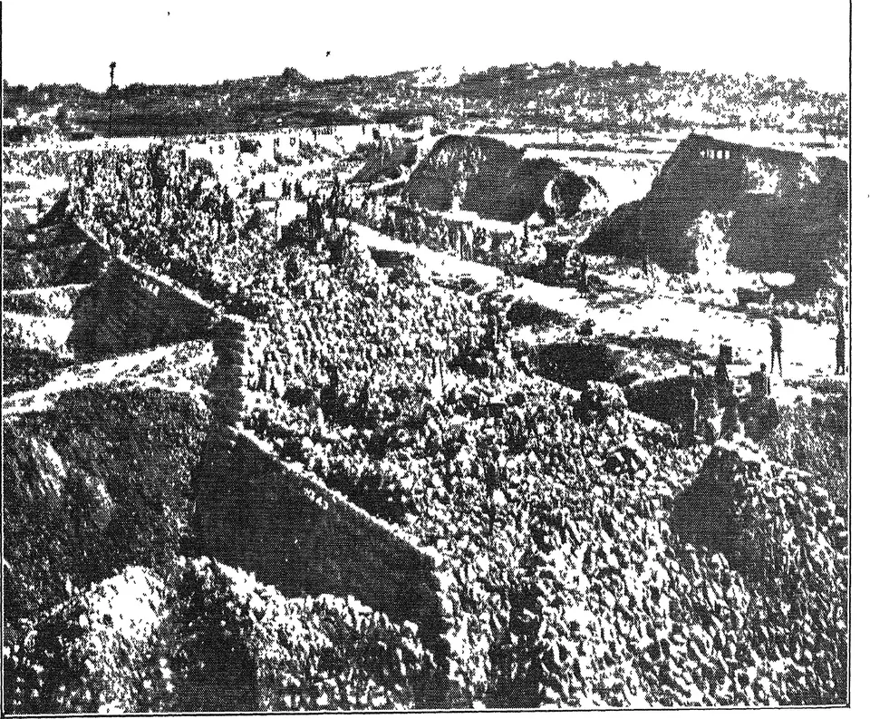
Nizamabad is a town in north-western Telangana. It was formerly called Indur, and so was its district until 1905.12 In the twentieth century the Nizam Sagar dam and its canals were built in the district.3
The town
The Imperial Gazetteer of India volume on Hyderabad (1909) gives the town 12,871 people in 1901.2 It lay on the Hyderabad-Godavari Valley Railway.2 The town had the offices of the district, a court, a school, a dispensary and a Central Jail.2
The jail stood in the old fort of Indur, south-west of the town.4 The gazetteer says the fort was first a fortified temple built by Raghunath Das, who also made the tank that gave the town its water.2 The Central Jail took prisoners with long sentences from Medak, Mahbubnagar, Bidar and Adilabad (then Sirpur Tandur).5 Its convicts wove cloth, carpets and khaki, and ran a printing press.5 The town’s water supply was first a gift from the Rani of Sirnapalli.2
The north-eastern quarter, Kanteshwar, held a rice mill, cotton gins and an American mission.2 A Methodist mission began there in 1890.6
The district in 1909
Before 1905, Indur district had 634,588 people.4 The gazetteer blames the famine of 1899–1900 for the fall in numbers since 1891.4 About 78 per cent of the people spoke Telugu.4
Rice was grown on land watered by 635 large tanks and many smaller ones.7 Weavers at Armur made silk saris.7 Painters at Nirmal and Bimgal decorated palanquins, toys and playing cards.7 Sword blades of Konasamudram steel were once famous.7
The Hyderabad-Godavari Valley Railway crossed the district for 80 miles, with ten stations.8 The old road from Hyderabad to Nagpur crossed it for 84 miles.8
Revenue
The gazetteer says little is known of the district’s early revenue history.9 Villages were let out to revenue farmers, who were allowed 10 per cent for collection.9 In 1866, when the state was divided into districts and taluks, payment in kind was changed to cash.9 A survey was finished in 1898.9 It found 216 square miles more land in the farmers’ holdings than the old accounts showed.9 The new settlement raised the revenue by 5 per cent.9 From 1899 a cess (extra tax) of one anna in each rupee paid for local boards.95
From Indur to Nizamabad, 1905
In 1905 the state redrew its districts.4 Nirmal and Narsapur taluks went to the new Adilabad district.4 Mudhol and part of Banswada went to Nander.4 The district in its new shape was named Nizamabad.4 It had five taluks: Nizamabad, Bodhan, Armur, Kamareddy (then Kamareddipet) and Yellareddy (then Yellareddipet).10 More than 78 per cent of its 467,367 people spoke Telugu.10
Nizamabad first belonged to the Medak Gulshanabad Division.1 When the four subas (divisions) were set up again in 1929, it moved to the Warangal suba.11
The Nizam Sagar
For the census of 1931, Bodhan taluk and some villages of Yellareddy had been made into a separate Nizam Sagar district for a time.12 This was to develop the land under the new dam.12 The census describes the Nizam Sagar scheme as just completed, at a cost of 426 lakhs of rupees.3 Its canals were designed to water 275,000 acres in the Yellareddy, Bodhan, Nizamabad and Armur taluks.3 In 1932–33 a tahsil (revenue sub-division) was set up at Banswada for five years to develop the area under the project.13 See Nizam Sagar and Bodhan.
The census of 1931 also records that Nizamabad and Adilabad districts saw the most new road building in the decade.14 Nizamabad gained 192 miles of new metalled roads.14
Footnotes
-
Imperial Gazetteer of India: Hyderabad State (1909), p. 122 (archive.org (opens in a new tab)). ↩ ↩2
-
Imperial Gazetteer: Hyderabad (1909), p. 132 (archive.org (opens in a new tab)). ↩ ↩2 ↩3 ↩4 ↩5 ↩6 ↩7
-
Census of India 1931, Vol. XXIII, Part I (1933), p. 24 (archive.org (opens in a new tab)). ↩ ↩2 ↩3
-
Imperial Gazetteer: Hyderabad (1909), p. 124 (archive.org (opens in a new tab)). ↩ ↩2 ↩3 ↩4 ↩5 ↩6 ↩7 ↩8
-
Imperial Gazetteer: Hyderabad (1909), p. 129 (archive.org (opens in a new tab)). ↩ ↩2 ↩3
-
Imperial Gazetteer: Hyderabad (1909), p. 125 (archive.org (opens in a new tab)). ↩
-
Imperial Gazetteer: Hyderabad (1909), p. 126 (archive.org (opens in a new tab)). ↩ ↩2 ↩3 ↩4
-
Imperial Gazetteer: Hyderabad (1909), p. 127 (archive.org (opens in a new tab)). ↩ ↩2
-
Imperial Gazetteer: Hyderabad (1909), p. 128 (archive.org (opens in a new tab)). ↩ ↩2 ↩3 ↩4 ↩5 ↩6 ↩7
-
Imperial Gazetteer: Hyderabad (1909), p. 123 (archive.org (opens in a new tab)). ↩ ↩2
-
Census of India 1931, Vol. XXIII: H.E.H. the Nizam’s Dominions, Part I: Report (1933), p. 1 (archive.org (opens in a new tab)). ↩
-
Census of India 1931, Vol. XXIII, Part I (1933), p. 2 (archive.org (opens in a new tab)). ↩ ↩2
-
Report on the Administration of H.E.H. the Nizam’s Dominions for 1342 Fasli (1932–33) (1935), p. 2 (archive.org (opens in a new tab)). ↩
-
Census of India 1931, Vol. XXIII, Part I (1933), p. 29 (archive.org (opens in a new tab)). ↩ ↩2
Photos
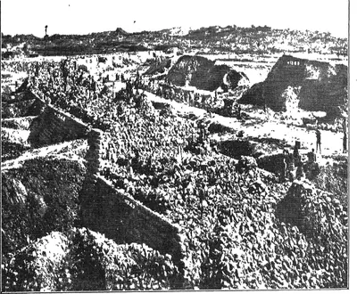 "Another view of Nizam Sagar main dam" (Mudiraj, Pictorial Hyderabad, 1929, p. 98)Historic photograph · 1929
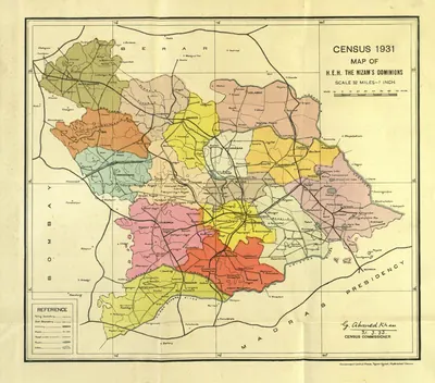 "Census 1931 Map of H.E.H. the Nizam's Dominions" (coloured) (Census of India 1931, Hyderabad, folding map, PDF p. 3)Map · 1933
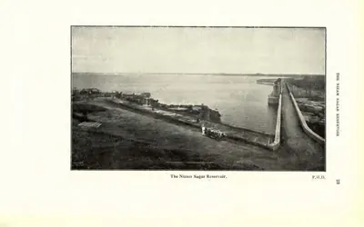 "The Nizam Sagar Reservoir" (P.W.D.) (Census of India 1931, Hyderabad, printed p. 23 (PDF p. 42))Historic photograph · 1933
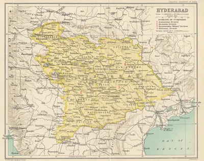 Hyderabad State (Imperial Gazetteer, 1909)Map · 1909
Related
Monuments
References
Notes (0)
Sources (3)
Spotted an error on this page? Tell us
Last updated: