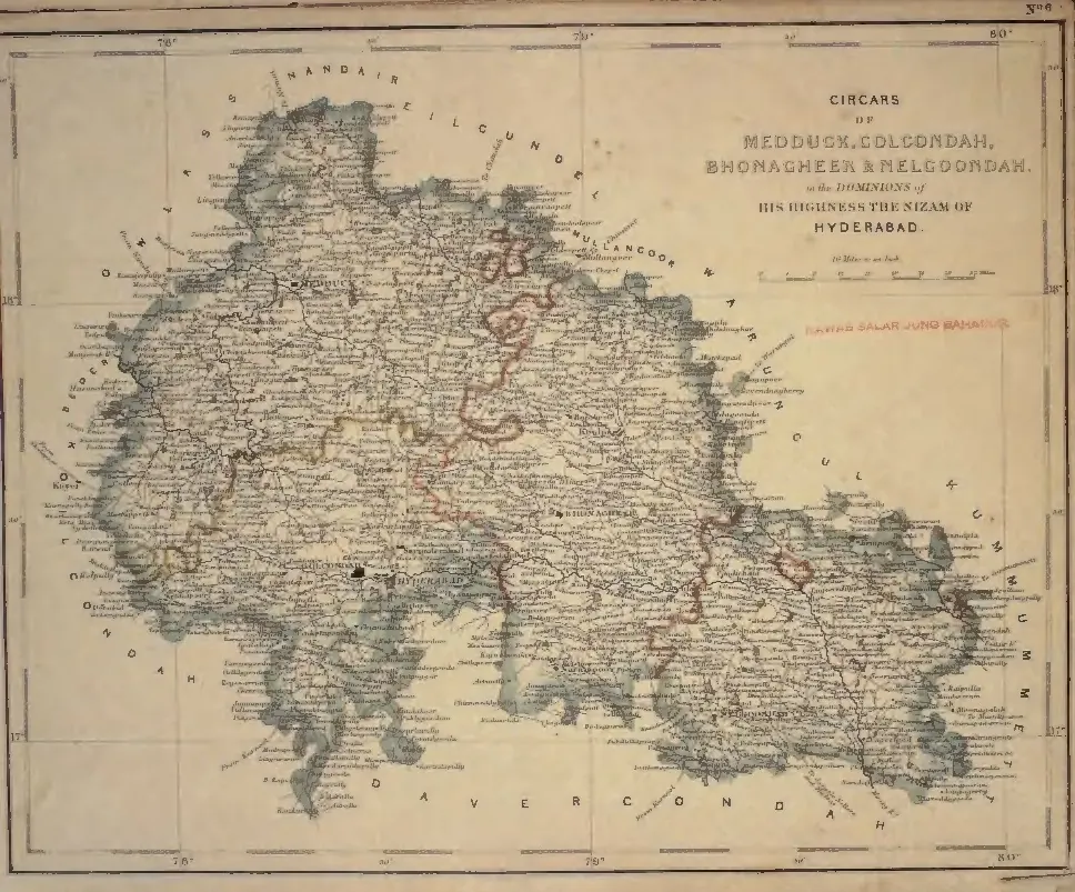
"Circars of Medduck, Golcondah, Bhonagheer & Nelgoondah, in the Dominions of His Highness the Nizam of Hyderabad" (map No. 6, atlas presented to the Nizam, 1865), with Hyderabad and Golconda marked; Bhonagheer is Bhongir (identification ours)
- రకం
- పటం
- సృష్టికర్త
- S. Veeraragavooloo Naidoo (presenter), atlas of the Circars of the Nizam's Dominions, Arcot, 1865
- తేదీ
- 1865
- లైసెన్సు
- Public domain
- మూలం
- S. Veeraragavooloo Naidoo, Atlas of the Circars of the Dominions of His Highness the Nizam of Hyderabad, presented to Afzal-ud-Daula (opens in a new tab), 1865, map No. 6 (PDF p. 8)
- కనిపించే పేజీలు
- మొఘలులు, అసఫ్ జాహీలు, బ్రిటిష్ పాలన, అసఫ్ జాహీలు (నిజాములు), హైదరాబాద్, గోల్కొండ, భువనగిరి, మెదక్, నల్గొండ