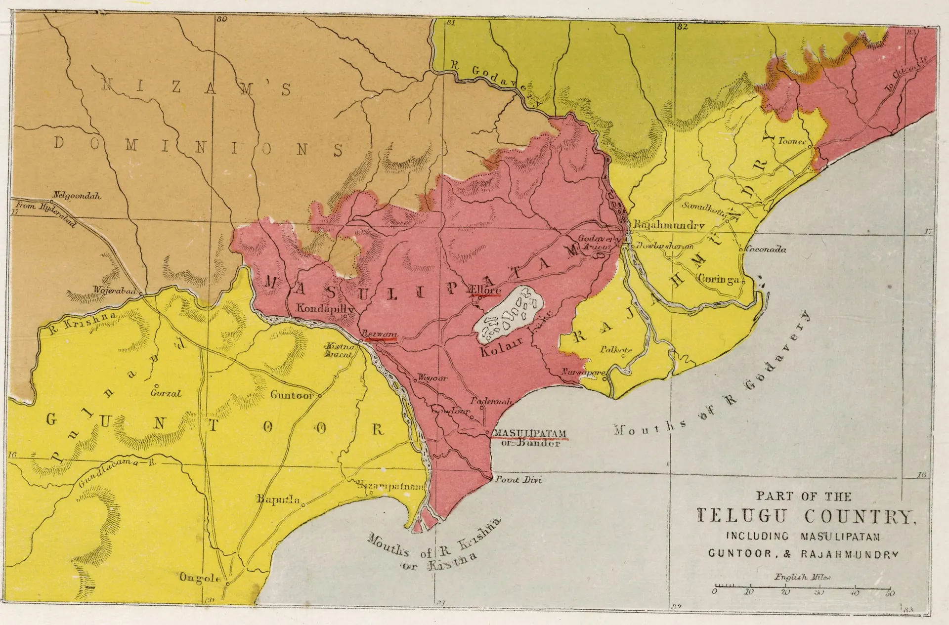
"Part of the Telugu Country, including Masulipatam, Guntoor, & Rajahmundry", map from the Church Missionary Atlas, 3rd edition, London, 1862 (cropped to the map)
- రకం
- పటం
- సృష్టికర్త
- Church Missionary Society (Seeley, Jackson and Halliday, London); scan David Rumsey Map Collection via Internet Archive
- తేదీ
- 1862
- లైసెన్సు
- Public domain