A new site, built from published sources. Spotted a mistake? Please tell us

"Part of the Telugu Country, including Masulipatam, Guntoor, & Rajahmundry", map from the Church Missionary Atlas, 3rd edition, London, 1862 (cropped to the map)
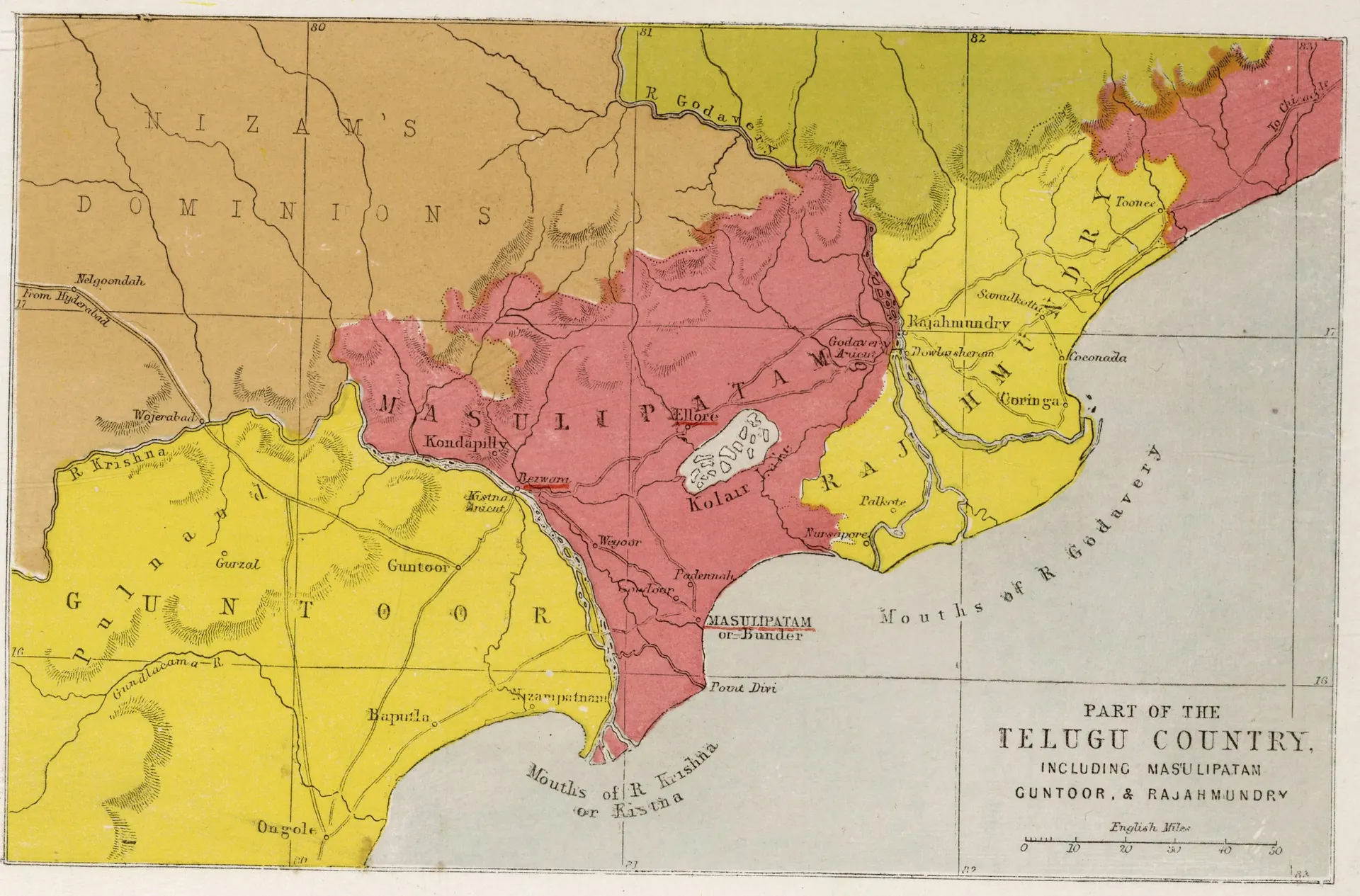
Coloured map of the coastal Telugu country between the Krishna and Godavari rivers, with districts tinted yellow, pink and brown, towns such as Kondapilly, Rajahmundry, Guntoor, Masulipatam and Ongole marked, and hachured hills.
Type
Map
Creator
Church Missionary Society (Seeley, Jackson and Halliday, London); scan David Rumsey Map Collection via Internet Archive
Date
1862
Licence
Public domain
Original
commons.wikimedia.org (opens in a new tab)
Appears in
Mughals, Asaf Jahis & the British, Reddis of Kondaveedu, East India Company, British Crown (Madras Presidency), Rajahmundry, Kondapalli, Machilipatnam, Guntur (Murtazanagar)