A new site, built from published sources. Spotted a mistake? Please tell us

"Map of the Kistna District" (folding map) (Mackenzie 1883, folding map, PDF p. 1)
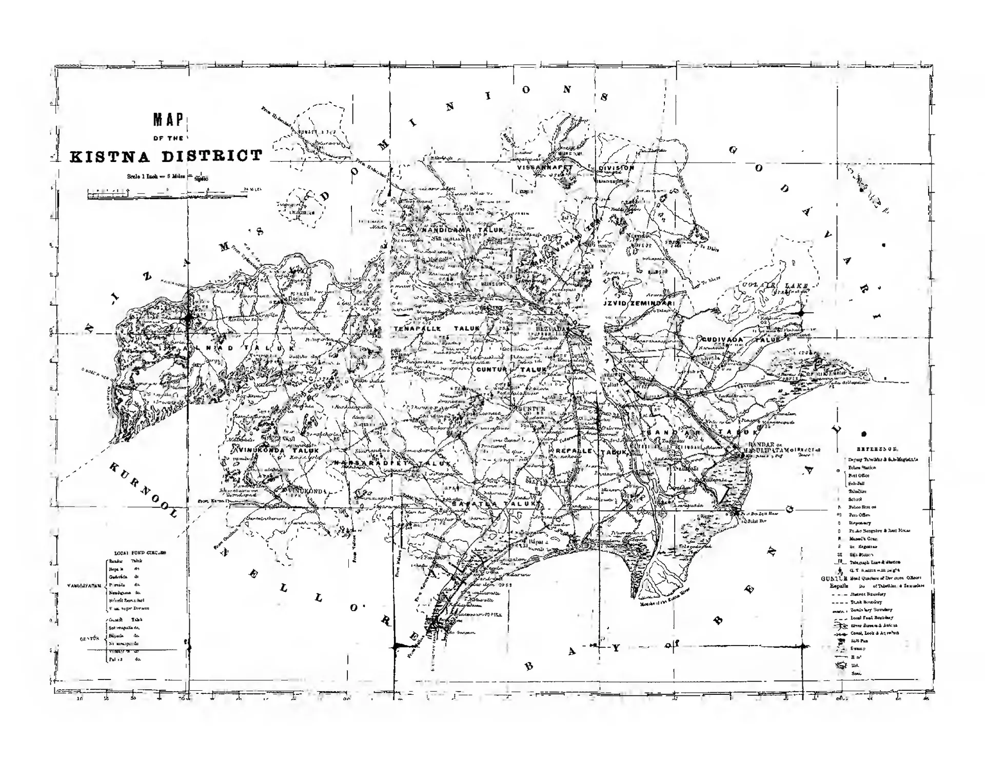
Folding map of the Kistna district between the Godavari district, the Nizam's Dominions, Kurnool, Nellore and the Bay of Bengal, with taluk names, roads, canals, the river Kistna and a reference key.
Type
Map
Creator
Gordon Mackenzie
Date
1883
Licence
Public domain
From
Mackenzie, Gordon(Comp), A Manual Of The Krishna District In The Presidency Of Madras 1883 (opens in a new tab), 1883, folding map, PDF p. 1
Original
archive.org (opens in a new tab)
Appears in
Mughals, Asaf Jahis & the British, British Crown (Madras Presidency), Chandavolu (Chandole), Chebrolu, Karempudi, Gurazala, Macherla, Machilipatnam, Amaravati & Dharanikota