ప్రచురితమైన ఆధారాలతో నిర్మించిన కొత్త సైట్. ఏదైనా పొరపాటు కనిపించిందా? మాకు తెలియజేయండి

"Map of the Kistna District" (folding map) (Mackenzie 1883, folding map, PDF p. 1)
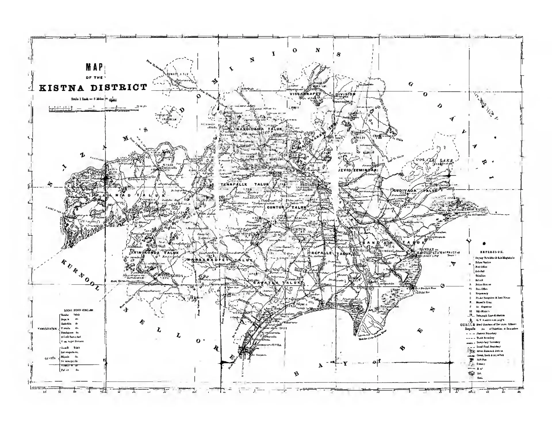
Folding map of the Kistna district between the Godavari district, the Nizam's Dominions, Kurnool, Nellore and the Bay of Bengal, with taluk names, roads, canals, the river Kistna and a reference key.
రకం
పటం
సృష్టికర్త
Gordon Mackenzie
తేదీ
1883
లైసెన్సు
Public domain
మూలం
Mackenzie, Gordon(Comp), A Manual Of The Krishna District In The Presidency Of Madras 1883 (opens in a new tab), 1883, folding map, PDF p. 1
మూలం
archive.org (opens in a new tab)
కనిపించే పేజీలు
మొఘలులు, అసఫ్ జాహీలు, బ్రిటిష్ పాలన, బ్రిటిష్ రాజ్ (మద్రాసు ప్రెసిడెన్సీ), చందవోలు (చందోలు), చేబ్రోలు, కారెంపూడి, గురజాల, మాచర్ల, మచిలీపట్నం, అమరావతి, ధరణికోట