A new site, built from published sources. Spotted a mistake? Please tell us

James Rennell, "The Peninsula of India ... exhibiting the partition of the territories of the late Tippoo Sultaun, according to the treaty of 1792 ... and that of 1799" (London, 1800), Royal Museums Greenwich K1047
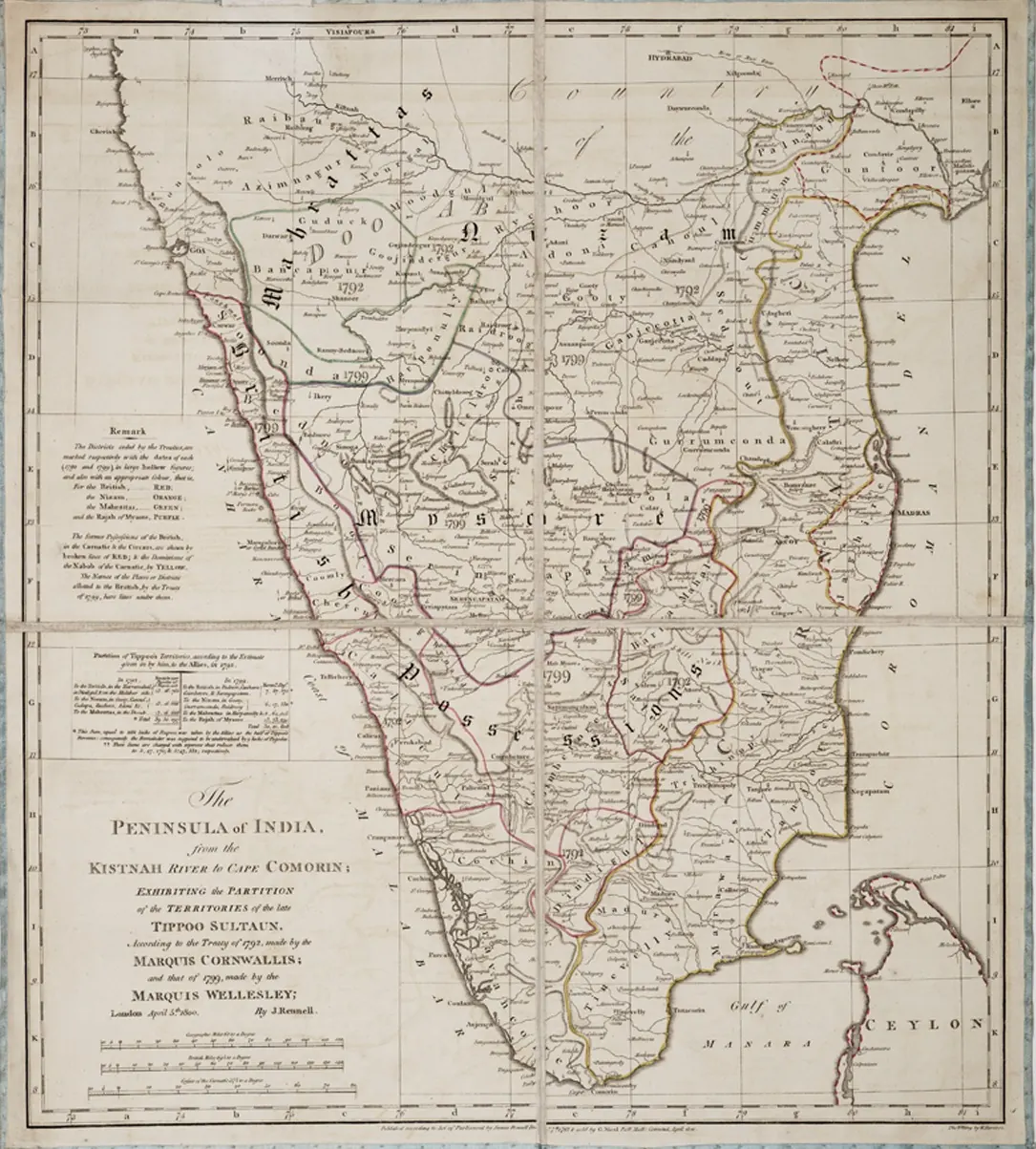
Engraved map of southern India with coloured boundary lines marking the districts ceded to the British, the Nizam, the Marathas and Mysore in 1792 and 1799, with the word Mahrattas across the Doab north of the Tungabhadra.
Type
Map
Creator
James Rennell (Royal Museums Greenwich), via Wikimedia Commons
Date
1800
Licence
Public domain
Original
commons.wikimedia.org (opens in a new tab)
Appears in
Mughals, Asaf Jahis & the British, Marathas and the Telugu country, Asaf Jahis (Nizams of Hyderabad), Mysore under Haidar Ali and Tipu Sultan, East India Company, Tipu Sultan, Gurramkonda, Gooty, Kadapa (Cuddapah), Bellary (Ballari)