Eastern Chalukyas & the Deccan powers
From the 7th to the 12th century, the Eastern Chalukyas of Vengi ruled the Krishna–Godavari coast. The interior was held by the Chalukyas of Badami, the Rashtrakutas, the Chalukyas of Kalyani and local lines such as the Telugu Cholas. Telugu verse appears in inscriptions in the 9th century, and Nannaya's Mahabharata at Rajahmundry in the 11th.
Swipe sideways to see the whole chart; tap a bar for details.
Each bar is a ruling power in its region; time runs left to right. Dashed = approximate dates. Select a bar for details.
Show as a list
Ikshvakus, Vishnukundins & early kingdoms 225–624 CE
- Telangana
- Vishnukundins (c. 375–612 CE)
- Coastal Andhra
- Pallavas (c. 250–630 CE) · Vishnukundins (c. 500–630 CE) · Eastern Gangas of Kalinga (c. 537–1434 CE) · Eastern Chalukyas of Vengi (c. 615–973 CE) · Chalukyas of Badami (c. 615–642 CE)
- Rayalaseema
- Pallavas (c. 300–900 CE) · Telugu Cholas of Renadu (c. 550–800 CE)
Eastern Chalukyas & the Deccan powers 624–1163 CE
- Telangana
- Chalukyas of Badami (c. 655–753 CE) · Chalukyas of Mudigonda (c. 890–1218 CE) · Chalukyas of Vemulavada (c. 750–973 CE) · Kakatiyas (c. 1052–1162 CE) · Rashtrakutas of Malkhed (c. 753–973 CE) · Telugu Chodas of Kanduru (c. 1060–1160 CE) · Eastern Chalukyas of Vengi (c. 935–973 CE) · Western Chalukyas of Kalyani (c. 973–1163 CE)
- Coastal Andhra
- Pallavas (c. 250–630 CE) · Chalukyas of Badami (c. 655–680 CE) · Cholas of Tanjore (c. 999–1135 CE) · Vishnukundins (c. 500–630 CE) · Eastern Chalukyas of Vengi (c. 999–1077 CE) · Kotas of Dharanikota (c. 1100–1276 CE) · Eastern Gangas of Kalinga (c. 537–1434 CE) · Haihayas of Kona and Palnadu (c. 1073–1364 CE) · Telugu Chodas of Pottapi and Nellore (c. 1106–1316 CE) · Velanati Chodas (c. 1118–1209 CE) · Western Chalukyas of Kalyani (c. 1118–1126 CE)
- Rayalaseema
- Pallavas (c. 300–900 CE) · Cholas of Tanjore (c. 985–1268 CE) · Telugu Cholas of Renadu (c. 550–800 CE) · Western Chalukyas of Kalyani (c. 1000–1190 CE) · Chalukyas of Badami (c. 654–753 CE) · Telugu Chodas of Pottapi and Nellore (c. 1120–1268 CE) · Banas (c. 700–915 CE) · Vaidumbas (c. 750–1000 CE) · Nolamba-Pallavas (c. 750–974 CE) · Rashtrakutas of Malkhed (c. 750–973 CE)
Kakatiyas 1163–1323 CE
- Telangana
- Chalukyas of Mudigonda (c. 890–1218 CE) · Kakatiyas (c. 1163–1323 CE)
- Coastal Andhra
- Kakatiyas (c. 1185–1323 CE) · Kotas of Dharanikota (c. 1100–1276 CE) · Eastern Gangas of Kalinga (c. 537–1434 CE) · Haihayas of Kona and Palnadu (c. 1073–1364 CE) · Telugu Chodas of Pottapi and Nellore (c. 1106–1316 CE) · Velanati Chodas (c. 1118–1209 CE) · Cholas of Tanjore (c. 1135–1264 CE)
- Rayalaseema
- Cholas of Tanjore (c. 985–1268 CE) · Western Chalukyas of Kalyani (c. 1000–1190 CE) · Telugu Chodas of Pottapi and Nellore (c. 1120–1268 CE) · Hoysalas (c. 1178–1342 CE)
Kingdoms and empires
Vishnukundins
Open page- Telangana: c. 375–612 CE (c. 237 years)
Partial: the early kingdom north of Srisailam (Nalgonda and Mahabubnagar), with its capital at Keesaragutta near Hyderabad or at Indrapura (Indrapala Gutta near Tummalagudem, Nalgonda); the capital later moved to Trivaranagara (Tiruvuru). The Tummalagudem plates of Govindavarman (37th year) and Vikramendravarman II (Saka 488, 566-67) were found in Nalgonda. The early dates (Indravarman c. 375-400) and the end in 612 follow Goel et al.
- Coastal Andhra: c. 500–630 CE (c. 130 years)
Krishna-Godavari country; later capital Lendulura (Denduluru near Vengi); grants from the Godavari delta, Tenali taluk and the Vizianagaram region, and a pillar at Velpuru south of the Krishna. Dates disputed: K. V. Lakshman Rao (in Sewell 1932) about 357-610; Panchamukhi (1936) about 500 to the Chalukya conquest of 621-631; Mirashi puts Madhavavarman I about 510-568; Sircar (1939) about 500-670 and an end later still
Rulers (7)
- Vikramahendra (c. 500–520 CE)
- Govindavarman (c. 520–535 CE)
- Madhavavarman (Vishnukundin) (c. 535–585 CE)
- Madhavavarman II (Vishnukundin) (c. 585–615 CE)
- Vikramendravarman I (c. 615–625 CE)
- Indravarman (Vishnukundin) (c. 625–655 CE)
Capitals
Inscriptions (7)
- Chikkulla plates of Vikramendravarman II
- Ipur plates (set I) of Govindavarman's son Madhavavarman
- Ipur plates (set II) of Madhavavarman II
- Khanapur plates of Madhavavarman
- Polamuru plates of Madhavavarman Janashraya
- Ramatirtham plates of Indravarman
… and 1 more
Sources (8)
Kingdoms and empires
Chalukyas of Badami
Open page- Coastal Andhra: c. 615–642 CE (c. 27 years)
Pulakesin II took Pishtapura (Pithapuram) and the Kolleru lake country (Aihole inscription) about 615 and left his brother Vishnuvardhana to govern Vengi, which was an independent kingdom by 632 (Fleet); his Kopparam plates grant land in Karmarashtra (Guntur) in 631, and Hultzsch read them as showing Vishnuvardhana still his subordinate then. The Vizagapatam gazetteer adds that the Badami Chalukyas had already conquered Kalinga in the 6th century.
- Rayalaseema: c. 654–753 CE (c. 99 years)
Copper-plate grants of Vikramaditya I in Kurnool (654-55, 657-58, 663); his grant names the Nalavadi district (near Madakasira, Anantapur); grants of 680 in Anantapur and Bellary; grants of Vinayaditya in the Kurnool district (Nandyal, 689-90); the Telugu Cholas of Renadu were their vassals. Fleet guessed that Kirtivarman I's enemies the Nalas lived towards Bellary and Kurnool.
- Telangana: c. 655–753 CE (c. 98 years)
Partial: the Alampur-Gadwal country. Amudalapadu plates of Vikramaditya I (Alampur taluk, 660), Gadval plates (674), Pallepadu plates of Vinayaditya (682, issued at Pangal), and inscriptions in the Alampur temples of a queen of Vikramaditya I, of Vinayaditya's reign and of Vijayaditya (704, 713). IG Hyderabad: displaced by the Rashtrakutas (Dantidurga, 753).
- Coastal Andhra: c. 655–680 CE (c. 25 years)
Partial: Nellore. Talamanchi plates of Vikramaditya I (found near Nellore, 13 July 660), a grant to his preceptor Meghacharya.
Rulers (9)
- Pulakesin I (c. 550–566 CE)
- Kirtivarman I (c. 566–597 CE)
- Mangalesa (c. 597–609 CE)
- Pulakesin II (c. 609–642 CE)
- Vikramaditya I (Chalukya of Badami) (c. 655–680 CE)
- Vinayaditya (c. 680–696 CE)
… and 3 more
- Vijayaditya (c. 696–733 CE)
- Vikramaditya II (c. 733–746 CE)
- Kirtivarman II (c. 746–757 CE)
Capitals
Monuments
Inscriptions
Sources (12)
Kingdoms and empires
Chalukyas of Mudigonda
Open page- Telangana: c. 890–1218 CE (c. 328 years)
Partial: Mudigonda (Khammam), the Manchikonda district and the Koravi (Kuravi) country, later the Visuru-nadu on the Godavari; feudatories of the Eastern Chalukyas, later of the Chalukyas of Kalyani. No record of the family is dated: start from Kusumayudha I's part in Chalukya-Bhima I's coronation (892), end from Parabrahma Sastry's identification of Kusumaditya and Nagati in a record of 1218. Driven out by the Kakatiyas (Recherla Rudra; Ganapatideva).
Rulers (13)
- Kokiraja (c. 865–890 CE)
- Kusumayudha I (c. 890–915 CE)
- Bijayita (c. 915–940 CE)
- Kusumayudha II (c. 940–965 CE)
- Vijayaditya (c. 965–990 CE)
- Kusumayudha III (c. 990–1015 CE)
… and 7 more
- Nijjiyaraja (c. 1015–1040 CE)
- Kusumayudha IV (Chalukya of Mudigonda) (c. 1040–1065 CE)
- Beta (c. 1065–1090 CE)
- Kusumayudha V (c. 1090–1110 CE)
- Bottu-Beta (c. 1110–1140 CE)
- Kusumaditya (Chalukya of Mudigonda) (c. 1140–1165 CE)
- Nagati (c. 1165–1196 CE)
Capitals
Inscriptions
Sources (4)
Kingdoms and empires
Chalukyas of Vemulavada
Open page- Telangana: c. 750–973 CE (c. 223 years)
Partial: the Sabbi Thousand (Karimnagar), capital Vemulavada (Lembulavataka), as Rashtrakuta feudatories; Podana (Bodhan) under the founder Yuddhamalla I (Venkataramanayya). Dated records: Chennur 940, Parbhani plates 966, Repaka 968. Ended when the Chalukyas of Kalyani took Telangana between 966 and 973.
Rulers (10)
- Vinayaditya-Yuddhamalla I (Chalukya of Vemulavada) (c. 750–775 CE)
- Arikesari I (c. 775–800 CE)
- Narasimha I (c. 800–825 CE)
- Yuddhamalla II (c. 825–850 CE)
- Baddega I Soladaganda (Chalukya of Vemulavada) (c. 850–895 CE)
- Yuddhamalla III (c. 895–915 CE)
Capitals
Monuments
Inscriptions
Sources (3)
Kingdoms and empires
Kakatiyas
Open page- Telangana: c. 1052–1162 CE (c. 110 years)
Partial: feudatory chiefs of Anumakonda (Hanamkonda) under the Chalukyas of Kalyani. Prola I received the Anumakonda district as a permanent fief from Someshvara I (record of 1053); Prola II's last record as a subordinate is of 1149; Rudradeva subdued the other Telangana chiefs c. 1157–62 (Parabrahma Sastry). Earlier members served the Rashtrakutas (Mangallu grant, c. 956) according to Parabrahma Sastry, a link rejected by Venkataramanayya and Somasekhara Sarma (1960).
- Telangana: c. 1163–1323 CE (c. 160 years)
Sovereign from Rudradeva's Anumakonda inscription of January 1163; capital moved to Orugallu (Warangal) under Ganapatideva. Warangal taken by Ulugh Khan in 1323 (Parabrahma Sastry, after Isami); Barani and the Imperial Gazetteer give 1321.
- Coastal Andhra: c. 1185–1323 CE (c. 138 years)
Rudradeva subdued the Kotas of Dharanikota and the Kondapadumatis (Tripurantakam grant 1185); Ganapatideva annexed Divi (1203) and Velanadu (records from 1209; Jaya governor 1213) and held the coast from the Godavari to the Penna; Kakatiya records at Draksharama from 1212, but the Eastern Gangas held the region north of the Godavari c. 1230–33 and again c. 1262–78; the Telugu Chodas of Nellore were allies; Nellore was lost to the Pandyas c. 1263 and recovered under Prataparudra.
- Rayalaseema: c. 1250–1323 CE (c. 73 years)
Through the Kayastha chiefs (Gangaya Sahini, bahattara-niyogadhipati c. 1250, capital Valluru in Cuddapah); Ambadeva independent c. 1272–1291, until Prataparudra's armies retook Tripurantakam (between 13 June and 11 August 1291) and the Kayastha lands within about eight years.
Rulers (11)
Capitals
Monuments (16)
Inscriptions (36)
- Kazipet Dargah pillar inscription
- Matedu inscription of Vemabola Malle-nayaka
- Gudur pillar inscriptions of the Viriyala family
- Thousand Pillar Temple inscription of Rudradeva
- Karimnagar inscription of Gangadhara
- Warangal fort inscription of Rudradeva
… and 30 more
- Pillalamarri inscription of Recherla Nami-reddi
- Kondaparti inscription of Malyala Chaunda
- Inugurti pillar inscription of Natavadi Rudra
- Bayyaram tank inscription of Mailama
- Chebrolu inscription of Jaya
- Palampet pillar inscription of Recherla Rudra
- Ganapavaram inscription of Devapala
- Warangal toll inscription of Ganapatideva
- Ganapesvaram inscription of Jaya
- Upparapalli pillar inscription of Kataya
- Motupalli pillar inscription of Ganapatideva
- Pakhal lake inscription of Jagadala Mummadi
- Rayaparti fragment of Saka 1169
- Ekamranatha temple inscription of Ganapati
- Nayanapalle inscription of Ganapatideva
- Durgi inscription of Gangaya-sahini
- Sarngapuram plates of Sarngadhara
- Bothpur tank inscription of Malyala Gunda
- Garavapadu plates of Ganapatideva
- Malkapuram pillar inscription of Rudramadevi
- Kotagiri plates of Viryala Sura
- Kolanupaka inscription of Rudramadevi's reign
- Chandupatla inscription
- Panugallu inscription of Immadi Mallikarjuna-nayaka
- Tripurantakam inscription of Ambadeva
- Raichur fort inscription of Gona Vithala
- Mellacheruvu inscription of Prataparudra's reign
- Srirangam inscription of Prataparudra
- Dharmasagar inscription of the minister Malla
- Hanamkonda inscription of Gangadhara
Sources (7)
Kingdoms and empires
Rashtrakutas of Malkhed
Open page- Rayalaseema: c. 750–973 CE (c. 223 years)
Through the Nolambas in Anantapur from about 750. The Cuddapah gazetteer finds no lasting foothold in Cuddapah until Indra III (c. 915), and says Krishna III (940-956) held all of Cuddapah except the east. The dynasty fell in 973.
- Telangana: c. 753–973 CE (c. 220 years)
Displaced the Chalukyas mid-8th century (Dantidurga 753). Inscriptions of their reigns or their feudatories at Alampur (Dhruva, about 780), Kuruvagattu (Govinda III), Mallikarjunapalli (846, 946), Khajipet, Velmajala (907), Padaturu (913) and Chennur (940); the Vemulavada Chalukyas and probably the early Kakatiyas were their subordinates. The dynasty fell in 973 and Western Chalukya rule in Telangana is attested by 995.
Rulers (13)
- Dantidurga (c. 753–756 CE)
- Krishna I (c. 756–774 CE)
- Govinda II (c. 774–780 CE)
- Dhruva (c. 780–793 CE)
- Govinda III (Rashtrakuta) (c. 793–814 CE)
- Amoghavarsha I (c. 814–878 CE)
… and 7 more
- Krishna II (Rashtrakuta) (c. 878–914 CE)
- Indra III (c. 915–917 CE)
- Govinda IV (c. 918–935 CE)
- Amoghavarsha III (Vaddiga) (c. 935–939 CE)
- Krishna III (Rashtrakuta) (c. 939–966 CE)
- Khottiga (c. 966–972 CE)
- Kakka II (c. 972–973 CE)
Capitals
Inscriptions
Sources (14)
Kingdoms and empires
Telugu Chodas of Kanduru
Open page- Telangana: c. 1060–1160 CE (c. 100 years)
Partial (Kandurunadu: the Jadcharla and Achampet areas of Mahbubnagar and the Nalgonda and Miryalaguda areas of Nalgonda), ruled from Kodur and Panugallu as feudatories of the Chalukyas of Kalyani; Tondarasa of Kandur governed the Kollipake province in 1088. Prola II restored Udaya Choda at Panugallu about 1131; Rudradeva drove out Bhima and annexed the country in the 1150s (last record of Bhima 1157). The family then held fiefs under the Kakatiyas, with a last record in 1282.
Rulers
- Tondaya II (Tondarasa) of Kandur (1088–1091 CE)
- Bhima Choda III of Kandur (c. 1105–1157 CE)
- Gokarna Choda I (c. 1124–1128 CE)
- Udaya Choda II of Kandur (1136–1176 CE)
- Bhima IV and Gokarna II (1178 CE)
Capitals
Inscriptions
Sources (5)
Kingdoms and empires
Eastern Chalukyas of Vengi
Open page- Coastal Andhra: c. 615–973 CE (c. 358 years)
Vengi, between the Godavari and the Krishna, with the Vizagapatam country to the north (Chipurupalle grant of 632) and Karmarashtra, the Ongole-Guntur country, to the south (grants of 664 and 673). Kubja Vishnuvardhana was installed as yuvaraja in 615 (Fleet) and was independent by 632; others date the start about 605 (Hultzsch 1890, Mackenzie), after 631 (Kopparam plates, Hultzsch 1926) or in 624-25 (Rama Rao 1964). The line of kings from the grants ends with Danarnava (970-973).
- Telangana: c. 935–973 CE (c. 38 years)
Partial: the Chalukya chiefs of Mudigonda and Koravi (Khammam and Warangal) owed allegiance to Vengi rather than to the Rashtrakutas, in Parabrahma Sastry's account; ended after the death of Danarnava in 973.
- Coastal Andhra: c. 999–1077 CE (c. 78 years)
After an interval that the grants call twenty-seven years without a ruler, Saktivarman I was restored about 999 with the help of the Chola Rajaraja I, "as king (or perhaps feudatory)" in the Godavari gazetteer's words. His successors married Chola princesses; Rajendra II, heir to Vengi in 1063, became the Chola emperor Kulottunga I in 1070. His uncle Vijayaditya VII governed Vengi until he died in 1077 (1076 in Sewell's table), after which Vengi was ruled for the Cholas by viceroys.
Rulers (29)
- Kubja Vishnuvardhana (c. 615–633 CE)
- Jayasimha I (c. 633–663 CE)
- Indra-Bhattaraka (c. 663 CE)
- Vishnuvardhana II (Eastern Chalukya) (c. 663–672 CE)
- Mangi-yuvaraja (c. 672–696 CE)
- Jayasimha II (Eastern Chalukya) (c. 696–709 CE)
… and 23 more
- Kokkili (c. 709 CE)
- Vishnuvardhana III (Eastern Chalukya) (c. 709–746 CE)
- Vijayaditya I (c. 746–764 CE)
- Vishnuvardhana IV (Eastern Chalukya) (c. 764–799 CE)
- Vijayaditya II Narendra-mrigaraja (c. 799–843 CE)
- Kali-Vishnuvardhana V (c. 843–844 CE)
- Gunaga Vijayaditya III (c. 844–888 CE)
- Chalukya-Bhima I (c. 888–918 CE)
- Vijayaditya IV (Kollabhiganda) (c. 918 CE)
- Amma I (c. 918–925 CE)
- Beta-Vijayaditya V (c. 925 CE)
- Tadapa (c. 925 CE)
- Vikramaditya II (c. 926 CE)
- Bhima III (c. 926–927 CE)
- Yuddhamalla II (c. 927–934 CE)
- Chalukya-Bhima II (c. 934–945 CE)
- Amma II (945–970 CE)
- Danarnava (970–973 CE)
- Saktivarman I (c. 999–1011 CE)
- Vimaladitya (1011–1022 CE)
- Rajaraja Narendra (1022–1063 CE)
- Kulottunga I (c. 1063–1070 CE)
- Vijayaditya VII (c. 1063–1076 CE)
Capitals
Monuments
Inscriptions (36)
- Satara grant of Vishnuvardhana I
- Timmapuram plates of Vishnuvardhana I
- Chipurupalle plates of Vishnuvardhana I
- Pedda-Vegi plates of Jayasimha I
- Niduparu grant of Jayasimha I
- Pulibumra plates of Jayasimha I
… and 30 more
- Gudivada plates of Jayasimha I (three grants)
- Chendalur plates of Sarvalokasraya (Mangi-yuvaraja)
- Penukaparu grant of Jayasimha II
- Ipur plates of Vishnuvardhana III
- Ederu plates of Vijayaditya II
- Addanki inscription of Pandaranga
- Masulipatam (?) plates of Vijayaditya III
- Bezwada plates of Chalukya-Bhima I
- Bezwada pillar inscription of Yuddhamalla
- Chevuru plates of Amma I
- Ederu plates of Amma I
- Diggubarru grant of Chalukya-Bhima II
- Gundugolanu plates of Amma II
- Kaluchumbarru grant of Amma II
- Maliyapundi grant of Amma II
- Masulipatam plates of Amma II
- Padamkaluru grant of Amma II
- Vandram plates of Amma II
- Vemalurpadu plates of Amma II
- Yelavarru plates of Amma II
- Arumbaka plates of Badapa
- Mangallu grant of Amma II
- Sripundi plates of Tala II
- Tandikonda grant of Amma II
- Ranastipundi grant of Vimaladitya
- Kalidindi grant of Rajaraja I
- Korumelli plates of Rajaraja I
- Nandamapundi grant of Rajaraja Narendra
- Teki plates of Rajaraja-Chodaganga
- Chellur plates of Vira-Choda
Sources (10)
Kingdoms and empires
Western Chalukyas of Kalyani
Open page- Telangana: c. 973–1163 CE (c. 190 years)
Restored 973 (Korapolu, Medak district, inscription of Ahavamalla Taila II, April 973; earliest near Anumakonda Jammikunta 995). Held through feudatories (Kakatiyas, Polavasa chiefs, Kandur Chodas, Mudigonda chiefs) and the Kollipake (Kolanupaka) province under royal governors and princes; Taila III's death is recorded at Anumakonda in January 1163, when the Kakatiyas became sovereign
- Rayalaseema: c. 1000–1190 CE (c. 190 years)
11th-12th centuries in Anantapur (Vikramaditya VI's inscriptions at Gooty; records of 1113 and 1121), Kurnool (1122) and Tripurantakam (1122, 1126); a Chola chief governed Renadu (Cuddapah) under Vikramaditya VI in 1124; overthrown c. 1189 by the Hoysalas and Yadavas
- Coastal Andhra: c. 1118–1126 CE (c. 8 years)
Vengi: after the Chola viceroy Vikrama Chola left in 1118, Vikramaditya VI ruled "the Vengi 14000 country" (Sewell) through his general Anantapala; records at Draksharama 1120-1124; the Godavari gazetteer has him "undisputed king of Vengi" 1120-1124. Vikrama Chola was again supreme south of the Krishna by 1127. Earlier, only single records (Satyasraya at Chebrolu, 1006)
Rulers (11)
- Taila II (973–997 CE)
- Satyasraya (c. 997–1008 CE)
- Vikramaditya V (c. 1008–1015 CE)
- Jayasimha II (Western Chalukya) (c. 1015–1042 CE)
- Somesvara I (c. 1042–1068 CE)
- Somesvara II (1068–1076 CE)
… and 5 more
- Vikramaditya VI (1076–1126 CE)
- Somesvara III (1126–1138 CE)
- Jagadekamalla II (1138–1150 CE)
- Taila III (c. 1150–1162 CE)
- Somesvara IV (c. 1183–1189 CE)
Capitals
Inscriptions (9)
Sources (9)
Kingdoms and empires
Pallavas
Open page- Coastal Andhra: c. 250–630 CE (c. 380 years)
Krishna-Guntur, Ongole and Nellore. Prakrit grant of the crown prince Sivaskandavarman to his officer at Dhanyakataka (Amaravati), dated from about 234 (Sewell) or 250-275 (Jouveau-Dubreuil) to the first half of the 4th century (Sircar); Sanskrit grants of a Nellore-Guntur line (Omgodu, Uruvupalli, Pikira, Mangalur, Vilavatti, Chura) in the 5th and 6th centuries. Karmarashtra (Ongole-Bapatla) was Chalukya by about 630 (Kopparam plates of Pulakesin II). The Godavari gazetteer calls 200-615 a Pallava age, and IG Madras calls Vengi originally a Pallava province; Sircar found no evidence that the Pallavas held Vengi itself.
- Rayalaseema: c. 300–900 CE (c. 600 years)
Partial. Pallava frontier guards at Sriparvata (Kurnool) in the 4th century (Talagunda inscription; Sircar); Ganga kings of the Penukonda plates installed by Pallava kings (5th century); inscription of Paramesvaravarman II at Ulchala near Kurnool (728-29); Bana vassals in the Chittoor country under Nripatunga (9th century). The Cuddapah gazetteer has the Pallavas hold the eastern Cuddapah taluks for four centuries until the Chola Aditya I crippled them at the end of the 9th century. The Cuddapah gazetteer says the Pallavas of Kanchi pushed up the Penner from Nellore into north Cuddapah for a time and then ruled the eastern Cuddapah taluks for four centuries, until the Chola Aditya I crippled them at the end of the 9th century; Sewell gives a Pallava regnal-year record in Chittoor (864-65), with the Banas as Pallava vassals.
- Coastal Andhra: c. 670–750 CE (c. 80 years)
Southern Nellore only: grants of Paramesvaravarman I (Podili-Kandukur country, 687) and Narasimhavarman II (Revuru, Atmakur taluk, about 700-711), and a Tamil record of the 15th year of Nandipottarasar at Mallam (Gudur taluk), read as Pallava supremacy (Nellore gazetteer, 1942) or as Pallava rule under the Western Chalukyas (Butterworth and Venugopaul Chetty, 1905).
Rulers (18)
- Bappa (c. 225–250 CE)
- Sivaskandavarman (Pallava) (c. 250–275 CE)
- Vishnugopa of Kanchi (c. 325–350 CE)
- Kumaravishnu II (Pallava) (c. 425–450 CE)
- Skandavarman II (Pallava) (c. 450–475 CE)
- Simhavarman II (Pallava) (c. 500–525 CE)
… and 12 more
- Vishnugopavarman (c. 525–550 CE)
- Simhavishnu (c. 575–600 CE)
- Mahendravarman I (c. 600–630 CE)
- Narasimhavarman I (c. 630–668 CE)
- Mahendravarman II (c. 668–670 CE)
- Paramesvaravarman I (c. 670–690 CE)
- Narasimhavarman II (c. 690–715 CE)
- Nandivarman II Pallavamalla (c. 717–779 CE)
- Dantivarman (c. 779–830 CE)
- Nandivarman III (c. 830–854 CE)
- Nripatunga (c. 854–880 CE)
- Aparajita (c. 880–900 CE)
Capitals
Inscriptions (14)
Sources (19)
Kingdoms and empires
Cholas of Tanjore
Open page- Rayalaseema: c. 985–1268 CE (c. 283 years)
Rajaraja I (from 982/985) claims Nulambapadi and had the Vaidumbas of Cuddapah as feudatories. Chola inscriptions in Kurnool are dated 1108 and 1123. The east of Cuddapah (Pottapi-nadu) stayed under Chola suzerainty through the Telugu Chodas until Rajendra III's death in 1268. IG Madras has Cuddapah Chola from the 11th to the 13th century.
- Coastal Andhra: c. 999–1135 CE (c. 136 years)
Overlords of the Eastern Chalukya kings from 999; Kulottunga I's sons ruled Vengi as viceroys 1077-1118; Vengi was lost to the Western Chalukyas after Vikrama-Chola left in 1118, and his records reappear at Chebrolu (1127) and Nidubrolu (1135). Nellore stayed under Chola suzerainty into the 13th century (IG Madras)
- Coastal Andhra: c. 1135–1264 CE (c. 129 years)
Partial (Nellore). After Vengi was lost, Nellore stayed under the Cholas until their 13th-century decline: Rajaraja III is recognised there in 1237 and Rajendra III in 1253, with the Telugu Choda chiefs ruling locally as their vassals. A Tamil record at Punjulurupadu, in the Gudur country, is still dated in the 20th year of Rajendra III, Saka 1185 (1263-64).
Rulers (14)
- Rajaraja I (Chola) (985–1016 CE)
- Rajendra I (Chola) (1012–1043 CE)
- Rajadhiraja I (Chola) (1018–1052 CE)
- Rajendradeva (1052–1063 CE)
- Virarajendra (Chola) (1063–1070 CE)
- Adhirajendra (1070 CE)
… and 8 more
- Kulottunga I (1070–1118 CE)
- Vikrama-Chola (1118–1133 CE)
- Kulottunga II (Chola) (1133–1146 CE)
- Rajaraja II (Chola) (1146–1163 CE)
- Rajadhiraja II (1163–1178 CE)
- Kulottunga III (Chola) (1178–1216 CE)
- Rajaraja III (1216–1246 CE)
- Rajendra III (Chola) (1246–1267 CE)
Capitals
Inscriptions (10)
Sources (9)
Kingdoms and empires
Kotas of Dharanikota
Open page- Coastal Andhra: c. 1100–1276 CE (c. 176 years)
Partial (the Six-thousand country, Konnatavadi, south of the Krishna about Amaravati–Dharanikota and the Sattenapalle taluk). Line from Bhima I (c. 1100, Sewell); Keta II from about 1182; subdued by the Kakatiya Rudradeva about 1185 and thereafter Kakatiya subordinates and relatives by marriage (Ganapamba, widow of Kota Beta, ruled in the 1250s); last record of a Kota Rudra 1275–76.
Rulers
- Kota Keta II (c. 1182–1209 CE)
- Manma-Keta (Keta III) (c. 1234–1240 CE)
- Kota Beta (c. 1250–1251 CE)
- Ganapamba (c. 1251–1257 CE)
- Bhima IV (1265 CE)
Capitals
Inscriptions
Sources (5)
Kingdoms and empires
Eastern Gangas of Kalinga
Open page- Coastal Andhra: c. 537–1434 CE (c. 897 years)
Partial: only the far north coast (the old Ganjam and Vizagapatam districts, now Srikakulam-Vizianagaram- Visakhapatnam), capital Kalinganagara (Mukhalingam). Earliest dated grant: Jirjingi, near Tekkali, Ganga year 39 (c. 537 on Mirashi's epoch of 498; Fleet put the early grants in the 7th century and Sewell used an epoch of 877-78; the Imperial Gazetteer, the 7th century). Later line in power from the end of the 9th century (Vizagapatam gazetteer): Vajrahasta III crowned 1038; Anantavarman Chodaganga 1078-1146, with records at Mukhalingam, Srikurmam, Simhachalam and Visakhapatnam. South of the Godavari only records and raids (Draksharama 1128-1274; Bendapudi). Ended 1434, when the minister Kapilesvara founded the Gajapati line
Rulers (15)
- Vajrahasta III (Eastern Ganga) (1038–1070 CE)
- Rajaraja I (Eastern Ganga) (1070–1078 CE)
- Anantavarman Chodaganga (c. 1078–1146 CE)
- Madhu-Kamarnava (c. 1146–1152 CE)
- Raghava (c. 1152–1166 CE)
- Rajaraja II (c. 1166–1192 CE)
… and 9 more
- Aniyanka-Bhima (c. 1192–1202 CE)
- Anangabhima III (c. 1219–1253 CE)
- Narasimha I (Eastern Ganga) (c. 1253–1256 CE)
- Bhanudeva I (c. 1256–1275 CE)
- Narasimha II (c. 1275–1306 CE)
- Bhanudeva II (c. 1306–1323 CE)
- Narasimha III (c. 1323–1346 CE)
- Bhanudeva III (c. 1346–1378 CE)
- Narasimha IV (c. 1378–1397 CE)
Capitals
Monuments
Inscriptions (8)
Sources (10)
Kingdoms and empires
Haihayas of Kona and Palnadu
Open page- Coastal Andhra: c. 1073–1364 CE (c. 291 years)
Partial. Kona chiefs of Konamandala (the Godavari delta, Amalapuram taluk), with records at Draksharama and Palakol from Saka 995 (1073) to 1364–65, dependent on the Chola–Chalukya kings and the Velanati Chodas, later on the Kakatiyas; Haihaya chiefs of the Chagi family in the Palnadu (Macherla 1111, Gurazala 1129) as feudatories of the Chalukyas of Kalyani; the Palnadu war of the ballads is undated (proposals 1080–1386).
Rulers
- Rajendra Choda I of Kona (1128 CE)
- Mummadi-Bhima II and Satya I (1135 CE)
- Bhima III (c. 1153–1168 CE)
- Mallideva of Kona (c. 1155–1207 CE)
- Ganapatideva of Kona (c. 1262–1300 CE)
- Bhima-Vallabha (1318 CE)
Inscriptions
Sources (5)
Kingdoms and empires
Telugu Chodas of Pottapi and Nellore
Open page- Coastal Andhra: c. 1106–1316 CE (c. 210 years)
Konidena branch in the Guntur country from 1106 to about 1150; the main line at Nellore (Vikramasimhapura) from Tammusiddhi's anointment in 1205-06, under the Cholas and then the Kakatiyas, who restored Manumasiddhi II; held Kanchi under Tikka I (1209/1223-1248/1250) and Manmasiddhi III. Last date 1316 (Sewell); the Nellore gazetteer finds no Telugu Choda record in Nellore after 1305.
- Rayalaseema: c. 1120–1268 CE (c. 148 years)
Pottapinadu (Pullampet country of Cuddapah), seat of the Madhurantaka Pottapi-Cholas under the Chola emperors: Betta 1120-21, Vimaladitya c. 1125; Pottapi remained their seat until Tikka I moved to Nellore; Manumasiddhi II recorded at Pottapi 1258-59; the country passed to the Kayastha Ambadeva after 1268.
Rulers
- Tammusiddhi (c. 1205–1209 CE)
- Tikka I (Telugu Choda of Nellore) (c. 1209–1248 CE)
- Manumasiddhi II (c. 1248–1290 CE)
- Manmasiddhi III (c. 1290–1316 CE)
Capitals
Inscriptions
Sources (5)
Kingdoms and empires
Velanati Chodas
Open page- Coastal Andhra: c. 1118–1209 CE (c. 91 years)
Chiefs of Velanadu (the Chandavolu country, western Krishna delta), officers of Kulottunga I from 1076 (Gonka I at Chebrolu); Choda (Rajendra Choda I), adopted by Kulottunga, governed Vengi from between 1100 and 1112 and went over to Vikramaditya VI when the Chola viceroy left in 1118. Gonka II claimed rule from Kalahasti to the Mahendra mountain; Rajendra Choda II (1163–1181) held the coast from Darsi to Simhachalam after 1172 (Parabrahma Sastry). Last ruler Prithvisvara (1186; last record 1206); Velanadu Kakatiya by 1209.
Rulers
Capitals
Inscriptions
Sources (7)
Kingdoms and empires
Telugu Cholas of Renadu
Open page- Rayalaseema: c. 550–800 CE (c. 250 years)
Renandu, the country between the Chitravati and the Cheyyeru (most of Cuddapah, parts of Kolar and Chittoor; Sewell: Cuddapah and Kurnool), with capitals at Chippili and Malepadu. Undated records placed by EI XXVII between the later 6th and the end of the 8th century (Nandivarman c. 550, Punyakumara c. 625); Krishna Sastri (1912) and Narasimhaswami (1956) put Punyakumara near 800 and about 740. A collateral line at Budili lasted to Srikantha, c. 850.
Rulers (9)
- Nandivarman (c. 550–575 CE)
- Dhananjaya (Telugu Chola) (c. 575–600 CE)
- Mahendravikrama (Telugu Chola) (c. 600–625 CE)
- Punyakumara (c. 625–650 CE)
- Vikramaditya I (c. 650–675 CE)
- Saktikumara (c. 675–700 CE)
… and 3 more
- Vikramaditya II (Telugu Chola) (c. 700–725 CE)
- Uttamaditya (c. 725–750 CE)
- Vijayaditya Chola (Telugu Chola) (c. 750–775 CE)
Capitals
Inscriptions (7)
- Kalamalla inscription of Erikal Muturaju Dhananjaya
- Erragudipadu inscription of Erikal-Mutturaju
- Malepadu plates of Punyakumara
- Tippaluru inscription of Punyakumara
- Malepadu stone inscription of Satyaditya
- Dommara-Nandyala plates of Punyakumara
… and 1 more
Sources (4)
Kingdoms and empires
Banas
Open page- Rayalaseema: c. 700–915 CE (c. 215 years)
Partial (the Chittoor hills between Kolar and Kalahasti, with Punganur and Kalahasti among their chief towns; north Cuddapah in the late 9th century). Brackenbury says the Bana kingdom was set up early in the 8th century and was acknowledged in north Cuddapah by 884, before the Banas became feudatories of the Chola Parantaka I (907-940). Five Bana records at Gudimallam (Venkayya 1912) show them as subordinates of the Pallava kings of Kanchi. Sewell and Sircar trace the Banas of North Arcot and Chittoor back to the 4th century. The Nolamba Mahendra attacked their country of Pulinadu, round Punganur, in the later 9th century.
Rulers
- Vijayaditya (under Dantivarman) (c. 820–830 CE)
- Vikramaditya I (Banavidyadhara, Jayameru) (c. 850–880 CE)
- Vijayaditya II Prabhumeru (Bana) (c. 880–910 CE)
- Vikramaditya II (c. 910–921 CE)
Inscriptions
Sources (6)
Kingdoms and empires
Hoysalas
Open page- Rayalaseema: c. 1178–1342 CE (c. 164 years)
Partial (south and west Anantapur: Hemavati, Madakasira, Penukonda, Gooty claim; Rayachoti taluk in the later 13th century). A record at Parigi (Hindupur taluk) of Saka 1100 (1178) shows Ballala II ruling at Dorasamudra; he took Nolambavadi, and his inscription of 1205-06 is at Hemavati. A record at Kodigepalle of 1328 shows Ballala III's minister ruling at Penugonda. Ballala III's inscriptions in Anantapur district run from 1317 through 1320 and 1323 to 1340. He was killed fighting the Sultan of Madurai on 8 September 1342.
Rulers
- Ballala II (Hoysala) (1173–1220 CE)
- Narasimha II (1220–1235 CE)
- Somesvara (1233–1254 CE)
- Narasimha III (1254–1291 CE)
- Ballala III (Hoysala) (1291–1342 CE)
- Ballala IV (Virupaksha) (1342–1343 CE)
Capitals
Sources (6)
Kingdoms and empires
Vaidumbas
Open page- Rayalaseema: c. 750–1000 CE (c. 250 years)
Partial (south Anantapur, Rayachoti, Madanapalle; Kamalapuram by 975). Brackenbury says the Vaidumbas ruled from very early times and reached Rayachoti taluk by the 8th century; Panchamukhi (EI XXIV) thought they grew strong only in the 9th century, after the Banas, and then took the Renandu Seven Thousand country. They fought beside the Banas at Soremati (dated about 877-78 by Sewell, about 885 by Panchamukhi, 900 by Brackenbury). After Krishna III died they were the apparent sovereign as far north as Kamalapuram taluk (975-976), and they became Chola feudatories under Rajaraja I. They stayed Chola feudatories at Rayachoti until at least 1102.
Rulers
- Manuja-Trinetra (c. 860–880 CE)
- Ganda-Trinetra (Vaidumba) (c. 880–900 CE)
- Sandaiyan Tiruvaiyan (c. 940–965 CE)
Sources (3)
Kingdoms and empires
Nolamba-Pallavas
Open page- Rayalaseema: c. 750–974 CE (c. 224 years)
Partial (Anantapur: Hemavati, Gooty, Madakasira, Kambaduru, Hindupur; Kaniyakal in Rayadrug). Nolambavadi, a province covering most of Anantapur, was ruled by the Nolambas, a Pallava branch and feudatories of the Rashtrakutas. Henjeru (Hemavati) was their capital (Krishna Sastri 1910). Dated records: Hindupur 853, Kambaduru 883 and 965 (Rangacharya). The Anantapur gazetteer says 8th to 10th centuries; the Bellary gazetteer says from the mid-7th century for three centuries. The Ganga Marasimha crushed them about 970-974.
Sources (6)
A coast and an interior
For five centuries after about 615, the Telugu-speaking lands were divided along a line that roughly separates the coast from the uplands. On the coast, the Eastern Chalukyas ruled Vengi.1 This was the fertile country between the mouths of the Krishna and the Godavari, and it reached some way inland.1
The interior of the Deccan, including much of present-day Telangana, belonged to a series of larger western powers.23 These were the Chalukyas of Badami, the Rashtrakutas of Malkhed and the Chalukyas of Kalyani.23 In the Rayalaseema uplands, smaller lines such as the Telugu Cholas of Renandu ruled under first one overlord and then another.4
This page outlines the period as a whole. The Eastern Chalukya kings themselves are covered on the dynasty page.
Note on dates: the period is shown here as beginning in 624.56 But the older works in this site’s library date the start of Chalukya rule in Vengi to about 615, with independence by about 632.56 All early dates in this period rest on regnal years counted back from later records.56
The Chalukya conquest of Vengi
The Imperial Gazetteer described Vengi as “apparently originally a province of the Pallavas of Conjeeveram”.1 It says the Chalukyas conquered it in the 7th century, with its capital at Pedda Vegi near Eluru (then Ellore).1
The Badami king Pulakesin II took Pithapuram and Eluru on an eastern campaign.56 He left his brother Vishnuvardhana to govern them.56 Vishnuvardhana’s descendants ruled Vengi as a separate dynasty, distinct from the Western Chalukyas and independent of them.56
According to the Godavari gazetteer, the Chinese pilgrim Hiuen Tsang described the kingdom as thinly peopled.6 Its once-numerous Buddhist monasteries were “in ruins and deserted”.6
The kingdoms of the interior
The Hyderabad volume of the Imperial Gazetteer (1909) sums up the story of the interior.3 The Chalukyas ruled a large part of the south until the middle of the 8th century. Then the Rashtrakutas of Malkhed in Gulbarga district pushed them out.3 In 973 the Chalukya dynasty was restored, and it held power for nearly two hundred years.3
That account places the early Chalukya capital at Kalyani, which reflects an older confusion.3 The Godavari gazetteer correctly gives Badami as the early capital. It gives Kalyani as the capital of the later king Vikramaditya VI.78
The Madras volume dates Rashtrakuta supremacy in the western Deccan to about 750–950.2 It says the restored Western Chalukyas lasted until 1189. In that year their own feudatories (vassal rulers), the Yadavas and the Hoysalas, overthrew them.2
Vengi was again and again drawn into these wars. In 770–71 the Rashtrakuta prince Govinda II camped where the Musi joins the Krishna.9 By his own account, he had humbled the king of Vengi before this.9
In the 9th century, the Eastern Chalukya Gunaga-Vijayaditya III was remembered for victories against Deccan rivals.10 Sewell believed he sacked the Rashtrakuta capital Malkhed between 877 and 888.10 Hultzsch, by contrast, thought Vijayaditya III had been a vassal of the Rashtrakuta Amoghavarsha I.11 The two positions show how the same claims in court poetry can be read in opposite ways.1011
Rayalaseema: the Telugu Cholas and their neighbours
West of the Eastern Ghats, the Telugu Cholas ruled Renandu, the Kadapa country, from about the late 6th century.12 Their undated inscriptions show them using the names of Pallava and then Chalukya overlords.12
The Badami Chalukya king Vijayaditya reigned from 696 to 733.13 Under him, Bana chiefs who served the Chalukyas ruled parts of Renandu.13 Then a Telugu Chola king calling himself Prithvivallabha threw off Chalukya overlordship.13 Later Chola rulers of the region fought the Banas, Vaidumbas and Nolamba-Pallavas.12
The 1915 Cuddapah gazetteer took a different view. It thought the district had “never” been under Chalukya rule, and that the Telugu Cholas were scattered in the later 8th century.14 The 1956 edition of their inscriptions corrects both points.1413
Telangana and the rise of the Kakatiyas
In the 11th and 12th centuries, the uplands of Telangana were governed through feudatories of the Chalukyas of Kalyani.15 Sewell records that Vikramaditya VI gave the territory of Anumakonda (Hanamkonda) to the Kakatiya chief Beta. Beta’s son Prola II ruled it from Warangal and was active by 1117.15
As Kalyani weakened, a Kakatiya ruler defeated the Chalukya Tailapa III about 1155.16 On 19 January 1163, Rudra (Sewell’s “Pratapa Rudra I”) was crowned at Anumakonda after Prola II.17 This site uses that event to close the period.17
Vengi between the Rashtrakutas and the Cholas
The later history of Vengi turns on the Cholas of Tanjore. The Eastern Chalukya king list of 1202 records a 27-year gap after King Danarnava.18 Hultzsch placed the Chola king Rajaraja I’s conquest of Vengi in that gap, in 997–98.18 The Godavari gazetteer dates it to 999. It says Rajaraja placed Saktivarman, a prince of the old line, on the throne as king or feudatory.6
Marriages then bound the two houses together.198 Vimaladitya married a daughter of Rajaraja Chola.198 His son Rajaraja Narendra was crowned in 1022 and made Rajahmundry his capital.198
Rajaraja Narendra’s son became the Chola emperor Kulottunga I in 1070.2021 Vengi then became a province ruled by his relatives and viceroys.2021 The Kalyani Chalukya Vikramaditya VI held Vengi for a short time, from 1120 to 1124.21 After that, the Godavari gazetteer says, Chola influence there faded.21 From the middle of the 12th century, Vengi “came first under a number of petty chiefs”.22
Telugu enters writing and literature
The first inscriptions written wholly in Telugu come from just before this period. The Telugu Cholas left stone inscriptions, beginning with the Kalamalla pillar of about 575.23 Several earlier Pallava records already contain Telugu words.23 But the editors of 1956 called the Kalamalla inscription the first complete inscription in Telugu then known.23 All twelve records in that 1956 edition used the early Telugu-Kannada script of the Badami Chalukyas.4
On the coast, the Addanki inscription of Pandaranga, of about 844, opens with a Telugu verse in the taruvoja metre.24 Its editor saw in it “positive evidence of the existence of Telugu poetry” in the middle of the 9th century.24
The same editor called Nannaya-Bhatta’s Mahabharata the oldest Telugu literary work then known.24 Nannaya wrote it at the court of Rajaraja I of Rajahmundry.24 The Godavari gazetteer also places the Telugu translation of the Mahabharata in Rajaraja’s reign.8
A grant of Rajaraja dated 1053 names its Sanskrit verse-writer as Nanniyabhatta.25 Hultzsch thought him “perhaps identical” with the poet.25 The same grant praises the man who received the gift for composing in five languages, among them Andhra (Telugu).2526
Temples and religion
Inscriptions of the period record royal temple building. A genealogy of 1202 credits the 9th-century king Narendra (Vijayaditya II) with founding 108 temples on 108 battlefields.2718 It says Chalukya-Bhima I founded the Shiva temple of Chalukya-Bhimesvara at Bhimavaram, near Kakinada (then Cocanada).2718
An inscription of 958 records that Vijayaditya II had built the Umamahesvara temple at Vijayawada (then Bezwada).28 The Godavari gazetteer called the Eastern Chalukyas Vaishnavas.6 But their grants describe kings and generals as devotees of Shiva.2624
Sources for the period
The history of this period is built mostly from copper-plate grants and stone inscriptions. A copper-plate grant is a royal charter on copper sheets, usually recording a gift of land.618 It opens with a long family history. This is the main source for the order of kings and their regnal years, the years of each reign counted from the coronation.618 The library’s sources are mostly 19th- and early 20th-century editions and gazetteers. Later editors have sometimes revised their dates, identifications and interpretations, as noted above. Examples are the capital of the early Chalukyas and the fate of the Telugu Cholas.
Footnotes
-
Imperial Gazetteer of India: Madras, Vol. I (1908), p. 193 (archive.org (opens in a new tab)). ↩ ↩2 ↩3 ↩4
-
Imperial Gazetteer of India: Madras, Vol. I (1908), p. 16 (archive.org (opens in a new tab)). ↩ ↩2 ↩3 ↩4
-
Imperial Gazetteer of India: Hyderabad State (1909), p. 10 (archive.org (opens in a new tab)). ↩ ↩2 ↩3 ↩4 ↩5 ↩6
-
K. A. Nilakanta Sastri and M. Venkataramayya, “Telugu Chola Records from Anantapur and Cuddapah”, Epigraphia Indica XXVII (1956), p. 220 (archive.org (opens in a new tab)). ↩ ↩2
-
Robert Sewell, The Historical Inscriptions of Southern India (1932), p. 22 (archive.org (opens in a new tab)). ↩ ↩2 ↩3 ↩4 ↩5 ↩6
-
F. R. Hemingway, Madras District Gazetteers: Godavari (1907), p. 20 (archive.org (opens in a new tab)). ↩ ↩2 ↩3 ↩4 ↩5 ↩6 ↩7 ↩8 ↩9 ↩10 ↩11 ↩12
-
Hemingway, Godavari (1907), p. 18 (archive.org (opens in a new tab)). ↩
-
Hemingway, Godavari (1907), p. 21 (archive.org (opens in a new tab)). ↩ ↩2 ↩3 ↩4 ↩5
-
Sewell, Historical Inscriptions (1932), p. 30 (archive.org (opens in a new tab)). ↩ ↩2
-
Sewell, Historical Inscriptions (1932), p. 38 (archive.org (opens in a new tab)). ↩ ↩2 ↩3
-
E. Hultzsch, “Pithapuram Pillar Inscription of Mallapadeva”, Epigraphia Indica IV (1897), p. 227 (archive.org (opens in a new tab)). ↩ ↩2
-
Nilakanta Sastri and Venkataramayya, “Telugu Chola Records”, Epigraphia Indica XXVII (1956), p. 250 (archive.org (opens in a new tab)). ↩ ↩2 ↩3
-
Nilakanta Sastri and Venkataramayya, “Telugu Chola Records”, Epigraphia Indica XXVII (1956), p. 243 (archive.org (opens in a new tab)). ↩ ↩2 ↩3 ↩4
-
C. F. Brackenbury, Madras District Gazetteers: Cuddapah (1915), p. 27 (archive.org (opens in a new tab)). ↩ ↩2
-
Sewell, Historical Inscriptions (1932), p. 96 (archive.org (opens in a new tab)). ↩ ↩2
-
Sewell, Historical Inscriptions (1932), p. 110 (archive.org (opens in a new tab)). ↩
-
Sewell, Historical Inscriptions (1932), p. 113 (archive.org (opens in a new tab)). ↩ ↩2
-
Hultzsch, “Pithapuram Pillar Inscription”, Epigraphia Indica IV (1897), pp. 226–227 (archive.org (opens in a new tab)). ↩ ↩2 ↩3 ↩4 ↩5 ↩6
-
Sewell, Historical Inscriptions (1932), p. 61 (archive.org (opens in a new tab)). ↩ ↩2 ↩3
-
Sewell, Historical Inscriptions (1932), p. 83 (archive.org (opens in a new tab)). ↩ ↩2
-
Hemingway, Godavari (1907), p. 22 (archive.org (opens in a new tab)). ↩ ↩2 ↩3 ↩4
-
Imperial Gazetteer of India: Madras, Vol. I (1908), p. 271 (archive.org (opens in a new tab)). ↩
-
Nilakanta Sastri and Venkataramayya, “Telugu Chola Records”, Epigraphia Indica XXVII (1956), p. 221 (archive.org (opens in a new tab)). ↩ ↩2 ↩3
-
K. V. Lakshmana Rao, “The Addanki Stone Inscription of Pandaranga”, Epigraphia Indica XIX (1928), p. 273 (archive.org (opens in a new tab)). ↩ ↩2 ↩3 ↩4 ↩5
-
Hultzsch, editorial note in F. Kielhorn, “Nandamapundi Grant of Rajaraja I”, Epigraphia Indica IV (1897), p. 303 n. 3 (archive.org (opens in a new tab)). ↩ ↩2 ↩3
-
Kielhorn, “Nandamapundi Grant”, Epigraphia Indica IV (1897), p. 302 (archive.org (opens in a new tab)). ↩ ↩2
-
Hultzsch, “Pithapuram Pillar Inscription”, Epigraphia Indica IV (1897), pp. 239–240 (archive.org (opens in a new tab)). ↩ ↩2
-
Sewell, Historical Inscriptions (1932), p. 49 (archive.org (opens in a new tab)). ↩
Milestones
- Rise of a power
- End of a power
- Inscription
- Monument
- c. 625Inscription:Malepadu plates of Punyakumara
- c. 625Inscription:Tippaluru inscription of Punyakumara
- c. 630End of a power:Vishnukundins
- c. 631Inscription:Kopparam plates of Pulakesin II
- c. 632Inscription:Chipurupalle plates of Vishnuvardhana I
- c. 632Inscription:Pedda-Vegi plates of Jayasimha I
- c. 633Inscription:Niduparu grant of Jayasimha I
- 634Inscription:Aihole inscription of Pulakesin II
- c. 637Inscription:Pulibumra plates of Jayasimha I
- c. 659Inscription:Gudivada plates of Jayasimha I (three grants)
- 660Inscription:Amudalapadu plates of Vikramaditya I
- 660Inscription:Talamanchi plates of Vikramaditya I
- 673Inscription:Chendalur plates of Sarvalokasraya (Mangi-yuvaraja)
- 674Inscription:Gadval plates of Vikramaditya I
- c. 681Inscription:Chicacole plates of Devendravarman, son of Gunarnava
- 687Inscription:Vunna Guravayapalem plates of Paramesvaravarman I
- c. 696Inscription:Penukaparu grant of Jayasimha II
- c. 700Rise of a power:Banas
- c. 709Inscription:Ipur plates of Vishnuvardhana III
- c. 711Inscription:Reyuru grant of Narasimhavarman II
- c. 725Inscription:Malepadu stone inscription of Satyaditya
- c. 750Inscription:Dommara-Nandyala plates of Punyakumara
- c. 750Rise of a power:Nolamba-Pallavas
- c. 750Rise of a power:Rashtrakutas of Malkhed
- c. 750Rise of a power:Vaidumbas
- c. 750Rise of a power:Chalukyas of Vemulavada
- c. 753End of a power:Chalukyas of Badami
- 770Inscription:Alas plates of the Yuvaraja Govinda II
- c. 770Inscription:Chamaluru inscription of Vijayaditya Chola
- c. 793Inscription:Kuruvagatta inscription of Biragriha
- c. 799Inscription:Ederu plates of Vijayaditya II
- c. 800End of a power:Telugu Cholas of Renadu
- c. 802Inscription:Alamanda plates of Anantavarman
- 808Inscription:Radhanpur plates of Govinda III
- c. 844Inscription:Addanki inscription of Pandaranga
- c. 844Inscription:Masulipatam (?) plates of Vijayaditya III
- c. 888Inscription:Bezwada plates of Chalukya-Bhima I
- c. 890Inscription:Bezwada pillar inscription of Yuddhamalla
- c. 890Rise of a power:Chalukyas of Mudigonda
- c. 900End of a power:Pallavas
- c. 910Inscription:Gudimallam plates of the Bana king Vikramaditya II
- c. 915End of a power:Banas
- c. 918Inscription:Chevuru plates of Amma I
- c. 918Inscription:Ederu plates of Amma I
- c. 930Inscription:Vemulavada inscription of Arikesari II
- 933Inscription:Sangli plates of Govinda IV
- c. 934Inscription:Diggubarru grant of Chalukya-Bhima II
- c. 945Inscription:Gundugolanu plates of Amma II
- c. 945Inscription:Kaluchumbarru grant of Amma II
- c. 945Inscription:Kurkyal inscription of Jinavallabha
- c. 945Inscription:Maliyapundi grant of Amma II
- c. 945Inscription:Masulipatam plates of Amma II
- c. 945Inscription:Padamkaluru grant of Amma II
- c. 945Inscription:Vandram plates of Amma II
- 945Inscription:Vemalurpadu plates of Amma II
- c. 945Inscription:Yelavarru plates of Amma II
- c. 956Inscription:Arumbaka plates of Badapa
- c. 956Inscription:Mangallu grant of Amma II
- c. 956Inscription:Sripundi plates of Tala II
- c. 958Inscription:Tandikonda grant of Amma II
- 966Inscription:Parbhani plates of Arikesari III
- c. 973End of a power:Rashtrakutas of Malkhed
- c. 973End of a power:Chalukyas of Vemulavada
- 973Inscription:Korapolu inscription of Taila II
- c. 973Rise of a power:Western Chalukyas of Kalyani
- c. 974End of a power:Nolamba-Pallavas
- c. 985Rise of a power:Cholas of Tanjore
- c. 1000End of a power:Vaidumbas
- 1005Inscription:Larger Leiden plates of Rajaraja I
- c. 1011Inscription:Ranastipundi grant of Vimaladitya
- 1018Inscription:Tiruvalangadu plates of Rajendra I
- c. 1022Inscription:Kalidindi grant of Rajaraja I
- c. 1022Inscription:Korumelli plates of Rajaraja I
- c. 1040Inscription:Mogalcheruvula grant of Kusumayudha IV
- c. 1052Rise of a power:Kakatiyas
- 1053Inscription:Nandamapundi grant of Rajaraja Narendra
- 1056Inscription:Bodhan inscription of Somesvara I
- 1058Inscription:Nadagam plates of Vajrahasta
- c. 1060Rise of a power:Telugu Chodas of Kanduru
- 1073Inscription:Alampur inscription of Somesvara II, 1073
- c. 1073Rise of a power:Haihayas of Kona and Palnadu
- 1075Inscription:Dirghasi inscription of Vanapati
- c. 1077End of a power:Eastern Chalukyas of Vengi
- c. 1086Inscription:Teki plates of Rajaraja-Chodaganga
- 1088Inscription:Kolanupaka inscription of Tondarasa
- c. 1090Inscription:Chellur plates of Vira-Choda
- 1090Inscription:Kazipet Dargah pillar inscription
- 1091Inscription:Gangapuram inscription of Vikramaditya VI, 1091
- 1099Inscription:Simhachalam inscription of Kulottunga I
- c. 1100Rise of a power:Kotas of Dharanikota
- 1103Inscription:Draksharama inscription of Kulottunga I (1103)
- 1104Inscription:Kolanupaka inscription of Jagaddeva
- c. 1106Rise of a power:Telugu Chodas of Pottapi and Nellore
- 1107Inscription:Draksharama inscriptions of Kulottunga I (1107)
- c. 1111Inscription:Bezwada inscription of Kulottunga I
- 1117Inscription:Padmakshi temple inscription of Prola II
- 1117Monument:Padmakshi Temple, Hanamkonda
- c. 1118Rise of a power:Velanati Chodas
- 1120Inscription:Matedu inscription of Vemabola Malle-nayaka
- 1122Inscription:Panugallu inscription of Gokarna Choda
- c. 1124Inscription:Gudur pillar inscriptions of the Viriyala family
- 1124Inscription:Panugallu inscription of Mailamba
- 1125Inscription:Kolanupaka pillar of Kumara Somesvara
- 1126Inscription:Tripurantakam inscription of Anantapala
- 1127Inscription:Patancheru inscription of Somesvara III
- 1143Inscription:Chellur plates of Kulottunga II (1143)
- c. 1150Monument:Kondavidu fort
- c. 1160End of a power:Telugu Chodas of Kanduru
- 1162Inscription:Jedcherla inscription of Udayana Choda
- 1163Inscription:Thousand Pillar Temple inscription of Rudradeva
- 1163Monument:Thousand Pillar Temple
Photos
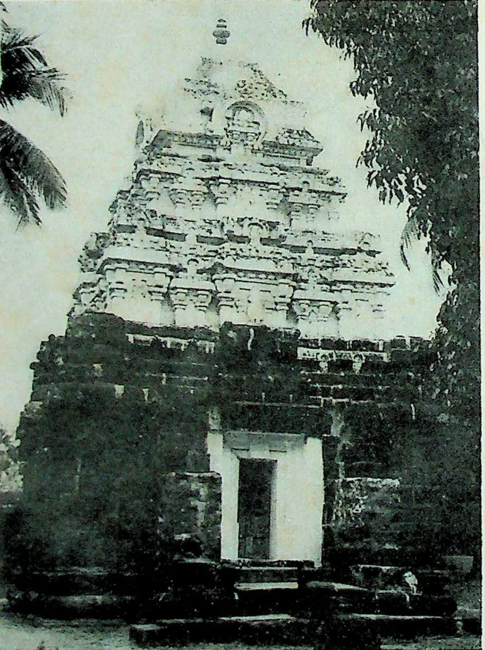
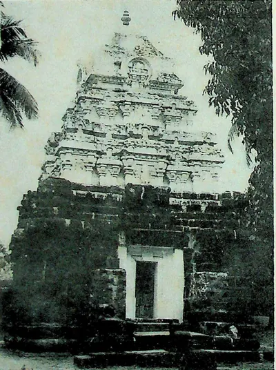 "1. Candraśēkhara Temple - Bikkavōlu" (M. Rama Rao, Eastern Calukyan Temples of Andhra Desa, 1964, Fig. 1 (PDF p. 59))Historic photograph · 1964
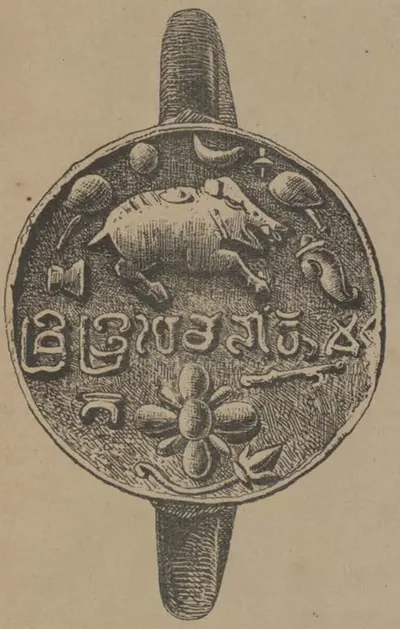 "1. Seal of the copper-plate grant of Rajaraja. Dated Saka 944" (Indian Antiquary VII, plate at pp. 252-253 (PDF p. 323))Drawing · 1878
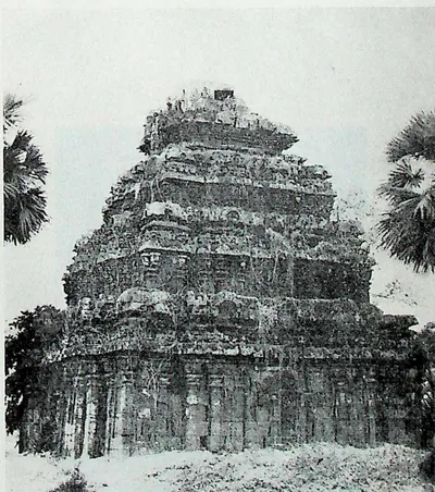 "10. Temple to the West of the High School - Bikkavōlu" (M. Rama Rao, Eastern Calukyan Temples of Andhra Desa, 1964, Fig. 10 (PDF p. 67))Historic photograph · 1964
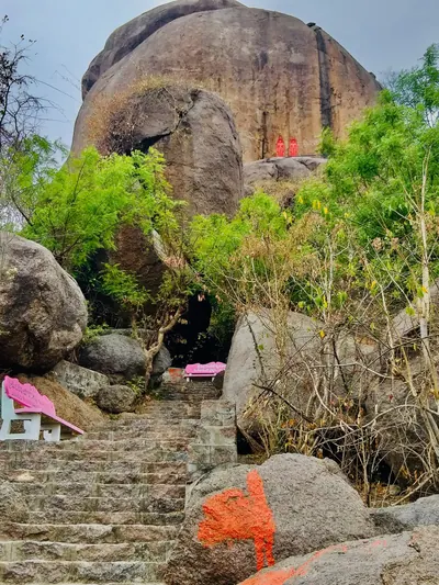 "10th century Bommalagutta Jain bas-reliefs and inscription, Telangana - 01" (photograph by P. Madhusudan, 2021, Wikimedia Commons)Photograph · 2021
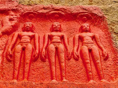 "10th century Bommalagutta Jain bas-reliefs and inscription, Telangana - 07" (photograph by P. Madhusudan, 2021, Wikimedia Commons)Photograph · 2021
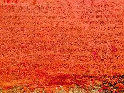 "10th century Bommalagutta Jain bas-reliefs and inscription, Telangana - 12" (photograph by P. Madhusudan, 2021, Wikimedia Commons)Photograph · 2021
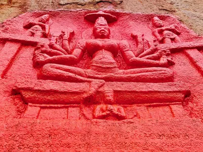 "10th century Bommalagutta Jain bas-reliefs and inscription, Telangana - 27" (photograph by P. Madhusudan, 2021, Wikimedia Commons)Photograph · 2021
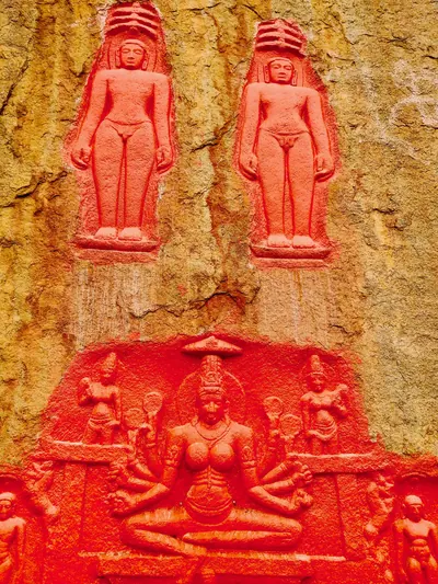 "10th century Bommalagutta Jain bas-reliefs and inscription, Telangana - 9" (photograph by P. Madhusudan, 2021, Wikimedia Commons)Photograph · 2021
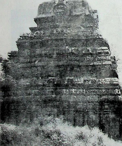 "11. Temple to the West of the High School - Bikkavōlu" (M. Rama Rao, Eastern Calukyan Temples of Andhra Desa, 1964, Fig. 11 (PDF p. 69))Historic photograph · 1964
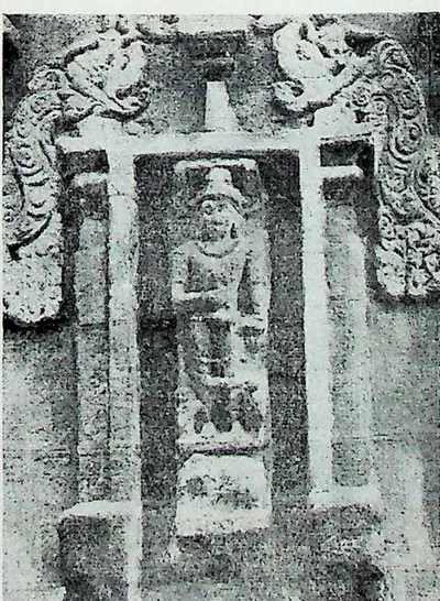 "12. Indra - Bikkavōlu" (M. Rama Rao, Eastern Calukyan Temples of Andhra Desa, 1964, Fig. 12 (PDF p. 69))Historic photograph · 1964
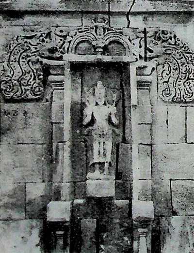 "13. Sūrya - Bikkavōlu" (M. Rama Rao, Eastern Calukyan Temples of Andhra Desa, 1964, Fig. 13 (PDF p. 71))Historic photograph · 1964
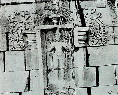 "14. Sūrya - Bikkavōlu" (M. Rama Rao, Eastern Calukyan Temples of Andhra Desa, 1964, Fig. 14 (PDF p. 71))Historic photograph · 1964
Show all (198)
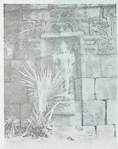 "15. Viṣṇu - Bikkavōlu" (M. Rama Rao, Eastern Calukyan Temples of Andhra Desa, 1964, Fig. 15 (PDF p. 73))Historic photograph · 1964
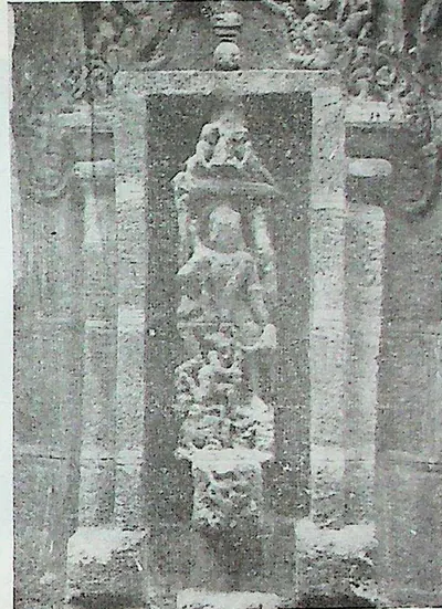 "16. Bikkavōlu - Mahiṣamardani" (M. Rama Rao, Eastern Calukyan Temples of Andhra Desa, 1964, Fig. 16 (PDF p. 73))Historic photograph · 1964
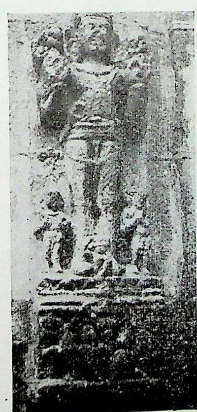 "17. Sūrya - Bikkavōlu" (M. Rama Rao, Eastern Calukyan Temples of Andhra Desa, 1964, Fig. 17 (PDF p. 73))Historic photograph · 1964
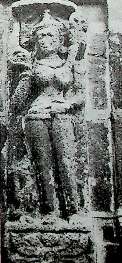 "18. Female Deity - Bikkavōlu" (M. Rama Rao, Eastern Calukyan Temples of Andhra Desa, 1964, Fig. 18 (PDF p. 73))Historic photograph · 1964
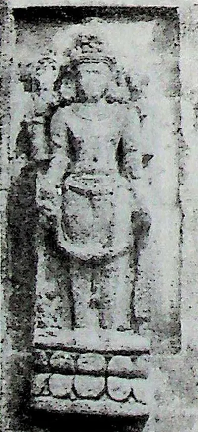 "19. Viṣṇu - Bikkavōlu" (M. Rama Rao, Eastern Calukyan Temples of Andhra Desa, 1964, Fig. 19 (PDF p. 75))Historic photograph · 1964
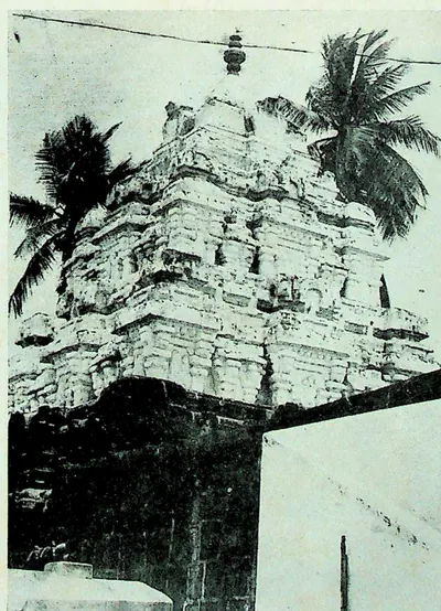 "2. Gōlingēśvara Temple - Bikkavōlu" (M. Rama Rao, Eastern Calukyan Temples of Andhra Desa, 1964, Fig. 2 (PDF p. 59))Historic photograph · 1964
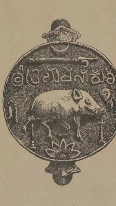 "2. Seal of the copper-plate grant of Kulottunga-Chodadeva II. Dated Saka 1056" (Indian Antiquary VII, plate at pp. 252-253 (PDF p. 323))Drawing · 1878
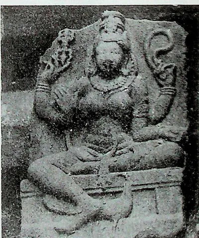 "20. Kaumārī - Bikkavōlu" (M. Rama Rao, Eastern Calukyan Temples of Andhra Desa, 1964, Fig. 20 (PDF p. 75))Historic photograph · 1964
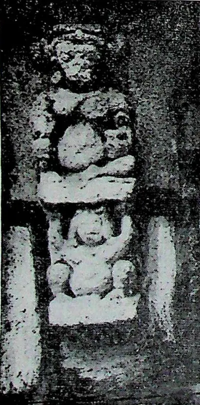 "21. Bovine Deity - Bikkavōlu" (M. Rama Rao, Eastern Calukyan Temples of Andhra Desa, 1964, Fig. 21 (PDF p. 77))Historic photograph · 1964
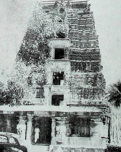 "22. West Gōpuram - Bhīmēśvara Temple - Drākshārāma" (M. Rama Rao, Eastern Calukyan Temples of Andhra Desa, 1964, Fig. 22 (PDF p. 77))Historic photograph · 1964
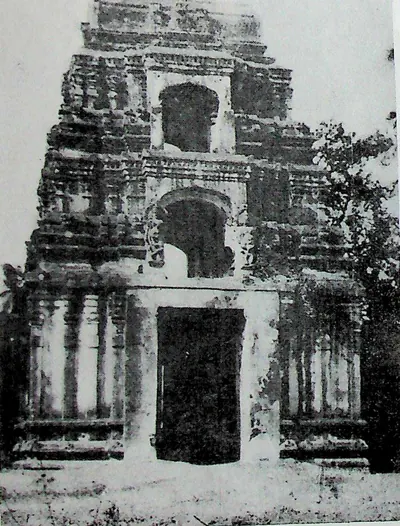 "23. North Gōpura - Bhīmēśvara Temple - Drākshārāma" (M. Rama Rao, Eastern Calukyan Temples of Andhra Desa, 1964, Fig. 23 (PDF p. 79))Historic photograph · 1964
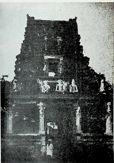 "24. South Gōpura - Bhīmēśvara Temple - Drākshārāma" (M. Rama Rao, Eastern Calukyan Temples of Andhra Desa, 1964, Fig. 24 (PDF p. 79))Historic photograph · 1964
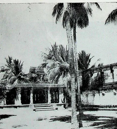 "25. Maṇṭapa in the North-east Corner of outer enclosure - Bhīmēśvara Temple, Drākshārāma" (M. Rama Rao, Eastern Calukyan Temples of Andhra Desa, 1964, Fig. 25 (PDF p. 81))Historic photograph · 1964
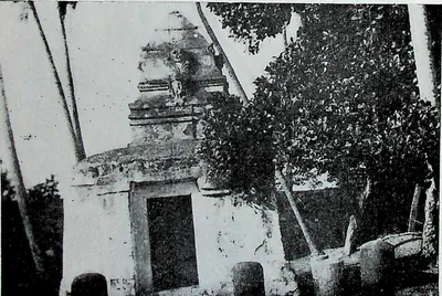 "26. Kālabhairava Shrine - Bhīmēśvara Temple, Drākshārāma" (M. Rama Rao, Eastern Calukyan Temples of Andhra Desa, 1964, Fig. 26 (PDF p. 83))Historic photograph · 1964
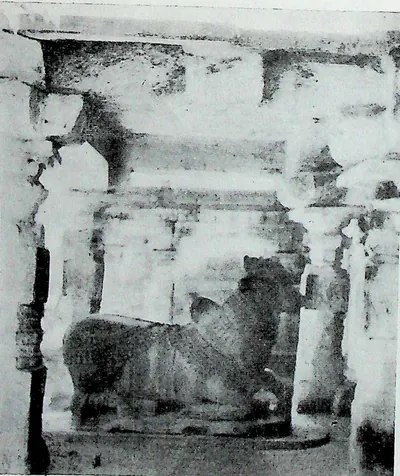 "27. Nandi Maṇṭapa - Bhīmēśvara Temple, Drākshārāma" (M. Rama Rao, Eastern Calukyan Temples of Andhra Desa, 1964, Fig. 27 (PDF p. 85))Historic photograph · 1964
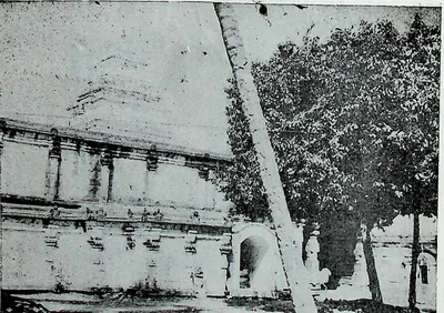 "28. Southern entrance to inner enclosure - Bhīmēśvara Temple - Drākshārāma" (M. Rama Rao, Eastern Calukyan Temples of Andhra Desa, 1964, Fig. 28 (PDF p. 87))Historic photograph · 1964
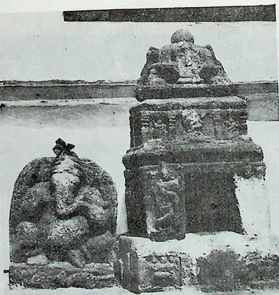 "29. Miniature Shrine - Bhīmēśvara Temple - Drākshārāma" (M. Rama Rao, Eastern Calukyan Temples of Andhra Desa, 1964, Fig. 29 (PDF p. 89))Historic photograph · 1964
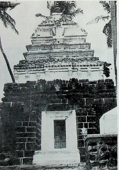 "3. Rājarājēśvara Temple - Bikkavōlu" (M. Rama Rao, Eastern Calukyan Temples of Andhra Desa, 1964, Fig. 3 (PDF p. 61))Historic photograph · 1964
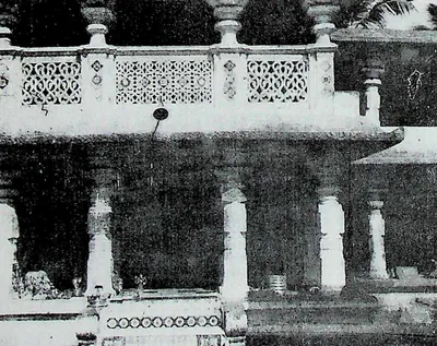 "30. Māṇikyāmba Shrine - Bhīmēśvara Temple, Drākshārāma" (M. Rama Rao, Eastern Calukyan Temples of Andhra Desa, 1964, Fig. 30 (PDF p. 91))Historic photograph · 1964
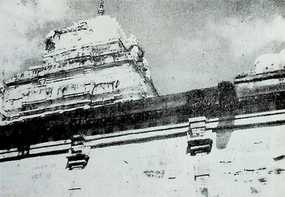 "31. Vimāna - Bhīmēśvara Temple - Drākshārāma" (M. Rama Rao, Eastern Calukyan Temples of Andhra Desa, 1964, Fig. 31 (PDF p. 93))Historic photograph · 1964
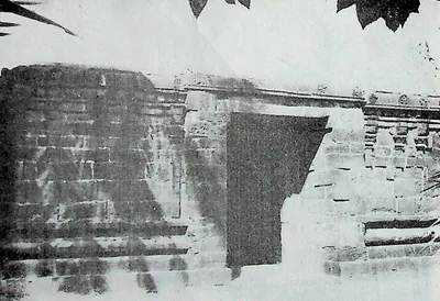 "32. Northern Entrance to Outer Enclosure - Ch. Bhīmavaram, E. G. Dt." (M. Rama Rao, Eastern Calukyan Temples of Andhra Desa, 1964, Fig. 32 (PDF p. 95))Historic photograph · 1964
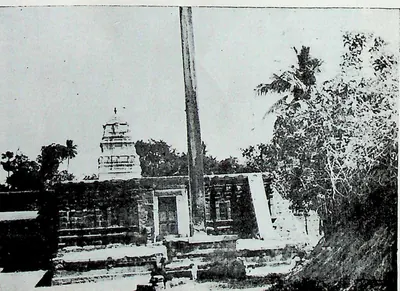 "33. Western Entrance to Outer Enclosure—Ch. Bhīmavaram, E. G. Dt." (M. Rama Rao, Eastern Calukyan Temples of Andhra Desa, 1964, Fig. 33 (PDF p. 97))Historic photograph · 1964
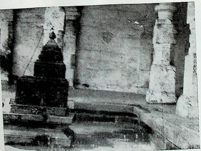 "34. Miniature Temple - Ch. Bhīmēśvaram, E. G. Dt." (M. Rama Rao, Eastern Calukyan Temples of Andhra Desa, 1964, Fig. 34 (PDF p. 99))Historic photograph · 1964
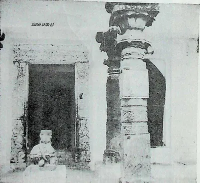 "35. Nandi Maṇṭapa - Ch Bhīmavaram, E. G. Dt." (M. Rama Rao, Eastern Calukyan Temples of Andhra Desa, 1964, Fig. 35 (PDF p. 101))Historic photograph · 1964
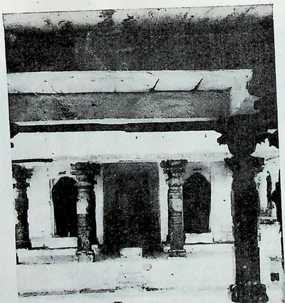 "36. Entrance to Groundfloor—Ch. Bhīmēśvara Temple—Ch. Bhīmavaram, E. G. Dt." (M. Rama Rao, Eastern Calukyan Temples of Andhra Desa, 1964, Fig. 36 (PDF p. 103))Historic photograph · 1964
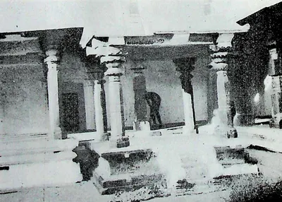 "37. Maṇṭapa in the North-east Corner—Ch. Bhīmavaram, E. G. Dt." (M. Rama Rao, Eastern Calukyan Temples of Andhra Desa, 1964, Fig. 37 (PDF p. 105))Historic photograph · 1964
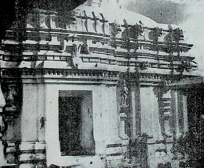 "38. South Wall - Sōmēśvara Temple - Sōmārāma" (M. Rama Rao, Eastern Calukyan Temples of Andhra Desa, 1964, Fig. 38 (PDF p. 107))Historic photograph · 1964
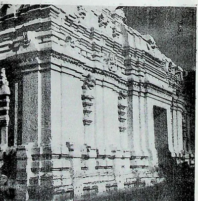 "39. East & North Wall - Sōmēśvara Temple - Sōmārāma" (M. Rama Rao, Eastern Calukyan Temples of Andhra Desa, 1964, Fig. 39 (PDF p. 109))Historic photograph · 1964
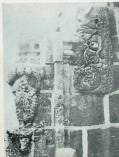 "4. Wall Projection - Candraśēkhara Temple - Bikkavōlu" (M. Rama Rao, Eastern Calukyan Temples of Andhra Desa, 1964, Fig. 4 (PDF p. 61))Historic photograph · 1964
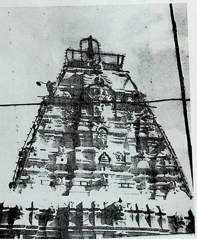 "40. Vimāna - Sōmēśwara Temple - Sōmārāma, Bhimavaram, W. G. Dt." (M. Rama Rao, Eastern Calukyan Temples of Andhra Desa, 1964, Fig. 40 (PDF p. 111))Historic photograph · 1964
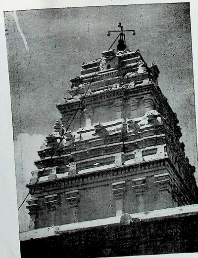 "41. Vimāna - Rāmalingēśwara Temple - Pālakol" (M. Rama Rao, Eastern Calukyan Temples of Andhra Desa, 1964, Fig. 41 (PDF p. 113))Historic photograph · 1964
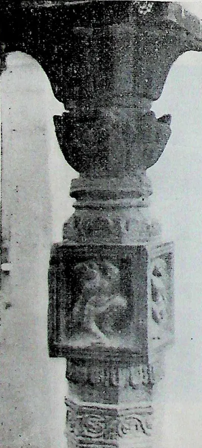 "42. Pillar with Sculpture - Pālakollu" (M. Rama Rao, Eastern Calukyan Temples of Andhra Desa, 1964, Fig. 42 (PDF p. 115))Historic photograph · 1964
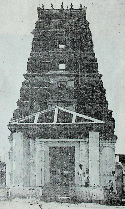 "43. Amarēśvara Temple - Amarāvati - South Gōpura" (M. Rama Rao, Eastern Calukyan Temples of Andhra Desa, 1964, Fig. 43 (PDF p. 115))Historic photograph · 1964
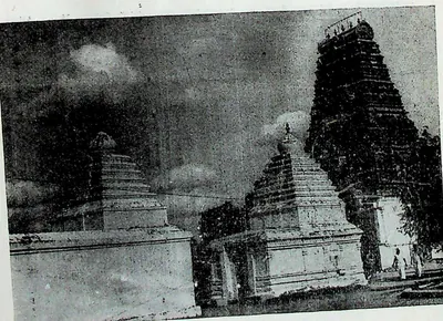 "44. Outer Enclosure - Amarāvati" (M. Rama Rao, Eastern Calukyan Temples of Andhra Desa, 1964, Fig. 44 (PDF p. 117))Historic photograph · 1964
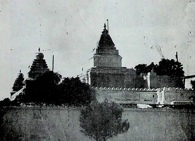 "45. Amarēśvara Temple—Amarāvati—Inner Enclosure" (M. Rama Rao, Eastern Calukyan Temples of Andhra Desa, 1964, Fig. 45 (PDF p. 119))Historic photograph · 1964
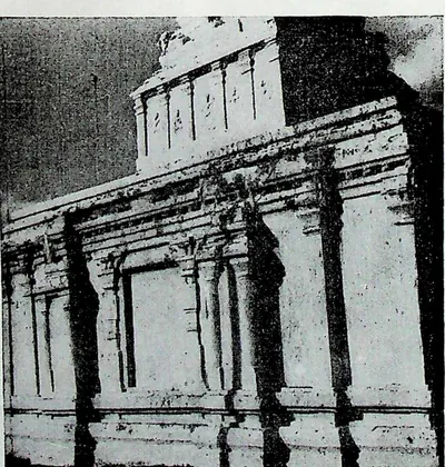 "46. Walls of the Temple - Amarāvati" (M. Rama Rao, Eastern Calukyan Temples of Andhra Desa, 1964, Fig. 46 (PDF p. 121))Historic photograph · 1964
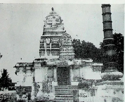 "47. Bhīmēśvara Temple - Chēbrōlu - Front view" (M. Rama Rao, Eastern Calukyan Temples of Andhra Desa, 1964, Fig. 47 (PDF p. 123))Historic photograph · 1964
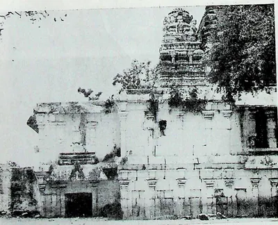 "48. Bhīmēśvara Temple - Chēbrōlu - North Side view" (M. Rama Rao, Eastern Calukyan Temples of Andhra Desa, 1964, Fig. 48 (PDF p. 125))Historic photograph · 1964
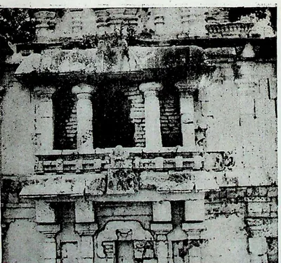 "49. Bhīmēśvara Temple - Chēbrōlu–Central Part of North Wall" (M. Rama Rao, Eastern Calukyan Temples of Andhra Desa, 1964, Fig. 49 (PDF p. 127))Historic photograph · 1964
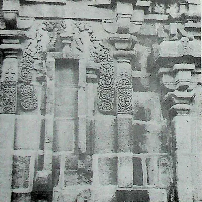 "5. Back Wall - Candraśēkhara Temple - Bikkavōlu" (M. Rama Rao, Eastern Calukyan Temples of Andhra Desa, 1964, Fig. 5 (PDF p. 63))Historic photograph · 1964
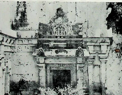 "50. Bhīmēśvara Temple - Chēbrōlu - Projection of South Wall" (M. Rama Rao, Eastern Calukyan Temples of Andhra Desa, 1964, Fig. 50 (PDF p. 129))Historic photograph · 1964
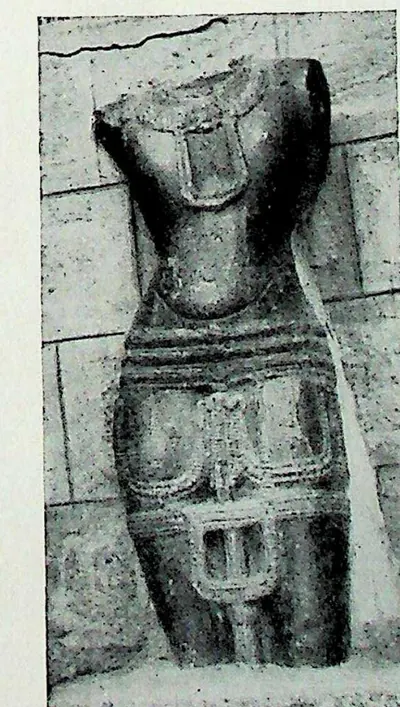 "51. Kumāra - Chēbrōlu" (M. Rama Rao, Eastern Calukyan Temples of Andhra Desa, 1964, Fig. 51 (PDF p. 129))Historic photograph · 1964
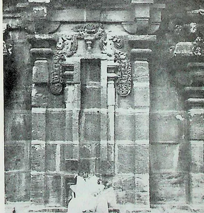 "6. Left Wall - Candraśēkhara Temple - Bikkavōlu" (M. Rama Rao, Eastern Calukyan Temples of Andhra Desa, 1964, Fig. 6 (PDF p. 63))Historic photograph · 1964
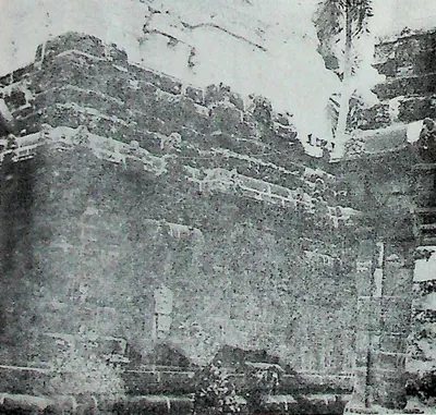 "7. Left Wall - Gōlingēśvara Temple - Bikkavōlu" (M. Rama Rao, Eastern Calukyan Temples of Andhra Desa, 1964, Fig. 7 (PDF p. 65))Historic photograph · 1964
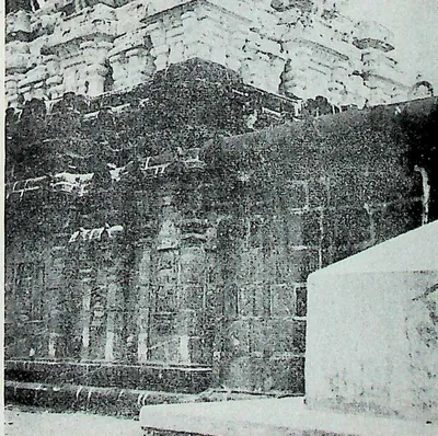 "8. Right Wall - Gōlingēśvara Temple - Bikkavōlu" (M. Rama Rao, Eastern Calukyan Temples of Andhra Desa, 1964, Fig. 8 (PDF p. 65))Historic photograph · 1964
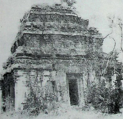 "9. Temple on the Vūlapalli Road - Bikkavōlu" (M. Rama Rao, Eastern Calukyan Temples of Andhra Desa, 1964, Fig. 9 (PDF p. 67))Historic photograph · 1964
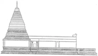 "A side elevation of Bhimeshwar Temple" (N. Venkataramanayya, The Chalukyas of L(V)emulavada, 1953, plate 8)Drawing · 1953
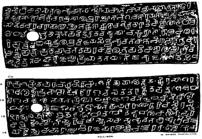 "A.—Ederu Plates of Vijayaditya II.", plates i and ii a (Epigraphia Indica V, plate between pp. 120 and 121 (PDF p. 166))Inscription rubbing · 1899
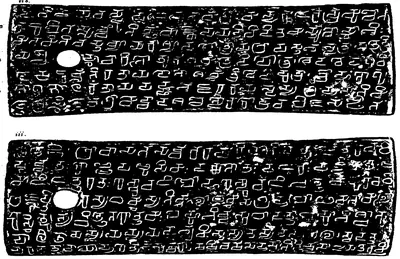 "A.—Ederu Plates of Vijayaditya II.", plates ii b and iii (Epigraphia Indica V, plate between pp. 120 and 121 (PDF p. 167))Inscription rubbing · 1899
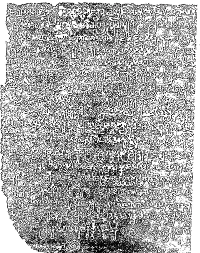 "Aihole Inscription of Pulikesin II.—A.D. 634-35", left part, lines 1-19 (Epigraphia Indica VI, plate between pp. 6 and 7, first page (PDF p. 18 of the archive.org scan in.ernet.dli.2015.56212))Inscription rubbing · 1901
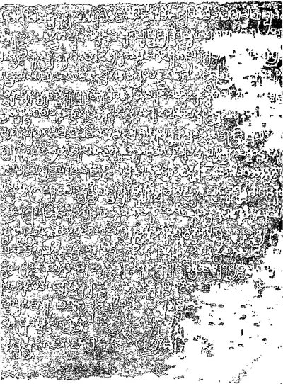 "Aihole Inscription of Pulikesin II.—A.D. 634-35", middle part (Epigraphia Indica VI, plate between pp. 6 and 7, second page (PDF p. 19 of scan in.ernet.dli.2015.56212))Inscription rubbing · 1901
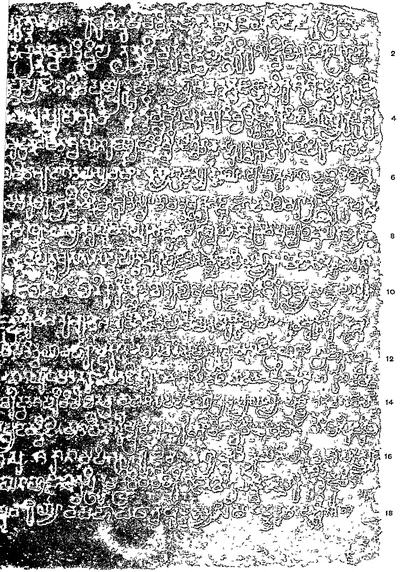 "Aihole Inscription of Pulikesin II.—A.D. 634-35", right part, lines 1-19 (Epigraphia Indica VI, plate between pp. 6 and 7, third page (PDF p. 20 of scan in.ernet.dli.2015.56212))Inscription rubbing · 1901
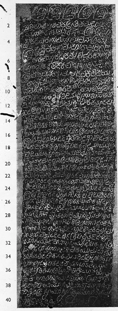 "Alampur inscription of Bhuvanaikamalla" (A Corpus of Inscriptions in the Telingana Districts, Part III, Plate 34, left (PDF p. 224))Inscription rubbing · 1956
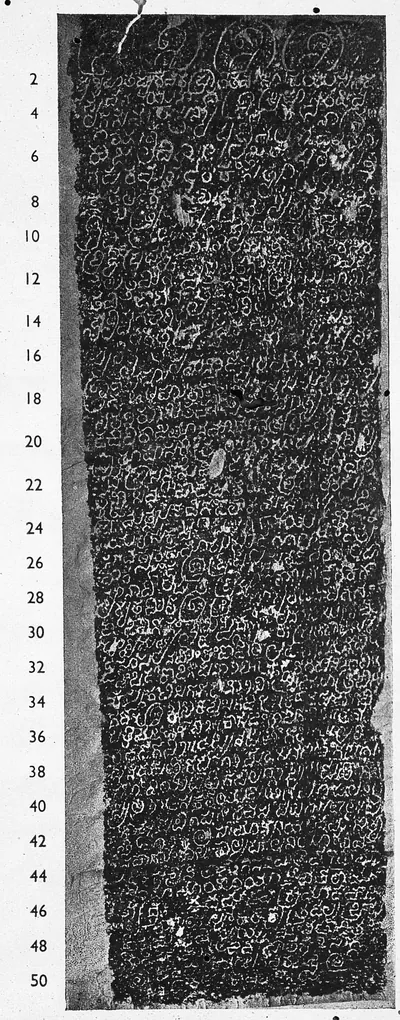 "Alampur inscription of Trailokyamalla" (A Corpus of Inscriptions in the Telingana Districts, Part III, Plate 34, right (PDF p. 224))Inscription rubbing · 1956
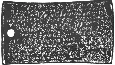 "Alas Plates of the Yuvaraja Govinda II.—Saka-Samvat 692." side i (Epigraphia Indica VI, plate with No. 18; PDF p. 265 of the archive.org scan EpigraphiaIndicaVol6)Inscription rubbing · 1901
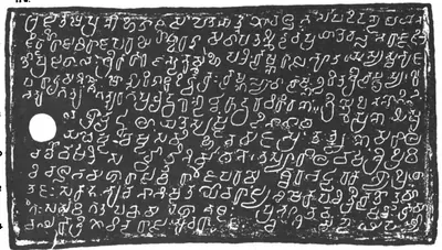 "Alas Plates of the Yuvaraja Govinda II.—Saka-Samvat 692." side iia (Epigraphia Indica VI, plate with No. 18; PDF p. 265 of the archive.org scan EpigraphiaIndicaVol6)Inscription rubbing · 1901
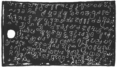 "Alas Plates of the Yuvaraja Govinda II.—Saka-Samvat 692." side iib (Epigraphia Indica VI, plate with No. 18; PDF p. 266 of the archive.org scan EpigraphiaIndicaVol6)Inscription rubbing · 1901
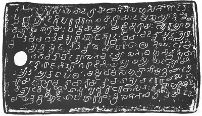 "Alas Plates of the Yuvaraja Govinda II.—Saka-Samvat 692." side iii (Epigraphia Indica VI, plate with No. 18; PDF p. 266 of the archive.org scan EpigraphiaIndicaVol6)Inscription rubbing · 1901
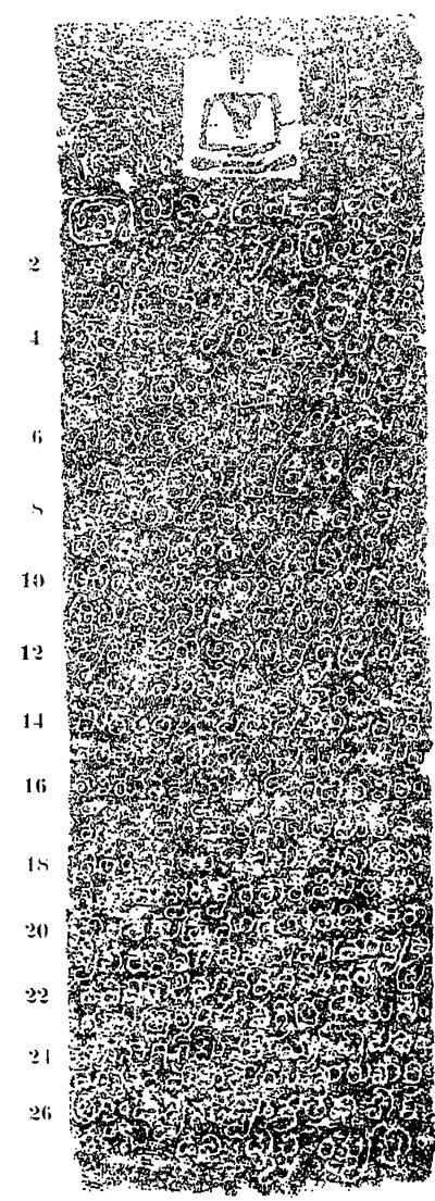 "Anmakonda Inscription of Prola; The Chalukya-Vikrama Year Forty-Two", east face (Epigraphia Indica IX, plate between pp. 262 and 263 (PDF p. 326))Inscription rubbing · 1908
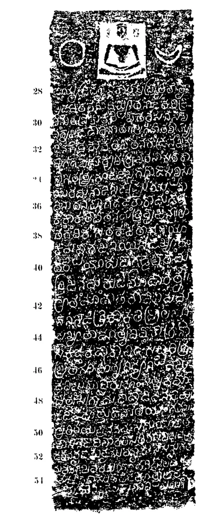 "Anmakonda Inscription of Prola; The Chalukya-Vikrama Year Forty-Two", north face (Epigraphia Indica IX, plate between pp. 262 and 263 (PDF p. 326))Inscription rubbing · 1908
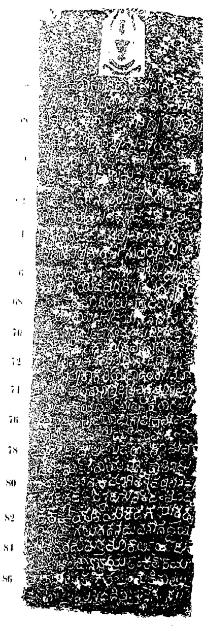
 "Anmakonda Inscription of Prola; The Chalukya-Vikrama Year Forty-Two", south face (Epigraphia Indica IX, plate between pp. 262 and 263 (PDF p. 327))Inscription rubbing · 1908
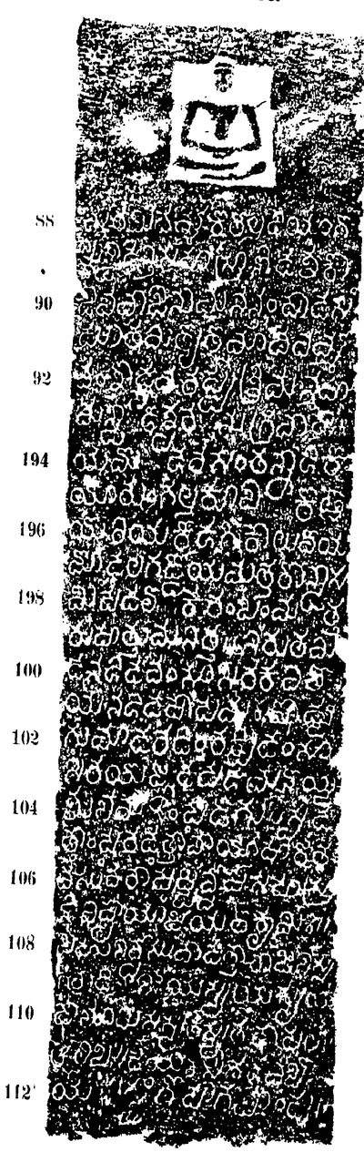
 "Anmakonda Inscription of Prola; The Chalukya-Vikrama Year Forty-Two", west face (Epigraphia Indica IX, plate between pp. 262 and 263 (PDF p. 327))Inscription rubbing · 1908
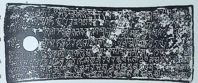 "Arasavalli Plates of Vajrahasta (III), Saka 982", first plate (lines 1-8) (Epigraphia Indica XXXII, Plate I between pp. 312 and 313, PDF p. 433)Inscription rubbing · 1959
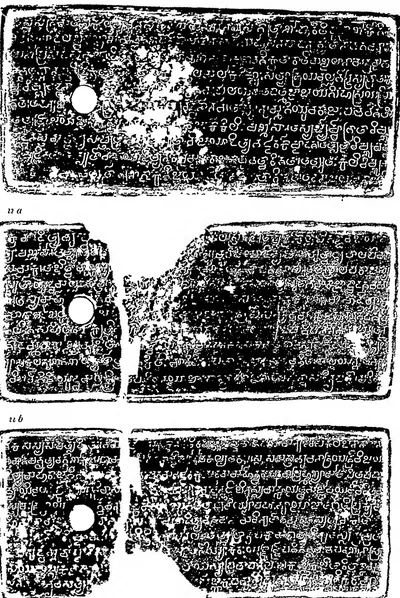 "Arumbaka Plates of Badapa", plates i, ii a and ii b (Epigraphia Indica XIX, plate between pp. 142 and 143 (PDF p. 200))Inscription rubbing · 1928
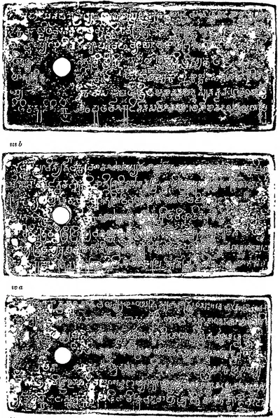 "Arumbaka Plates of Badapa", plates iii a, iii b and iv a (Epigraphia Indica XIX, plate between pp. 142 and 143 (PDF p. 201))Inscription rubbing · 1928
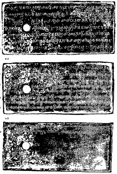 "Arumbaka Plates of Badapa", plates iv b, v a and v b (Epigraphia Indica XIX, plate between pp. 144 and 145 (PDF p. 204))Inscription rubbing · 1928
 "B.—Masulipatam (?) Plates of Vijayaditya III", plates i and ii a (Epigraphia Indica V, plate between pp. 124 and 125 (PDF p. 172))Inscription rubbing · 1899
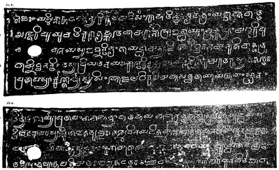 "B.—Masulipatam (?) Plates of Vijayaditya III", plates ii b and iv a (Epigraphia Indica V, plate between pp. 124 and 125 (PDF p. 173))Inscription rubbing · 1899
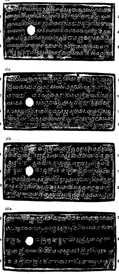 "Bezvada Plates of Bhima I.", plates i b, ii a, ii b and iii a (Epigraphia Indica V, plate between pp. 128 and 129 (PDF p. 178))Inscription rubbing · 1899
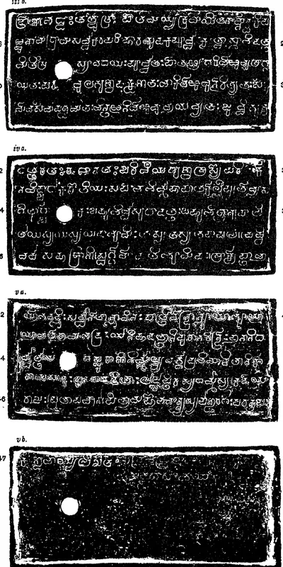 "Bezvada Plates of Bhima I.", plates iii b, iv a, v a and v b (Epigraphia Indica V, plate between pp. 128 and 129 (PDF p. 179))Inscription rubbing · 1899
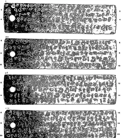 "Chendalur plates of Sarvalokasraya.—A.D. 673", plates i, ii a, ii b and iii a (Epigraphia Indica VIII, plate between pp. 238 and 239 (PDF p. 301))Inscription rubbing · 1906
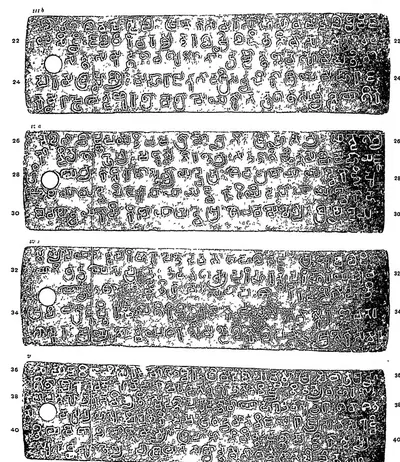 "Chendalur plates of Sarvalokasraya.—A.D. 673", plates iii b, iv a, iv b and v (Epigraphia Indica VIII, plate between pp. 238 and 239 (PDF p. 302))Inscription rubbing · 1906
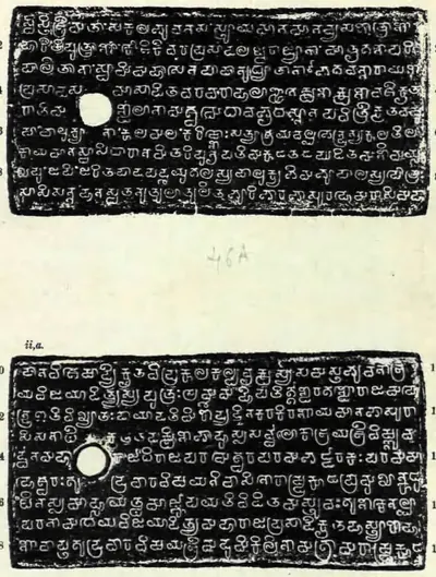 "Chevuru Plates of Eastern Chalukya Amma I", plates i and ii a (Epigraphia Indica XXVII, plate between pp. 46 and 47 (PDF p. 86))Inscription rubbing · 1956
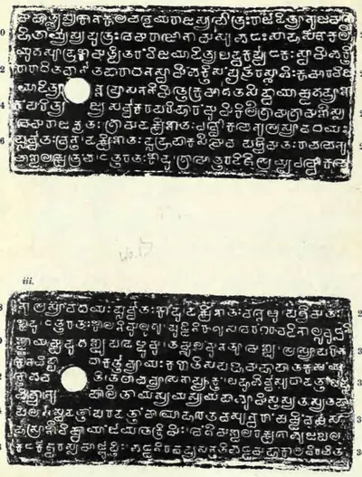 "Chevuru Plates of Eastern Chalukya Amma I", plates ii b and iii (Epigraphia Indica XXVII, plate between pp. 46 and 47 (PDF p. 87))Inscription rubbing · 1956
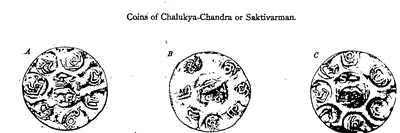 "Coins of Chalukya-Chandra or Saktivarman." A, B and C, full size (Indian Antiquary XIX, plate facing p. 78 (PDF p. 85))Coin · 1890
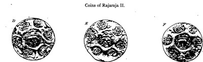 "Coins of Rajaraja II." D, E and F, full size (Indian Antiquary XIX, plate facing p. 78 (PDF p. 85))Coin · 1890
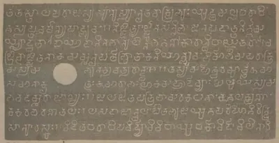 "Copper-plate grant of the Eastern Chalukya dynasty. Dated about Saka 867", plate ii b (Indian Antiquary VII, folding plate to face p. 16 (PDF p. 28))Inscription rubbing · 1878
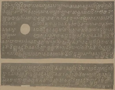 "Copper-plate grant of the Eastern Chalukya dynasty. Dated about Saka 867", plates i and ii a (Indian Antiquary VII, plate to face p. 16 (PDF p. 27))Inscription rubbing · 1878
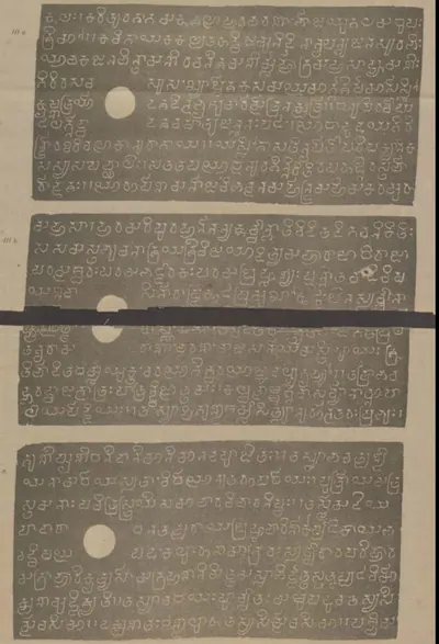 "Copper-plate grant of the Eastern Chalukya dynasty. Dated about Saka 867", plates iii a, iii b and iv a (Indian Antiquary VII, folding plate (PDF p. 29))Inscription rubbing · 1878
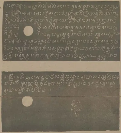 "Copper-plate grant of the Eastern Chalukya dynasty. Dated about Saka 867", plates iv b and v (Indian Antiquary VII, plate (PDF p. 30))Inscription rubbing · 1878
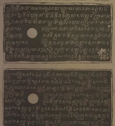 "Copper-plate grant of the Eastern Chalukya dynasty" (Diggubarru grant of Bhima II), plates i and ii a (Indian Antiquary XIII, plates at pp. 214-215 (PDF p. 247))Inscription rubbing · 1884
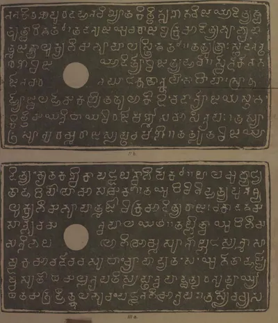 "Copper-plate grant of the Eastern Chalukya dynasty" (Diggubarru grant of Bhima II), plates ii b and iii a (Indian Antiquary XIII, plates at pp. 214-215 (PDF p. 248))Inscription rubbing · 1884
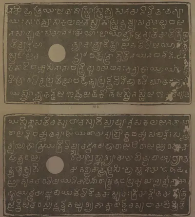 "Copper-plate grant of the Eastern Chalukya dynasty" (Diggubarru grant of Bhima II), plates iii b and iv a (Indian Antiquary XIII, plates at pp. 214-215 (PDF p. 249))Inscription rubbing · 1884
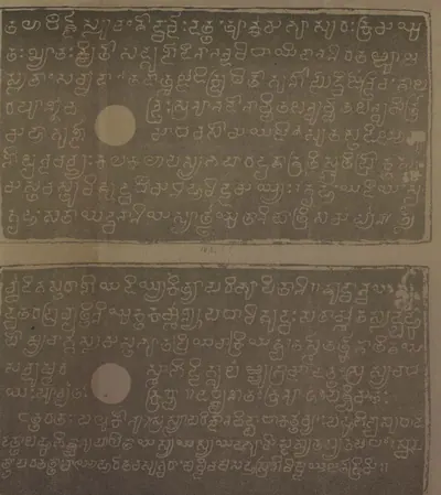 "Copper-plate grant of the Eastern Chalukya dynasty" (Diggubarru grant of Bhima II), plates iv b and v (Indian Antiquary XIII, plates at pp. 214-215 (PDF p. 250))Inscription rubbing · 1884
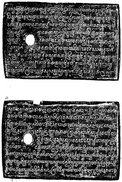 "D.—Masulipatam Plates of Amma I.", plates ii a and iii (Epigraphia Indica V, plate between pp. 132 and 133 (PDF p. 184))Inscription rubbing · 1899
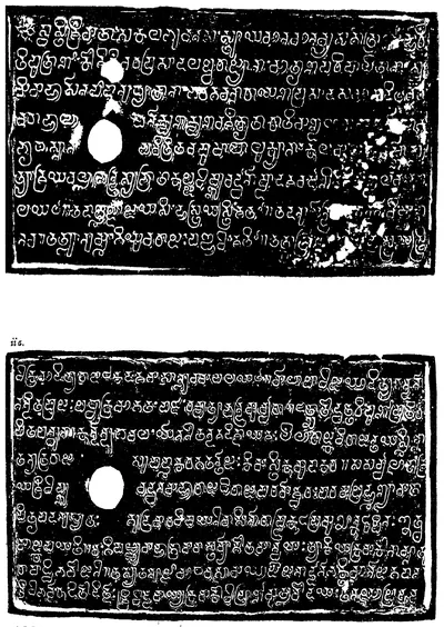 "E.—Masulipatam (?) Plates of Chalukya-Bhima II.", plates i and ii a (Epigraphia Indica V, plate between pp. 136 and 137 (PDF p. 190))Inscription rubbing · 1899
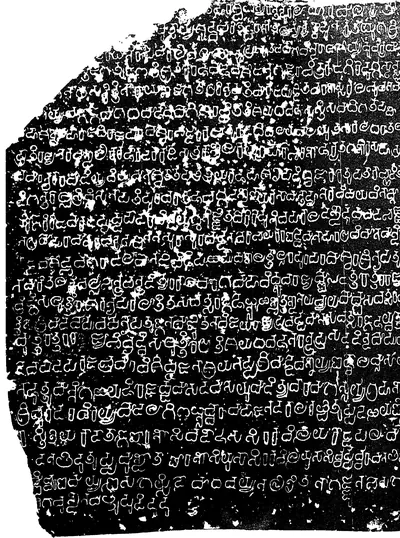 "E.—Sirur Inscription of Amoghavarsha I.—A.D. 866." (Epigraphia Indica VII, plate to face p. 206; PDF p. 253 of the archive.org scan epigraphiaindica014351mbp)Inscription rubbing · 1903
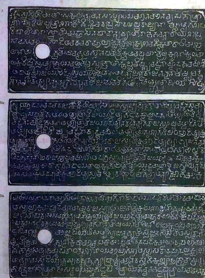 "Eastern Chalukya grant of Amma II.", plates i, ii a and ii b (Indian Antiquary XIII, plate at pp. 248-249 (PDF p. 285))Inscription rubbing · 1884
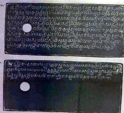 "Eastern Chalukya grant of Amma II.", plates iii a and iii b (Indian Antiquary XIII, plate at pp. 248-249 (PDF p. 286))Inscription rubbing · 1884
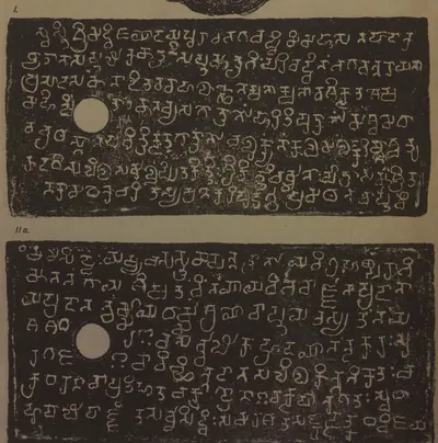 "Eastern Chalukya grant of the 18th year of Jayasimha I.", plates i and ii a (Indian Antiquary XIII, plate at p. 138 (PDF p. 159))Inscription rubbing · 1884
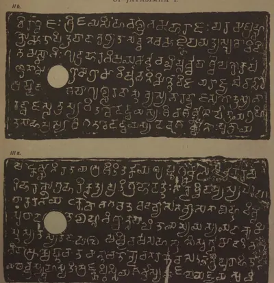 "Eastern Chalukya grant of the 18th year of Jayasimha I.", plates ii b and iii a (Indian Antiquary XIII, plate at p. 139 (PDF p. 160))Inscription rubbing · 1884
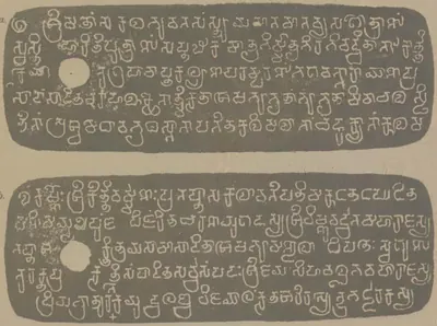 "Eastern Chalukya grant of the fifth year of Vishnuvardhana II.", plates i a and i b (Indian Antiquary VII, plate at p. 191 (PDF p. 248))Inscription rubbing · 1878
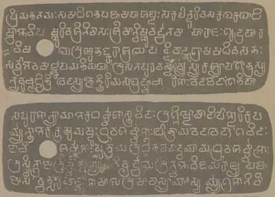 "Eastern Chalukya grant of the fifth year of Vishnuvardhana II.", plates ii a and ii b (Indian Antiquary VII, plate at p. 190 (PDF p. 247))Inscription rubbing · 1878
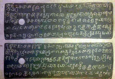 "Eastern Chalukya grant of Vishnuvardhana IV or V.", plates i and ii a (Indian Antiquary XIII, plate at pp. 186-187 (PDF p. 213))Inscription rubbing · 1884
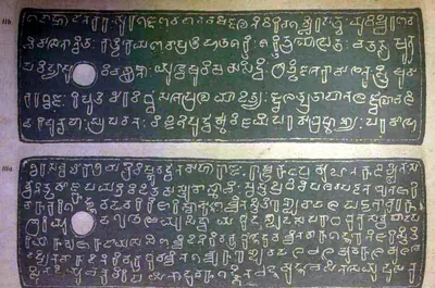 "Eastern Chalukya grant of Vishnuvardhana IV or V.", plates ii b and iii a (Indian Antiquary XIII, plate at pp. 186-187 (PDF p. 214))Inscription rubbing · 1884
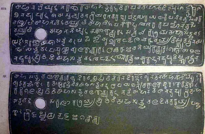 "Eastern Chalukya grant of Vishnuvardhana IV or V.", plates iii b and iv (Indian Antiquary XIII, plate at pp. 186-187 (PDF p. 215))Inscription rubbing · 1884
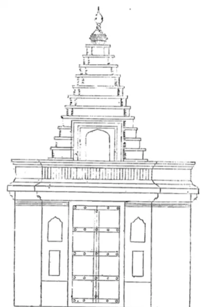 "Entrance of Rajeshwar Temple" (N. Venkataramanayya, The Chalukyas of L(V)emulavada, 1953, plate 10)Drawing · 1953
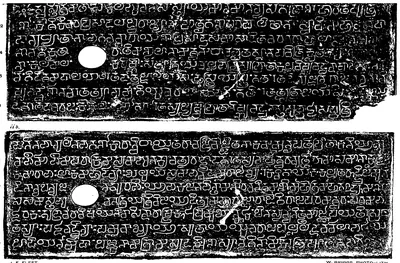 "F.—Masulipatam Plates of Amma II.", plates i and ii b (Epigraphia Indica V, plate between pp. 140 and 141 (PDF p. 196))Inscription rubbing · 1899
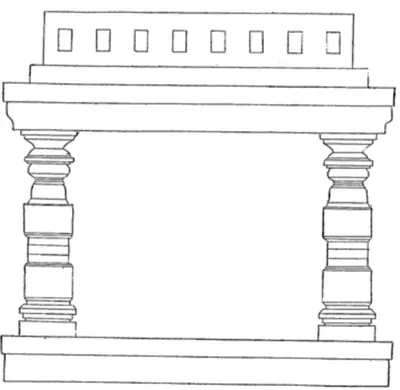 "Front elevation of Kalyan Mandap, Rajeshwar Temple" (N. Venkataramanayya, The Chalukyas of L(V)emulavada, 1953, plate 10)Drawing · 1953
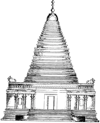 "Front view of Bhimeshwar Temple" (N. Venkataramanayya, The Chalukyas of L(V)emulavada, 1953, plate 7)Drawing · 1953
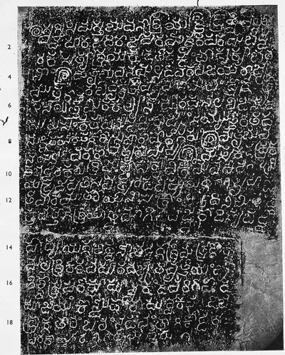 "Gangapuram inscription of Tribhuvanamalla" (A Corpus of Inscriptions in the Telingana Districts, Part III, Plate 33 (PDF p. 223))Inscription rubbing · 1956
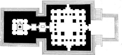 "Ground plan of Bhimeshwar Temple" (N. Venkataramanayya, The Chalukyas of L(V)emulavada, 1953, plate 9)Plan · 1953
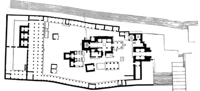 "Ground plan of Rajeshwar Temple" (N. Venkataramanayya, The Chalukyas of L(V)emulavada, 1953, plate 11)Plan · 1953
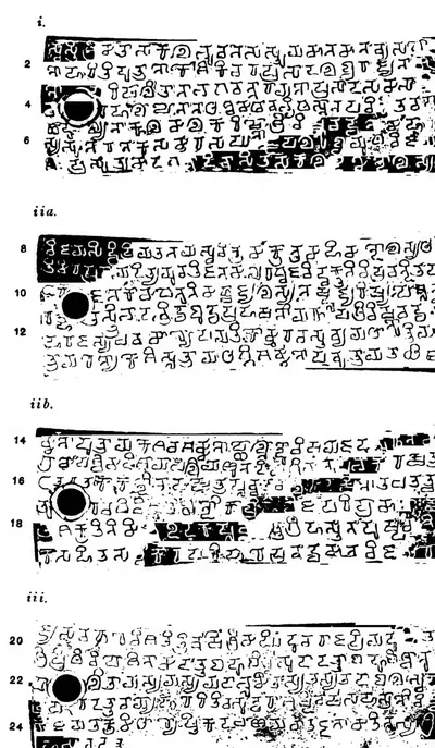 "Ipur plates of Vishnuvardhana III.", plates i, ii a, ii b and iii (Epigraphia Indica XVIII, plate between pp. 60 and 61 (PDF p. 94))Inscription rubbing · 1926
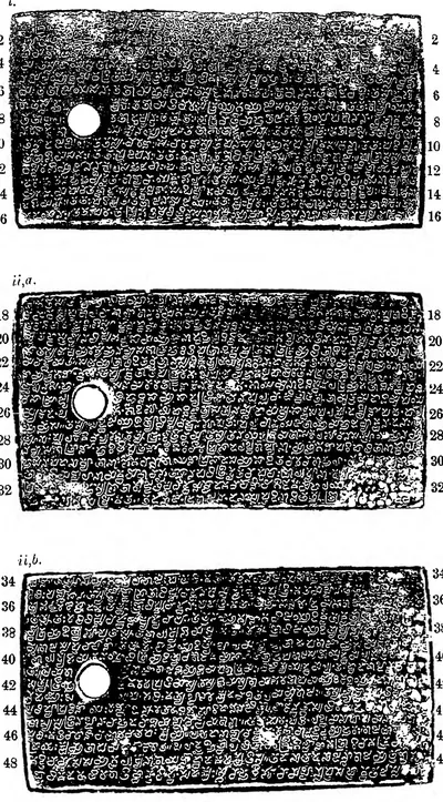 "Kalidindi Grant of Eastern Chalukya Rajaraja I", plates i, ii a and ii b (Epigraphia Indica XXIX, Plate I, between pp. 66 and 67 (PDF p. 140))Inscription rubbing · 1952
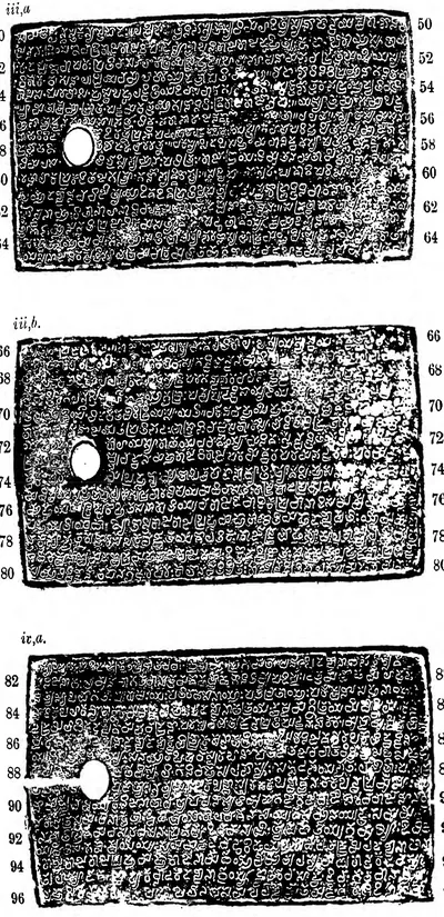 "Kalidindi Grant of Eastern Chalukya Rajaraja I", plates iii a, iii b and iv a (Epigraphia Indica XXIX, Plate I, between pp. 66 and 67 (PDF p. 141))Inscription rubbing · 1952
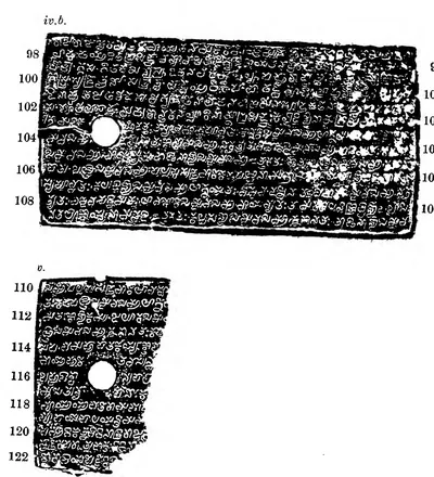 "Kalidindi Grant of Eastern Chalukya Rajaraja I", plates iv b and v (Epigraphia Indica XXIX, Plate II, between pp. 70 and 71 (PDF p. 146))Inscription rubbing · 1952
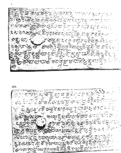 "Kaluchumbarru Grant of Vijayaditya-Amma II.", plates i and iii b (Epigraphia Indica VII, plate between pp. 186 and 187 (PDF p. 228))Inscription rubbing · 1903
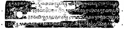 "Kopparam Plates of Pulakesin II", plate i (Epigraphia Indica XVIII, plate between pp. 258 and 259 (PDF p. 325))Inscription rubbing · 1926
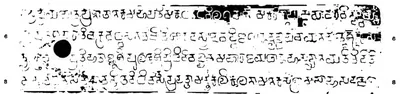 "Kopparam Plates of Pulakesin II", plate ii a (Epigraphia Indica XVIII, plate between pp. 258 and 259 (PDF p. 325))Inscription rubbing · 1926
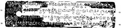 "Kopparam Plates of Pulakesin II", plate ii b (Epigraphia Indica XVIII, plate between pp. 258 and 259 (PDF p. 325))Inscription rubbing · 1926
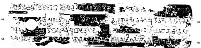 "Kopparam Plates of Pulakesin II", plate iii (Epigraphia Indica XVIII, plate between pp. 258 and 259 (PDF p. 325))Inscription rubbing · 1926
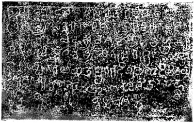 "Kuruvagatta Inscription" (N. Venkataramanayya, The Chalukyas of L(V)emulavada, 1953, plate 1)Inscription rubbing · 1953
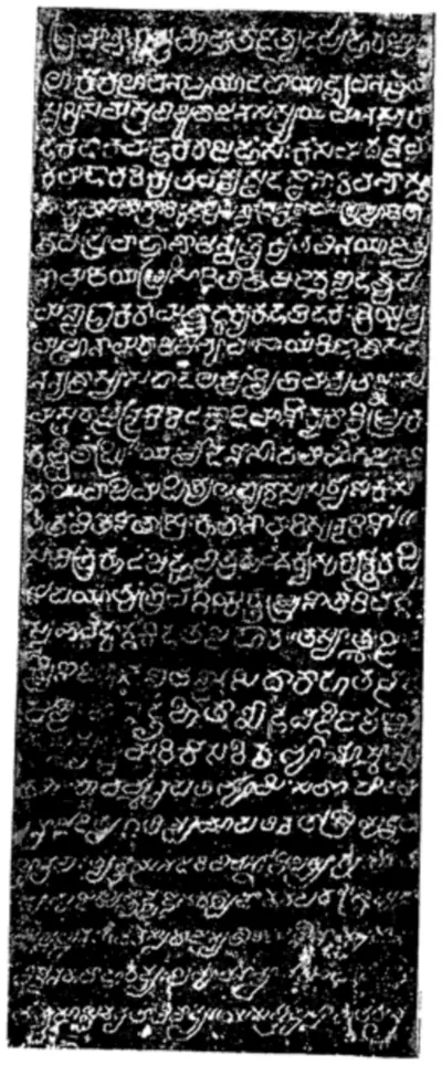 "L(V)ēmulavāḍa Inscription. First Side" (N. Venkataramanayya, The Chalukyas of L(V)emulavada, 1953, plate 2)Inscription rubbing · 1953
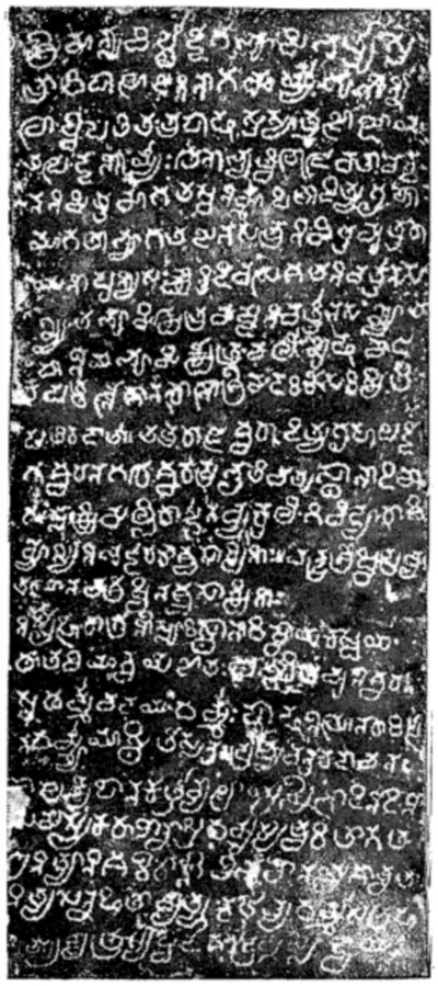 "L(V)ēmulavāḍa Inscription. Fourth Side" (N. Venkataramanayya, The Chalukyas of L(V)emulavada, 1953, plate 5)Inscription rubbing · 1953
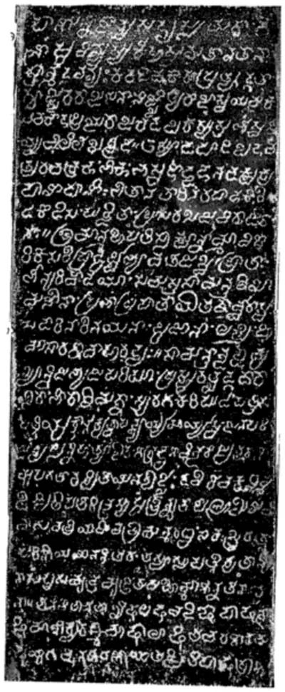 "L(V)ēmulavāḍa Inscription. Second Side" (N. Venkataramanayya, The Chalukyas of L(V)emulavada, 1953, plate 3)Inscription rubbing · 1953
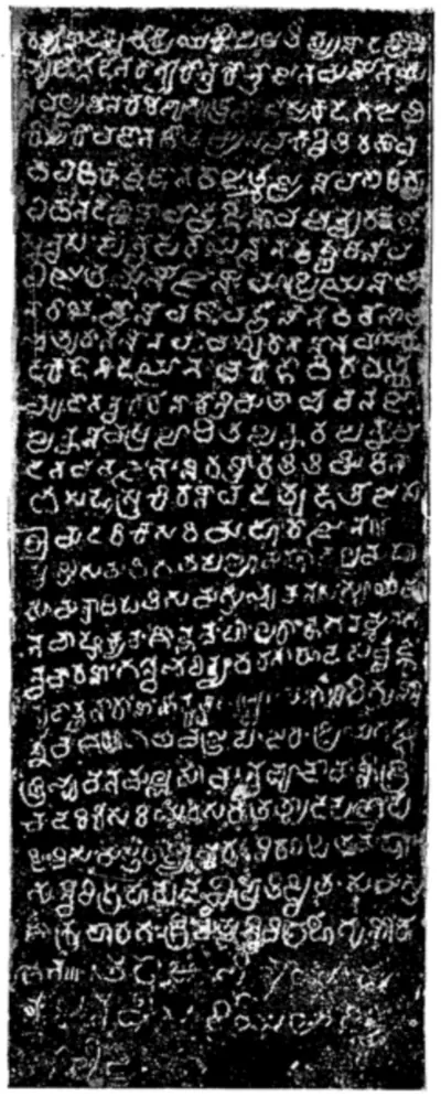 "L(V)ēmulavāḍa Inscription. Third Side" (N. Venkataramanayya, The Chalukyas of L(V)emulavada, 1953, plate 4)Inscription rubbing · 1953
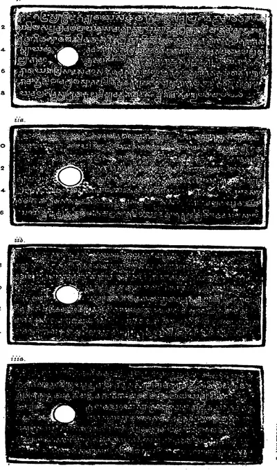 "Maliyapundi grant of Ammaraja II.", plates i, ii a, ii b and iii a (Epigraphia Indica IX, plate between pp. 52 and 53 (PDF p. 75))Inscription rubbing · 1908
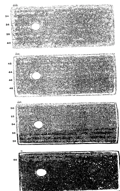 "Maliyapundi grant of Ammaraja II.", plates iii b, iv a, iv b and v (Epigraphia Indica IX, plate between pp. 52 and 53 (PDF p. 76))Inscription rubbing · 1908
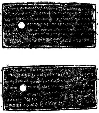 "Mangallu Grant of Amma II", plates i and ii a (Epigraphia Indica XXXI, Plate I (PDF p. 76))Inscription rubbing · 1960
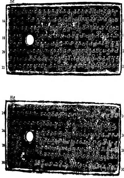 "Mangallu Grant of Amma II", plates ii b and iii a (Epigraphia Indica XXXI, Plate I (PDF p. 77))Inscription rubbing · 1960
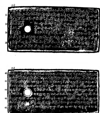 "Mangallu Grant of Amma II", plates iii b and iv a (Epigraphia Indica XXXI, Plate II (PDF p. 80))Inscription rubbing · 1960
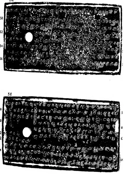 "Mangallu Grant of Amma II", plates iv b and v a (Epigraphia Indica XXXI, Plate II (PDF p. 81))Inscription rubbing · 1960
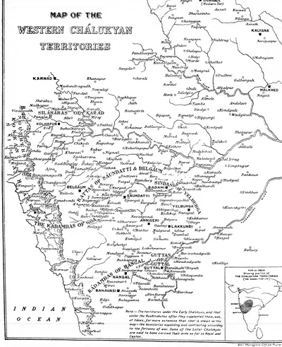 "Map of the Western Chalukyan Territories" (H. Cousens, The Chalukyan Architecture of the Kanarese Districts, 1926, map before the list of plates (PDF p. 5))Map · 1926
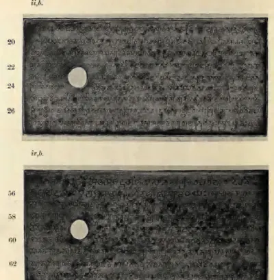 "Masulipatam Plates of Ammaraja II.—(I). (From Photographs)", plates ii b and iv b (Epigraphia Indica XXIV, plate between pp. 274 and 275 (PDF p. 345))Historic photograph · 1938
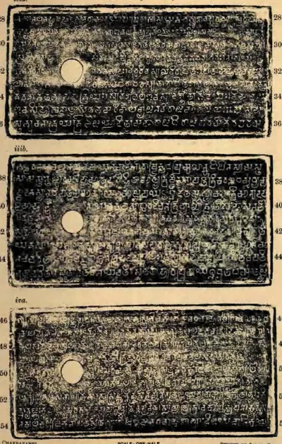 "Masulipatam Plates of Ammaraja II.—(II). (From impressions)", plates iii a, iii b and iv a (Epigraphia Indica XXIV, plate between pp. 276 and 277 (PDF p. 348))Inscription rubbing · 1938
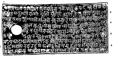 "Nadagam Plates of Vajrahasta.—Saka-Samvat 979", first plate (lines 1-9) (Epigraphia Indica IV, plates between pp. 190 and 191, PDF p. 233)Inscription rubbing · 1897
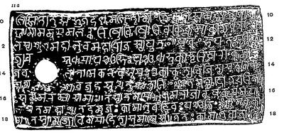 "Nadagam Plates of Vajrahasta.—Saka-Samvat 979", first side of the second plate (lines 10-18) (Epigraphia Indica IV, plates between pp. 190 and 191, PDF p. 233)Inscription rubbing · 1897
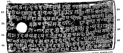 "Nadagam Plates of Vajrahasta.—Saka-Samvat 979", second side of the second plate (lines 19-27) (Epigraphia Indica IV, plates between pp. 190 and 191, PDF p. 233)Inscription rubbing · 1897
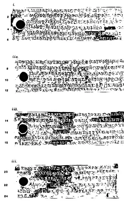 "Niduparu grant of Jayasimha I.", plates i, ii a, ii b and iii (Epigraphia Indica XVIII, plate between pp. 56 and 57 (PDF p. 88))Inscription rubbing · 1926
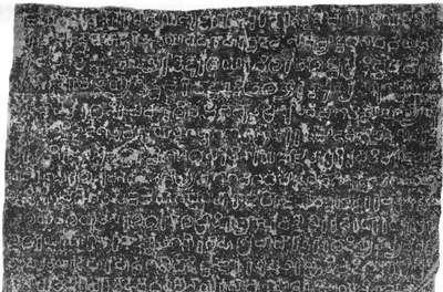 "Nilgund Inscription of Amoghavarsha I.—A.D. 866." lines 1–12 (Epigraphia Indica VI, plate with No. 11; PDF p. 137 of the archive.org scan EpigraphiaIndicaVol6)Inscription rubbing · 1901
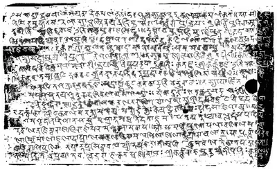 "Paithan Plates of Govinda III.—Saka-Samvat 716." side i, lines 1–17 (Epigraphia Indica III, plate with No. 17; PDF p. 154 of the archive.org scan in.ernet.dli.2015.108298)Inscription rubbing · 1895
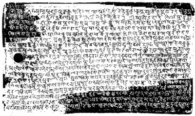 "Paithan Plates of Govinda III.—Saka-Samvat 716." side iia, lines 18–35 (Epigraphia Indica III, plate with No. 17; PDF p. 154 of the archive.org scan in.ernet.dli.2015.108298)Inscription rubbing · 1895
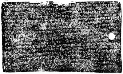 "Paithan Plates of Govinda III.—Saka-Samvat 716." side iib, lines 36–53 (Epigraphia Indica III, plate with No. 17; PDF p. 155 of the archive.org scan in.ernet.dli.2015.108298)Inscription rubbing · 1895
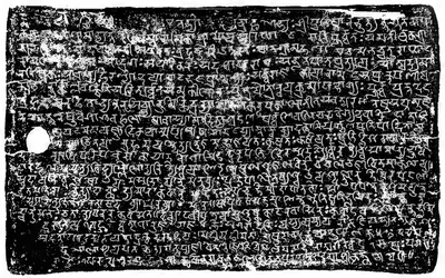 "Paithan Plates of Govinda III.—Saka-Samvat 716." side iii, lines 54–73 (Epigraphia Indica III, plate with No. 17; PDF p. 155 of the archive.org scan in.ernet.dli.2015.108298)Inscription rubbing · 1895
 "Penukaparu grant of Jayasimha II.", plate iii (Epigraphia Indica XVIII, plate between pp. 316 and 317 (PDF p. 403))Inscription rubbing · 1926
 "Penukaparu grant of Jayasimha II.", plates i, ii a and ii b (Epigraphia Indica XVIII, plate between pp. 316 and 317 (PDF p. 402))Inscription rubbing · 1926
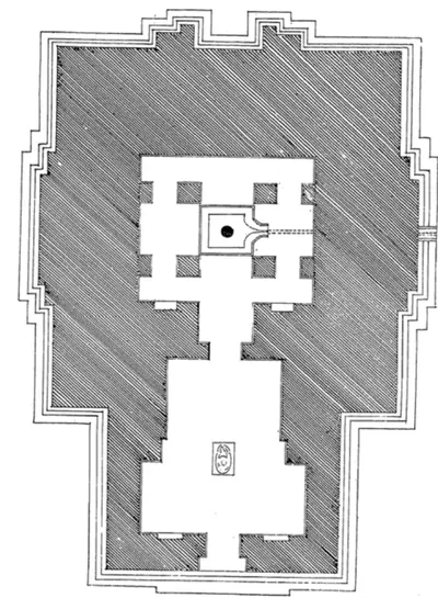 "Plan of Kedareshwar Temple" (N. Venkataramanayya, The Chalukyas of L(V)emulavada, 1953, plate 12)Plan · 1953
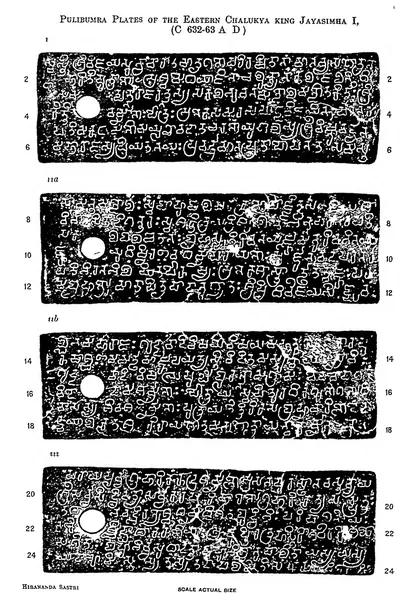 "Pulibumra Plates of the Eastern Chalukya king Jayasimha I (c. 632-63 A.D.)" (Epigraphia Indica XIX, plate (PDF p. 342))Inscription rubbing · 1928
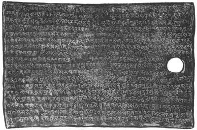 "Radhanpur Plates of Govinda III.—Saka-Samvat 730." side i (Epigraphia Indica VI, plate with No. 23; PDF p. 307 of the archive.org scan EpigraphiaIndicaVol6)Inscription rubbing · 1901
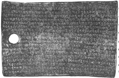 "Radhanpur Plates of Govinda III.—Saka-Samvat 730." side iia (Epigraphia Indica VI, plate with No. 23; PDF p. 307 of the archive.org scan EpigraphiaIndicaVol6)Inscription rubbing · 1901
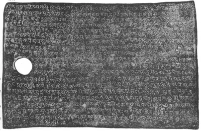 "Radhanpur Plates of Govinda III.—Saka-Samvat 730." side iib (Epigraphia Indica VI, plate with No. 23; PDF p. 308 of the archive.org scan EpigraphiaIndicaVol6)Inscription rubbing · 1901
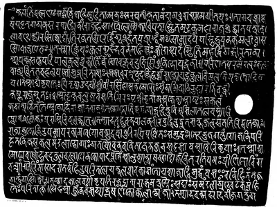 "Rashtrakuta grant of Govinda-Suvarnavarsha.—Saka 855." (the Sangli plates of Govinda IV, A.D. 933), side i (Indian Antiquary XII, plate 15 (sides I–IIa), facing p. 250, first page; PDF p. 282 of the archive.org scan in.ernet.dli.2015.176349)Inscription rubbing · 1883
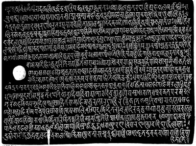 "Rashtrakuta grant of Govinda-Suvarnavarsha.—Saka 855." (the Sangli plates of Govinda IV, A.D. 933), side iia (Indian Antiquary XII, plate 15 (sides I–IIa), facing p. 250, second page; PDF p. 283 of the archive.org scan in.ernet.dli.2015.176349)Inscription rubbing · 1883
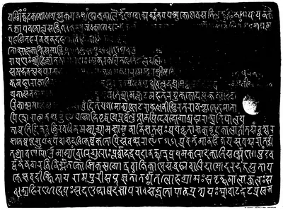 "Rashtrakuta grant of Govinda-Suvarnavarsha.—Saka 855." (the Sangli plates of Govinda IV, A.D. 933), side iib (Indian Antiquary XII, plate 16 (sides IIb and III), facing p. 251, first page; PDF p. 284 of the archive.org scan in.ernet.dli.2015.176349)Inscription rubbing · 1883
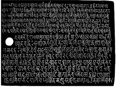 "Rashtrakuta grant of Govinda-Suvarnavarsha.—Saka 855." (the Sangli plates of Govinda IV, A.D. 933), side iii (Indian Antiquary XII, plate 16 (sides IIb and III), facing p. 251, second page; PDF p. 285 of the archive.org scan in.ernet.dli.2015.176349)Inscription rubbing · 1883
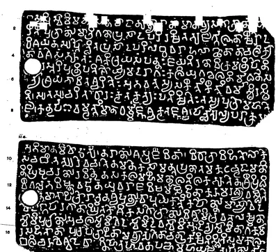 "Satara Plates of Vishnuvardhana I.", plates i and ii a, full size (Indian Antiquary XIX, plate at p. 310 (PDF p. 329))Inscription rubbing · 1890
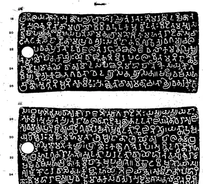 "Satara Plates of Vishnuvardhana I.", plates ii b and iii, full size (Indian Antiquary XIX, plate at p. 310 (PDF p. 330))Inscription rubbing · 1890
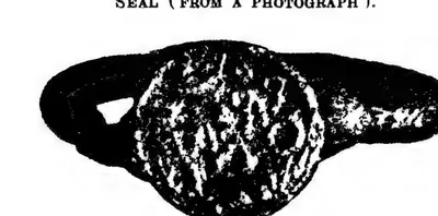 "Seal (from a photograph). Actual size.", seal of the Penukaparu grant of Jayasimha II (Epigraphia Indica XVIII, plate between pp. 316 and 317 (PDF p. 403))Historic photograph · 1926
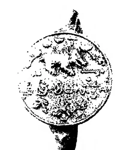 "Seal (From a photograph)", seal of the Kalidindi grant of Rajaraja I (Epigraphia Indica XXIX, Plate II, between pp. 70 and 71 (PDF p. 146))Historic photograph · 1952
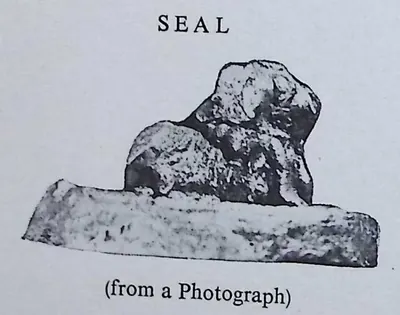 "Seal (from a Photograph)": the bull seal of the Arasavalli plates of Vajrahasta III, Saka 982 (Epigraphia Indica XXXII, PDF p. 434)Photograph · 1959
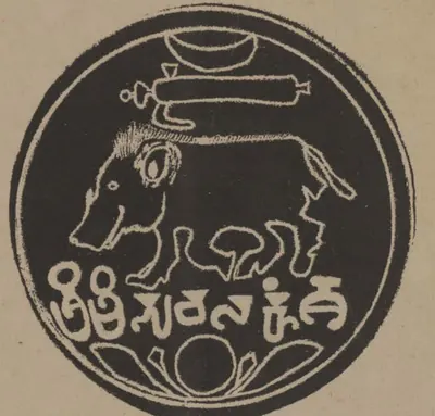 "Seal of the Eastern Chalukya grant of Ammaraja II. without date" (Indian Antiquary VII, plate facing p. 120 (PDF p. 169))Drawing · 1878
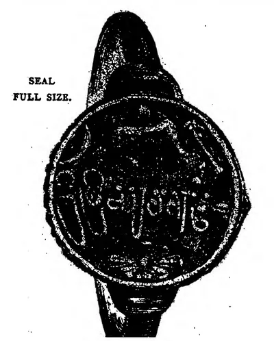 "Seal. Full size." of the Yelavarru Eastern Chalukya grant of Amma II (Indian Antiquary XII, plate at p. 93 (PDF p. 107))Drawing · 1883
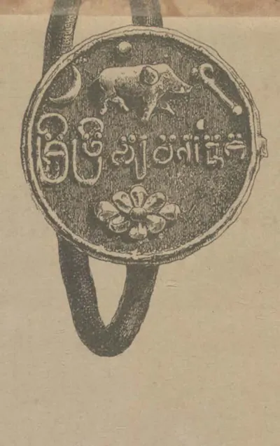 "Seal" of the copper-plate grant of the Eastern Chalukya dynasty dated about Saka 867 (Indian Antiquary VII, plate (PDF p. 31))Drawing · 1878
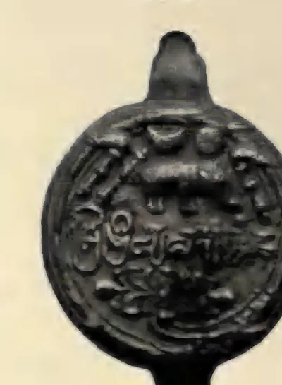 "Seal", seal of the Masulipatam plates of Ammaraja II (Epigraphia Indica XXIV, plate between pp. 274 and 275 (PDF p. 345))Historic photograph · 1938
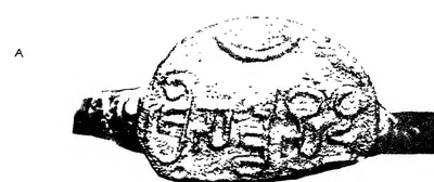 "Seals (A)", seal A, of grant No. 1 (Epigraphia Indica XXXI, Plate II, after p. 137 (PDF p. 221))Historic photograph · 1960
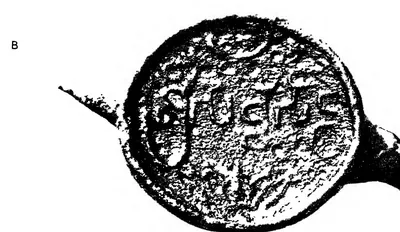 "Seals (B)", seal B, of grant No. 2 (Epigraphia Indica XXXI, Plate II, after p. 137 (PDF p. 221))Historic photograph · 1960
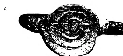 "Seals (C)", seal C, of grant No. 3 (Epigraphia Indica XXXI, Plate II, after p. 137 (PDF p. 221))Historic photograph · 1960
 "Site plan of Lēmulavāḍa Village, Karimnagar Dist." (N. Venkataramanayya, The Chalukyas of L(V)emulavada, 1953, plate 6)Plan · 1953
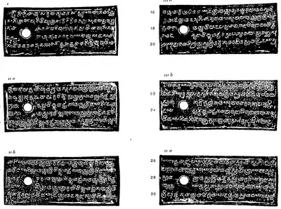 "Sripundi Plates of Tala II", plates i, ii a, ii b, iii a, iii b and iv a (Epigraphia Indica XIX, plate between pp. 152 and 153 (PDF p. 214))Inscription rubbing · 1928
 "Sripundi Plates of Tala II", plates iv b and v (Epigraphia Indica XIX, plate between pp. 152 and 153 (PDF p. 215))Inscription rubbing · 1928
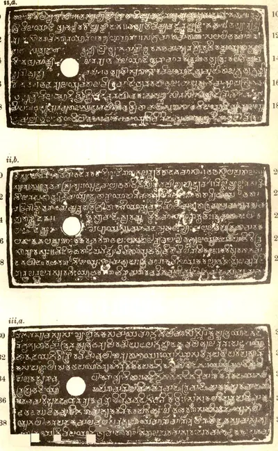 "Tandikonda Grant of Ammaraja II.", plates ii a, ii b and iii a (Epigraphia Indica XXIII, plate between pp. 168 and 169 (PDF p. 218))Inscription rubbing · 1936
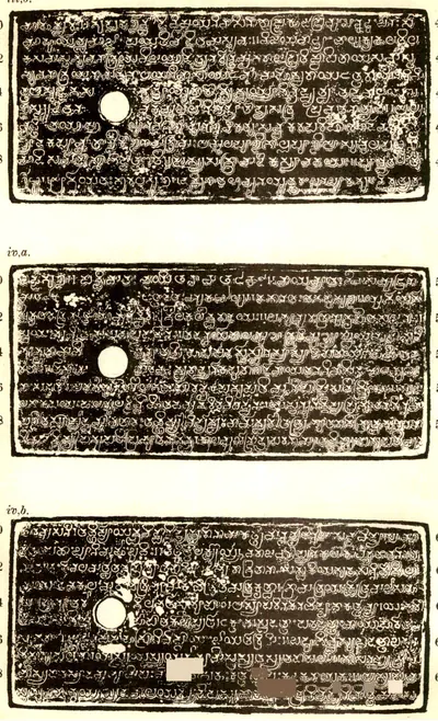 "Tandikonda Grant of Ammaraja II.", plates iii b, iv a and iv b (Epigraphia Indica XXIII, plate between pp. 168 and 169 (PDF p. 219))Inscription rubbing · 1936
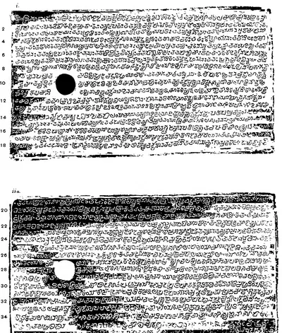 "Teki plates of Rajaraja-Chodaganga; dated in the seventeenth year (of Kulottunga I.)", plates i and ii a (Epigraphia Indica VI, Plate i, between pp. 338 and 339 (PDF p. 206))Inscription rubbing · 1901
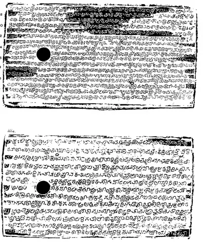 "Teki plates of Rajaraja-Chodaganga; dated in the seventeenth year (of Kulottunga I.)", plates ii b and iii a (Epigraphia Indica VI, Plate i, between pp. 338 and 339 (PDF p. 207))Inscription rubbing · 1901
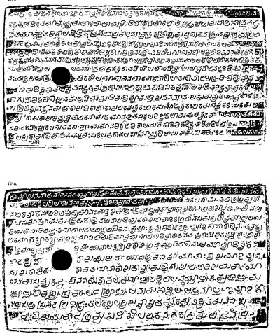 "Teki plates of Rajaraja-Chodaganga; dated in the seventeenth year (of Kulottunga I.)", plates iii b and iv a (Epigraphia Indica VI, Plate ii, between pp. 342 and 343 (PDF p. 212))Inscription rubbing · 1901
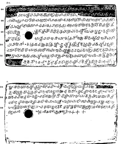 "Teki plates of Rajaraja-Chodaganga; dated in the seventeenth year (of Kulottunga I.)", plates iv b and v (Epigraphia Indica VI, Plate ii, between pp. 342 and 343 (PDF p. 213))Inscription rubbing · 1901
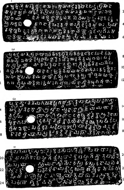 "Three Grants of Chalukya Jayasimha — A.—Grant No. 1, Year 18", plates i, ii a, ii b and iii (Epigraphia Indica XXXI, Plate I, after p. 131 (PDF p. 211))Inscription rubbing · 1960
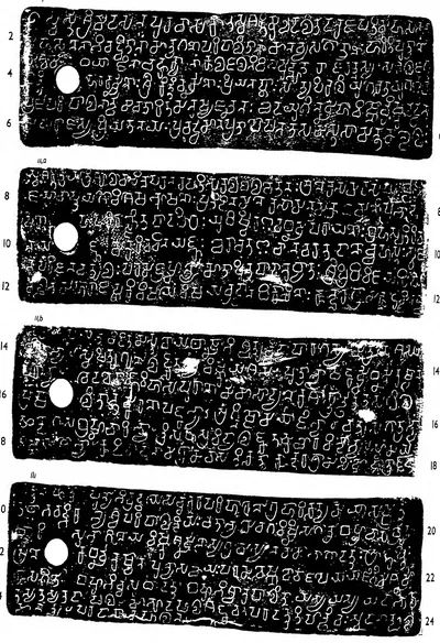 "Three Grants of Chalukya Jayasimha — B.—Grant No. 2", plates i, ii a, ii b and iii (Epigraphia Indica XXXI, Plate I, between pp. 132 and 133 (PDF p. 213))Inscription rubbing · 1960
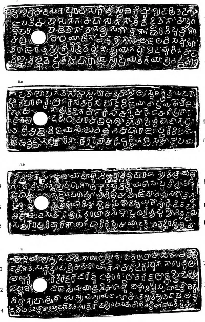 "Three Grants of Chalukya Jayasimha — C.—Grant No. 3", plates i, ii a, ii b and iii (Epigraphia Indica XXXI, Plate II, after p. 137 (PDF p. 220))Inscription rubbing · 1960
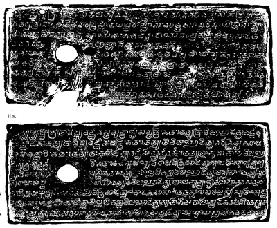 "Vandram plates of Ammaraja II.", plates i and ii a (Epigraphia Indica IX, plate between pp. 134 and 135 (PDF p. 168))Inscription rubbing · 1908
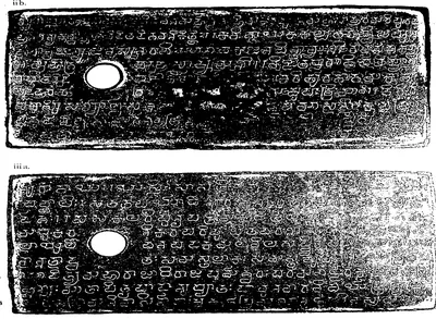 "Vandram plates of Ammaraja II.", plates ii b and iii a (Epigraphia Indica IX, plate between pp. 134 and 135 (PDF p. 169))Inscription rubbing · 1908
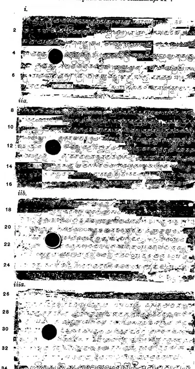 "Vemalurpadu Plates of Ammaraja II", plates i, ii a, ii b and iii a (Epigraphia Indica XVIII, plate between pp. 230 and 231 (PDF p. 292))Inscription rubbing · 1926
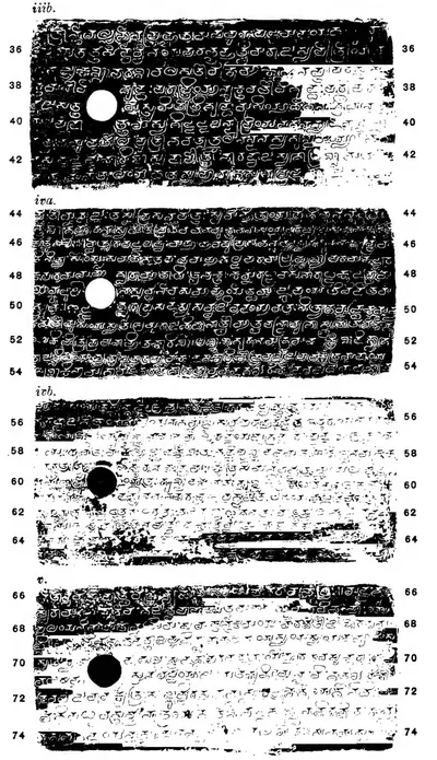 "Vemalurpadu Plates of Ammaraja II", plates iii b, iv a, iv b and v (Epigraphia Indica XVIII, plate between pp. 230 and 231 (PDF p. 293))Inscription rubbing · 1926
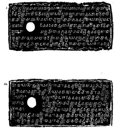 "Yelavarru Eastern Chalukya grant of Amma II.", plates i and ii a (Indian Antiquary XII, plate between pp. 92 and 93 (PDF p. 104))Inscription rubbing · 1883
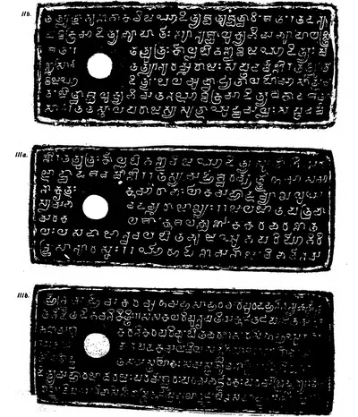 "Yelavarru Eastern Chalukya grant of Amma II.", plates ii b, iii a and iii b (Indian Antiquary XII, plate between pp. 92 and 93 (PDF p. 105))Inscription rubbing · 1883
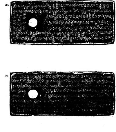 "Yelavarru Eastern Chalukya grant of Amma II.", plates iv a and iv b (Indian Antiquary XII, plate at p. 93 (PDF p. 106))Inscription rubbing · 1883
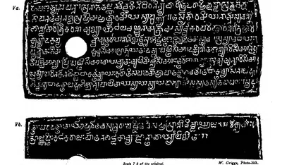 "Yelavarru Eastern Chalukya grant of Amma II.", plates v a and v b (Indian Antiquary XII, plate at p. 93 (PDF p. 107))Inscription rubbing · 1883
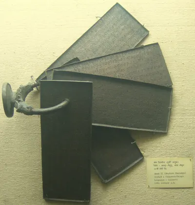 Copper plates of the Eastern Chalukya king Amma II on their ring with the seal, in the National Museum, New Delhi (photograph, 2010)Photograph · 2010
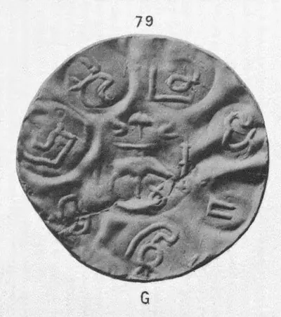 Gold coin No. 79, "South Indian Coins. Pl. III." (Elliot, Coins of Southern India, 1886, Plate III, No. 79 (PDF p. 191 of scan 00074712bsb))Coin · 1886
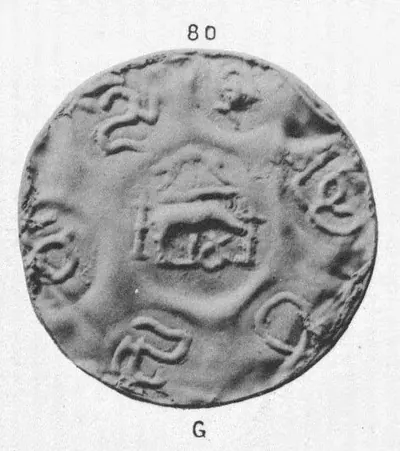 Gold coin No. 80, "South Indian Coins. Pl. III." (Elliot, Coins of Southern India, 1886, Plate III, No. 80 (PDF p. 191 of scan 00074712bsb))Coin · 1886
 Gold fanam No. 85 from Rajamahendri, "South Indian Coins. Pl. III." (Elliot, Coins of Southern India, 1886, Plate III, No. 85 (PDF p. 191 of scan 00074712bsb))Coin · 1886
 Gold fanam of Anantavarma Chodaganga, two faces (V. A. Smith, Catalogue of the Coins in the Indian Museum I, Plate XXX, No. 7)Coin · 1906
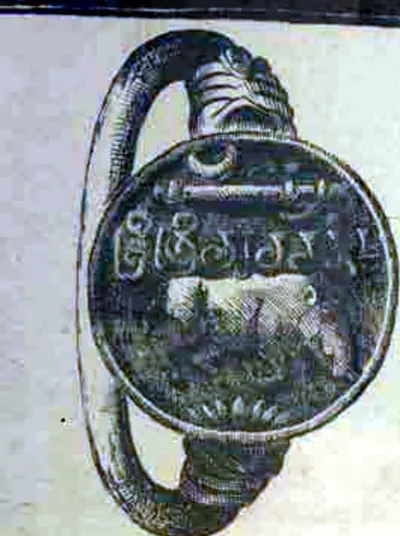 Seal of the "Eastern Chalukya grant of Amma II." (Gundugolanu grant) (Indian Antiquary XIII, plate at pp. 248-249 (PDF p. 286))Drawing · 1884
 Seal of the "Eastern Chalukya grant of the 18th year of Jayasimha I." (Indian Antiquary XIII, plate at p. 138 (PDF p. 159))Drawing · 1884
 Seal of the "Eastern Chalukya grant of the fifth year of Vishnuvardhana II." (Indian Antiquary VII, plate at p. 190 (PDF p. 247))Drawing · 1878
Maps
- Unified Andhra Pradesh (pre-2014)
- Present-day state borders, for orientation
- Approximate extent
Findspots and places of the Pallava charters of the Telugu country, from the Prakrit plates of Sivaskandavarman at Mayidavolu and the pillar inscription of Simhavarman at Manchikallu to the Sanskrit grants of the Nellore–Guntur kings (Chendalur, Darsi, Nelatur, Vavveru) and the later grants of the kings of Kanchi (Reyuru), with Dhanyakataka (Amaravati), the Kopparam plates of the Chalukya Pulakesin II, the Sriparvata frontier, and the places that mark the Pallavas' Ganga, Bana and Kurnool connections. The shaded districts are rough sketches of Karmarashtra and Mundarashtra as the sources describe them.
Historical boundaries are approximate. Base map: Natural Earth (opens in a new tab) (public domain).
- Unified Andhra Pradesh (pre-2014)
- Present-day state borders, for orientation
Places in the Telugu country named in the records of the Chalukyas of Badami: Pishtapura (Pithapuram) and the Kolleru lake from Pulakesin II's Aihole inscription, Vengi given to his brother Vishnuvardhana, the findspot of his Kopparam plates, the temples of Alampur and the findspots of Vikramaditya I's grants at Gadwal and Talamanchi, with the capital Badami and the inscription at Aihole to the west and the Pallava capital Kanchipuram to the south.
Base map: Natural Earth (opens in a new tab) (public domain).
- Unified Andhra Pradesh (pre-2014)
- Present-day state borders, for orientation
- Approximate extent
Places of the Eastern Chalukya kingdom of Vengi (7th–11th centuries): the capitals Vengipura (Pedavegi near Eluru) and Rajahmundry; the findspots of the dynasty's copper-plate charters, from Chipurupalle in the north to Ederu, Bezwada (Vijayawada) and Masulipatam in the south; Pithapuram, whose temple pillar carries the inscription of 1202 with the fullest list of the kings; and the temples that later sources attribute to Eastern Chalukya kings at Draksharama, Chalukya-Bhimavaram (Samalkot) and Biccavolu. The shaded area is a rough sketch of the kingdom as the Imperial Gazetteer (1908) and M. Rama Rao (1964) describe it.
Historical boundaries are approximate. Base map: Natural Earth (opens in a new tab) (public domain).
- Unified Andhra Pradesh (pre-2014)
- Present-day state borders, for orientation
- Approximate extent
Findspots of the records of the Telugu Cholas of Renandu (6th–8th centuries): the early Telugu stones at Kalamalla, Erragudipadu and Tippaluru, the copper plates of Punyakumara from Malepadu and Dommara-Nandyala, the Chamaluru stone of Vijayaditya Chola, and Budili, seat of the collateral line of Srikantha. The shaded area is a rough sketch of Renandu, the country between the Chitravati and the Cheyyeru, as its 1956 editors described it.
Historical boundaries are approximate. Base map: Natural Earth (opens in a new tab) (public domain).
- Unified Andhra Pradesh (pre-2014)
- Present-day state borders, for orientation
Places in the Telugu country named in the records of the Western Chalukyas of Kalyani: Patancheru (Pottalakere), where Somesvara III's coronation grant was found; Kolanupaka (Kollipake), seat of a province; Bodhan; Panugallu of the Kandur Chodas; Polasa (Polavasa) of the Medaraja family; Hanamkonda (Anumakonda) of the Kakatiya feudatories; Jammikunta, with the earliest record of Taila II near Anumakonda; the temples of Alampur; Tripurantakam, where an inscription of 1126 names the general ruling Vengi; Vengi and Draksharama on the coast; and the capital Kalyani, outside the Telugu country to the west.
Base map: Natural Earth (opens in a new tab) (public domain).
- Unified Andhra Pradesh (pre-2014)
- Present-day state borders, for orientation
Places named in the records of the two Chalukya families of Telangana: Vemulavada (Lembulavataka), capital of the Chalukyas of Vemulavada; Podana (Bodhan), where their founder bathed his elephants in oil; the Bommala Gutta at Kurikyal with the inscription of Pampa's brother; Chennur on the Godavari, with a record of a subordinate of Arikesari II; and Mudigonda, Koravi (Kuravi) and Kukunoor, places of the Chalukyas of Mudigonda, with the Rashtrakuta capital Malkhed and Vengi for reference.
Base map: Natural Earth (opens in a new tab) (public domain).
- Unified Andhra Pradesh (pre-2014)
- Present-day state borders, for orientation
- Approximate extent
Places in the old Ganjam and Vizagapatam districts named in the records of the Eastern Ganga kings of Kalinga: Mukhalingam (Kalinganagara), their capital, with its temples; the findspots of their copper plates at Chicacole (Srikakulam), Nadagam and Alamanda; Dirghasi near the old port of Kalingapatnam; the temples of Srikurmam and Simhachalam, with hundreds of their inscriptions; Visakhapatnam and Bhogapuram, with records of Anantavarman Chodaganga; Mahendragiri, the mountain of their god Gokarnasvamin; and, south of the Godavari, Draksharama, where their queens and kings left records, and Bendapudi, which a Ganga army took from the Kakatiya viceroys. The shaded area is a rough sketch of Kalinga as the Imperial Gazetteer describes it.
Historical boundaries are approximate. Base map: Natural Earth (opens in a new tab) (public domain).
- Unified Andhra Pradesh (pre-2014)
- Present-day state borders, for orientation
Places in the Telugu country named in the records of the Rashtrakutas of Malkhed and their feudatories: the camp of the crown prince Govinda II at the confluence of the Krishna and the Musi (770), the Srisaila country of Dantidurga's Ellora inscription, the Rashtrakuta-period records at Alampur, Khajipet and Bodhan, Danavulapadu and Kambaduru in Rayalaseema, with the capital Malkhed to the west, the Eastern Chalukya capital Vengi to the east and Kanchi, taken by Krishna III, to the south.
Base map: Natural Earth (opens in a new tab) (public domain).
- Unified Andhra Pradesh (pre-2014)
- Present-day state borders, for orientation
- Approximate extent
The countries of the regional houses that held the Telugu coast and southern Telangana between the Chalukya–Chola emperors and the Kakatiyas: Velanadu, the Chandavolu country of the Velanati Chodas; the Six-thousand country of the Kotas of Dharanikota; Konamandala, the Godavari delta of the Kona Haihayas; the Palnadu of the Haihaya chiefs and of the ballad of the Palnadu heroes; and Kandurunadu of the Kandur Chodas. The shaded areas are rough sketches of the extents the sources describe.
Historical boundaries are approximate. Base map: Natural Earth (opens in a new tab) (public domain).
- Unified Andhra Pradesh (pre-2014)
- Present-day state borders, for orientation
Places in the records of the Telugu Chodas who called themselves Madhurantaka Pottapi-Cholas: Pottapi on the Cheyyeru, their early seat; Nellore (Vikramasimhapura), where Tammusiddhi was anointed in 1205 and from which Tikka I and Manumasiddhi II ruled the Pakanadu; Kavali, with Tammusiddhi's agrahara of 1207–08; Nandalur, with gifts of Tikka I and Manumasiddhi II; Kanchipuram, which Tikka I and his successors held; Kandukur; Konidena, seat of a related branch; and Motupalli, near Nayanapalle, where an inscription of the Kakatiya Ganapatideva tells of the restoration of the ruler of Nellore.
Base map: Natural Earth (opens in a new tab) (public domain).
- Unified Andhra Pradesh (pre-2014)
- Present-day state borders, for orientation
- Route
The southern powers that ruled parts of the Telugu country between about 700 and 1342: the Banas of the Chittoor hills (Gudimallam, Punganur, Kalahasti); the Nolamba-Pallavas of Nolambavadi (Hemavati, Kambaduru, Penukonda, Gooty); the Vaidumbas in the Nellore and Chittoor country; the Cholas of Tanjore and Gangaikondacholapuram, with their records at Draksharama, Samalkot, Bezwada, Simhachalam and Mahendragiri; the Hoysalas of Dorasamudra (Halebid); and the Pandyas of Madurai, who held Nellore and Nandalur for a few years. The line of march of Kulottunga I's army to Kalinga follows the Kalingattupparani.
Base map: Natural Earth (opens in a new tab) (public domain).
- Unified Andhra Pradesh (pre-2014)
- Present-day state borders, for orientation
- Approximate extent
Rough sketches of the old country names of the Telugu coast and Rayalaseema as the sources place them: Vengi between the mouths of the Krishna and the Godavari; Velanadu in the western Krishna delta; Kammanadu (Karmarashtra) round Ongole and Bapatla; Pakanadu between Ongole and Nellore; and Renandu round Kadapa. The shaded areas are approximate.
Historical boundaries are approximate. Base map: Natural Earth (opens in a new tab) (public domain).
Related
Dynasties
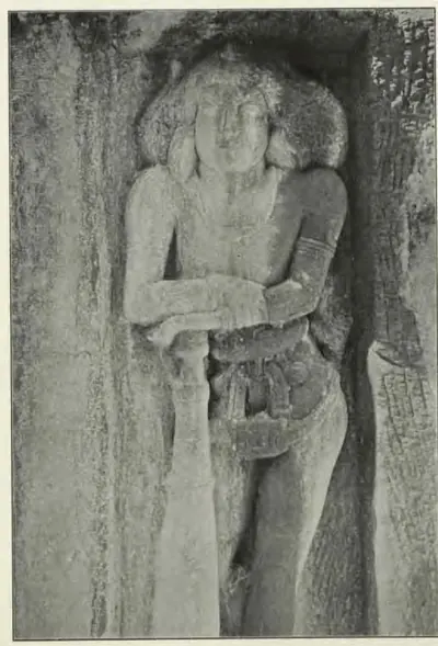
Pallavas
c. 250–900 CE
Dynasty of Kanchi (Kanchipuram) whose kings held the Telugu country south of the Krishna for much of the 4th to 7th centuries CE. Their earliest charters, in Prakrit, were sent from Kanchi to an officer at Dhanyakataka near Amaravati. A later line issued Sanskrit grants of villages in the Guntur and Nellore country from camps such as Palakkada and Dasanapura. The Chalukyas took Vengi and the Guntur country early in the 7th century. But Pallava kings still granted villages in Nellore until about 700, and their vassals held parts of Chittoor and Rayalaseema until the Chola conquest about 900.
Eastern Gangas of Kalinga
c. 498–1434 CE
Dynasty of Kalinga that ruled from Kalinganagara, now Mukhalingam in the Srikakulam district, and later from Orissa, from about the 6th century until 1434. Its early grants are dated in a Ganga era whose starting point is still disputed. The north of the Telugu country, the old Ganjam and Vizagapatam districts, was the heart of the kingdom. Their copper plates come from Chicacole, Achyutapuram, Jirjingi, Nadagam and Alamanda, and hundreds of their inscriptions in Telugu and Sanskrit survive at Mukhalingam, Srikurmam and Simhachalam. Anantavarman Chodaganga, a grandson of Kulottunga I, reigned from 1078 for about seventy years. The later kings fought the Kakatiyas across the Godavari, and their minister Kapilesvara founded the Gajapati dynasty in 1434.
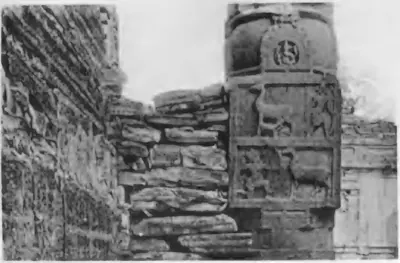
Chalukyas of Badami
c. 550–757 CE
Dynasty of the western Deccan that ruled from Vatapi (Badami) from about 550 to 757. Pulakesin II took Pishtapura (Pithapuram) and the Kolleru lake country about 615. He left his brother Vishnuvardhana in Vengi, where the Eastern Chalukya line began. Their grants and inscriptions show them holding the Guntur country in 631, the Kurnool and Alampur country under Vikramaditya I and his successors, and land in Nellore in 660. The Rashtrakuta Dantidurga overthrew the last king, Kirtivarman II, in the 750s.
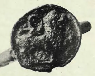
Telugu Cholas of Renadu
c. 550–800 CE
Kings of Renandu, the country around Kadapa, from about the later 6th to the 8th century. They claimed descent from the Chola king Karikala, took the names of their Pallava and then Chalukya overlords, and ruled from Chippili and Malepadu. Their stone inscriptions at Kalamalla and Erragudipadu are among the earliest records written wholly in Telugu. None of their records is dated in an era. Three editors have placed the same king, Punyakumara, about 625, about 740 and about 800.
Eastern Chalukyas of Vengi
c. 615–1077 CE
A branch of the Chalukyas of Badami that ruled Vengi, the coastal country between the lower Godavari and Krishna, from the early 7th century. Its founder, Kubja Vishnuvardhana, was a younger brother of Pulakesin II. The kings fought the Rashtrakutas for two centuries. After about 1000 they were bound to the Cholas by marriage, and in 1070 their heir became the Chola emperor Kulottunga I. Their copper-plate grants record the length of every reign. The first Telugu literary work, Nannaya's Mahabharata, was written at their court in Rajahmundry.
Banas
c. 700–921 CE
Chiefs of the Bana or Mahabali family who ruled the hill country 'west of the Andhra road', roughly the later Chittoor district from Kolar to Kalahasti, as subordinates of the Pallava and Ganga-Pallava kings of Kanchi. Their inscriptions at Gudimallam, in Tamil and Sanskrit, run from the 8th century to Saka 827 (905), and a copper-plate grant found there gives their family tree. In the late 9th century an outpost of theirs reached Pottipadu in the Cuddapah country. They fought the Nolamba-Pallavas at Soremati, and soon after 900 the Chola king Parantaka I uprooted them and gave their country to a Ganga prince. A Bana chief still ruled near Podili in Nellore in 968.
Chalukyas of Vemulavada
c. 750–973 CE
A family of Chalukya chiefs who ruled the Sabbi country of northern Telangana, today's Karimnagar district, from their capital Vemulavada (Lembulavataka). They were feudatories of the Rashtrakutas from about 750 to about 970. Their records begin with Vinayaditya-Yuddhamalla, who is said to have bathed his elephants in oil at Podana (Bodhan). Arikesari II (about 930–955) was the patron of the Kannada poet Pampa, and Somadeva Suri wrote his Yasastilaka in 959 in the town of Arikesari's son. Their rule ended when the Chalukyas of Kalyani took Telangana before 973.
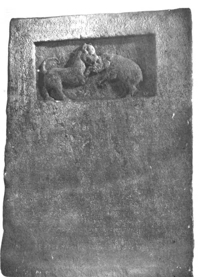
Rashtrakutas of Malkhed
c. 753–973 CE
Dynasty of the Deccan that overthrew the Chalukyas of Badami in the 750s and ruled from Manyakheta (Malkhed) until 973. In the Telugu country they took over the Chalukya lands of the Alampur and Kurnool country and fought the Eastern Chalukyas of Vengi for two centuries. They governed much of Telangana through feudatories such as the Chalukyas of Vemulavada. Their inscriptions are found from Alampur and Bodhan to Warangal and Nalgonda, and Krishna III held most of the Cuddapah country. Taila II of the Chalukyas of Kalyani overthrew the last king, Kakka II, in 973.
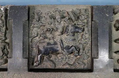
Nolamba-Pallavas
c. 800–974 CE
Branch of the Pallavas that ruled Nolambavadi, the 'Thirty-two Thousand' province of the Chitradurga and Tumkur country and most of the Anantapur district, from the 9th to the late 10th century, with Henjeru (Hemavati, Madakasira taluk) as a chief town. First feudatories of the Rashtrakutas and Gangas, they became powerful under Mahendra I, who claimed to have destroyed the Bana race. Their inscriptions in Anantapur are at Hemavati, Hindupur, Manepalle and Kambaduru, dated from 853 to 965. The Ganga Marasimha (died 974) took the title 'death to the Nolamba race'; later the Nolamba-Pallava title passed to chiefs under the Cholas and Western Chalukyas.
Vaidumbas
c. 800–1102 CE
Family of chiefs of the Madanapalle–Rayachoti country who, in the 9th and 10th centuries, ruled Renandu, the old Telugu Chola country of the Cuddapah region. Their hero-stones are in early Telugu and Kannada. Under Ganda-Trinetra they fought beside the Banas against the Nolambas and Gangas at Soremati. Later Vaidumba chiefs served the Nolamba Iriva-Nolamba and the Rashtrakuta Krishna III, married into the Chola royal family, and from the reign of Rajaraja I were Chola vassals; one ruled near Gudur in Nellore in 992. A Vaidumba princess was the mother of the Kalinga Ganga king Vajrahasta. By the late 13th century the Hoysalas held their old country.
Chalukyas of Mudigonda
c. 890–1218 CE
A family of Chalukya chiefs named after Mudigonda (Mudugondu) near Khammam. They held the Manchikonda district and the Koravi (Kuravi) country, between Vengi and Vemulavada, from the late 9th century to about 1200. They served the Eastern Chalukyas of Vengi, later the Chalukyas of Kalyani, and lost their lands to the Kakatiyas. They are known from two copper-plate grants (the Mogalcheruvula grant of Kusumayudha IV and the Kukkunur plates of Kusumaditya), a stone inscription at Koravi and passing references in other dynasties' records.
Western Chalukyas of Kalyani
c. 973–1189 CE
A dynasty of the western Deccan that overthrew the Rashtrakutas in 973 and ruled from Kalyana (Kalyani) until about 1189. Telangana was part of their kingdom. Kannada inscriptions of their reigns run from Korapolu in the Medak district (973) to Alampur, Gangapuram, Kolanupaka and Hanamkonda, where the early Kakatiya chiefs, the Polavasa chiefs and the Kandur Chodas served them as feudatories. They fought the Cholas for Vengi for a century, and Vikramaditya VI was recognised as king there from 1118 to about 1126. After the Kalachuris took over in the 1150s, the Kakatiyas declared their own sovereignty in 1163.
Cholas of Tanjore
c. 985–1268 CE
The imperial Chola dynasty of Tanjore (Thanjavur) and Gangaikondacholapuram in the Tamil country, overlords of much of the Telugu country from about 1000 to the 12th century. Rajaraja I restored the Eastern Chalukya Saktivarman I in Vengi about 999 and married his daughter to Saktivarman's brother Vimaladitya. Rajendra I waited on the Godavari while his general marched to the Ganges, and Virarajendra fought the Western Chalukyas at Bezwada. In 1070 the Eastern Chalukya heir became the Chola emperor Kulottunga I, whose sons governed Vengi until 1118. After a Western Chalukya occupation, Vikrama-Chola recovered the coast, but by the mid-12th century Chola rule north of the Krishna was nominal. In the south, the Telugu Choda chiefs of Nellore and Pottappi acknowledged the Chola king until the dynasty ended in the 1260s.
Kandur Chodas
c. 1060–1282 CE
Telugu Choda chiefs of the Kandurunadu country, in the present Mahbubnagar and Nalgonda districts of Telangana. They called themselves lords of Kodur, of the solar race and of the lineage of Karikala. Feudatories of the Western Chalukyas of Kalyani from about 1060, they governed the Kollipake province in 1088 and held Panugallu near Nalgonda. Their quarrels in the 1120s–1150s drew in the Kakatiyas Prola II and Rudradeva, who put Udaya Choda on the Panugallu throne, drove out his kinsman Bhima and annexed the country. The family lived on as Kakatiya subordinates, and its last known record is of 1282.
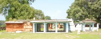
Haihayas of Kona and Palnadu
c. 1073–1364 CE
Two families of chiefs in the Telugu country who claimed descent from the legendary Haihaya king Kartavirya. The Kona chiefs ruled Konamandala, the Godavari delta, from the late 11th century to the 14th, under the Chola–Chalukya kings and the Velanati Chodas. They joined in the war in which the Kakatiya Prola II was killed. In the Palnadu, Haihaya chiefs of the Chagi family appear as feudatories of the Western Chalukyas from 1111. The Palnadu chiefs are the kings of the Telugu heroic ballad of the Palnati Viralu, whose war, fought out at Karempudi, has been dated anywhere from 1080 to 1386.
Velanati Chodas
c. 1076–1209 CE
A family of chiefs of Velanadu, the Chandavolu (Tsandavolu) country in the western Krishna delta. They rose as officers of the Eastern Chalukya and Chola kings and governed the Vengi country for the Chola emperors from the reign of Kulottunga I. Their records run from 1076 at Chebrolu to 1206. Gonka II claimed rule from Kalahasti to the Mahendra mountain, and Rajendra Choda II was the chief power on the coast in the 1170s. The Kakatiya Ganapatideva defeated the last of them, Prithvisvara, and had annexed Velanadu by 1209.
Kotas of Dharanikota
c. 1100–1276 CE
A family of chiefs of Amaravati–Dharanikota on the south bank of the Krishna, lords of the 'Six-thousand' country (Konnatavadi). Robert Sewell traced their line from about 1100, and their inscriptions run to the 1270s. Keta II, who probably came to power in 1182, still gave lamps and villages to the Buddha at Amaravati. Related by marriage to the Velanati Chodas and the Kakatiyas, they were brought under Kakatiya rule about 1185. Kota Beta married Ganapamba, daughter of the Kakatiya king Ganapatideva, and she ruled the family's lands as a widow in the 1250s.
Telugu Chodas of Pottapi and Nellore
c. 1120–1316 CE
A family of Telugu chiefs who called themselves Madhurantaka Pottapi-Cholas and Ganda-Gopalas and claimed descent from the Chola king Karikala. They ruled the Pakanadu country of Nellore and southern Kadapa (Cuddapah) from Pottapi and then Nellore, from the early 12th century to about 1316. First vassals of the Cholas, they took Kanchi under Tikka I and his successors. They then passed under the Kakatiyas, who restored Manumasiddhi II, the patron of the poet Tikkana. A related branch ruled Konidena in the Guntur country.
People
Mahendravarman I
c. 600–630 CE
Pallava king of Kanchi (about 600–630), son of Simhavishnu. In his reign the Chalukya Pulakesin II took Vengi and the Pallava provinces of the Guntur and Nellore country, though Mahendravarman defended Kanchi. Some of his surnames in his cave inscriptions in the Tamil country are Telugu. This led Jouveau-Dubreuil to argue that his family and his cave style came from the Telugu country.
Pulakesin II
c. 609–642 CE
Chalukya king of Badami (609–642), the son of Kirtivarman I. His Aihole inscription of 634–35 says that he humbled the Kalingas and Kosalas, took the fortress of Pishtapura (Pithapuram), ravaged 'the water of Kunala' (taken to be the Kolleru lake) and drove the Pallava king behind the walls of Kanchi. He gave the conquered Vengi country to his younger brother Vishnuvardhana, the founder of the Eastern Chalukyas. His Kopparam plates of about 631 grant land in the Guntur country. He died when the Pallava Narasimhavarman I took Badami, probably in 642.
Kubja Vishnuvardhana
c. 615–633 CE
Younger brother of the Chalukya king Pulakesin II of Badami and founder of the Eastern Chalukya dynasty of Vengi. He served his brother as heir-apparent and governed the newly conquered east coast. He became an independent king there by 632 at the latest. His reign is usually dated 615–633, but scholars have put the start of his rule in Vengi anywhere from about 605 to after 631.
Punyakumara
c. 625 CE
Telugu Chola king of Renandu and Hiranyarashtra, the best-documented ruler of the family. He is known from two sets of Sanskrit copper plates (Malepadu, fifth year; Dommara-Nandyala, tenth year) and from Telugu stone records at Tippaluru, Ramesvaram and Veludurti. His titles imitate those of the Pallava Mahendravarman I. Editors have dated him about 625, about 740 and near the end of the 8th century.
Narasimhavarman I
c. 630–668 CE
Pallava king of Kanchi (about 630–668), son of Mahendravarman I, called Mahamalla and Vatapikonda, 'conqueror of Vatapi'. He defeated the Chalukya Pulakesin II and took the Chalukya capital Badami (Vatapi). The Telugu provinces lost in his father's reign were not recovered, and the Chalukya Vikramaditya I, whose grants reach the Nellore country, fought him and his successors.
Jayasimha I
c. 633–663 CE
Second Eastern Chalukya king of Vengi (about 633–663), the eldest son of Kubja Vishnuvardhana. Four copper-plate grants of his are known, issued from Udayapura and Asanapura and granting villages in the Krishna–Godavari country to Brahmins. Most later records give him a reign of 33 years, one gives 30, and the scholars who fixed the chronology disagreed over which to follow.
Vikramaditya I (Chalukya of Badami)
c. 655–680 CE
Chalukya king of Badami (about 655–680), a son of Pulakesin II. He restored the kingdom after the Pallavas took Badami, fought three Pallava kings and took Kanchi. His copper-plate grants come from the Telugu country: Amudalapadu and Gadwal in today's Telangana, the Kurnool district, Talamanchi near Nellore, and Hyderabad. His Amudalapadu plates of 660 record his initiation into the Shaiva faith. A queen of his installed a linga at Alampur.
Vishnuvardhana II (Eastern Chalukya)
663–672 CE
Eastern Chalukya king of Vengi (663–672), son of Indra-Bhattaraka and nephew of Jayasimha I, who may have adopted him. Two of his grants are the earliest Eastern Chalukya records whose dates can be worked out to the day. J. F. Fleet built the chronology of the whole dynasty on them. His son Mangi-yuvaraja followed him, and Mangi-yuvaraja's grant of 673 was found at Chendalur in the Ongole country.
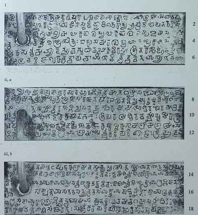
Paramesvaravarman I
c. 670–690 CE
Pallava king of Kanchi in the later 7th century, son of Mahendravarman II and grandson of Narasimhavarman I. He fought the Chalukya Vikramaditya I, who took Kanchi in his reign and was later driven back. His Vunna Guravayapalem plates, issued from Kanchipura in his 19th year and dated by D. C. Sircar to December 687, grant a village in the Podili–Kandukur country of Nellore.
Mangi-yuvaraja
c. 672–696 CE
Fifth king of the Eastern Chalukyas of Vengi (about 672–696), son of Vishnuvardhana II. His own grants call him Sarvalokasraya, 'asylum of all mankind', and his seal Vijayasiddhi. Only the later grants give the name Mangi-yuvaraja, and no source explains why the title yuvaraja stuck to it. Two of his grants survive; one of them, from Chendalur in the Ongole country, is dated 6 May 673. Three of his sons reigned after him: Jayasimha II, Kokkili and Vishnuvardhana III.
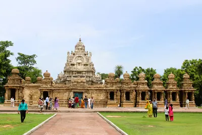
Narasimhavarman II
c. 690–715 CE
Pallava king of Kanchi about 700, son of Paramesvaravarman I, also called Rajasimha, builder of the Kailasanatha temple at Kanchipuram. His Reyuru grant, kept in the archives of the Raja of Kalahasti, gives a village in Mel-Mundarashtra, which P. B. Desai placed in the Atmakur taluk of Nellore. Desai suggested that he or his father had won back part of the Nellore country from the Eastern Chalukyas.
Jayasimha II (Eastern Chalukya)
c. 696–709 CE
Sixth king of the Eastern Chalukyas of Vengi (about 696–709), eldest son of Mangi-yuvaraja. The later grants give him a reign of thirteen years. His only known grant comes from Penukaparu in the Karma-rashtra district and calls him Sakalalokasraya Jayasimha-Vallabha. Its seal shows that he shared the surname Sarvasiddhi with Jayasimha I. After him the throne passed briefly to his half-brother Kokkili and then to his brother Vishnuvardhana III.
Vikramaditya II (Telugu Chola)
c. 700 CE
Telugu Chola king of Renandu, placed about 700 by his editors. He is known from stone records at Chilamakuru and Nallacheruvupalle, and from the Malepadu stone of his son Satyaditya. His queen Cholamahadevi ruled at Chilamakuru with their son Uttamaditya, who succeeded him. Whether 'Saktikumara' was his father or part of his own name is disputed.
Vishnuvardhana III (Eastern Chalukya)
709–746 CE
Eastern Chalukya king of Vengi (709–746), son of Mangi-yuvaraja. He took the throne by expelling his younger half-brother Kokkili and reigned for 37 years. His grants name two queens, and one of them, a renewal of an older gift to a Jain temple at Bezwada, is the earliest mention of Jains in the dynasty's records. A Pallava record claims that a general of Nandivarman II drove an enemy out of his kingdom.
Nandivarman II Pallavamalla
c. 717–779 CE
Pallava king of Kanchi for more than sixty years in the 8th century. He came from a side branch of the family descended from Simhavishnu's brother Bhimavarman, and was chosen king as a boy after the death of Paramesvaravarman II. His general Udayachandra drove a Nishada chief out of the land of 'Vishnuraja', identified with the Eastern Chalukya Vishnuvardhana III. An inscription of his 15th year at Mallam in the Gudur taluk shows Pallava rule in southern Nellore.
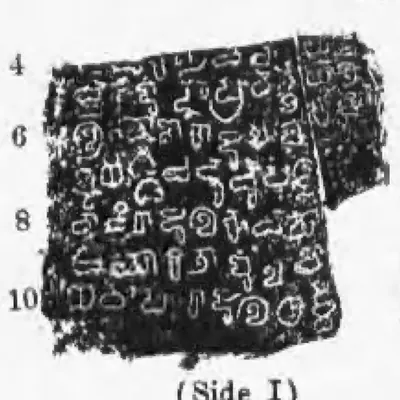
Vijayaditya Chola (Telugu Chola)
c. 750 CE
Telugu Chola king of Renandu known from a single damaged stone at Chamaluru, dated in his 22nd year. He bore the supreme title Prithvivallabha, and a Bana king ruled Pambuliggi under him. His editors placed him about 750. They read the record as the family's recovery of Renandu from Bana chiefs who had served the Chalukyas of Badami.
Vinayaditya-Yuddhamalla I (Chalukya of Vemulavada)
c. 750–775 CE
Founder of the Chalukya family of Vemulavada in the 8th century. The family's records say that he ruled the Sapadalaksha country, bathed his elephants in tanks filled with oil at Podana (Bodhan) and took the fort of Chitrakuta. N. Venkataramanayya dated him to about 750–775, and thought he served the Rashtrakuta Dantidurga in his northern wars. His sons were Arikesari I, who conquered Vengi, and Biragriha, named in the Kuruvagatta inscription.
Dantidurga
c. 753–756 CE
Rashtrakuta king (about 753–756) who overthrew the Chalukyas of Badami and founded the Rashtrakuta supremacy of the Deccan. His Samangad grant of January 754 says that he won the sovereignty by conquering the Chalukya 'Vallabha'. An inscription at Ellora lists among the rulers he subdued those of Kalinga, Kosala and the Srisaila country, which J. F. Fleet took to be the Kurnool country.
Vishnuvardhana IV (Eastern Chalukya)
764–799 CE
Eastern Chalukya king of Vengi (764–799), son of Vijayaditya I and father of Vijayaditya II. His reign saw the first recorded clashes with the Rashtrakutas of the western Deccan: a Rashtrakuta grant of 770–71 claims that Govinda II humbled the lord of Vengi, while a later record has Govinda II calling the king of Vengi to his aid. Historians read these records in different ways.
Govinda III (Rashtrakuta)
c. 793–814 CE
Rashtrakuta king (about 793–814), son of Dhruva, under whom the dynasty's power reached from the Vindhyas to the Tungabhadra. His Radhanpur plates of 808 say that the lord of Vengi, the Eastern Chalukya Vijayaditya II, came at his command and built an enclosure for him like a servant. An undated inscription at Kuruvagattu in the Mahbubnagar district names him as the friend of a Chalukya prince. A shrine of the Sun at Alampur was built for the prosperity of a king Prabhutavarsha who may be Govinda III.
Vijayaditya II Narendra-mrigaraja
c. 799–843 CE
Eastern Chalukya king of Vengi (799–843 in Fleet's chronology), the first of the dynasty to use the full imperial titles. His family's records say he fought 108 battles against the Gangas and the Rashtrakutas over twelve years and founded 108 temples of Shiva. Rashtrakuta records say that Govinda III made the king of Vengi build the walls of his city. The later grants give his reign as 40, 41, 44 or 48 years.
Amoghavarsha I
c. 814–878 CE
Rashtrakuta king (814–about 878), son of Govinda III, who reigned for more than sixty years and made Manyakheta (Malkhed) the capital of the dynasty. His records claim the homage of the king of Vengi and a victory over the Eastern Chalukyas at Vingavalli. Kannada inscriptions of his reign have been found in the Medak and Warangal districts of Telangana.
Gunaga Vijayaditya III
c. 844–888 CE
Eastern Chalukya king of Vengi (c. 844–888). His records claim victories over the Gangas, the Nolamba king Mangi, a chief Sankila of Dahala and the Rashtrakuta Krishna, and the burning of Kiranapura and Chakrakuta. Historians have seen him both as the man who sacked the Rashtrakuta capital and as a Rashtrakuta vassal. His general Pandaranga is praised in one of the earliest Telugu verse inscriptions.
Pandaranga
c. 844–888 CE
Army commander of the Eastern Chalukya king Gunaga Vijayaditya III in the second half of the 9th century, praised in the Telugu verse inscription at Addanki. Later grants credit him with burning Kiranapura, the home of the Rashtrakuta Krishna II and his ally Sankila. He was the executor of his king's grants, and his descendants held the office of Katakaraja under the later kings.
Baddega I Soladaganda (Chalukya of Vemulavada)
c. 850–895 CE
Chalukya king of Vemulavada in the later 9th century, a feudatory of the Rashtrakutas. Pampa and the Parbhani plates praise him as the hero of forty-two battles, called Soladaganda ('the undefeated hero'), who seized a king named Bhima 'as if catching a crocodile' in water. Historians identify Bhima with the Eastern Chalukya king Chalukya-Bhima I. N. Venkataramanayya dated his reign to about 850–895.
Krishna II (Rashtrakuta)
c. 878–914 CE
Rashtrakuta king (about 878–914), son of Amoghavarsha I. The Eastern Chalukya Gunaga Vijayaditya III claimed to have frightened him and burnt his city, and a Rashtrakuta grant admits that his enemies once abandoned his capital. Later Eastern Chalukya records in turn admit that his army overran Vengi until Chalukya-Bhima I won it back. A Kannada record of 907 in his reign has been found at Velmajala in Telangana.
Mahendra I (Nolamba)
c. 878–904 CE
The most powerful king of the Nolamba-Pallavas, son of Polalchora Nolambadhiraja and the Ganga princess Jayabbe. His records run from Saka 800 (878–79), and a pillar at Kambaduru in Anantapur is dated in his reign in Saka 805 (883). He invaded Pulinadu, the country of the Banas round Punganur, and called himself 'destroyer of the Mahabali race'. After a quarrel with his Ganga overlords he was defeated by Butuga and killed by the Ganga prince Ereyappa, before about 904.
Ganda-Trinetra (Vaidumba)
c. 885 CE
Vaidumba Maharaja of the Renandu country in the late 9th century, known from hero-stones near Madanapalle in early Telugu and Kannada. Three of them were edited by R. S. Panchamukhi in 1938. They place him in the wars against the Nolamba king Mahendra and the Gangas, culminating in the battle at Soremati, where he fought on the side of the Bana king Vijayaditya II. The battle has been dated about 877–78, about 885 and 900.
Chalukya-Bhima I
c. 888–918 CE
Eastern Chalukya king of Vengi (888–918 in Fleet's and Sewell's reckoning), nephew and successor of Gunaga Vijayaditya III. His records say he won back the Vengi country after the Rashtrakuta king Krishna II had overrun it. A young son of his fell in battle against the Rashtrakuta army. He built the Siva temple of Chalukya-Bhimesvara, which gave its name to Bhimavaram near Kakinada (then Cocanada).
Vijayaditya II Prabhumeru (Bana)
c. 898–909 CE
Bana king of the country west of the Andhra road (the Chittoor country), also called Prabhumeru, Vira-Chulamani and Mahavali-Vanaraya. He was the son of Vikramaditya Jayameru (Banavidyadhara) and the father of Vikramaditya II, donor of the Gudimallam plates. His stone records at Gudimallam and in the Kolar country are dated Saka 820, 827 and 831 (898, 905 and 909), with no overlord named. He drove back the Nolamba invasion of Pulinadu and fought, with the Vaidumbas, at Soremati.
Pampa (Adi Pampa)
902 CE
Kannada poet, born in 902 into a Brahmana family from the Vengi country that had become Jaina. At the court of the Chalukya king Arikesari II of Vemulavada he wrote the Adipurana and the Vikramarjunavijaya or 'Pampa Bharata' (941). In the second poem he made his patron the epic hero Arjuna. A rock inscription of his younger brother Jinavallabha on the Bommala Gutta at Kurikyal, near Karimnagar, gives his family and the village the king granted him.
Narasimha II (Chalukya of Vemulavada)
c. 915–930 CE
Chalukya king of Vemulavada, a feudatory of the Rashtrakutas, who ruled from about 915 to 930. Pampa and the Vemulavada inscription of his son Arikesari II credit him with victories over the Latas, the 'Seven Malavas' and the Gurjara-Pratihara king Mahipala, and with a pillar of victory at Kalapriya. N. Venkataramanayya held that he won them as the commander of the Rashtrakuta Indra III's northern campaign of about 916.
Amma I
c. 918–925 CE
Eastern Chalukya king of Vengi (918–925), grandson of Chalukya-Bhima I. He came to the throne against a conspiracy of his own relatives allied with the Rashtrakutas. His surname Raja-Mahendra led J. F. Fleet to suggest that Rajahmundry (Rajamahendrapuram) was named after him. His death in 925 opened nine years of civil war among the branches of the dynasty. His son Beta-Vijayaditya V, deposed as a child, founded the line of the Chalukya princes of Pithapuram.
Yuddhamalla II
c. 927–934 CE
Eastern Chalukya king of Vengi (about 927–934) of the junior line descended from Yuddhamalla I. He seized the throne during the civil war that followed the death of Amma I in 925, and held it for seven years until Chalukya-Bhima II drove him out. A Telugu verse inscription on a pillar at Vijayawada (then Bezwada), recording a temple of Kumarasvamin and a monastery for Saiva ascetics, is attributed to him or to his grandfather. His sons Badapa and Tala II later tried to win back the throne with Rashtrakuta help.
Arikesari II (Chalukya of Vemulavada)
c. 930–955 CE
Chalukya king of Vemulavada in today's Karimnagar district, a feudatory of the Rashtrakutas, who ruled from about 930 to about 955. He was the patron of the Kannada poet Pampa, who made him the hero of his Vikramarjunavijaya (941). His pillar inscription at Vemulavada gives the family line and records a gift to a Sun temple in his capital, Lembulavataka. He sheltered a Chalukya prince named Bijja from the Rashtrakuta king Govinda IV, and helped bring Govinda's uncle Baddega (Amoghavarsha III) to the throne.
Chalukya-Bhima II
c. 934–945 CE
Eastern Chalukya king of Vengi (about 934–945), called Rajabhima, a son of Vijayaditya IV. He ended the civil war that followed the death of his half-brother Amma I by driving out Yuddhamalla II. His grants list a long series of enemies he overcame, among them an army of the Rashtrakuta Govinda IV and Nolamba and Ganga princes of the Mysore country. He was the father of the kings Amma II and Danarnava.
Krishna III (Rashtrakuta)
c. 939–966 CE
Rashtrakuta king (about 939–966), the most powerful of the line, who took Kanchi and Tanjore from the Cholas. In the Telugu country he held most of the Cuddapah country through the Vaidumba chiefs, and the Nolamba chiefs of Anantapur served under him. The Eastern Chalukya pretender Badapa sought his help to drive Amma II out of Vengi. Inscriptions of his reign or of his feudatories have been found at Chennur, Mallikarjunapalli, Minambaram and Inavolu in Telangana.
Iriva-Nolamba (Dilipa)
c. 943–966 CE
Nolamba-Pallava king, younger son of Ayyapa and grandson of Mahendra I, who succeeded his brother Anniga after the Rashtrakuta Krishna III defeated Anniga in 940. B. Lewis Rice gives him dates from 943 to 966. The genealogy on the Hemavati pillar ends with him, in a record of Saka 864 (942–43), and a record of his reign stands below the tank at Hindupur. The Vaidumbas served him, and a Bana chief ruled a district under him in 961. His grandson Polalchora set up a pillar at Kambaduru in 965.
Amma II
945–970 CE
Eastern Chalukya king of Vengi (945–970), son of Chalukya-Bhima II and Lokamahadevi. He was crowned as a boy on 5 December 945, the first firmly dated event in the dynasty's history. About 956 the Rashtrakuta Krishna III, backing the claims of Yuddhamalla II's son Badapa, invaded Vengi and Amma went to Kalinga. Whether he fled or fought, and whether his half-brother Danarnava then ruled in his name or in his own, is disputed. His many grants include gifts to Jain temples and to a Kalamukha Saiva community at Bezwada.
Badapa
c. 956 CE
Eastern Chalukya prince of the junior line, son of Yuddhamalla II and elder brother of Tala II. In his Arumbaka plates he claimed to have driven Amma II out of Vengi with the help of the Rashtrakuta king Krishna III, and he took the imperial titles. Scholars disagree whether he ruled for a short time about 956 in the Velanandu district, or for the 27 years that the later grants call an interregnum (a gap in rule).
Tala II
c. 956 CE
Eastern Chalukya prince of the junior line, also called Vishnuvardhana, son of Yuddhamalla II and younger brother of Badapa. His only known grant, the Sripundi plates, made 'during the period of his rule', gives a small village in the Velanandu district to a minister whose father had died in his service. Its seal reads Tribhuvanasimha instead of the family's Tribhuvanankusa. This led both its editors to doubt that he ruled from the throne of Vengi.
Somadeva Suri
959–966 CE
Jaina scholar and Sanskrit author of the 10th century. He finished his prose-and-verse romance, the Yasastilaka, in 959 at Gangadhara, in the territory of Vagaraja, eldest son of the Chalukya king Arikesari II of Vemulavada. At that time the Rashtrakuta Krishna III was in camp at Melpati. In 966 Arikesari III gave him a village for the Subhadhama Jinalaya, a Jaina temple at Vemulavada.
Arikesari III (Chalukya of Vemulavada)
c. 966–973 CE
Last known Chalukya king of Vemulavada, a feudatory of the Rashtrakuta Krishna III. His Parbhani copper plates of 7 April 966 give a village in the Sabbi Thousand to the Jaina scholar Somadeva Suri for the Subhadhama Jinalaya, a temple built by his father at the capital, Vemulavada. An inscription at Repaka of 968 names him as builder of a Jaina temple. The family's rule ended when the Chalukyas of Kalyani took Telangana in the years up to 973.
Danarnava
970–973 CE
Eastern Chalukya king of Vengi (970–973), elder half-brother of Amma II and son of Chalukya-Bhima II. While Amma II was away in Kalinga about 956, he held the kingdom with the support of the Rashtrakuta Krishna III. His Mangallu grant, made at the request of the Kakatiya chief Gundyana, is the earliest record to name the Kakatiya family. The later records say that after his three-year reign Vengi was without a ruler for twenty-seven years, until his sons Saktivarman and Vimaladitya were restored with Chola help.
Taila II
c. 973–997 CE
Founder of the Western Chalukya dynasty of Kalyani, who overthrew the last Rashtrakuta king, Kakka II, in 973 and reigned until 997. An inscription of his reign dated April 973 has been found at Korapolu in the Medak district, and P. V. Parabrahma Sastry dated his earliest record near Anumakonda to 995. In Parabrahma Sastry's reading, the Kakatiya chief Gunda IV was killed by a chief backed by Taila, and the family recovered only under Gunda's son Beta I.
Rajaraja I (Chola)
c. 985–1014 CE
Chola king of Tanjore (Thanjavur) from 985, the founder of the Chola empire, whose inscriptions claim the conquest of Vengai-nadu, the Eastern Chalukya country of Vengi. About 999 he helped the Eastern Chalukya prince Saktivarman I back to the throne of Vengi, and he married his daughter Kundavadevi to Saktivarman's brother Vimaladitya. This began the alliance that made the Eastern Chalukyas Chola vassals and, two generations later, Chola emperors. Inscriptions of his reign are found at Kalahasti, and a Vaidumba chief ruled under him in the Nellore country.
Saktivarman I
c. 999–1011 CE
Eastern Chalukya king of Vengi (about 999–1011), the eldest son of Danarnava. He took the throne after the 27 years in which, as the later grants put it, Vengi had no ruler. The Chola king Rajaraja I is said to have restored order in Vengi at this time, and historians have read Saktivarman's accession as a Chola restoration. Gold coins with his title Chalukya-Chandra have been found in Arakan.
Vimaladitya
1011–1022 CE
Eastern Chalukya king of Vengi (1011–1022), the younger brother of Saktivarman I. He was crowned on 10 May 1011. The Chola prince Rajendra defeated him, and he appears to have spent some years at the Chola court. There he married Kundavadevi, daughter of the Chola king Rajaraja I. Their son Rajaraja Narendra succeeded him.
Rajendra I (Chola)
c. 1012–1043 CE
Chola king from 1012, son of Rajaraja I and founder of Gangaikondacholapuram. As a prince he defeated the Eastern Chalukya Vimaladitya, his sister's husband, and set up a pillar of victory on Mahendragiri. As king he fought the Western Chalukya Jayasimha II and claimed Kollippakkai (Kolanupaka). His general marched to the Ganges while he himself waited on the Godavari, in a campaign that Krishna Sastri dated to 1028. His daughter Ammangadevi married the Eastern Chalukya Rajaraja Narendra and was the mother of Kulottunga I.
Jayasimha II (Western Chalukya)
c. 1015–1042 CE
Western Chalukya king of Kalyani, called Jagadekamalla, who reigned from about 1015 to 1042 and fought the Chola king Rajendra I. His records name Kollipake, now identified with Kolanupaka in the Nalgonda district, as one of his minor capitals. An inscription of his reign at Kolanupaka is dated January 1033.
Rajadhiraja I (Chola)
1018–1052 CE
Chola king, eldest son of Rajendra I and his co-regent from 1018, who fought the Western Chalukya Somesvara I. His Manimangalam inscription claims that he burnt the centre of Kollippakkai (Kolanupaka), a Western Chalukya city on the edge of Telangana, and counts the Andhra king among those who paid him tribute. An inscription of his 28th year is at Kalahasti. He fell in battle against Somesvara at Koppam in 1052.
Rajaraja Narendra
1022–1063 CE
Eastern Chalukya king of Vengi (crowned 1022, died about 1061–63), the son of a Chola princess and husband of another, who ruled from Rajahmundry. His reign was disturbed by Chola and Western Chalukya intervention and by a rising of his half-brother Vijayaditya VII. Telugu tradition remembers him as the patron of Nannaya, whose Mahabharata is the oldest surviving Telugu literary work.
Vajrahasta III (Eastern Ganga)
c. 1038–1070 CE
Eastern Ganga king of Kalinga, crowned on 3 May 1038. His Nadagam plates of 1058 give the earliest exactly dated event in the history of the later Gangas, and a family tree of his predecessors. He styled himself lord of the Three Kalingas and issued his grants from Kalinganagara. He was the grandfather of Anantavarman Chodaganga. Historians number him Vajrahasta III or Vajrahasta V.
Kusumayudha IV (Chalukya of Mudigonda)
c. 1040–1065 CE
Chief of the Mudigonda branch of the Chalukyas, known from a Sanskrit copper-plate grant, the Mogalcheruvula grant. Cecil Bendall found it in the Nizam's treasury at Hyderabad in 1899 and published it in 1903. It gives a village near Koravi in the Manchikonda district to a Brahmana, and sets out eight generations of the family from Kokiraja. Bendall dated the letters to the 11th century or later; N. Venkataramanayya placed Kusumayudha IV about 1040–1065.
Somesvara I
c. 1042–1068 CE
Western Chalukya king, called Trailokyamalla and Ahavamalla, who reigned from about 1042 to 1068 and made Kalyana (Kalyani) his capital. Records of his reign are found at Alampur, Bodhan and Kolanupaka in Telangana, and the early Kakatiya chiefs Beta I and Prola I served him. His wars with the Cholas reached the Vengi country. Chola inscriptions claim that his army sent to Vengi was destroyed and his sons beaten at Kudalasangamam. He drowned himself in the Tungabhadra in 1068.
Kulottunga I
c. 1063–1118 CE
Eastern Chalukya prince of Vengi, son of Rajaraja Narendra and the Chola princess Ammangadevi. As Rajendra (Rajendra-Choda, Rajendra II) he was heir to Vengi in 1063. In 1070 he seized the Chola throne, and he reigned as Kulottunga Chola I until about 1118. He united the Eastern Chalukya and Chola crowns, and governed Vengi first through his uncle Vijayaditya VII and then through his own sons as viceroys.
Vijayaditya VII
c. 1063–1076 CE
Eastern Chalukya prince, a son of Vimaladitya and half-brother of Rajaraja Narendra. He governed Vengi from about 1063 until his death about 1076–77, at first in rivalry with his nephew Rajendra (Kulottunga I) and later as his viceroy. Grants found in the 20th century show that he had also seized Vengi from Rajaraja about 1030–35, and set up his own son Saktivarman II there in 1061.
Virarajendra (Chola)
c. 1063–1070 CE
Chola king from 1062–63 to 1070, probably a younger son of Rajendra I, whose inscriptions give the fullest Chola account of the struggle with the Western Chalukyas of Kalyani for Vengi. He defeated armies sent into Vengi, and in his fifth year his army beat the enemy at Bezwada on the Krishna, marched to the Godavari and through Kalinga, and gave Vengi to a Vijayaditya, whom Hultzsch identified with the Eastern Chalukya Vijayaditya VII. A record of his seventh year, Saka 991, is in the Chittoor district.
Rajaraja I (Eastern Ganga)
c. 1070–1078 CE
Eastern Ganga king of Kalinga, also called Devendravarman. He reigned for eight years between his father Vajrahasta III and his son Anantavarman Chodaganga (1070–1078 in Sewell's chronology, 1068–1076 in Ramamurti's). His wife Rajasundari was probably a daughter of the Chola-Chalukya emperor Kulottunga I. His general Vanapati claimed victories over the Cholas and the kings of Vengi and Orissa. The grants of his son say that he sheltered the Eastern Chalukya Vijayaditya VII against the Cholas.
Gonka I (Velanati)
c. 1076–1117 CE
First prominent chief of the Velanati Chodas. He ruled the Andhra country, or part of it, as an officer of the Chola–Chalukya emperor Kulottunga I. A record of his at Chebrolu is dated 1076. M. Rama Rao dated his rule from 1076 to 1117. His son Choda (Rajendra Choda I) was adopted by Kulottunga and made governor of Vengi.
Karunakara Tondaiman
c. 1076–1112 CE
General and minister of the Chola king Kulottunga I, the hero of the Tamil poem Kalingattupparani, which describes how he marched an army north from Kanchi across the Penna, the Krishna and the Godavari to defeat the king of northern Kalinga. A Sanskrit inscription of 1103 at Draksharama, which K. V. Subrahmanya Aiyer identified as his, records the burning of Kalinga, a victory pillar on the borders of Orissa and his gifts in the Vengi country. The date of the war is disputed: about 1076–77, 1084–90, before 1095–96, or about 1111–12.
Vikramaditya VI
c. 1076–1126 CE
Western Chalukya king of Kalyani, called Tribhuvanamalla. He deposed his brother Somesvara II in 1076 and reigned for fifty years, to 1126. He replaced the Saka era with his own Chalukya-Vikrama era, in which most Telangana records of the time are dated. As a prince he fought the Cholas and their Eastern Chalukya allies for Vengi. Late in his reign, after the Chola viceroy left in 1118, he was recognised as king in Vengi and the coastal Telugu country. His feudatories in Telangana included the Kakatiyas Beta II and Prola II and the Choda chiefs of Kandur.
Anantavarman Chodaganga
c. 1078–1146 CE
Eastern Ganga king of Kalinga, crowned in 1078 and still reigning in his 72nd regnal year (1146–47). He was a son of the Ganga king Rajaraja and of Rajasundari, a daughter of Kulottunga I, so he was a grandson of the Chola-Chalukya emperor whose armies invaded Kalinga in his reign. Dozens of his Telugu and Sanskrit inscriptions survive at Mukhalingam, Srikurmam, Simhachalam, Draksharama and other places in the north of the Telugu country. His grants trace the Ganga family back to Brahma.
Vira-Choda
c. 1078–1093 CE
Son of Kulottunga I and viceroy of Vengi, installed on 23 August 1078. He was recalled in 1084 in favour of his eldest brother Chodaganga, and sent back about 1088–89. His Chellur and Pithapuram copper plates carry the full Eastern Chalukya family line, and the account of how Kulottunga handed Vengi to his uncle and his sons.
Tondaya II (Tondarasa) of Kandur
c. 1088–1091 CE
Kandur Choda chief, the Mahamandalesvara Tondarasa Chola-maharaja of Kandur. In December 1088 he was governing the Kollipake seven-thousand province for the Western Chalukya Vikramaditya VI. P. V. Parabrahma Sastry made him the eldest son of Choda Bhima II and the husband of Mailamba. Her Panugallu inscription of 1124 names their three sons Udayaditya, Bhima and Gokarna.
Bhima Choda III of Kandur
c. 1105–1157 CE
Kandur Choda chief, second son of Tondaya II and Mailamba, for whose welfare his mother founded an agrahara at Panugallu in 1124. The Kakatiya inscription of 1163 accuses a Bhima of killing his brother Gokarna and seizing power after the death of a king Tailapa, and tells how Rudradeva burned his city and drove him into the forest. P. V. Parabrahma Sastry dated his records from 1105 to about 1157.
Kumara Tailapa
c. 1110–1141 CE
Western Chalukya prince, a son of Vikramaditya VI by Queen Chandaladevi. From at least 1110 he governed the Kandur thousand district in southern Telangana from his capital Kolur. P. V. Parabrahma Sastry argued that he tried to make himself independent under his brother Somesvara III. He also argued that Tailapa was the 'Tailapadeva' whom the Kakatiya Prola II captured and released, an event earlier writers attached to King Taila III.
Rajendra Choda I (Velanati)
c. 1117–1132 CE
Velanati chief, son of Gonka I. The Chola–Chalukya emperor Kulottunga I adopted him as his son and made him governor of the Vengi country, between 1100 and 1112 according to E. Hultzsch. When the Chola viceroy left Vengi in 1118 he accepted the Western Chalukya Vikramaditya VI as overlord. M. Rama Rao dated his rule from 1117 to 1132.
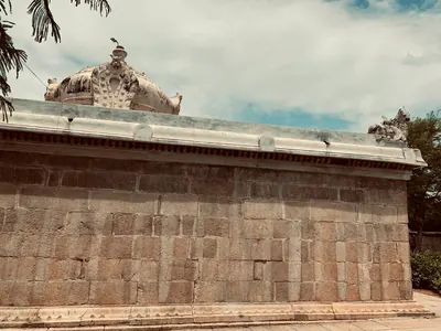
Vikrama-Chola
c. 1118–1135 CE
Son of the Chola emperor Kulottunga I who governed Vengi for his father from about 1092–93 and left it in 1118 to be crowned Chola king. In his absence the Western Chalukya Vikramaditya VI took the Vengi province, holding Draksharama from 1120–21 to 1123–24; Vikrama-Chola won it back, and his records are found at Chebrolu and Nidubrolu in 1127 and 1135. An inscription of his ninth year records the building of the temple at Gudimallam, and his records are at Nandalur and Tripurantakam.
Somesvara III
c. 1126–1138 CE
Western Chalukya king, called Bhulokamalla, who reigned from 1126 to 1138. He is credited with the encyclopaedic Sanskrit work Manasollasa. As Prince Somesvara he governed the Kollipake province from Kolanupaka in Telangana, where a pillar of 1125 celebrates his victory over the lord of Trikalinga. An inscription at Patancheru records grants made on the day of his coronation, 20 February 1127.
Gonka II (Velanati)
c. 1132–1163 CE
Velanati chief, called Kulottunga Choda Gonka, who ruled from about 1132 to 1163 according to M. Rama Rao. The Pithapuram inscription says that he set a golden pinnacle on the Bhimesvara temple at Draksharama, and ruled the kings between Kalahasti and the Mahendra mountain. His minister built the Suresvara temple at Karempudi in 1154.
Kulottunga II (Chola)
c. 1133–1146 CE
Chola king, son and successor of Vikrama-Chola, who reigned from the 1130s to the late 1140s. Coastal Andhra still recognised him: Telugu inscriptions at Bapatla are dated in his regnal years, the Velanandu chief Gonka II ruled at Draksharama as his vassal, and a copper-plate grant of his reign by Kolani-Katamanayaka, governor of Sarasipuri, survives as the Chellur plates (1143). The Godavari gazetteer thought the Cholas had little real power in Vengi by then.
Rajaraja II (Chola)
c. 1146–1163 CE
Chola king from 1146, son of Kulottunga II, in whose reign the Chola hold on the Telugu country became nominal. Telugu inscriptions at Bapatla, Appikatla and Draksharama are still dated in his regnal years, but they were set up by the Velanandu chiefs Gonka II and Kulottunga-Rajendra-Choda and other local rulers.
Taila III
c. 1150–1162 CE
Western Chalukya king, called Trailokyamalla, who reigned from 1150. His Kalachuri general Bijjala took over the kingdom between 1156 and 1162. He was dead by January 1163, when the Kakatiya Rudradeva's inscription at Anumakonda mentions his death. J. F. Fleet identified him with the 'Tailapadeva' whom Rudradeva's father Prola II captured and released. P. V. Parabrahma Sastry argued that Prola's captive was the prince Kumara Tailapa instead.
Mallideva of Kona
c. 1155–1195 CE
Haihaya chief of Konamandala, the Godavari delta. He ruled jointly with Manma-Satya II, a great-grandson of his uncle Satya I. In 1195 the two gave the village of Odiyuru to the Kunti-Madhava temple at Pithapuram. Their inscription traces the family from the legendary Kartavirya and praises the Velanati queen Jayamamba. P. V. Parabrahma Sastry held that Mallideva and a Satya of the Kona family took part in the battle in which the Kakatiya Prola II was killed.
Rajendra Choda II (Velanati)
c. 1163–1181 CE
Velanati chief, son of Gonka II, who ruled from about 1163 to 1181. His copper plates of 1169, issued at Chandavolu, call him a general of the Chola king Rajaraja II. They say he killed Bhima of Kolanu and received the Andhra country between the eastern sea, Kalahasti, the Mahendra mountain and Srisailam. P. V. Parabrahma Sastry made him the master of the coast from Darsi to Simhachalam after 1172; his death in 1181 opened the way for the Kakatiyas.
Kulottunga III (Chola)
1178–1216 CE
Chola king (1178–1216), the last strong ruler of the dynasty. The Telugu Choda chiefs of Pottappi and Nellore, among them Nallasiddha, Tammusiddhi and Tikka, dated their records in his reign, and inscriptions of his years are found at Nellore, in the Gudur country and at Kalahasti, whose temple he renewed. The Cuddapah gazetteer credits him with restoring Chola power in the Paka-nadu in 1196, while the Kakatiyas took over the old Chola lands north of the Krishna.
Kundavadevi
Chola princess, daughter of the Chola king Rajaraja I and younger sister of Rajendra Chola I. Early in the 11th century she married the Eastern Chalukya king Vimaladitya. She was the mother of Rajaraja Narendra. Her marriage began the alliance through which her grandson Kulottunga I came to rule the Chola empire.
Nannaya
Telugu poet of the 11th century, the author of the earliest surviving Telugu literary work. He wrote the first parvas (books) of the Telugu Mahabharata at the request of the Eastern Chalukya king Rajaraja Narendra of Rajahmundry. A Telugu grammar in Sanskrit, the Andhra-sabda-chintamani, is traditionally said to be his, though later historians doubted it. A. C. Burnell placed him in the 12th century in 1878; the editors of the inscriptions and later historians place him under Rajaraja in the 11th.
Places
Addanki
Town on the Gundlakamma river, formerly in Ongole taluk. A stone here carries the 9th-century Telugu verse inscription of Pandaranga. Later records name it as the centre of the 'Addanki country'.
Alampur
Town on the west bank of the Tungabhadra near its meeting with the Krishna, now in Telangana. It was formerly the head of a taluk of the Raichur and then the Mahbubnagar district of Hyderabad State. Its fort holds the Nava Brahma temples, whose inscriptions name kings and queens of the Chalukyas of Badami. Copper-plate grants of Vikramaditya I and Vinayaditya were found in the taluk. Inscriptions call the place Hatampura, and its god Brahmesvara the guardian of the western gate of Srisailam.
Amaravati & Dharanikota
Neighbouring sites on the south bank of the Krishna. The ramparts of Dharanikota are usually identified with ancient Dhanyakataka. The town of Amaravati is the site of the great Buddhist stupa and the Amaresvara temple.
Arumbaka
Village in the former Repalle taluk of Guntur district. The Eastern Chalukya prince Badapa gave it to the archer Gandanarayana in his Arumbaka plates. Its neighbours named in the grant were found round it within four miles. Among them are Sripundi (Sripudi), the village of Tala II's grant, and Kavuru.
Bhairavakonda
Hill site in the old Udayagiri taluk of the Nellore district, near the Cuddapah border. It has a group of early rock-cut cave temples reported by A. H. Longhurst in 1921. R. Gopalan described them as of the Pallava age and very like the caves of Mahendravarman I.
Bhimavaram (West Godavari)
Town in the western Godavari delta, headquarters of the Bhimavaram taluk. The taluk takes in the old village of Gunupudi with its Somesvara temple. M. Rama Rao (1964) counted the temple as Somarama, one of the five Pancharama shrines, and attributed it to the Eastern Chalukya king Chalukya-Bhima I. Not to be confused with Chalukya-Bhimavaram near Samalkot.
Biccavolu
Village on the Rajahmundry–Kakinada road, nine miles north of Ramachandrapuram, with six early stone temples of Shiva. A Mackenzie manuscript called it the capital of the early Eastern Chalukya kings, under the name Birudanka-Rayapuram. M. Rama Rao (1964) dated its temples to the reign of Gunaga Vijayaditya III.
Bodhan
Town in the Nizamabad district of Telangana, 16 miles west of Nizamabad, the Bodana or Bhaudhanya-nagara of the inscriptions. A Kannada inscription of 1056, in the reign of the Chalukya king Somesvara I, records the renovation of its temple of Indranarayana. It says that the Rashtrakuta king Indravallabha had built that temple. Inscriptions in its ruined fort wall show that it was a Jain centre in the 11th and 12th centuries.
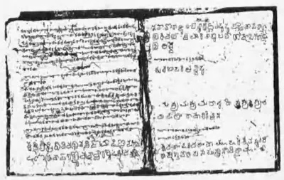
Chamaluru
Village in the former Jammalamadugu taluk of Kadapa district. A broken stone here records a grant in the 22nd year of the Telugu Chola king Prithivivallabha Vijayaditya, with a Bana king serving under him. Its lost lines survive in an eye-copy (a copy drawn by eye) made by Colin Mackenzie's assistants.
Chandavolu (Chandole)
Village in the western Krishna delta, the old Tsandavolu of the Repalle taluk. E. Hultzsch identified it with Sanadavrolu, the capital of the Velanati Chodas. Gordon Mackenzie (1883) described it as a place of great antiquity, with temple inscriptions of the 1150s–1170s, finds of gold and the foundations of extensive buildings. It appears in the ballad of the Palnadu heroes.
Chebrolu
Old town on a sandstone ridge nine miles south-east of Guntur, called Tamrapuri or the 'city of Shanmukha' in its inscriptions, after its temple of Kumarasvamin. Its records run from 1006. They include gifts of the Velanadu chiefs, and a long inscription of 1213 by Jaya, the Kakatiya king Ganapati's general, who received the town and rebuilt its temples and walls. M. Rama Rao attributed its Bhimesvara temple to the Eastern Chalukya king Chalukya-Bhima I.
Chellur
Village near Ramachandrapuram in the Godavari delta, the Chelluru agrahara (village granted to Brahmins) of the Eastern Chalukya records. Two copper-plate grants in Sir Walter Elliot's collection were obtained from its karnam (village accountant). One is the plates of the viceroy Vira-Choda, which record a Vishnu temple and a pond built there by his general Medamarya. The other is a grant of Kulottunga-Choda II of Saka 1056.
Chendalur
Village formerly in the Ongole taluk. It is the Chendalura of a Pallava copper-plate grant of Kumaravishnu II and the Chendapura of an Eastern Chalukya grant of 673. Both sets of plates were dug up there from a pot of paddy husk while a house was being built.
Chevuru
Village in the old Kaikalur taluk of Kistna (Krishna) district, near Vadali and Singarayapalem, west of the Kolleru lake. A copper-plate grant of the Eastern Chalukya king Amma I was dug up here about 1928, and B. Ch. Chhabra published it. The grant concerns the nearby village of Unikili.
Chippili
Village in the Madanapalle country of the former Chittoor district. It has been identified with Chirpali, the capital of Renandu named in the Tippaluru inscription of the Telugu Chola Punyakumara. A Kannada memorial stone there names a Punyakomaran ruling Chirpuli.
Chipurupalle (Cheepurupalli)
Small town in the north of the old Vizagapatam district, once the headquarters of a taluk, with the remains of an old fort. Three sets of copper plates were found here in 1867. Among them is the grant of the Eastern Chalukya founder Vishnuvardhana I, dated 7 July 632. J. F. Fleet took Cherupura, the town where that grant was issued, to be an older form of its name.
Dirghasi
Village near Kalingapatnam in the Srikakulam district, with a rocky hill called Durga-metta and the ruins of a temple of Durga. An inscription there of Saka 997 (1075–76), in Sanskrit and Telugu verse, was left by Vanapati, a general of the Ganga king Rajaraja I.
Dommara-Nandyala
Village in the former Jammalamadugu taluk of Kadapa district. Here a ploughman found the copper plates of the Telugu Chola king Punyakumara's tenth year in a sealed pot. The plates were edited in 1956.
Draksharama
Temple town in the Godavari delta, four miles south of Ramachandrapuram. It is famous as the 'Southern Benares' for its temple of Bhimesvara, whose walls carry hundreds of inscriptions from the 11th century onwards. Tradition derives its name from Daksharama, the garden of Daksha. It counts the temple's linga among the five Pancharama shrines.
Ederu (Edara)
Village near Agiripalle in the former Nuzvid zamindari of Kistna district, about 15 miles north-east of Vijayawada. Two Eastern Chalukya copper-plate grants were found there about 1871–73, those of Vijayaditya II and Amma I, and the zamindar of Nuzvid gave both to the Madras Museum.
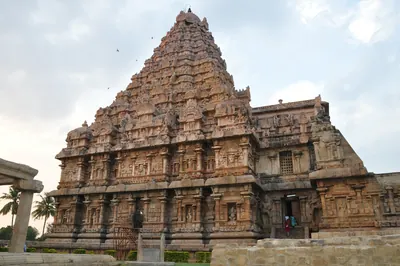
Gangaikondacholapuram
Village in the Tamil country, 38 miles north-east of Tanjore, that was the capital founded by the Chola king Rajendra I and named after his title Gangaikonda-Chola, 'the Chola who took the Ganges'. The later king Virarajendra returned there after his campaign in the Vengi country and displayed the booty he had brought from it.
Gangapuram
Village in the Mahbubnagar district of Telangana with eleven Kannada inscriptions of the Western Chalukya period. The dated ones run from 1091 to 1148, and they record gifts to its temples by royal officers and by merchant guilds. P. V. Parabrahma Sastry took it to be the Gangapura from which the prince Kumara Tailapa claimed to reign in 1137.
Gudimallam
Village near Renigunta in the Kalahasti country of the old Chittoor district, called Tiruvippirambedu (Sanskrit Viprapitha) in its inscriptions. Its Parasuramesvara temple holds the earliest records of the Bana chiefs, dated under the Pallava and Ganga-Pallava kings and in Saka 820 and 827 (898 and 905), and a copper-plate grant of the Bana king Vikramaditya II was found there. Later Tamil inscriptions of the Chola kings include a record of Vikrama-Chola's ninth year on the building of the temple.
Gudivada (Sarvasiddhi)
Village in the old Sarvasiddhi taluk of Visakhapatnam district, near Yellamanchili. A landholding family here kept three copper-plate grants of the Eastern Chalukya king Jayasimha I. Their editor identified the village with the Kulivataka or Kudivada of the grants, in the Plakki district. It is not to be confused with Gudivada in Krishna district.
Gurazala
Town in the Palnadu, west of Dachepalle. An inscription of 1129 calls it Madhavipattana; in it Beta Birudankarudra, a Haihaya feudatory (subordinate chief) of the Western Chalukyas, gave land to a temple there. In the ballad of the Palnadu heroes it is the capital of King Alugu Bhupati and of Nayakuralu, from which Brahma Nayudu broke away.
Hemavati
Village in the Madakasira taluk of Anantapur, eight miles south of Amarapuram, identified with Henjeru or Penjeru, a chief town (in H. Krishna Sastri's words 'the capital') of the Nolamba-Pallavas. A pillar there gives the family tree of the Nolamba kings, and two Tamil records of the Chola period and a grant of the Hoysala Vira-Ballala II of 1205–06 are among its later inscriptions. Its temples, with pillars of polished black stone, include the Doddesvara (or Nonesvara), the Mallesvara, the Virupakshesvara and the Siddhesvara.
Kalidindi
Village on the eastern edge of the Kolleru lake, in the old Kaikalur taluk of Krishna district. A copper-plate grant of the Eastern Chalukya king Rajaraja I was dug up here in 1938. It says that the king built three Shiva temples at Kalidindi in memory of Chola generals killed in battle. He gave the temples the village, renamed Madhurantakanallur. In the 18th and 19th centuries Kalidindi was a pargana (revenue division) of the Nuzvid zamindari (estate).
Kalyani (Basavakalyan)
Town in the Bidar district of Karnataka, outside the Telugu country, formerly in the Nizam's Dominions. J. F. Fleet identified it with Kalyana or Kalyanapura, the capital of the Western Chalukyas from the time of Somesvara I, and of the Kalachuris after them. According to the poet Bilhana, Somesvara I 'made the town'. Fleet found no ancient remains there.
Kanchipuram
City in the Tamil country, the capital of the Pallava kings. The earliest Pallava charter of the Telugu country, the Mayidavolu plates, was issued from Kanchipura. So were later Pallava grants of villages in the Ongole and Nellore country. The Chalukyas besieged the city in the 7th and 8th centuries, and the Chola Aditya I conquered it at the end of the 9th.
Kolanupaka
Village in the Nalgonda district of Telangana, the Kollipake of the Western Chalukya records. In the 11th and 12th centuries it was the seat of the Kollipake seven-thousand province. A Choda chief, the Paramara prince Jagaddeva and the prince Somesvara (the future Somesvara III) governed it for the kings of Kalyani. Kannada inscriptions there run from 1033 to the reign of Jagadekamalla II.
Konidena
Village south of the Krishna, in the former Guntur country. In the first half of the 12th century it was the seat of a branch of the Telugu Chodas. Its chiefs, Kama-Choda, Tribhuvanamalla Pottapi-Choda and Nanni-Choda, ruled under the Chola emperors, and one of them founded the Ballesvara temple there.
Kopparam
Village in the old Narasaraopet taluk of the Guntur district, near which the copper-plate grant of the 21st year of the Chalukya king Pulakesin II (probably 631) was found. The grant gives land in Karmarashtra and shows the Chalukyas of Badami granting land in the Guntur country at that time.
Kuravi (Koravi)
Village in the Mahabubabad country of Telangana, the Koravi of medieval inscriptions. The Mudigonda branch of the Chalukyas held it as Koravipura, the seat of their Koravi country. A stone inscription there tells how a Mudigonda chief recovered it from the Rashtrakutas in the time of the Eastern Chalukya Chalukya-Bhima I. The early Kakatiyas also held it for a time.
Kurikyal
Village near Gangadhara in the Karimnagar district of Telangana. On the Bommala Gutta, a rocky hill in its lands, Jinavallabha, younger brother of the Kannada poet Pampa, carved Jaina images and an inscription in Sanskrit, Kannada and Telugu. He did this in the time of the Chalukya king Arikesari II of Vemulavada, about 945.
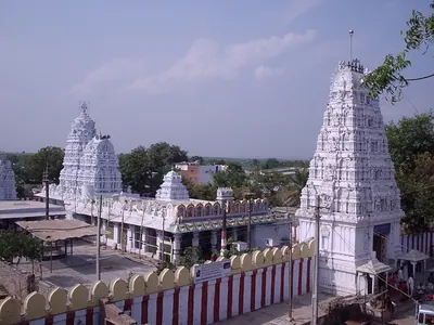
Macherla
Town on the Chandravanka in the west of the Palnadu. A Sanskrit and Telugu inscription of 1111 calls it Mahadevi-tataka and records the gift of the Haihaya chief Beta, of the Chagi family, to a temple there. The ballad of the Palnadu heroes makes it the city founded by Brahma Nayudu, and 19th-century writers called it the capital of the Palnadu heroes.
Madanur
Village about ten miles from Ongole. The copper plates of the Maliyapundi grant of the Eastern Chalukya king Amma II (945–970) were found in its Ramalingesvara temple. The temple also has a stone inscription recording a gift of the village in the Vijayanagara period.
Magallu
Village near Nandigama, probably the Mangallu of an Eastern Chalukya grant of Amma II. The grant was issued while Danarnava held the kingdom, and it gave the village to a Brahmin at the request of Kakatya Gundyana. The 1917 epigraphy report left the choice open between Magallu and Mangollu. The editor of the 1960 edition preferred Magallu because of its position on the Munneru river.
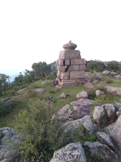
Mahendragiri
Mountain in the Eastern Ghats in southern Odisha. It is the Mahendra mountain of the Eastern Ganga grants, and on its summit the kings worshipped the god Gokarnasvamin. Old temples of large granite blocks stand on the top, and an inscription there records a Chola pillar of victory.
Malepadu
Village on the south bank of the Penner near Proddatur in Kadapa district. The copper plates of the Telugu Chola king Punyakumara and a stone inscription of Satyaditya came to light here in 1904. The 1956 editors of the Telugu Chola records thought it was perhaps Biriparu, one of the family's capitals.
Malkhed (Manyakheta)
Village in the Kalaburagi (Gulbarga) district of Karnataka, formerly in Hyderabad State. It is the ancient Manyakheta, capital of the Rashtrakuta kings from the 9th century until 973. J. F. Fleet thought that the Eastern Chalukya king of Vengi built its outer wall for Govinda III. The Eastern Chalukya Gunaga Vijayaditya III claimed to have burnt it.
Mudigonda
Village near Khammam in Telangana. It is identified with Mudugondu, the place that gave its name to the Mudigonda branch of the Chalukyas in the copper-plate grant of Kusumayudha IV. Its inscriptions include a broken Kannada record of 999 and two Telugu records of 1294 for the temple of Gopinatha.
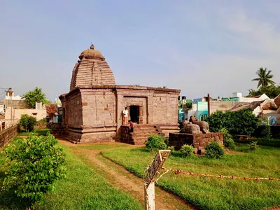
Mukhalingam
Village on the left bank of the Vamsadhara in the Srikakulam district. Since 1897 it has been identified with Kalinganagara, the capital named in the copper-plate grants of the Eastern Ganga kings. Its three Orissan-style Siva temples, the Madhukesvara, Bhimesvara and Somesvara, stand among ruins that stretch south to Nagarakatakam. They carry scores of Ganga inscriptions in Telugu and Sanskrit.
Nadagam
Village in the Narasannapeta area of the Srikakulam district. A cultivator found the copper plates of the Ganga king Vajrahasta here in the 1890s. The plates, dated in Saka 979 (1058), give the date of Vajrahasta's coronation in 1038 and a genealogy of the Ganga kings.
Ongole
Town on the Gundlakamma in the old Guntur district, now the headquarters of Prakasam district. H. Krishna Sastri suggested that it was the Omgodu given away in two Pallava copper-plate grants. The country round it was the Karmarashtra (later Kammanadu) of the Pallava and Eastern Chalukya charters. In the eighteenth century Ongole belonged to the Nawabs of the Carnatic (Arcot). The Company took over its management in 1790 and its government in 1801, when it was joined to the Nellore district.
Palakollu
Market town in the western Godavari delta, six miles north of Narasapur. It is known as Kshirarama for its Shiva temple, one of the five Pancharama shrines. It was the first Dutch settlement on this coast, founded in the mid-17th century, and passed finally to the British in 1825.
Panugallu (Panagal)
Village on the eastern edge of Nalgonda town in Telangana. It was one of the capitals of the Kandur Choda chiefs, who held the Kandurunadu country under the Western Chalukya kings of Kalyani and later under the Kakatiyas. Its inscriptions include grants of the chief Gokarna Choda (1122) and of his mother Mailamba (1124). P. V. Parabrahma Sastry noted an old temple of the Chalukya period there.
Patancheru
Town near Hyderabad, in the old Medak district of Telangana. A Kannada inscription there records a grant made on the day of the coronation of the Western Chalukya king Somesvara III in February 1127. P. B. Desai took it to identify Patancheru with Pottalakere. J. F. Fleet had listed Pottalakere among the minor capitals of Jayasimha II and placed it in the Bellary district.
Pithapuram
Town in the Godavari country, about twelve miles north by east of Kakinada (Cocanada). It has been identified with Pishtapura, the fortress taken by the Chalukya king Pulakesin II according to his Aihole inscription of 634–35. It has also been identified with the Pishtapura of Samudragupta's Allahabad inscription.
Polasa (Polavasa)
Village in the Jagtial country of the old Karimnagar district of Telangana. P. V. Parabrahma Sastry identified it with Polavasa, the capital of the Jaina chief Medaraja and his family. They were feudatories (subordinate chiefs) of the Western Chalukyas, and their fief adjoined the Kakatiya country. The Kakatiya Rudradeva sacked Polavasa before 1163.
Pottapi
Village on the Cheyyeru river in the former Pullampet taluk of Kadapa district. It was the early seat of the Telugu Choda chiefs who called themselves Madhurantaka Pottapi-Cholas. They governed the Pakanadu for the Chola emperors from the 11th or 12th century until they moved to Nellore.
Rajahmundry
Town on the left bank of the Godavari, the ancient Rajamahendravaram. It was the eastern capital of the Reddis, and a frontier fortress fought over by Orissa, the Bahmanis, Vijayanagara and Golconda. It was Bussy's headquarters in the 1750s, and in the 1920s the home of the Andhra Historical Research Society.
Samalkot and Chalukya-Bhimavaram
Town seven miles north of Kakinada (Cocanada). It takes in the old village of Bhimavaram, called Chalukya-Bhimavaram in its inscriptions after the Eastern Chalukya king Chalukya-Bhima. Its great Bhimesvara temple, one of the five Pancharama shrines of Shiva, is named in an inscription of 1202 as a foundation of that king. Samalkot was later the first seat of the Pithapuram zamindars and an English garrison town.
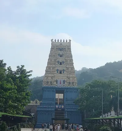
Simhachalam
Hill just north of Visakhapatnam with the temple of Narasimha, the richest and best-known shrine of the old Vizagapatam district. More than five hundred inscriptions on the temple record gifts from the Chola king Kulottunga I, the Eastern Ganga kings and their feudatories, the Reddis and the Vijayanagara king Krishnadeva Raya.
Srikakulam
Town on the Langulya river, formerly Chicacole. In 1908 it was the headquarters of a taluk of the Ganjam district. A hoard of six copper-plate grants dug up in the town is now in the Madras Museum. It includes several of the oldest grants of the Ganga kings of Kalinganagara. In the Qutb Shahi period the town was the capital of the Chicacole Sarkar.
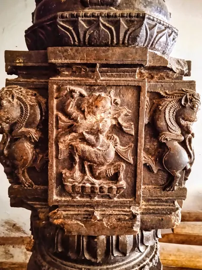
Srikurmam
Village and place of pilgrimage near Srikakulam, with the temple of Vishnu as the tortoise (Kurma). The temple's black stone pillars carry more than a hundred inscriptions. Many of them are of the Eastern Ganga kings, their ministers and feudatories (subordinate chiefs), and of the Gajapatis.
Tadikonda
Village about eight miles north of Guntur, identified by B. V. Krishna Rao with Tandikonda, which the Eastern Chalukya king Amma II gave with three other villages to the temple of Uma-Mahesvara at Bezwada. Two old tanks named in the grant were still in use in the 1930s, and a mound on the bank of one held the ruins of a Shiva temple.
Teki
Village in the eastern Godavari delta, formerly in Ramachandrapuram taluk. In 1901 a cultivator ploughing his field here found the copper plates of the Chola-Chalukya viceroy Rajaraja-Chodaganga. Before the Godavari anicut (dam) the village also gave its name to one of the old irrigation channels on the eastern side of the delta.
Thanjavur (Tanjore)
City in the Kaveri delta of the Tamil country, the capital of the Chola king Rajaraja I. His great Rajarajesvara temple, begun at the end of the 10th century and finished about 1012, carries the inscriptions in which he claims the conquest of Vengai-nadu, the Eastern Chalukya country of the Telugu coast.
Tippaluru
Village in the former Kamalapuram taluk of Kadapa district, the Tirpaluru of an early Telugu stone inscription of the Telugu Chola Punyakumara. The letters of the inscription resemble those of the Pallava Mahendravarman I. Its date contains the earliest mention of the hora (planetary hour) then known in south Indian inscriptions.
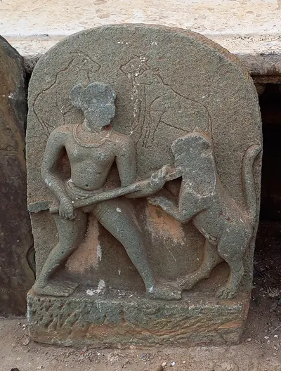
Tripurantakam
Temple village in the Markapur country, in the old Kurnool district and the later Prakasam district of Andhra Pradesh, with the temple of Tripurantakesvara. Kannada inscriptions of the Western Chalukya king Vikramaditya VI stand there. One of them, of 1126, names his general Anantapala as ruler of the Vengi twelve-thousand. They mark the eastern reach of the kingdom of Kalyani.
Vandram
Village in the western Godavari delta near Bhimavaram, where copper plates of the Eastern Chalukya king Amma II (945–970) were found in a backyard and edited in 1908. The grant gives a village to Kuppanayya, a minister who had founded a Shiva shrine at Draksharama.
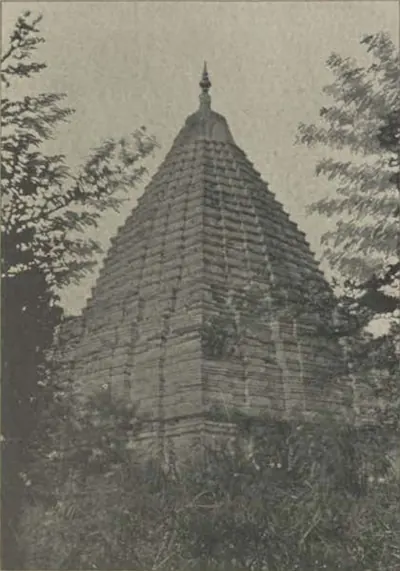
Vemulavada
Temple town in the Karimnagar country of Telangana (Rajanna Sircilla district since 2016), called Lembulavataka in its 10th-century inscriptions. It was the capital of the Chalukyas of Vemulavada, feudatories of the Rashtrakutas, and the court of Arikesari II, patron of the Kannada poet Pampa. Later it was the seat of governors of the Chalukyas of Kalyani. In 1909 it was a jagir town of the Sirsilla taluk, with a temple beside a large tank. In the temple enclosure was the tomb of a Muslim saint honoured by Hindus and Muslims alike.
Vemuluripadu (Vemalurpadu)
Village close to the Phirangipuram railway station in Guntur district, from a resident of which the Vemalurpadu plates of the Eastern Chalukya king Amma II were acquired for the Madras Museum in 1910.
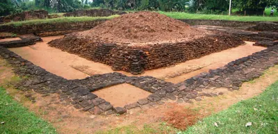
Vengi (Pedavegi)
Village a few miles north of Eluru (Ellore). It stands on the site generally taken to be Vengipura, the capital of the Salankayana kings and then of the early Eastern Chalukyas. Nineteenth-century surveys found ruined temples and mounds spread over Pedavegi, Chinavegi and Denduluru. The city gave its name to the whole country between the Krishna and the Godavari.
Vijayawada (Bezwada)
Town on the north bank of the Krishna, where the river passes through a gap in the hills. Eastern Chalukya records call it Vijayavada, and the British called it Bezwada. Copper plates of Chalukya-Bhima I were found in a quarry chamber here in 1897. A pillar in its Mallesvara temple carries one of the earliest Telugu verse inscriptions, of the Eastern Chalukya Yuddhamalla.
Yelavarru
Village near Amruthalur in the Repalle country of Guntur district, the Elavarru of a copper-plate grant of the Eastern Chalukya king Amma II (945–970). The grant gives the village itself to a Brahmin treasury official. The plates were dug up there in 1864, hanging from an iron bar across a buried jar.
Monuments
Bhairavakonda cave temples
Group of early rock-cut cave temples at Bhairavakonda in the old Udayagiri taluk of the Nellore district, reported by A. H. Longhurst in 1921. R. Gopalan described them as attributable to the Pallava age and closely resembling the caves of Mahendravarman I; the Madras epigraphy office linked one shrine, named Damodaresvaram in an archaic inscription, with the Ananda king Damodaravarman.
Bhimesvara temple, Chalukya-Bhimavaram
Two-storeyed Shiva temple at Bhimavaram in Samalkot, one of the five Pancharama shrines. Its inscriptions call it Chalukya-Bhimesvara and the place Kumararama. A Pithapuram inscription of 1202 says the Eastern Chalukya king Chalukya-Bhima founded a temple of that name, and E. Hultzsch (1897) identified it with this one. Its own dated inscriptions begin in the late 11th or 12th century.
Bhimesvara temple, Chebrolu
Small two-storeyed Shiva temple on the old mound at Chebrolu, near Guntur, with the linga of Bhimesvara in a closed upper sanctum. M. Rama Rao (1964) gave it to the Eastern Chalukya king Chalukya-Bhima I, after whom he took the god to be named. The older surveys of Chebrolu do not mention it. They found the town's inscriptions at the Nagesvara temple, the former temple of Kumarasvamin, and E. Hultzsch could not identify the 'Chodabhimesvara' named in an inscription of 1213.
Bhimesvara temple, Draksharama
Two-storeyed Shiva temple at Draksharama in the Godavari delta, one of the five Pancharama shrines and the most famous temple of the coastal Telugu country. Its walls carry some 270 inscriptions dated from 1055. Popular tradition in 1907 gave it to an unknown Chola king. M. Rama Rao (1964) gave it to the Eastern Chalukya king Chalukya-Bhima I, after whom he took the god to be named.
Bommala Gutta (Kurikyal)
Rocky hill at Kurikyal near Gangadhara, west of Karimnagar. Jaina images are carved on a rock at its summit. Beside them is the inscription of Jinavallabha, younger brother of the Kannada poet Pampa, of about 945. The inscription calls the rock the Siddha-sila. It says that Jinavallabha had the first and last Jinas and the goddess Chakresvari carved there, and built a temple, a tank and a garden nearby.
Golingesvara and the temples of Biccavolu
Six small stone temples of Shiva at Biccavolu in the Godavari delta. The Golingesvara, Rajarajesvara and Chandrasekhara temples stand in a compound in the village, and three more stand in the fields outside. M. Rama Rao (1964) placed them in the reign of Gunaga Vijayaditya III. His reasons were that an inscription calls the Golingesvara god Bijayesvara, and that one doorway shows the river goddesses Ganga and Yamuna.
Kshiraramalingesvara temple, Palakollu
Shiva temple in the middle of Palakollu, in the western Godavari delta, one of the five Pancharama shrines under the name Kshirarama. M. Rama Rao (1964) gave its shrine to the Eastern Chalukya king Chalukya-Bhima I, and the foreword to his monograph counts it among the original Chalukya buildings. Its own inscriptions, more than forty, run from 1136 to 1640. They record gifts of the Velanadu chiefs, the Haihaya chiefs of Konamandala, the Chalukya chiefs of Nidadavolu and the Reddi kings.
Simhachalam temple
Temple of Narasimha on the Simhachalam hill north of Visakhapatnam, described in 1907 as the most famous, richest and best carved shrine of the district. Its walls hold more than five hundred inscriptions, many of Eastern Ganga kings. The district gazetteer credits the Ganga king Narasimha I with building its central shrine, halls and enclosing verandah in black stone in 1267–68. Its records include a Tamil inscription of Kulottunga I, gifts of Reddi and Matsya chiefs, and the inscriptions of Krishnadeva Raya of Vijayanagara.
Somesvara temple, Somarama (Bhimavaram)
Two-storeyed Shiva temple at Gunupudi, now Somaram in the town of Bhimavaram in the western Godavari delta. M. Rama Rao (1964) counted it among the five Pancharama shrines and gave it to the Eastern Chalukya king Chalukya-Bhima I. Robert Sewell recorded it in 1882 as a very old temple of Somesvara, said to be one of the five aramas. The Godavari gazetteer of 1907 left it out of its list of the five.
Srikurmam temple
Temple of Vishnu in his tortoise incarnation at Srikurmam, near Srikakulam. Its granite verandas and black stone pillars carry more than a hundred inscriptions. Most of them belong to the Eastern Ganga kings who came after Anantavarman Chodaganga, to their ministers and feudatories, and later to the Gajapatis. An inscription of 1283 credits a Brahmin contemporary of a king Anangabhima with building an enclosure of black stone for the temple.
Temples of Mukhalingam
Three Siva temples at Mukhalingam on the Vamsadhara: the Madhukesvara (Mukhalingesvara), Bhimesvara (Aniyankabhimesvara) and Somesvara. They are in the Orissan style and stand among the ruins of Kalinganagara, the capital of the Eastern Ganga kings. A grant of Anantavarman Chodaganga credits the Madhukesvara temple to an early king Kamarnava, and the Bhimesvara is thought to be named after the king Vajrahasta Aniyankabhima. Their walls and pillars carry scores of Telugu and Sanskrit inscriptions of the Gangas.
Temples of Vemulavada
Group of temples at Vemulavada, the capital of the Chalukyas of Vemulavada, round the Rajarajesvara (Rajesvara) temple and its tank. The 10th-century inscription of Arikesari II names four temples there: of Rajesvara, the Sun, Baddegesvara and Nagaresvara. It stands in the Bhimesvara temple, formerly the Baddegesvara. N. Venkataramanayya thought the Rajesvara and Baddegesvara were named after, or built by, kings of the family. Later records of the Chalukyas of Kalyani add temples of Rajadityesvara and Harikesvara.
Inscriptions
Satara grant of Vishnuvardhana I
c. 616 CE
A Sanskrit copper-plate grant of Vishnuvardhana, the founder of the Eastern Chalukya line, issued while he was still only yuvaraja (heir-apparent) under his elder brother Pulakesin II of Badami. It gives a village on the Bhima to three Brahmin brothers and two other men. It is dated in the eighth year of 'the glorious Maharaja', which J. F. Fleet converted to 616 or 617. Found at Satara before 1844 and now in the British Museum, it is the earliest record of the founder.
Timmapuram plates of Vishnuvardhana I
c. 616 CE
A short undated Sanskrit copper-plate grant of the Eastern Chalukya founder Vishnuvardhana I Vishamasiddhi. It was dug up in a house site at Timmapuram in Vizagapatam district in 1907. Issued from Pishtapura (Pithapuram), it gives 4,000 nivartanas (a land measure) of land to forty Brahmins. E. Hultzsch read its wording as showing that Vishnuvardhana was still a dependant of his brother Pulakesin II. It is the only record to name Pishtapura as his residence.
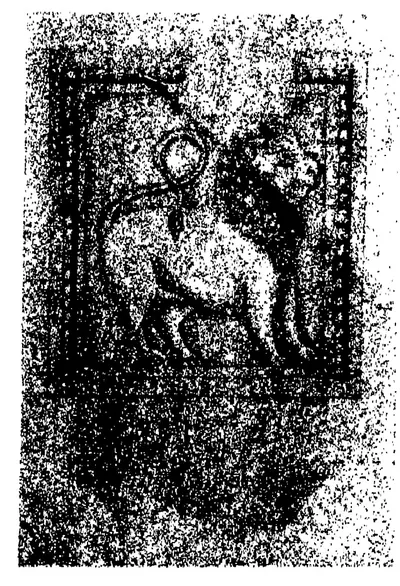
Malepadu plates of Punyakumara
c. 625 CE
Three Sanskrit copper plates with a lion seal, found at Malepadu in the Cuddapah district and given to the Madras Museum. They record a grant of land by the Telugu Chola king Punyakumara in the fifth year of his reign. Published in 1912, they gave the first family tree of the Telugu Cholas, from Nandivarman through Dhananjaya and Mahendravikrama. Their date has been put near 800, about 625 and about 750.
Tippaluru inscription of Punyakumara
c. 625 CE
An early Telugu stone record at Tippaluru in the Kamalapuram country. It was issued while Erikalla-Mutturaju Punyakumara ruled Renandu from his capital Chirpali. Its ornamental letters look like those of the Pallava Mahendravarman I's Vallam rock inscription. It names the weekday and the hora (planetary hour), the earliest mention of the hora then known in south Indian inscriptions.
Kopparam plates of Pulakesin II
c. 631 CE
A Sanskrit copper-plate grant of the 21st year of the Chalukya king Pulakesin II, probably 631, found near Kopparam in the Narasaraopet taluk of the Guntur district. It gives a field of 800 nivartanas in Karmarashtra to a Brahmana of Mugamur. E. Hultzsch read its 'Prithividuvaraja' as Pulakesin's brother Vishnuvardhana, still a subordinate in that year. Its first editor, K. V. Lakshmana Rao, identified him with another Chalukya prince.
Chipurupalle plates of Vishnuvardhana I
c. 632 CE
Sanskrit copper-plate grant of the Eastern Chalukya founder Vishnuvardhana I, now styled Maharaja, found at Chipurupalle in Vizagapatam district in 1867. It gives a village in the Dimila district to two Brahmin brothers on a lunar eclipse in the 18th year of his reign. J. F. Fleet fixed the eclipse at 7 July 632, the fixed point of the whole Eastern Chalukya chronology. A. C. Burnell had preferred 622 and James Burgess 628. The plates have since been lost.
Pedda-Vegi plates of Jayasimha I
c. 632–663 CE
An undated Sanskrit copper-plate grant of the second Eastern Chalukya king, Jayasimha I Sarvasiddhi. It was found two or three feet underground near Pedda-Vegi, the old capital of Vengi. It gives the village of Kombaru, identified with Komali in Repalle taluk, to a Brahmin from Kukkanur. It is the only grant of the dynasty that opens with a prayer to the sun, and it calls the founder Vishnuvarman. It was registered in 1917–18 and edited by V. Rangacharya in 1928.
Niduparu grant of Jayasimha I
c. 633–663 CE
A Sanskrit copper-plate grant of the second Eastern Chalukya king, Jayasimha I Sarvasiddhi, issued from Asanapura. It gives the village of Niduparu, near the royal residence of Ganderu, to the Brahmin Katisarman, whose grandfather belonged to the college (ghatika) of Asanapura. It was examined in 1916–17, and E. Hultzsch edited it in 1926. Ganderu has been identified with Kanteru and Niduparu with Nidamarru, both in Guntur taluk.
Aihole inscription of Pulakesin II
634 CE
A Sanskrit poem of 37 verses by the Jaina poet Ravikirti, engraved in 634–35 on the Meguti temple at Aihole in Karnataka. It is the main account of the conquests of the Chalukya king Pulakesin II, including his eastern campaign. There he humbled the Kalingas and Kosalas, took Pishtapura (Pithapuram), and ravaged 'the water of Kunala', which Kielhorn identified with the Kolleru lake. He also defeated the Pallava king before Kanchi.
Pulibumra plates of Jayasimha I
c. 637 CE
A Sanskrit copper-plate grant of the second Eastern Chalukya king, Jayasimha I. It gives the village of Pulibumra (Polamuru) in the Guddavadi district to Rudrasarman, whose father had received the same village from the Vishnukundin king Madhavavarman. It was noticed in 1914 and edited by V. Rangacharya in 1928. It is dated by number signs that have been read as the 4th, 5th and 15th regnal year, and it fed a long argument over the length of Jayasimha's reign.
Gudivada plates of Jayasimha I (three grants)
c. 659 CE
Three Sanskrit copper-plate grants of the second Eastern Chalukya king, Prithivi-Jayasimha-Vallabha I. They were kept by a landholding family at Gudivada in the old Sarvasiddhi taluk of Visakhapatnam district, and M. Somasekhara Sarma edited them in 1960. All concern land at or near Gudivada (Kulivataka or Kudivada) in the Plakki district. The first, of the king's 18th year, is dated by seasons and fortnights, and the editor worked it out as 12 February 659. The journal's editor doubted his conclusions and took the third grant for a later copy, perhaps a forgery.
Chendalur plates of Sarvalokasraya (Mangi-yuvaraja)
673 CE
Five Sanskrit copper plates of the Eastern Chalukya king Sarvalokasraya Vijayasiddhi, the Mangi-yuvaraja of later grants. They were dug up at Chendalur in the old Ongole taluk with a Pallava grant of the same village. They are dated on a lunar eclipse in the second year of his reign, which F. Kielhorn fixed as 6 May 673, and give the village of Chendarura in Kamma-rashtra to six Brahmins. E. Hultzsch edited them in 1906.
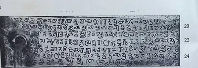
Vunna Guravayapalem plates of Paramesvaravarman I
687 CE
A Sanskrit copper-plate grant of the Pallava king Paramesvaravarman I, issued from Kanchipura in his 19th year. It gives the village of Kubunuru, on the southern bank of the river Musuna in Pumi-rashtra, to the Brahman Devasarman. The plates were shown to P. Seshadri Sastri at Vunna Guravayapalem in the Podili taluk of Nellore. D. C. Sircar and Seshadri Sastri edited them from photographs. The grant is dated to 22 December 687 and gave the first date for this king that can be checked.
Penukaparu grant of Jayasimha II
c. 696–709 CE
A Sanskrit copper-plate grant of the Eastern Chalukya king Jayasimha II (reigned about 696–709), who calls himself Sakalalokasraya Jayasimha-Vallabha. It gives a field at the village of Penukaparu in the Karma-rashtra district to a Brahmin of Vangiparu. It is the only known grant of this king. It was examined in 1923–24, bought by the Madras Museum and edited by E. Hultzsch in 1926. Its seal shows that he, like Jayasimha I, bore the surname Sarvasiddhi.
Ipur plates of Vishnuvardhana III
c. 709–746 CE
Sanskrit copper-plate grant of the Eastern Chalukya king Vishnuvardhana III (reigned about 709–746), dated in his 23rd year. It records a gift of a field in Jalayuru, in the Plolnandu district near Pithapuram, and a house site with a flower garden. Prithivipothi, daughter of Maghinduvaraja, made the gift. The plates were kept at Ipur in Tenali taluk with two Vishnukundin grants. E. Hultzsch edited them in 1926, and he took the lady for a queen and her father for the Pallava king Mahendravarman III.
Reyuru grant of Narasimhavarman II
c. 711 CE
A Sanskrit copper-plate grant issued from Kanchipura in the 12th year of the Pallava king Narasimhavarman II, on a lunar eclipse in Vaisakha. It gives the village of Reyuru in Mel-Mundarashtra to the Brahman Kumaramandasarman of Kuravasri. It was kept in the archives of the Raja of Kalahasti and edited by P. B. Desai. It is the only dated record of this king. Desai placed the village at Revuru in the Atmakur taluk of Nellore.
Malepadu stone inscription of Satyaditya
c. 725 CE
A short Telugu stone record from Malepadu in the Cuddapah district. It records a gift of land at Chirumburu (Chilamakuru) by the Telugu Chola prince Satyaditya, ruler of the Siddhi thousand and the Renandu seven thousand. It was published in 1912 as a sample of the earliest Telugu records of the district, and it is written from the bottom upwards. Its two editors read the family tree in it differently.
Dommara-Nandyala plates of Punyakumara
c. 750 CE
Three Sanskrit copper plates with a lion seal, found in a sealed pot at Dommara-Nandyala in the Jammalamadugu taluk and edited in 1956. They record a grant by the Telugu Chola king Punyakumara, in his tenth year, to five Brahmanas. They repeat the family tree of the Malepadu plates and correct the name of their writer. Their editor said they contain the earliest inscriptional reference in south India to Siva as Lakutapani, and he dated them to the middle of the 8th century.
Alas plates of the Yuvaraja Govinda II
770 CE
A Sanskrit copper-plate grant dated in 770, issued in the reign of the Rashtrakuta king Krishna I by his son, the crown prince Govinda II. He issued it from a camp 'at the confluence of the Krishnaverna and the Musi', after the army had invaded the Vengi country and humbled its king. It was found at Alas in the Kurundwad State (now Maharashtra) and published by D. R. Bhandarkar in 1901. It is the earliest record of war between the Rashtrakutas and the Eastern Chalukyas. J. F. Fleet held the plates to be a later copy, but probably based on a genuine original.
Chamaluru inscription of Vijayaditya Chola
c. 770 CE
A broken Telugu stone at Chamaluru in the Jammalamadugu country, dated in the 22nd year of Prithivivallabha Vijayaditya Chola, while a Bana king ruled Pambuliggi under him. Its lost lines were restored from an eye-copy (a copy drawn by hand) made by Colin Mackenzie's assistants. Its editors placed the king about 750. They read the record as evidence that the Telugu Cholas had thrown off Chalukya overlordship and subdued the Banas.
Kuruvagatta inscription of Biragriha
c. 793–814 CE
A short undated inscription, with a Sanskrit verse and a Kannada prose passage, cut on a stone in front of an image of the goddess Chaudamba near Kuruvagatta in the old Mahbubnagar district. It praises Biragriha, son of Vinayaditya of the Chalukya family, as a friend of Govinda-vallabha, son of Kalivallabha of the Rashtrakuta family. N. Venkataramanayya identified these two as the Rashtrakuta kings Govinda III and Dhruva. He took the inscription to be the earliest record of the Chalukyas of Vemulavada.
Ederu plates of Vijayaditya II
c. 799–843 CE
Three undated Sanskrit copper plates of the Eastern Chalukya king Vijayaditya II Narendramrigaraja (reigned about 799–843). They were found about 1873 at Ederu in the Nuzvid zamindari, Kistna district. They record the gift, on a solar eclipse, of a field and a house site in the village of Vandrupiteyu to a Brahmin. F. Kielhorn re-edited them in 1899. J. F. Fleet later doubted that they were genuine.
Radhanpur plates of Govinda III
808 CE
A Sanskrit copper-plate grant of the Rashtrakuta king Govinda III, kept in the Radhanpur State in Gujarat. It is dated at an eclipse of the sun that F. Kielhorn equated with 27 July 808. Its verses describe the king's campaigns. They say that the lord of Vengi came at Govinda's command and built an enclosure for him 'like a servant'. J. F. Fleet identified this lord of Vengi with the Eastern Chalukya Vijayaditya II. Fleet thought the place was Manyakheta (Malkhed), but Kielhorn translated it as an enclosure for the king's camp on the Tungabhadra.
Addanki inscription of Pandaranga
c. 844 CE
A damaged stone inscription of the mid-9th century from Addanki. Its opening Telugu verse, in the taruvoja metre, praises Pandaranga, army commander of the Eastern Chalukya king Gunaga-Vijayaditya III.
Masulipatam (?) plates of Vijayaditya III
c. 844–888 CE
An undated Sanskrit copper-plate grant of the Eastern Chalukya king Gunaga-Vijayaditya III (reigned about 844–888). It is known only from Sir Walter Elliot's impressions, and was perhaps received from the Collector of Masulipatam in 1846. The king gives a village in the Gudravara district to a Brahmin, apparently for his advice in the battle in which an enemy named Mangi was killed. The grant was conveyed by Pandaranga, the general praised in the Addanki inscription.
Bezwada plates of Chalukya-Bhima I
c. 888 CE
Five Sanskrit copper plates of the Eastern Chalukya king Chalukya-Bhima I (reigned about 888–918). They were found on 25 June 1897 in a rock-cut chamber in the quarry compound at Bezwada (Vijayawada). Issued at his coronation, they give the village of Kukiparru to a Vedic scholar. They were the first record found of this king, and the earliest then known to give the full line of Eastern Chalukya kings with the length of each reign.
Bezwada pillar inscription of Yuddhamalla
c. 890–950 CE
A Telugu verse inscription on a stone pillar in the Mallesvara temple at Bezwada (Vijayawada). It records that a Chalukya king Yuddhamalla built a temple and a monastery for Kumarasvamin (Karttikeya). It also records that a Yuddhamalla later added a front tower to a temple built by his grandfather Mallapa-raju. Its editor J. Ramayya Pantulu (1920) dated it to about 890–930 and called it the earliest Telugu poetry then known. Its date, its division into one or two records and the meaning of its fourth verse were disputed.
Gudimallam plates of the Bana king Vikramaditya II
c. 910 CE
Five copper plates with a bull seal, found at Gudimallam in the Kalahasti zamindari and acquired for the Government Museum, Madras. In Sanskrit verse and prose with a short Tamil postscript, they record that the Bana prince Vikramaditya, son of Vijayaditya Prabhumeru, confirmed an old grant of the village Viprapitha (Gudimallam) to its Brahmins. Published by E. Hultzsch in 1924, they gave a fuller family tree of the Banas and showed that their friend 'Krishna-Raja' was the Rashtrakuta Krishna III.
Chevuru plates of Amma I
c. 918–925 CE
Three undated copper plates of the Eastern Chalukya king Amma I (reigned about 918–925). They were dug up about 1928 in a ruined mud house at Chevuru in the Kaikalur taluk of Kistna district, and B. Ch. Chhabra edited them. They were issued at the first-feeding ceremony of the infant prince Vijayaditya (Beta-Vijayaditya V). They make the warrior Vemaraja headman of the village of Umikili for a fixed tribute of eight gold gadyanakas. Their boundaries are in Telugu.
Ederu plates of Amma I
c. 918–925 CE
Five finely engraved Sanskrit copper plates of the Eastern Chalukya king Amma I Vishnuvardhana, surnamed Rajamahendra (reigned about 918–925). They were found buried in a field at Ederu near Agiripalle, Kistna district, at the end of 1871. Amma I gives the village of Gonturu with twelve hamlets to his military officer Bhandanaditya, alias Kuntaditya. The verses on his predecessors tell of Vijayaditya II's 108 battles and 108 Siva temples, Vijayaditya III's wars, and Chalukya-Bhima I's reconquest of Vengi from the Rashtrakutas.
Vemulavada inscription of Arikesari II
c. 930–955 CE
Long Sanskrit inscription, with Kannada titles, on the four faces of a stone pillar beside the sanctum of the Bhimesvara (old Baddegesvara) temple at Vemulavada. It sets out the family line of the Chalukyas of Vemulavada from Vinayaditya-Yuddhamalla to Arikesari II. It describes the northern victories of Narasimha II and Arikesari II's defeat of an army sent against him by Govindaraja. Its editor, N. Venkataramanayya, took Govindaraja to be the Rashtrakuta Govinda IV and thought that this defeat sealed his fate. It records Arikesari's gift of land for a feeding house at a Sun temple in his capital, Lembulavataka. It is undated, and Arikesari reigned about 930–955.
Sangli plates of Govinda IV
933 CE
A Sanskrit copper-plate grant of the Rashtrakuta king Govinda IV, issued at his capital Manyakheta and dated 8 August 933. It is named after the place near which the plates were kept in the 19th century. Its family history says that Amoghavarsha I defeated the Chalukyas at Vingavalli, one of the few battles of the war with Vengi that the Rashtrakuta records name. J. F. Fleet edited it in 1883 with photo-lithographs of the plates.
Diggubarru grant of Chalukya-Bhima II
c. 934–945 CE
Five undated Sanskrit copper plates of the Eastern Chalukya king Chalukya-Bhima II (reigned about 934–945). Sir Walter Elliot obtained them from 'Paganavaram', and they are now in the British Museum. J. F. Fleet edited them in 1884. They give the village of Diggubarru in the Pagunavara district to the Vedic scholar Viddamayya. Their verse account of the civil war after 925 is the only record Fleet knew that names the eight-month king Bhima III.
Gundugolanu plates of Amma II
c. 945–970 CE
Three Sanskrit copper plates of the Eastern Chalukya king Amma II (crowned 945). They were formerly Sir Walter Elliot's and are now in the British Museum, and where they were found is not known. At the request of the king's parents-in-law, Kama and Nayamamba, they grant a field at the village of Gundugolanu in the Vengi district to a Brahmin. J. F. Fleet edited them in 1884. The grant is notable for leaving Yuddhamalla II out of the list of kings and for saying that Tala imprisoned the boy king Vijayaditya V.
Kaluchumbarru grant of Amma II
c. 945–970 CE
Five Sanskrit copper plates, with a closing passage in Telugu, of the Eastern Chalukya king Amma II, also called Vijayaditya VI (crowned 945, reigned 25 years). At the request of Chamekamba, a lady of the Pattavardhika family and a lay disciple of the Jain teacher Arhanandin, the king gives the village of Kaluchumbarru in the Attilinandu district to Arhanandin. The gift was for repairs to the dining-hall of the Jain temple called Sarvalokasraya-Jinabhavana. The plates were Sir Walter Elliot's and are in the British Museum, and where they were found is not known.
Kurkyal inscription of Jinavallabha
c. 945 CE
A rock inscription of about 945 on the Bommala Gutta, a hill at Kurikyal near Gangadhara in the Karimnagar district. Jinavallabha, younger brother of the Kannada poet Pampa, set it up. Written in Sanskrit, Kannada and Telugu, it records Jaina images, a temple, a tank and a garden made by Jinavallabha. It gives Pampa's family and home in the Vengi country, and confirms that the Chalukya king Arikesari II gave Pampa the village of Dharmavura for his Vikramarjunavijaya. Its three Telugu verses in the kanda metre are among the earliest Telugu verse.
Maliyapundi grant of Amma II
c. 945–970 CE
Five Sanskrit copper plates of the Eastern Chalukya king Amma II (crowned 945), found in the Ramalingesvara temple at Madanur near Ongole. On the winter solstice the king gives the small village of Maliyapundi, near Dharmavaram in the Addanki country, to a Jain temple called Katakabharana. Durgaraja founded the temple; he was a great-grandson of Pandaranga, the general of Gunaga Vijayaditya III. The grant was first published in the Nellore District Inscriptions (1905), and E. Hultzsch re-edited it in 1908. It explains the Kataka-raja title and makes Pandaranga the burner of Kiranapura.
Masulipatam plates of Amma II
c. 945–970 CE
An undated Sanskrit copper-plate charter of the Eastern Chalukya king Amma II (crowned 945), found in the record room of the Kistna District Court at Masulipatam. It gives the village of Pedda-Galidiparru in Velanadu to two Jaina temples that two feudatory brothers had built at Vijayavatika (Vijayawada). B. V. Krishna Rao edited it in 1938. It names a Jaina family of chiefs and their teacher, and its editor used it to argue against parts of J. F. Fleet's chronology of the dynasty.
Padamkaluru grant of Amma II
c. 945–970 CE
Five Sanskrit copper plates of the Eastern Chalukya king Amma II Vijayaditya, formerly in Sir Walter Elliot's collection. They give the village of Padamkaluru in the Pennatavadi district to a Brahmin pilgrim on a lunar eclipse. J. F. Fleet edited them in 1878. They are the grant that dates Amma II's coronation, in Saka 867 (December 945). Where they were found is not recorded.
Vandram plates of Amma II
c. 945–970 CE
Five worn Sanskrit copper plates of the Eastern Chalukya king Amma II (crowned 945), found in a backyard at Vandram in the Bhimavaram taluk. E. Hultzsch edited them in 1908. They grant a village, Tanderu or Betipundi, as an agrahara (Brahmin village) to Kuppanayya, a minister who had founded a shrine of Shiva at Draksharama. Their opening repeats the Yelavarru grant almost word for word, and one plate is engraved over another grant of the same king.
Vemalurpadu plates of Amma II
945–970 CE
Five undated Sanskrit copper plates of the Eastern Chalukya king Amma II (945–970). The Madras Museum got them in 1910 from a resident of Vemalurpadu, near Phirangipuram in Guntur district. At the request of Durgaraja, great-grandson of Gunaga Vijayaditya III's general Pandaranga, the king gives two fields in the Karma-rashtra district as an agrahara (Brahmin village) to Durgaraja's minister Musiya. E. Hultzsch, who edited them in 1926, found the writer's Sanskrit full of mistakes. The grant adds that Amma II was made heir-apparent at eight and crowned at twelve.
Yelavarru plates of Amma II
c. 945–970 CE
Five Sanskrit copper plates of the Eastern Chalukya king Amma II (crowned 945), dug up in 1864 at Yelavarru (Elavarru) near Repalle, the very village they grant. On the winter solstice the king gives Elavarru in the Velanandu district to Koramiya, a Brahmin who headed the writing office of the gold treasury. The king's mother had brought Koramiya up. J. F. Fleet edited the plates in 1883, and parts of them are palimpsests, cut down from two older charters.
Arumbaka plates of Badapa
c. 956–999 CE
Five undated Sanskrit copper plates of Badapa, son of Yuddhamalla II, found buried in a pot at Polamuru in the Tanuku taluk in 1921. Badapa claims that, with the help of the Rashtrakuta king called Karnaraja-Vallabha, he drove Amma II out of Vengi. He gives the village of Arumbaka, in the Velanandu district (now in Repalle taluk), to the archer Gandanarayana, a brother-in-law of Amma II, who passes it to his cousin. Editors disagree over whether Badapa really ruled, and for how long.
Mangallu grant of Amma II
c. 956 CE
Five Sanskrit copper plates issued in the name of the Eastern Chalukya king Amma II, dug up in the Nandigama taluk and noticed in 1917. The grant says that after eleven years of rule Amma II went to Kalinga because of the Rashtrakuta Krishna III, and that his half-brother Danarnava then ruled. At the request of Kakatya Gundyana, it gives the village of Mangallu (probably Magallu, near Nandigama) to a Brahmin. Later historians took Gundyana for an early Kakatiya. V. Rangacharya edited the grant in 1960 and disputed the 1917 reading of the key passage.
Sripundi plates of Tala II
c. 956–999 CE
Five undated Sanskrit copper plates of Tala II, also called Vishnuvardhana, a younger brother of Badapa and son of Yuddhamalla II. They were found buried at Sripundi (Sripudi, Repalle taluk) in the late 18th century and copied for the Mackenzie collection about 1800, and they reached the Madras epigraphist in 1908. Made 'during the period of his rule', they give a small village near Sripundi to Kuppanayya of the Pallavamalla family, whose father had died in Tala's service. Their family tree leaves out the reign lengths and rearranges the kings of 925–934.
Tandikonda grant of Amma II
c. 958 CE
Four surviving Sanskrit copper plates of the Eastern Chalukya king Amma II, dug up near Oruvakallu in Sattenapalle taluk about 1914–15. The finder melted down the fifth plate and the seal. The king gives Tandikonda (Tadikonda, near Guntur) and three other villages to the temple of Uma-Mahesvara at Bezwada, built by Vijayaditya II. The king's preceptor Vidyesvara composed the grant, and it sets out his spiritual line in the Kalamukha school of Pasupata Saivas. Its editor dated it to Saka 880 (958), but the journal's editor doubted his reasoning.
Parbhani plates of Arikesari III
966 CE
A Sanskrit copper-plate grant of the Chalukya king Arikesari III of Vemulavada, a feudatory of the Rashtrakuta Krishna III, dated 7 April 966. It gives the village of Kuttumvritti-Vanikatupalu in the Repaka Twelve of the Sabbi Thousand to the Jaina author Somadeva Suri. The gift was for the Subhadhama Jinalaya, a temple built by the king's father at the capital, Lembulapataka (Vemulavada). It is the only dated grant of the family.
Korapolu inscription of Taila II
973 CE
A Kannada inscription at Korapolu in the Medak district, dated in the reign of the Western Chalukya king Ahavamalla Taila II. P. B. Desai equated its date with 10 April 973. It records land grants by the king's feudatory Soma Permadi, who ruled from Korapolu, to a Shiva temple built by his father. It is one of the earliest records of the new dynasty.
Larger Leiden plates of Rajaraja I
1005 CE
Chola copper-plate grant, now in Leiden, recording Rajaraja I's gift in his 21st year of a village to a Buddhist monastery at Nagapattinam built by the Sailendra king of Srivijaya, confirmed after his death by Rajendra I. For the Telugu country it matters for its list of Rajaraja's conquests, which includes Vengai-nadu, the Eastern Chalukya country, and Kalingam, and for its editor's account of the Chola part in Vengi.
Ranastipundi grant of Vimaladitya
c. 1011–1022 CE
A Sanskrit copper-plate grant of the eighth year of the Eastern Chalukya king Vimaladitya, found in the Amalapuram taluk of the Godavari delta. V. Venkayya edited it in 1901. It is the only known record of this king, and the earliest to give the dynasty's mythical descent from the Moon and the legend of Vijayaditya and Trilochana-Pallava. It fixed Vimaladitya's coronation at 10 May 1011, and with it the length of the interregnum (the years without a king) in Vengi.
Tiruvalangadu plates of Rajendra I
1018 CE
The largest known set of Chola copper plates, thirty-one sheets on a massive ring and seal, recording a grant of the sixth year of Rajendra I (about 1018) to the Siva temple at Tiruvalangadu in the Tamil country. Its Sanskrit verses, added later, give the Chola view of the Telugu country: Rajaraja I's killing of 'the Andhra king Bhima', and Rajendra's wait on the Godavari while his general carried the war through Orissa and Bengal to the Ganges and brought back its water.
Kalidindi grant of Rajaraja I
c. 1022 CE
A Sanskrit copper-plate grant of the Eastern Chalukya king Rajaraja I (Rajaraja Narendra). A farmer dug it up at Kalidindi near the Kolleru lake in 1938, and N. Venkataramanayya edited it in 1952. It records a battle in which three Chola generals sent into the Andhra country fell fighting the commanders of the Karnata (Western Chalukya) king. It also records the three Shiva temples Rajaraja built at Kalidindi in their memory. It says that the Chola emperor Rajendra gave Rajaraja his daughter Ammanga as chief queen.
Korumelli plates of Rajaraja I
c. 1022 CE
Five copper plates of the Eastern Chalukya king Rajaraja I (Rajaraja Narendra). They grant the village of Korumelli in Guddavadi-vishaya to a Brahmin on the occasion of a lunar eclipse. Once in Sir Walter Elliot's collection and now in the British Museum, they were edited by J. F. Fleet in 1885. They give the date of the king's coronation in Saka 944 (August 1022), and tell of his father's marriage to the Chola princess Kundava.
Mogalcheruvula grant of Kusumayudha IV
c. 1040–1065 CE
A Sanskrit copper-plate grant of Kusumayudha IV, of the Madugonda (Mudigonda) branch of the Chalukyas. It gives the village of Mogaluchuruvulu, which bordered on Koravi, to the Brahmana Doneya at a winter solstice. Cecil Bendall found the five plates in the Nizam's treasury at Hyderabad in 1899 and published them in 1903. It is undated, and from its letters it is assigned to the 11th century or later. Its pedigree of eight generations from Kokiraja is the basis of the family's history.
Nandamapundi grant of Rajaraja Narendra
1053 CE
Five copper plates of 1053 CE recording the gift of Nandamapundi village to the poet Narayana. The gift was made in the 32nd regnal year of the Eastern Chalukya king Rajaraja I. The grant names its verse-writer as Nanniyabhatta, perhaps Nannaya of the Telugu Mahabharata.
Bodhan inscription of Somesvara I
1056 CE
A Kannada inscription at Bodhan in the Nizamabad district, of the reign of the Western Chalukya king Trailokyamalla Somesvara I, dated 29 May 1056 by P. B. Desai. It records that the king's officer Jogapayya restored the ruined temple of Indranarayana and set up an image of Vishnu and a Garuda pillar there. It says that the Rashtrakuta king Indravallabha had built this temple in the town of Bodana.
Nadagam plates of Vajrahasta
1058 CE
Five copper plates with a bull seal, found by a cultivator at Nadagam in the Narasannapeta taluk (Srikakulam district). They record a grant made from Kalinganagara in Saka 979 (1058) by the Ganga king Vajrahasta, lord of the Three Kalingas, to his son-in-law Samaya. They give the exact moment of Vajrahasta's coronation in 1038 and a list of the kings before him. Their editor, G. V. Ramamurti, used them to argue that Kalinganagara was Mukhalingam.
Alampur inscription of Somesvara II, 1073
1073 CE
Kannada inscription at Alampur on the Tungabhadra, of the reign of the Western Chalukya king Bhuvanaikamalla Somesvara II ruling from Bankapura. P. B. Desai dated it to 24 April 1073. It records a gift of land to the god Brahmesvara of Alampur by the Choda chief Chiddana, who governed four districts on the Tungabhadra. It is one of about twenty Western Chalukya records at Alampur, where the god Brahmesvara is described as adorning 'the western entrance of Sriparvata'.
Dirghasi inscription of Vanapati
1075 CE
A stone inscription of Saka 997 (1075–76) at Dirghasi near Kalingapatnam, in sixteen lines of Sanskrit verse followed by seven of Telugu verse. It records that Vanapati, a Brahmin general of the Ganga king Rajaraja I, built a dancing hall before the temple of Durga and gave lamps. It credits him with victories over the Chola king, the Utkala, and the kings of Vengi, Kimidi, Kosala and Odda.
Teki plates of Rajaraja-Chodaganga
c. 1086 CE
A Sanskrit copper-plate edict of Chodaganga, surnamed Rajaraja, dated in the 17th year of the reign. Chodaganga was a son of the Chola-Chalukya emperor Kulottunga I and viceroy of Vengi. A cultivator found the plates at Teki in the Godavari delta in 1901. The edict confers honours at weddings on the Teliki families, hereditary servants of the Eastern Chalukyas said to have come from Vijayavata (Vijayawada). E. Hultzsch used it to revise the order of the viceroys of Vengi under Kulottunga I.
Kolanupaka inscription of Tondarasa
1088 CE
A Kannada inscription of 24 December 1088 at Kolanupaka, of the reign of the Western Chalukya Vikramaditya VI. In it the feudatory (subordinate ruler) Tondarasa Chola-maharaja of Kandur, ruling the Kollipake seven-thousand province, gives land and other gifts to the god Uttaresvara. P. V. Parabrahma Sastry identified Tondarasa with the Kandur Choda Tondaya II.
Chellur plates of Vira-Choda
c. 1090 CE
A Sanskrit copper-plate grant of the 21st year of Vira-Choda, a son of Kulottunga I and viceroy of Vengi. It gives a village to a Vishnu temple that his general Medamarya had built at the agrahara of Chellur near Ramachandrapuram. It was formerly in Sir Walter Elliot's collection, and E. Hultzsch (1890) and J. F. Fleet (1890) edited it. It records Vira-Choda's installation in Saka 1001 (23 August 1078) and the succession of governors of Vengi under the Chola-Chalukya emperor.
Gangapuram inscription of Vikramaditya VI, 1091
1091 CE
A Kannada inscription at Gangapuram in the Mahbubnagar district, of the reign of the Western Chalukya king Tribhuvanamalla Vikramaditya VI, who ruled from Kalyanapura. It is dated in Chalukya-Vikrama year 16 (25 December 1091). It records a gift of land as an endowment for astrologers. The royal preceptor Sakalaprakasa Bhattaraka made the gift for the prosperity of the emperor. Gangapuram has one of the largest groups of Western Chalukya records in Telangana.
Simhachalam inscription of Kulottunga I
1099 CE
Damaged Tamil inscription of the Chola king Kulottunga I on a slab in the mandapa of the Varaha-Narasimha temple at Simhachalam, near Visakhapatnam, dated Saka 1021 (1099). V. Rangacharya and W. Francis took it as confirmation of Kulottunga's conquest of Kalinga celebrated in the Tamil poem Kalingattupparani; Robert Sewell was more cautious.
Draksharama inscription of Kulottunga I (1103)
1103 CE
Sanskrit inscription in Telugu characters on the south wall of the Bhimesvara temple at Draksharama, dated in the 33rd year of the Chola king Kulottunga I (1103). It records the deeds of his general Vanduvaraja, also called Pallavaraja, who burnt the Kalinga country, defeated the Ganga king and Devendravarman and set up a pillar of victory on the borders of the Odra country, and his gifts in the Vengi country, including a pavilion at Draksharama. K. V. Subrahmanya Aiyer identified him with Karunakara Tondaiman, the hero of the Kalingattupparani.
Kolanupaka inscription of Jagaddeva
1104 CE
A Sanskrit verse inscription at Kolanupaka (the old Kollipake) in the Nalgonda district, dated Chalukya-Vikrama year 29. P. B. Desai equated the date with 13 March 1104. It traces the Paramara kings of Malwa down to Jagaddeva, son of Udayaditya, whom the Western Chalukya king Vikramaditya VI 'treated as his own son'. It records that the king's general Somala built the temple of Jagaddeva-Narayana at Kollipake while Jagaddeva governed the province from there.
Draksharama inscriptions of Kulottunga I (1107)
1107 CE
Two lamp-gift inscriptions, in Telugu and in Sanskrit and Telugu, on a wall of the Bhimesvara temple at Draksharama, dated both in the 37th year of the Chalukya-Chola king Kulottunga I and in Saka 1029 (1107). Because they give the regnal year and the Saka year together, they helped fix the beginning of Kulottunga's reign as Chola king in 1070. The same wall carries an inscription of the Western Chalukya Vikramaditya VI, recognised at Draksharama after 1118.
Bezwada inscription of Kulottunga I
c. 1111 CE
Tamil inscription of the 41st year of the Chola king Kulottunga I on a pillar in the verandah of the Mallesvara temple at Bezwada (Vijayawada), the same pillar that carries the Telugu verse inscription of the Eastern Chalukya Yuddhamalla. It gives Rajendra-Cholapuram as another name of Bezwada.
Padmakshi temple inscription of Prola II
1117 CE
A Kannada and Sanskrit inscription on a four-sided pillar in front of the Padmakshi temple, on a small hill at Hanamkonda. It is dated in Chalukya-Vikrama year 42, which F. Kielhorn calculated as 24 December 1117. It names the Western Chalukya king Vikramaditya VI as overlord, and his feudatory, the Kakatiya Prola, son of Beta, ruling at Anmakunda. It records a Jaina temple built on the hill by the wife of Prola's minister. When H. Krishna Sastri published it in 1908, it was the earliest known Kakatiya record.
Panugallu inscription of Gokarna Choda
1122 CE
A short Telugu inscription at Panugallu near Nalgonda. In it the Mahamandalesvara Kanduri Gokarna Choda grants the lordships of two villages, with full rights, to a minister's son-in-law and his son. The editor dated it to March 1122.
Panugallu inscription of Mailamba
1124 CE
A Sanskrit and Telugu inscription of Saka 1046 (1124) at Panugallu near Nalgonda. It records that Mailamba, wife of a Kandur Choda king, gave an agrahara (Brahmin village) named Choda-Bhima-Narayana-pura to 108 Brahmans, for the welfare of her son Bhima. It names her three sons, Udayaditya, Bhima and Gokarna.
Kolanupaka pillar of Kumara Somesvara
1125 CE
A Kannada inscription on the four faces of a pillar at Kolanupaka, the old Kollipake. It is dated in Chalukya-Vikrama year 50 (24 March 1125 in P. B. Desai's reckoning). It was set up in the shrine of the Jaina goddess Ambika. It records a grant by Prince Somesvara, son of Vikramaditya VI and later king as Somesvara III, 'in his capital Kollipake'. It calls the pillar both the pillar of fame of his general Svamideva and the pillar of victory of the prince who defeated the lord of Trikalinga.
Tripurantakam inscription of Anantapala
1126 CE
A Kannada inscription of June 1126 in the Tripurantakesvara temple at Tripurantakam, in the old Kurnool district, of the reign of the Western Chalukya king Vikramaditya VI. It says that his general Anantapala was ruling the Vengi twelve-thousand and the Emmedale six-thousand. It also says that Anantapala's nephew Govinda, ruler of the Kondapalli three-hundred, conquered the Chola country. Robert Sewell took it as evidence that the Cholas had lost Vengi to the Western Chalukyas.
Patancheru inscription of Somesvara III
1127 CE
A Kannada inscription at Patancheru, near Hyderabad, of the reign of the Western Chalukya king Bhulokamalla Somesvara III. It records a grant to the astrologer Nanneya Bhatta, made on the day of the king's coronation. P. B. Desai dated that day to 20 February 1127, Chalukya-Vikrama year 51. Desai took the record to identify Patancheru with Pottalakere, a minor Chalukya capital that J. F. Fleet had placed in the Bellary district.
Chellur plates of Kulottunga II (1143)
1143 CE
Sanskrit copper-plate grant of the reign of the Chola king Kulottunga-Chodadeva II, obtained from the karnam of Chellur in the Godavari district and presented by Sir Walter Elliot to the British Museum. After the full Eastern Chalukya family tree, which carries the line through Kulottunga I and Vikrama-Choda to Kulottunga II, it records a grant of villages to Brahmins by Kolani-Katamanayaka, governor of Sarasipuri in a lake in the Vengi country. Its date, written as Saka 1056, was corrected by F. Kielhorn to 24 March 1143.
Bhimavaram inscription of Rajendra I
Incomplete inscription of the Chola king Rajendra I on the south wall of the Bhimesvara temple at Chalukya-Bhimavaram (Samalkot), in the Godavari district, written in the Tamil language but in Telugu characters. It contains only the usual historical introduction of Rajendra's Tamil inscriptions, and it is the only record of his reign in the Godavari district in V. Rangacharya's list.
Mahendragiri inscriptions of Rajendra I
A Sanskrit inscription at the entrance of the Yudhishthira temple on the Mahendragiri hill, in the old Ganjam district, with a Tamil version on stones near the Kunti shrine, recording that a general of the Chola Rajendra I defeated Vimaladitya and set up a pillar of victory on the mountain. The Chola tiger and the two fish of the Pandya are carved below the Sanskrit record. Most writers take Vimaladitya to be the Eastern Chalukya king of Vengi; H. Krishna Sastri called him a chief of Kuluta.
Themes
Language & literature
From Prakrit inscriptions and the first Telugu records to Nannaya, Pothana, Vemana and modern prose.
Music & dance
Annamacharya, Tyagaraja, Kuchipudi, Perini and the folk performance traditions.
Religion & philosophy
Buddhism, Jainism, Shaiva and Vaishnava movements, Islam and the Sufi orders, Christianity and village deities.
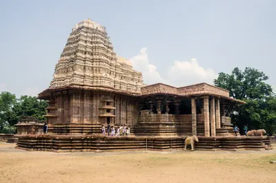
Temples & architecture
Stupas, rock-cut caves, temples, mosques, tombs and palaces, and how they were built.
Government & administration
Kingship, the nayankara system, village officers, land revenue and law.
Daily life & festivals
Food, dress, homes and games; Sankranti, Ugadi, Bathukamma, Bonalu and other festivals.
Inscriptions & sources
How we know: inscriptions, coins, travellers' accounts, the Mackenzie kaifiyats and archives.
Land, rivers and water
How the land shaped Telugu history: a coastal plain with two great river deltas, the forested hills of the Eastern Ghats, and the dry Deccan plateau of Telangana and Rayalaseema. The deltas rarely failed, while the uplands lived by rain and by tanks. The pages below follow the rivers, the water works, the forests and hills, and the famines, floods and cyclones that the old records describe.
Rivers of the Telugu country
The Godavari, the Krishna and its tributaries the Tungabhadra and the Musi, the Penna (Pennar) and the Kolleru lake, as the gazetteers of about 1900 describe them: their courses through the Telugu country, their deltas, the holy places and towns on their banks, their floods and their crossings.
Old names of regions
The old country names of the Telugu lands and where the sources place them: Andhra and Telingana, Vengi between the two deltas, Kammanadu round Ongole, Velanadu in the western Krishna delta, Pakanadu between Ongole and Nellore, Renadu round Kadapa, the Kondapalli and Kondavidu countries, and the later names Circars and Ceded Districts. Names only: for how borders changed, see How the map changed.
References
Notes (0)
Sources (8)
Spotted an error on this page? Tell us
Last updated: